
Opelofa Trail
Trailheads Bartram Trailhead 341 ft Drive there · Opelofa Loop Trailhead 294 ft Drive there · Opelofa Loop Trailhead 289 ft Drive there · Opelofa Trailhead 341 ft Drive there · River Trailhead 285 ft Drive there
Opelofa Loop Trail the Park Service's write-up
15-30 Minutes · dogs allowed
Start Opelofa Loop Trailhead
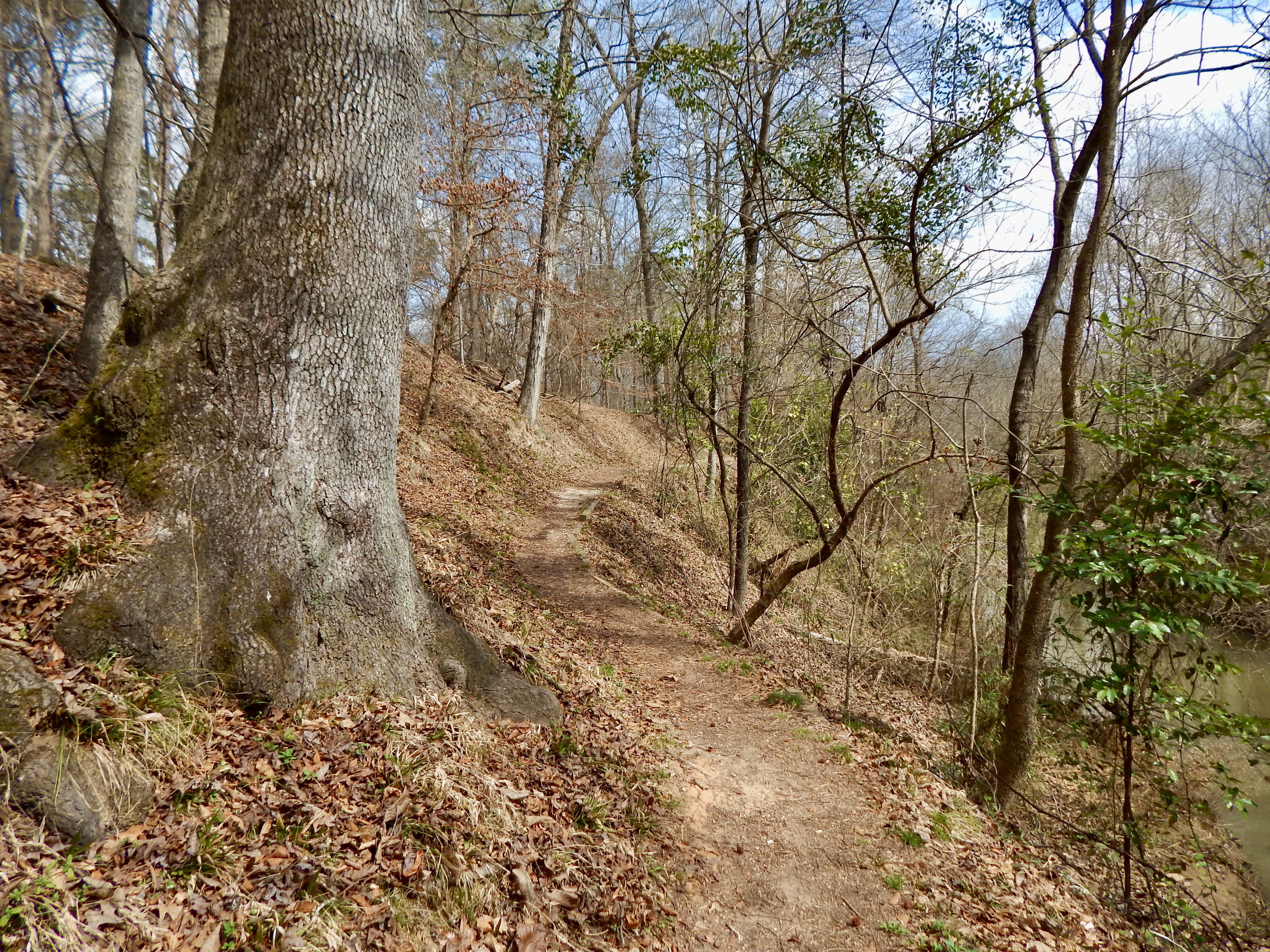
This quirky trail is an offshoot of the longer Opelofa Trail. The trail loops through woods before running parallel to Walnut Creek. Hikers should be aware that there is a small drop-off to one side of the trail during this portion. Walnut Creek is home to reptiles, amphibians, and the occasional beaver and otter.
Accessibility The trail is dirt, with steep shoulders at portions. Some portions are narrow, while others are broad. The grade is moderate.
Opelofa Trail 1 mi loop · the Park Service's write-up
20-60 Minutes · dogs allowed
Start Opelofa Trailhead
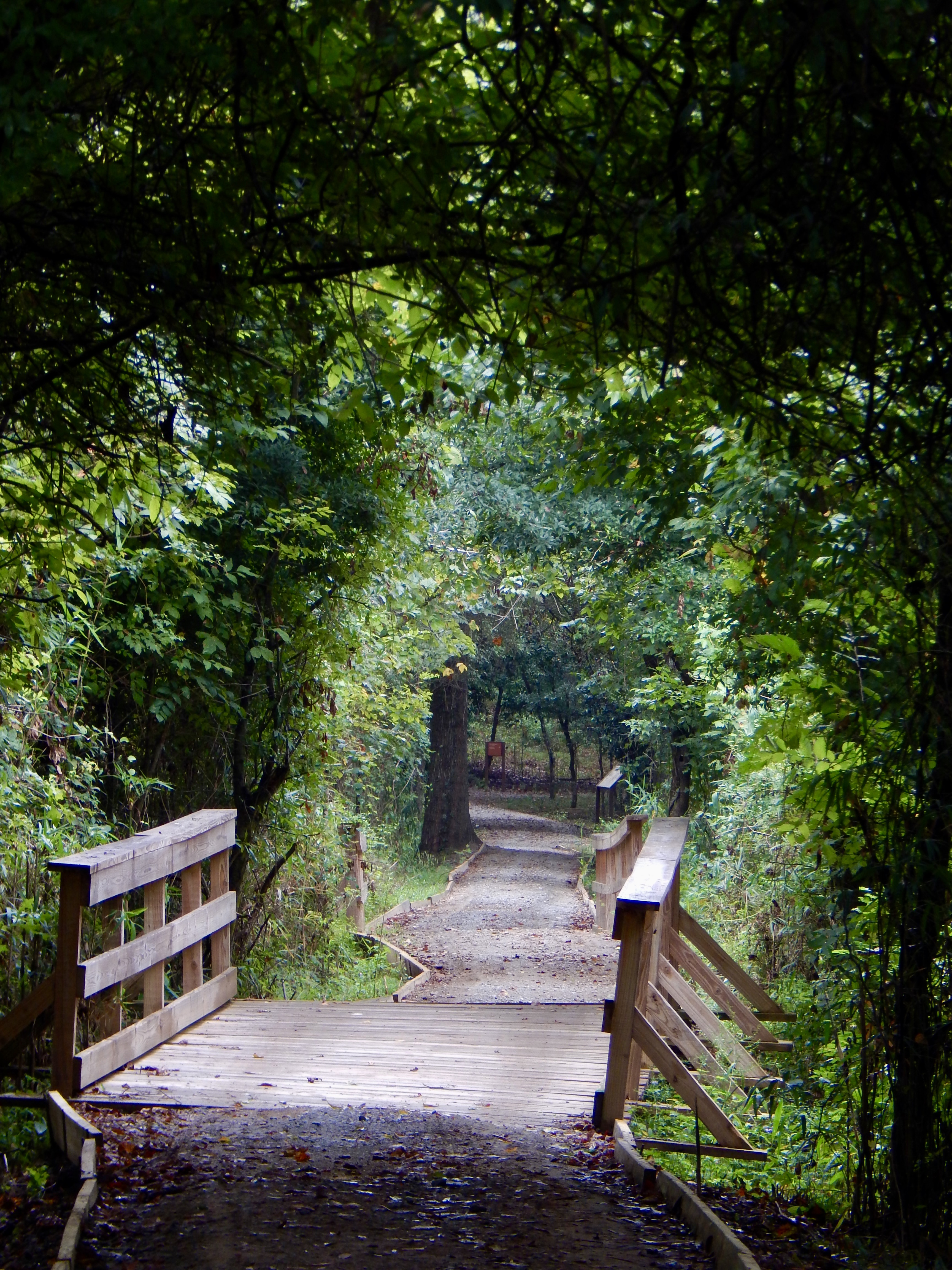
"Opelofa" is a Muscogee (Creek) word which means "like-a-swamp." There is abundant wildlife in the wetlands this trail runs through. It is great for bird watching; you may see egrets, osprey, herrings, and anhinga just to name a few. The Walnut Creek wetlands has fish, turtles, frogs, and snakes. Part of this trail borders Walnut Creek, which is occasionally home to beaver.
Accessibility The majority of the trail is dirt, with gravel along some portions. The grade is mostly flat other than one flight of stairs at the beginning. The trail runs beside the park road for the final 1/4 mile.