Ocmulgee Mounds National Historical Park · Georgia

River Trail

0.7 mi of trail, end to end · 284 ft–290 ft · hiking

285 ft 290 ft · 0.6 mi high 290 ft

Trailhead River Trailhead 285 ft Drive there

Ocmulgee River Trail the Park Service's write-up

30-60 Minutes · dogs allowed

Start River Trailhead
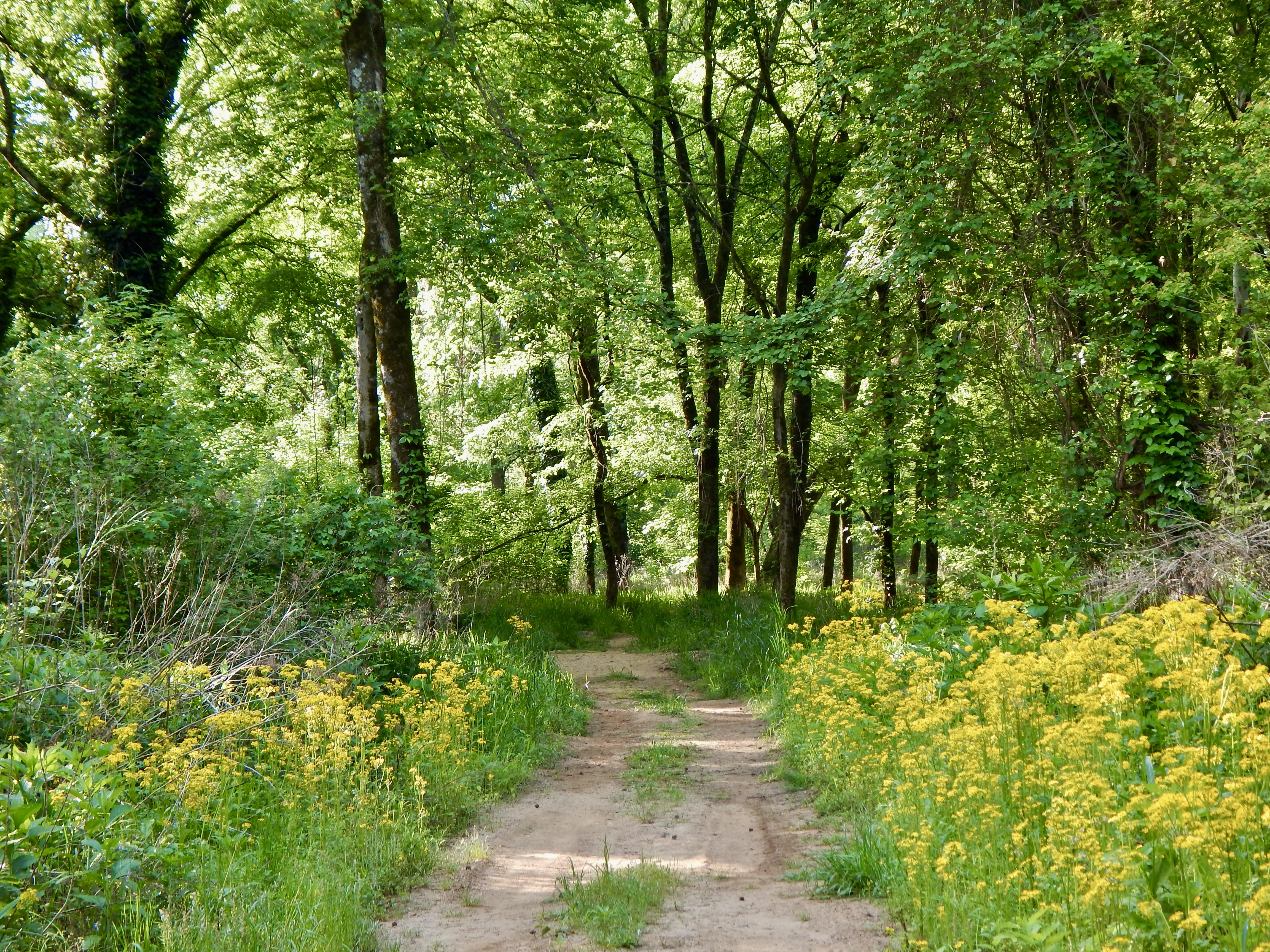
A dirt trail through woods.
River Trail Photo: NPS/Martinson

This trail winds through a wooded area to the Ocmulgee River. It borders Walnut Creek to where it meets the river, making it a good place to potentially see wildlife. However, visitors have occasionally encountered dangerous wildlife such as alligators along this trail or the river. Be aware of your surroundings as you walk along this trail and the river.

Accessibility The trail is paved in some areas but is a dirt path in others. Storms can flood the trail and cover it with silt throughout the year.

This hike on nps.gov

Other trails from the River Trailhead

All 17 trails in Ocmulgee Mounds National Historical ParkFind a trailOn the parks mapPark on nps.gov

About this trail's facts

The lines are the National Park Service's public trails layer, the trailheads and the waterfalls, views, peaks and historic places along them the Service's public points of interest, read 2026-10-16 and simplified for the map; the length is the line's, end to end. The write-ups are the Service's own "things to do" text, unedited. Heights come from USGS 3DEP through Terrain Tiles on AWS (Mapzen/Tilezen), read along each line and rounded; a short trail on steep ground can be off by a few tens of feet. Closures change: check the park's own site before you go.