Trails in Ocmulgee Mounds National Historical Park
17 named trails · 6 miles · 15 trailheads · 9 with the Park Service's own write-up. The lines, trailheads and points are the Park Service's; the write-ups are the Service's own words; the climbing is read from USGS elevation along each line.
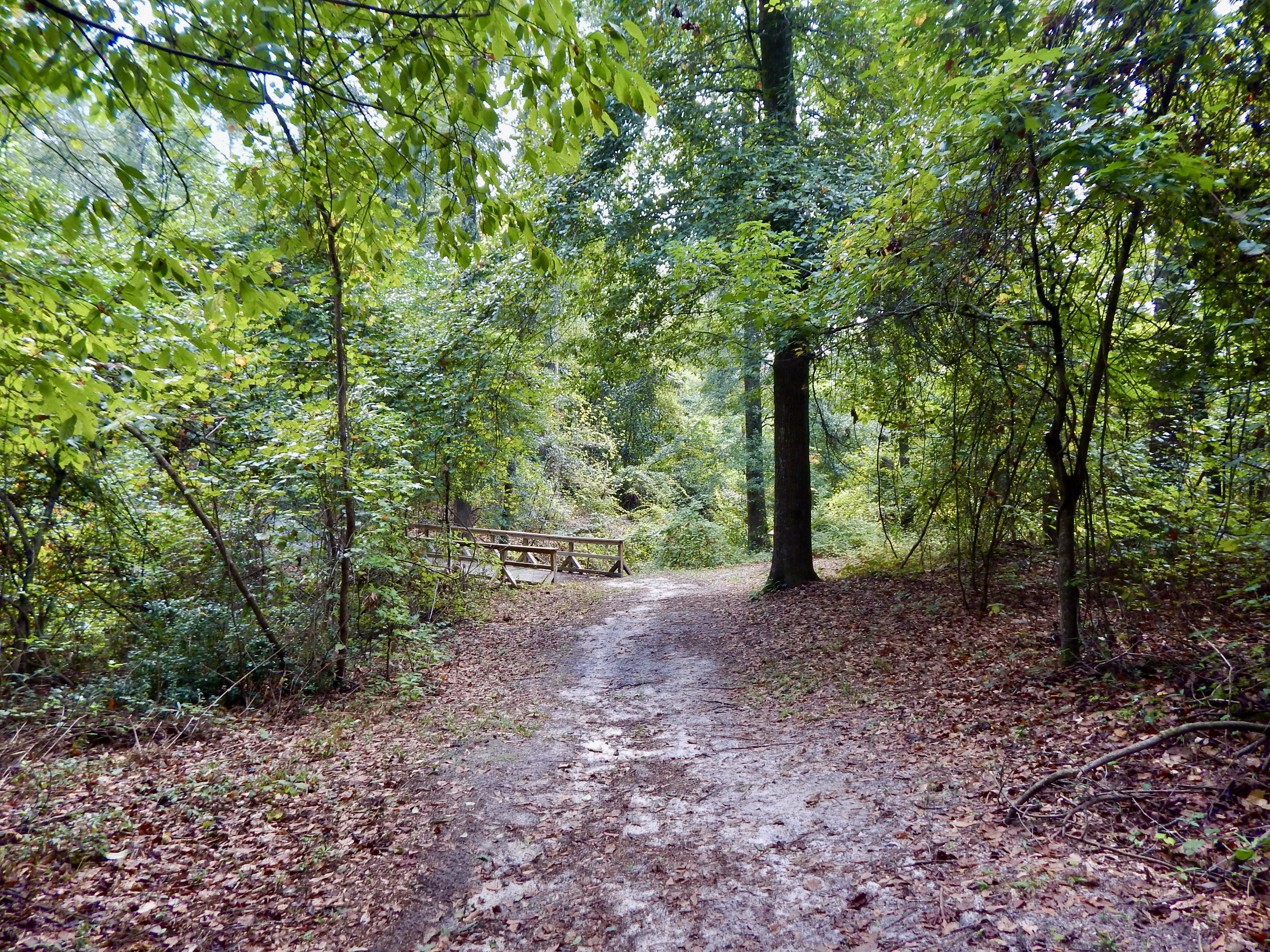
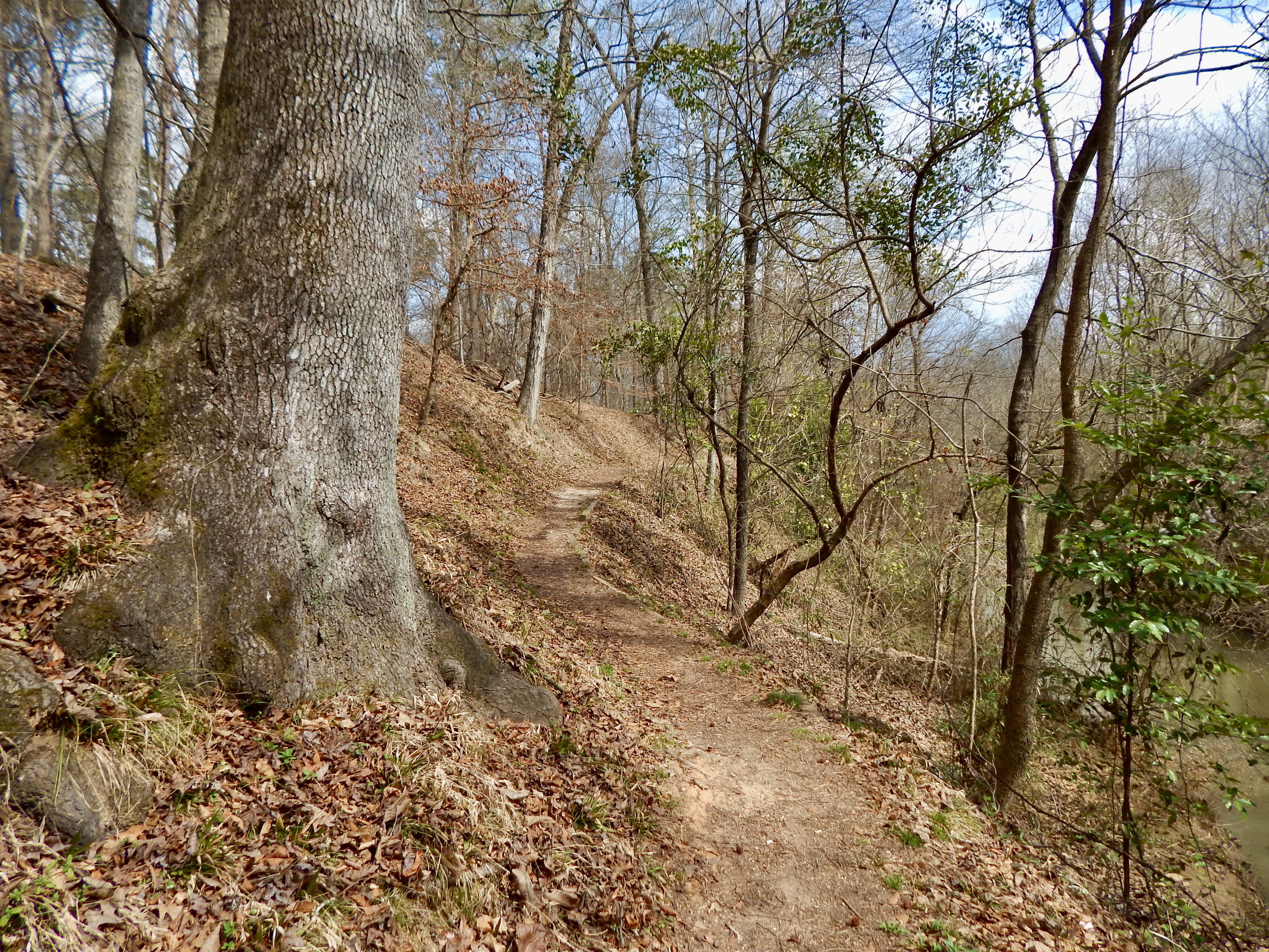
William Bartram (1739-1823) was a well-known naturalist who traveled through this area in 1774 and 1776. Bartram wrote about the "Old Ocmulgee Fields" in his journal. The trail winds lazily through the woods on both sides of the railroad bridge, which was built in 1874 and is on the National Historic Register. Walking this trail, you may encounter deer, squirrels, chipmunks, lizards and many varieties of birds.
Accessibility The trail is dirt, and the grade is moderate with a variety of inclines and descents.
This short trail connects the Main Trail to the Bartram Trail. It also leads to the Southeast Mound, one of the lesser-known mounds in the park. The trail begins at the southeast corner of the Trading Post site and travels through the woods a short way to end at the park road.
Accessibility The trail is a dirt trail that is mostly level other than one steep descent at the end to reach the park road.
0.2 mi one way · 363 ft–374 ft · native surface · hiking
TrailheadCornfield Mound Trailhead 368 ft Drive there
Cornfield Mound Trail the Park Service's write-up
5-10 Minutes · dogs allowed
Start Cornfield Mound Trailhead
Cornfield Mound Trail Photo: NPS/Martinson
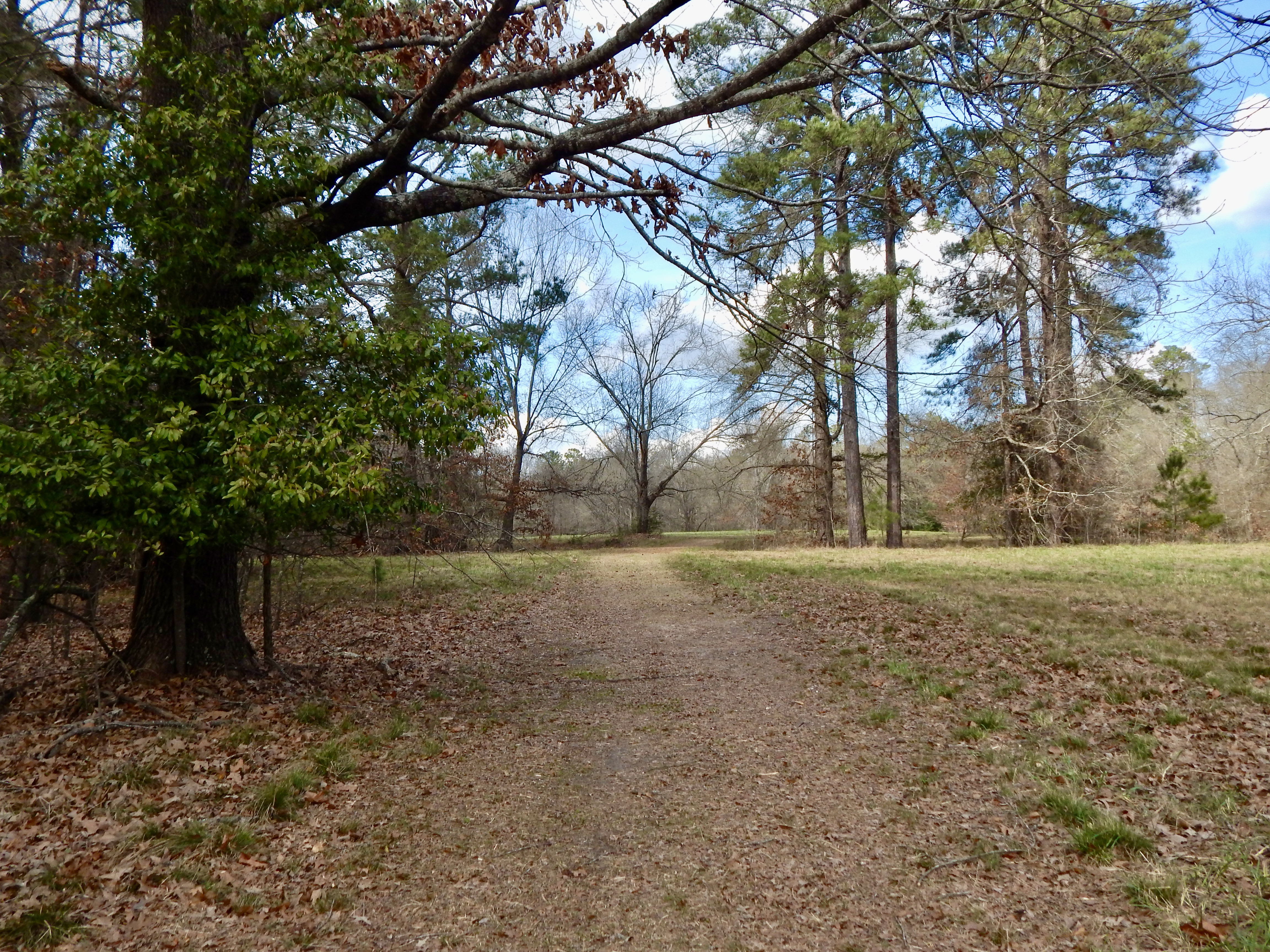
This trail is a grass and dirt trail that goes past the Corn Field Mound and prehistoric trenches, and ends at the Heritage Trail. The Corn Field Mound is believed to have originally been a ceremonial cornfield. Later the mound was built over the field. The purpose of the prehistoric trenches is unknown. It could have been used for a fortification or for borrow pits for mound building.
Accessibility The trail is part dirt and part grassy. It is level with no grade.
This trail leads to one of a few surviving Civil War earthworks in Macon, and to the Dunlap Mound.The Civil War earthworks were constructed after the Battle of Dunlap Hill, which took place July 30, 1864. The earthwork was used again that same year in November during the Battle of Walnut Creek. It is named after Samuel Dunlap, who purchased the property in 1856 to build his house and establish a dairy farm. The Dunlap House is a private residence today.
Accessibility The trail is 1/4th of a mile long and has a flat grade. It begins as a gravel path before transitioning to grass when it reaches the Dunlap Mound and Civil War earthworks.
1.7 mi one way · about 40 ft of climbing · 70 ft of descent · 288 ft–369 ft · asphalt, wood surface · bike, hiking · seasonal
TrailheadsAccess trail Trailhead? trading post? 362 ft Drive there · Cornfield Mound Trailhead 368 ft Drive there · Heritage Trailhead 311 ft Drive there · Heritage Trailhead 358 ft Drive there · McDougal Trailhead 370 ft Drive there
Cornfield Mound Trail the Park Service's write-up
5-10 Minutes · dogs allowed
Start Cornfield Mound Trailhead
Cornfield Mound Trail Photo: NPS/Martinson
This trail is a grass and dirt trail that goes past the Corn Field Mound and prehistoric trenches, and ends at the Heritage Trail. The Corn Field Mound is believed to have originally been a ceremonial cornfield. Later the mound was built over the field. The purpose of the prehistoric trenches is unknown. It could have been used for a fortification or for borrow pits for mound building.
Accessibility The trail is part dirt and part grassy. It is level with no grade.
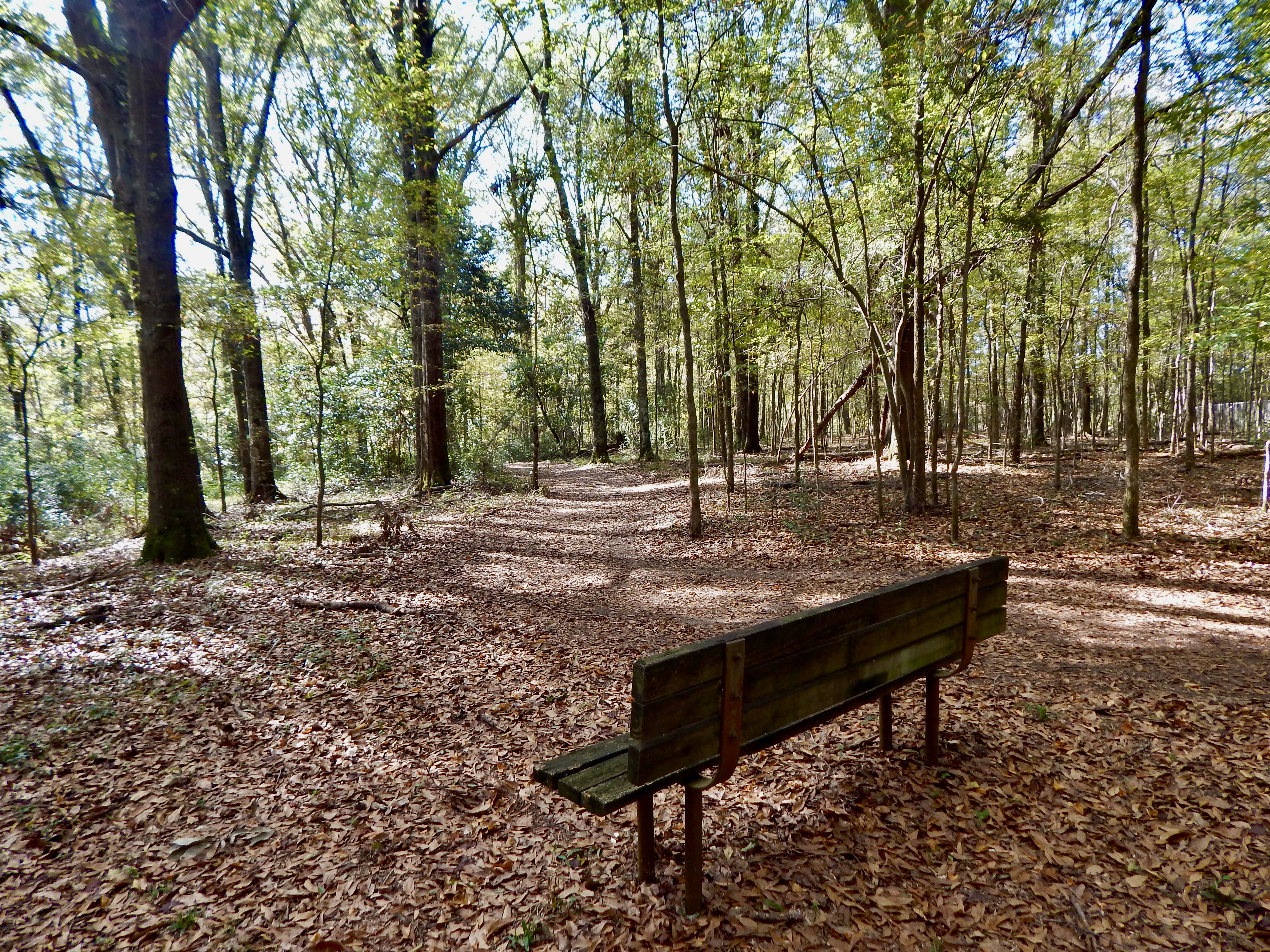
This loop trail starts near the Funeral Mound parking lot at the end of the park road. It explores a more secluded part of the park as it descends from open fields alongside the park road into a stand of trees.
Accessibility The trail is dirt, and is mostly flat with some gentle inclines.
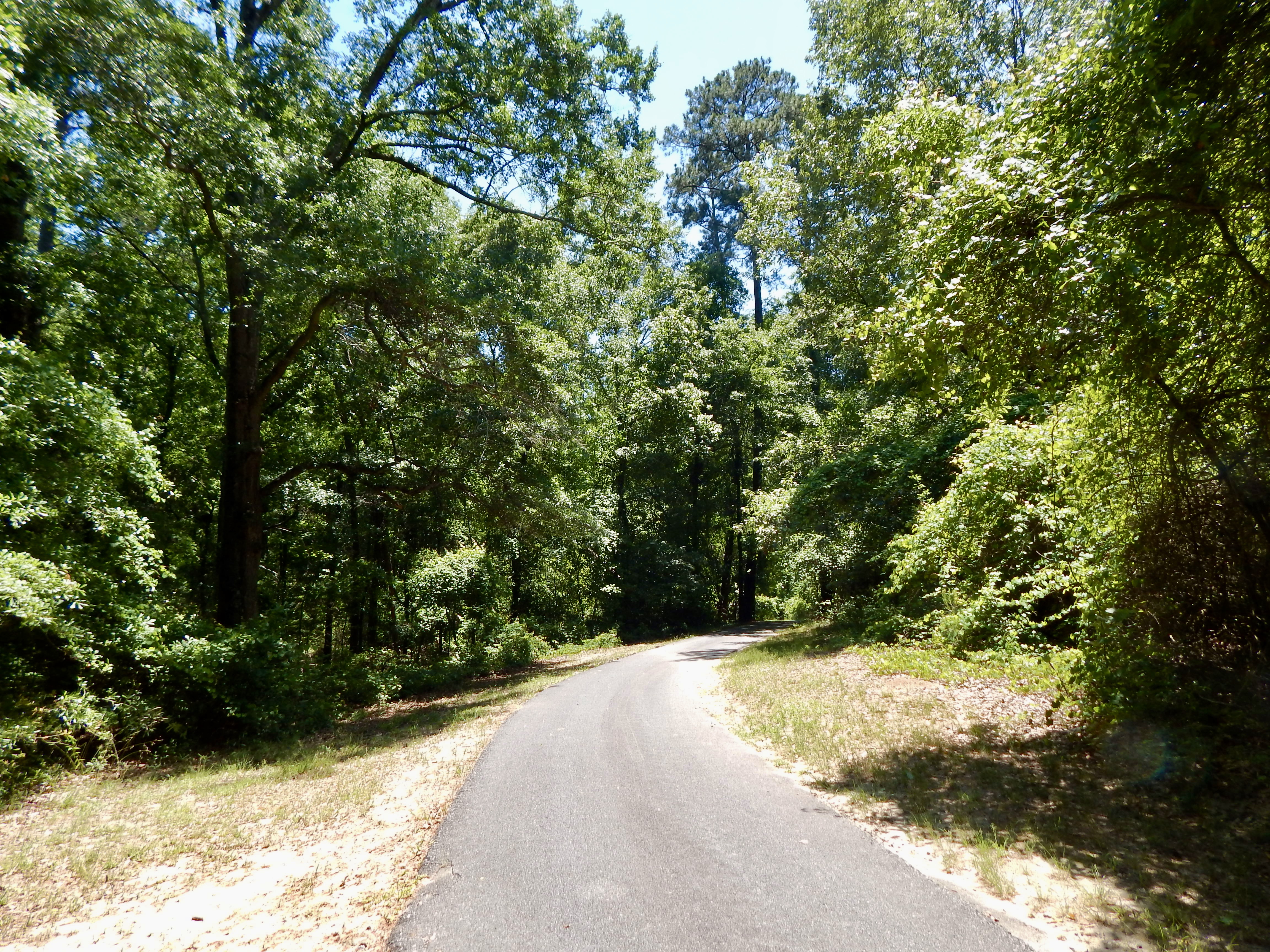
This trail is a biking and hiking trail that runs through the park. It begins behind the visitor center and goes to the Clinton Street foot gate. Along the trail you may encounter deer, woodpeckers, and lizards.
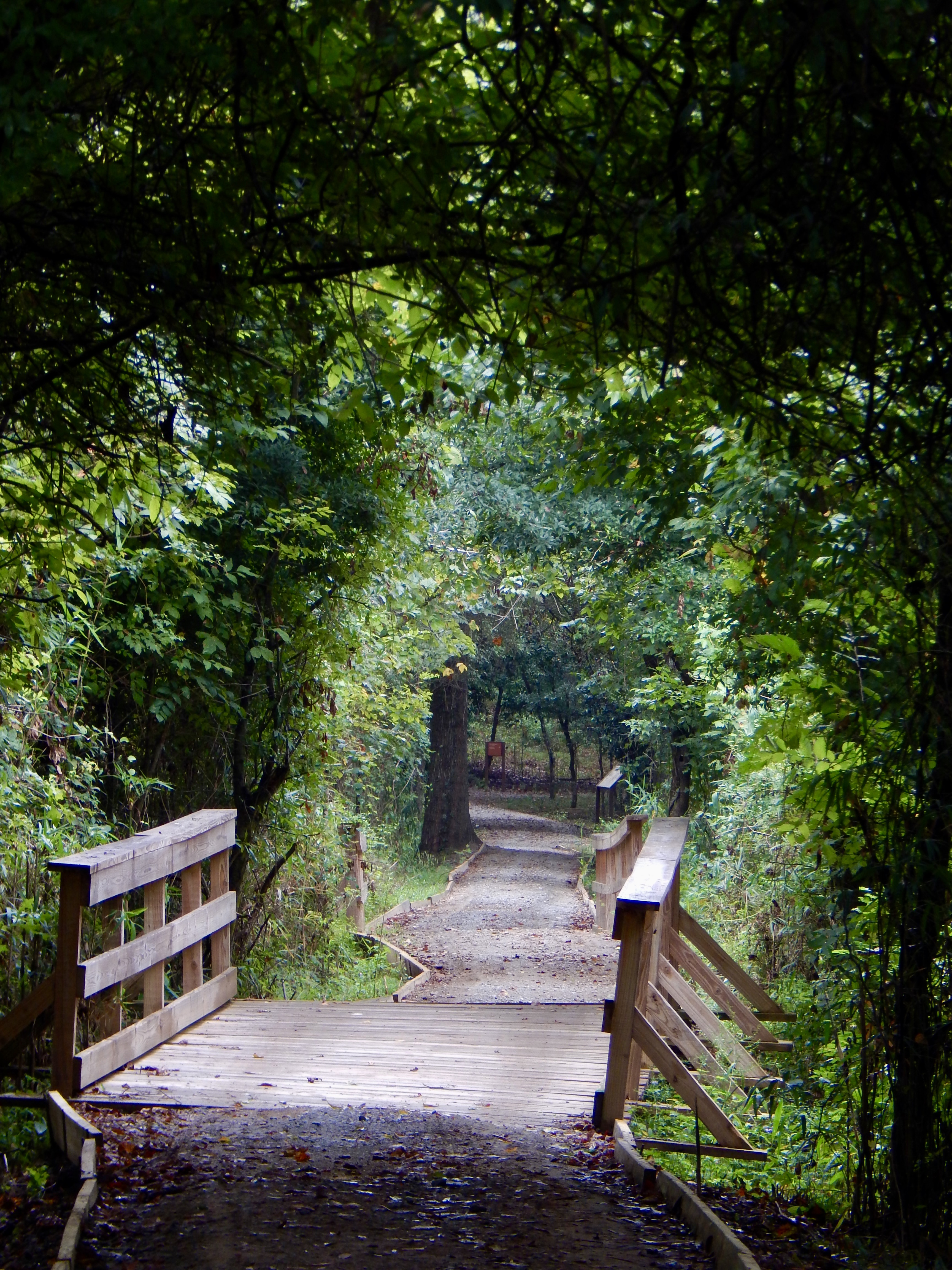
Accessibility The trail is paved and is mostly flat with some gentle slopes. One section has a steep grade leading down to a wooden bridge at the junction between the Heritage Trail and a gravel path leading towards the Main Trail of the park.
Main Trail leading towards the Earth Lodge Photo: NPS/Martinson
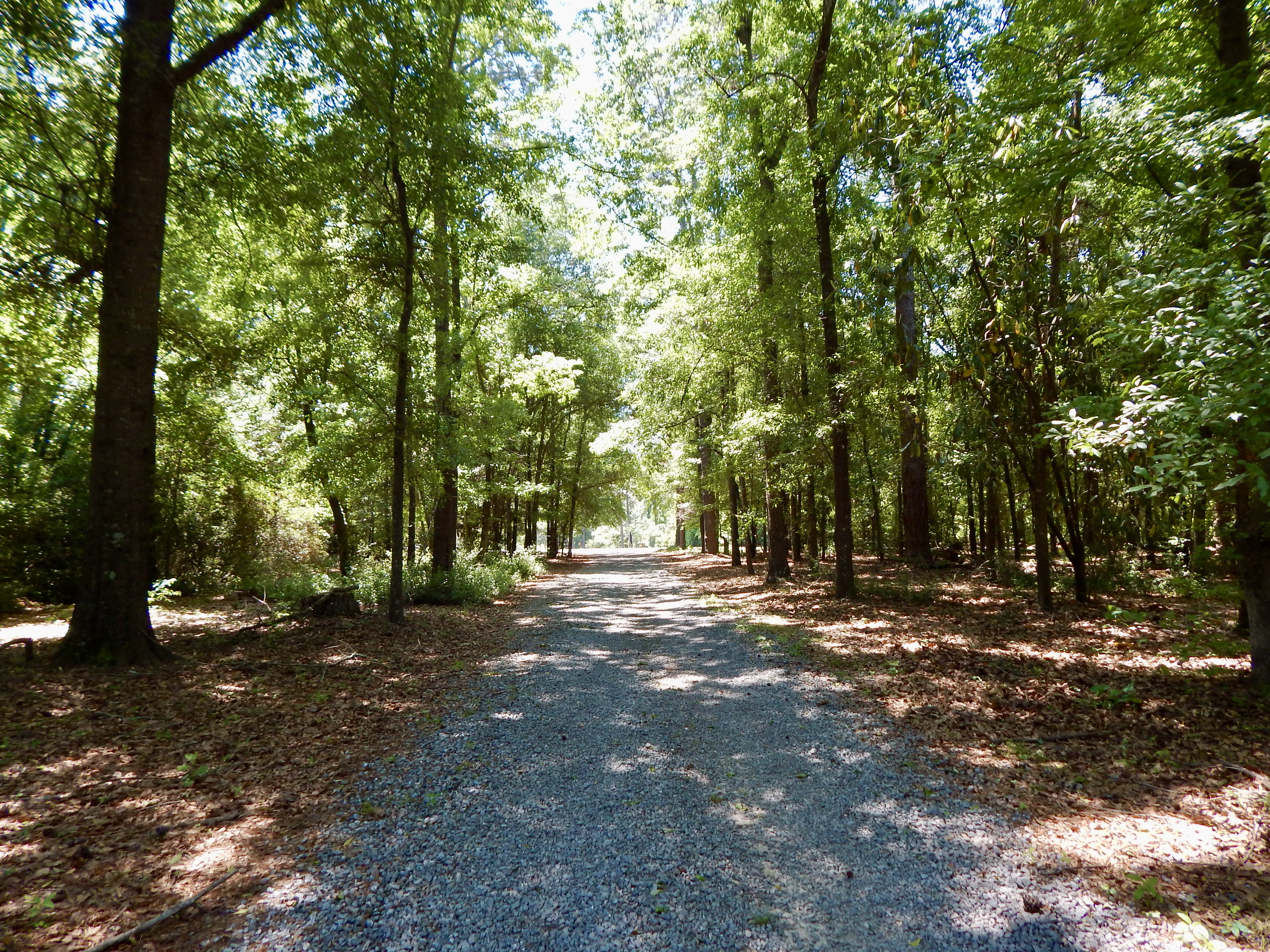
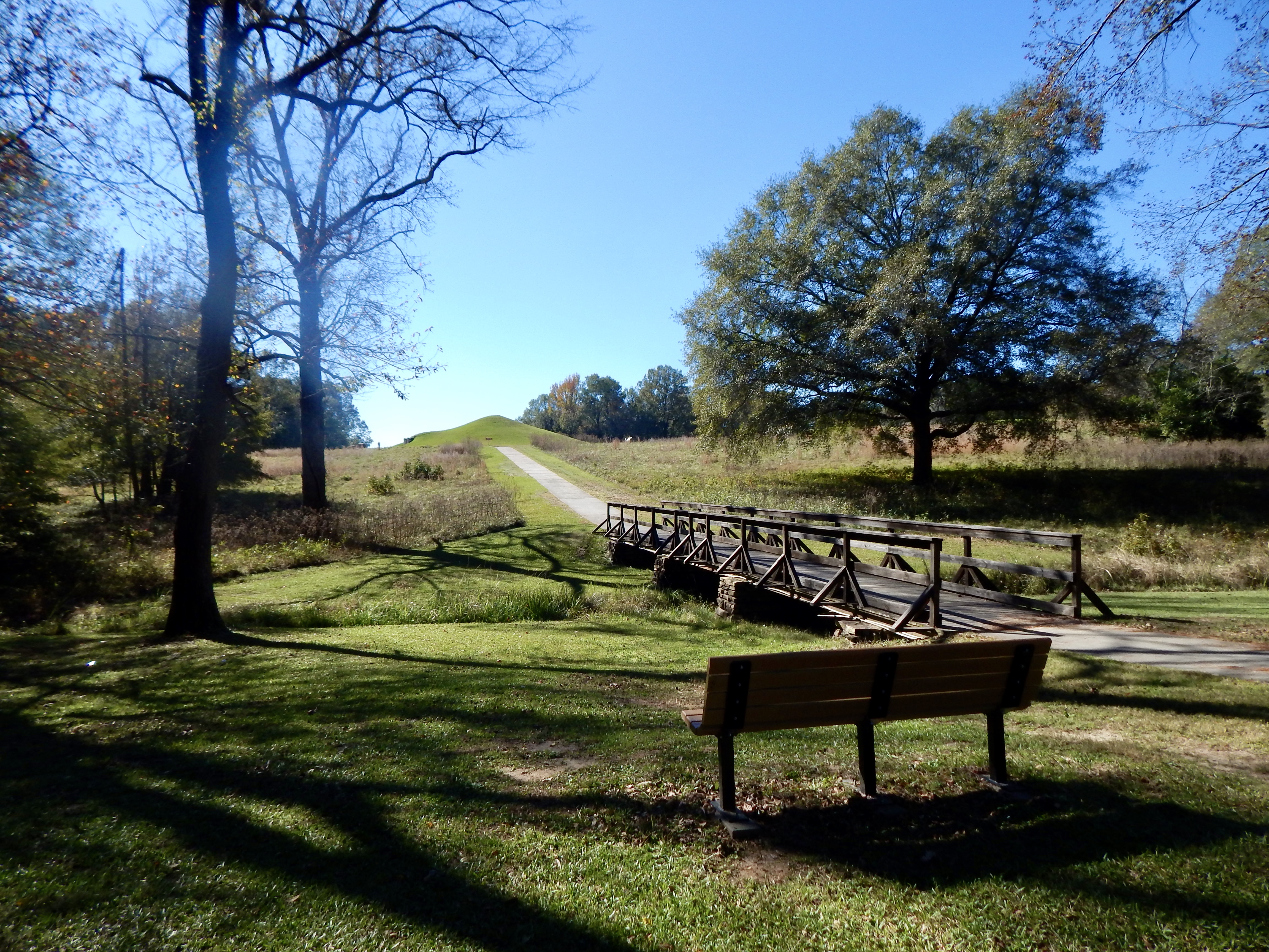
This 1/2-mile trail leads to three of Ocmulgee Mounds' most popular points of interest – the Earth Lodge, the Trading Post site, and the Great Temple Mound Complex.
Accessibility The majority of this 1/2 mile trail is paved, with a small section near the Trading Post being grass. The grade is flat other than a slight incline at the beginning leading to the Earth Lodge, another incline on the bridge over the railroad, and one descent on a narrower paved path leading down from the Trading Post towards the Great Temple Mound parking lot.
This trail is named after Captain Robert McDougal, who was in command of Fort Hawkins in 1809. McDougal died in 1809, and according to legend, was buried in a small Indian mound near the fort, but archaeologists did not find any human remains in the mound during the excavations in the 1930s. There were three smaller mounds between the McDougal Mound and the fort which were destroyed during expansion and construction of Macon. Along the trail you will see the park's original entrance from the 1930s.
Accessibility The trail begins on pavement on the Heritage Trail portion before transitioning to dirt for the remainder of the trail. It is relatively flat until just before the McDougal Mound, where there is a small flight of stairs.
This quirky trail is an offshoot of the longer Opelofa Trail. The trail loops through woods before running parallel to Walnut Creek. Hikers should be aware that there is a small drop-off to one side of the trail during this portion. Walnut Creek is home to reptiles, amphibians, and the occasional beaver and otter.
Accessibility The trail is dirt, with steep shoulders at portions. Some portions are narrow, while others are broad. The grade is moderate.
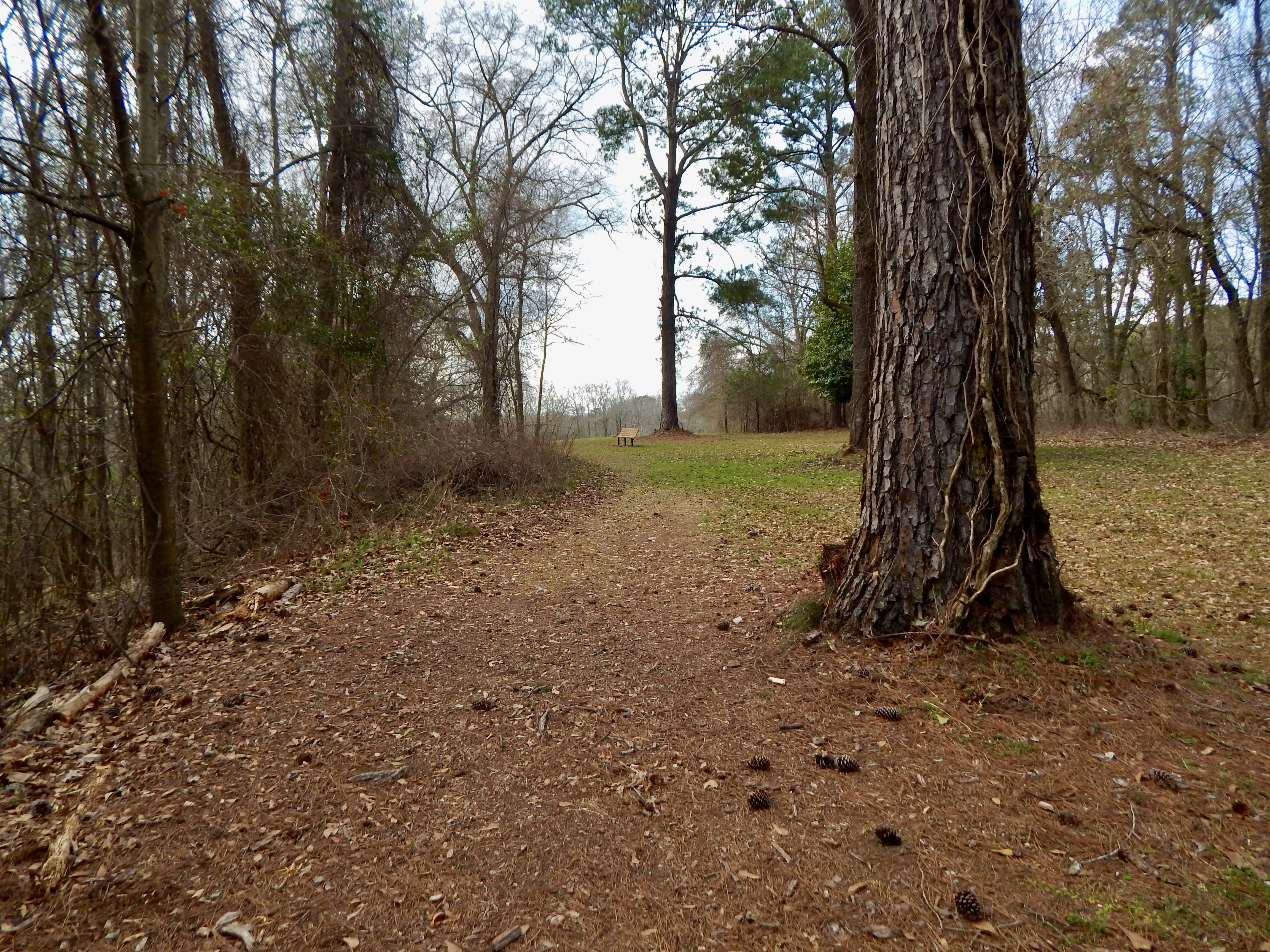
"Opelofa" is a Muscogee (Creek) word which means "like-a-swamp." There is abundant wildlife in the wetlands this trail runs through. It is great for bird watching; you may see egrets, osprey, herrings, and anhinga just to name a few. The Walnut Creek wetlands has fish, turtles, frogs, and snakes. Part of this trail borders Walnut Creek, which is occasionally home to beaver.
Accessibility The majority of the trail is dirt, with gravel along some portions. The grade is mostly flat other than one flight of stairs at the beginning. The trail runs beside the park road for the final 1/4 mile.
This trail winds through a wooded area to the Ocmulgee River. It borders Walnut Creek to where it meets the river, making it a good place to potentially see wildlife. However, visitors have occasionally encountered dangerous wildlife such as alligators along this trail or the river. Be aware of your surroundings as you walk along this trail and the river.
Accessibility The trail is paved in some areas but is a dirt path in others. Storms can flood the trail and cover it with silt throughout the year.
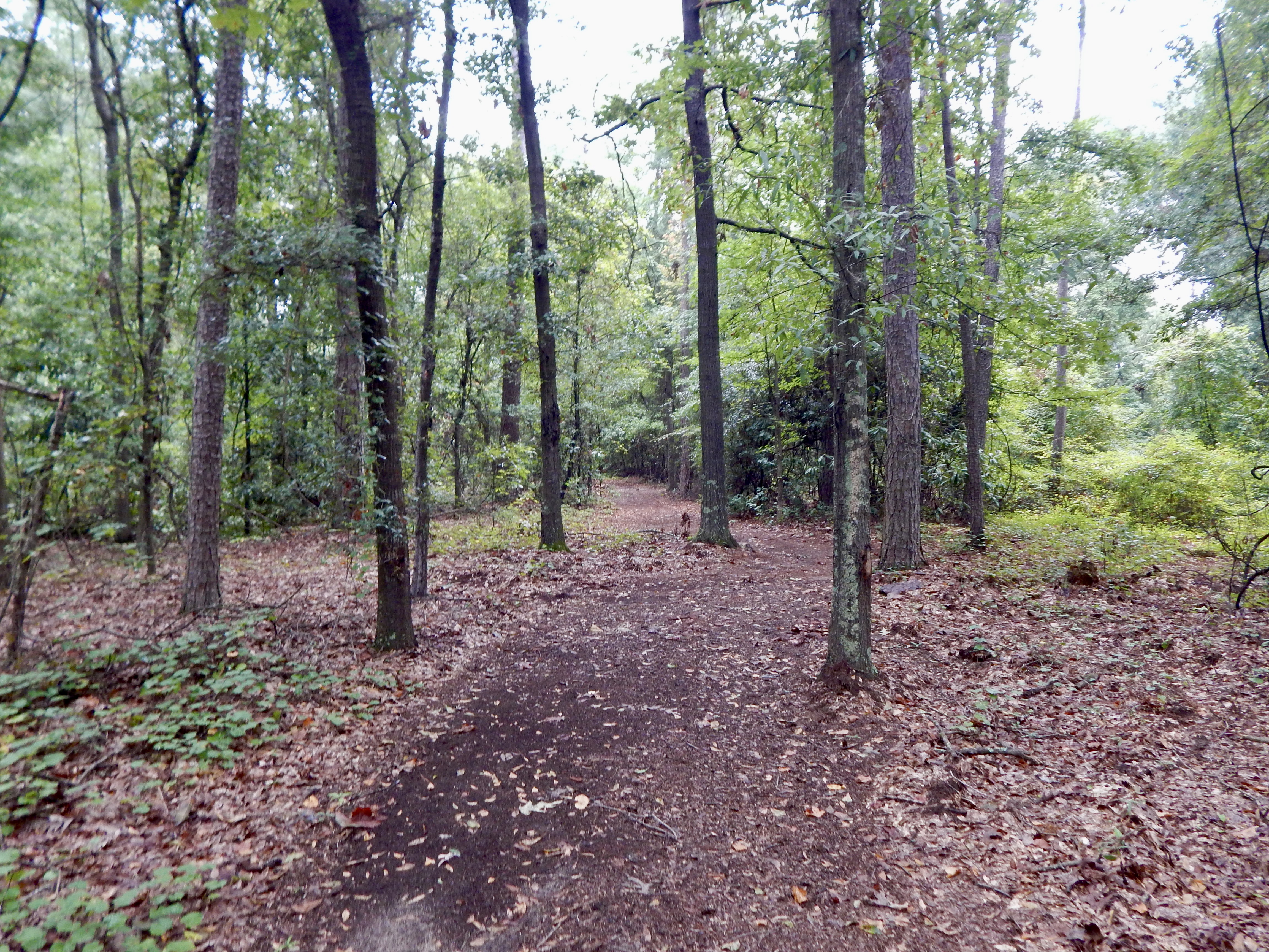
William Bartram (1739-1823) was a well-known naturalist who traveled through this area in 1774 and 1776. Bartram wrote about the "Old Ocmulgee Fields" in his journal. The trail winds lazily through the woods on both sides of the railroad bridge, which was built in 1874 and is on the National Historic Register. Walking this trail, you may encounter deer, squirrels, chipmunks, lizards and many varieties of birds.
Accessibility The trail is dirt, and the grade is moderate with a variety of inclines and descents.
This short trail connects the Main Trail to the Bartram Trail. It also leads to the Southeast Mound, one of the lesser-known mounds in the park. The trail begins at the southeast corner of the Trading Post site and travels through the woods a short way to end at the park road.
Accessibility The trail is a dirt trail that is mostly level other than one steep descent at the end to reach the park road.
0.1 mi one way · 10 ft of descent · 350 ft–362 ft · earth surface · hiking
TrailheadsAccess trail Trailhead? trading post? 362 ft Drive there · Trading Post Trailhead 348 ft Drive there
Hitchiti Village Site Trail the Park Service's write-up
5-15 Minutes · dogs allowed
Start Hitchiti Village Site Trailhead
Funeral Mound Trail Photo: NPS/Martinson
This trail starts at the Trading Post site on the side closest to the railroad bridge. It descends to a small creek and winds through a small area of woodland to reach the Funeral Mound parking lot. Early Creek Indians (late 1600's) are believed to have occupied this area prior to the Yamassee War of 1715.
Accessibility This is a dirt path that has a sharp descent at the beginning and a more shallow ascent at the end leading up to the Funeral Mound parking lot.
2 more mapped segments without a name are on the map, not in the list.
About these trails
The lines are the National Park Service's public trails layer, the trailheads and the waterfalls, views, peaks and historic places along them the Service's public points of interest, read 2026-10-14 and simplified for the map. The write-ups are the Service's own "things to do", unedited. Heights come from USGS 3DEP through Terrain Tiles on AWS (Mapzen/Tilezen), read along each line and rounded; a short trail on steep ground can be off by a few tens of feet. Closures change: check the park's own site before you go.