
Southeast Mound Trail
Trailheads Bartram Trailhead 341 ft Drive there · Opelofa Trailhead 341 ft Drive there
Bartram Trail the Park Service's write-up
20-40 Minutes · dogs allowed
Start Bartram Trailhead
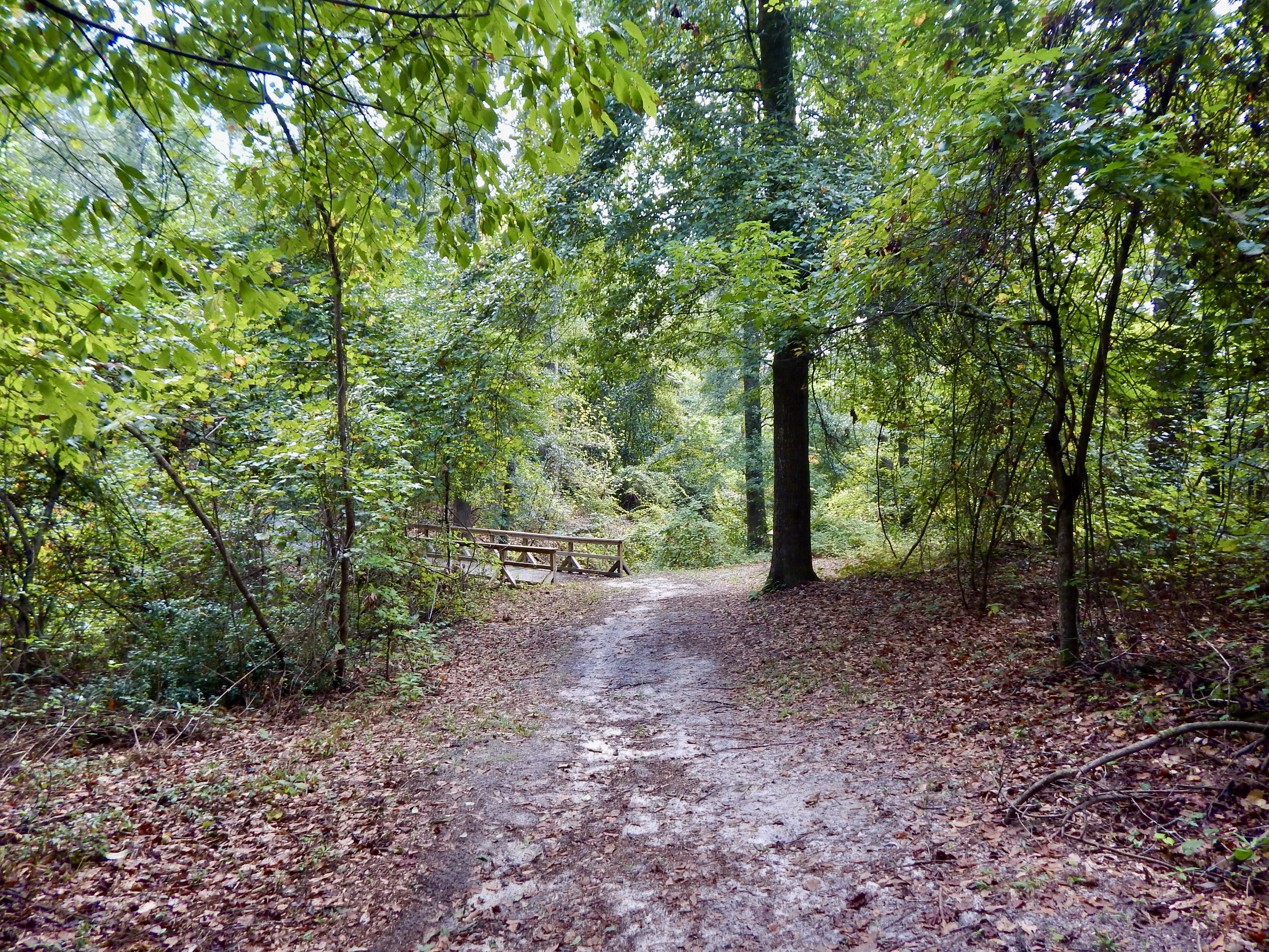
William Bartram (1739-1823) was a well-known naturalist who traveled through this area in 1774 and 1776. Bartram wrote about the "Old Ocmulgee Fields" in his journal. The trail winds lazily through the woods on both sides of the railroad bridge, which was built in 1874 and is on the National Historic Register. Walking this trail, you may encounter deer, squirrels, chipmunks, lizards and many varieties of birds.
Accessibility The trail is dirt, and the grade is moderate with a variety of inclines and descents.
Southeast Mound Trail the Park Service's write-up
5-10 Minutes · dogs allowed
Start Southeast Mound Trailhead
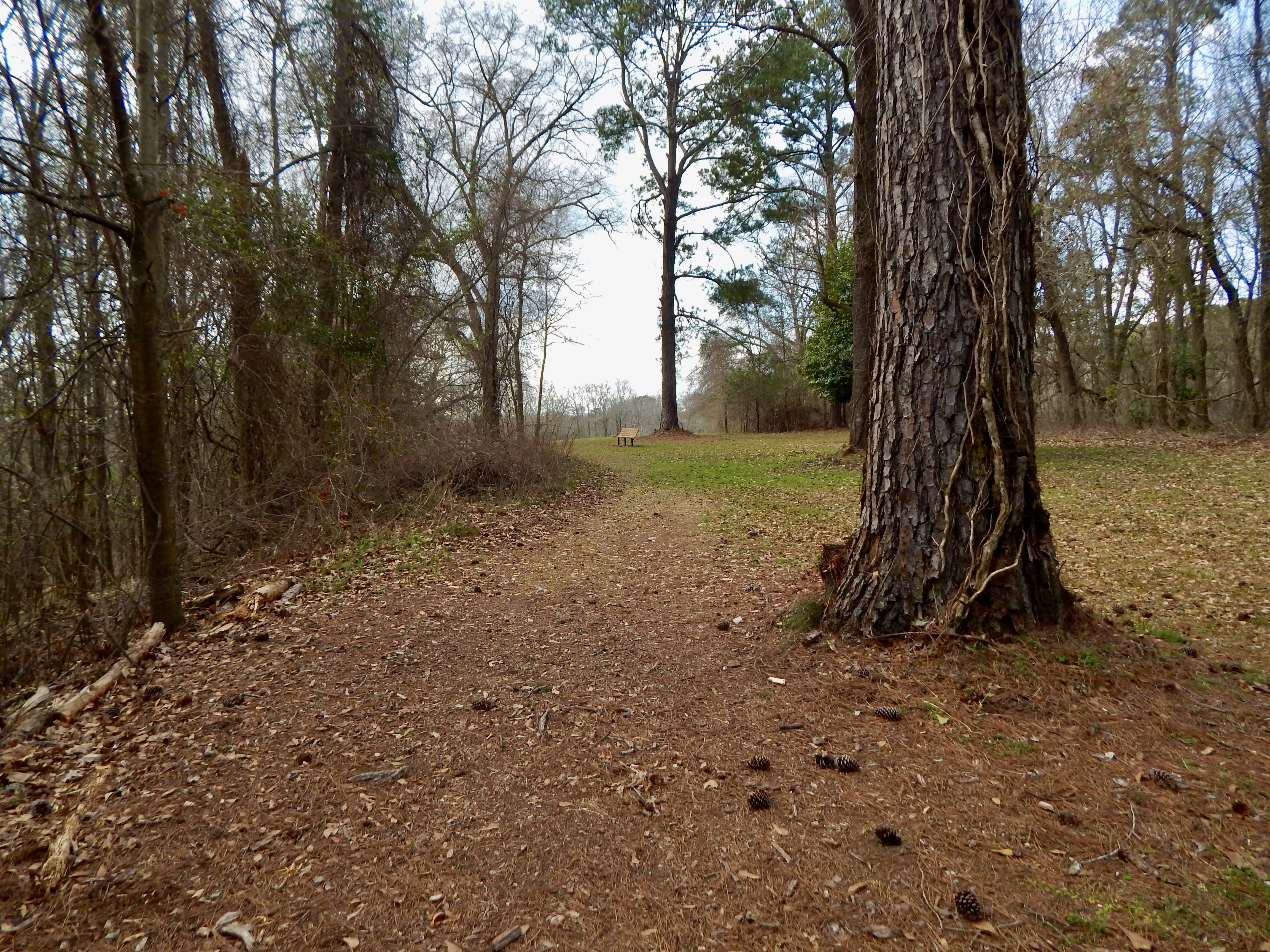
This short trail connects the Main Trail to the Bartram Trail. It also leads to the Southeast Mound, one of the lesser-known mounds in the park. The trail begins at the southeast corner of the Trading Post site and travels through the woods a short way to end at the park road.
Accessibility The trail is a dirt trail that is mostly level other than one steep descent at the end to reach the park road.