
Backcountry Driving Route
History
Along the way Old Barn
Trailheads Garita Trailhead 8,561 ft Drive there · La Jara Trailhead 8,516 ft Drive there · Rio de los Indios Trailhead 8,560 ft Drive there · Valle Jaramillo Trailhead 8,797 ft Drive there · VC05 Trailhead 8,741 ft Drive there · VC10 Trailhead 8,393 ft Drive there
Hike the Cabin District Interpretive Trail 0.6 mi round trip · the Park Service's write-up
30-60 Minutes · dogs allowed · entrance fee applies
Start Cabin District Trailhead
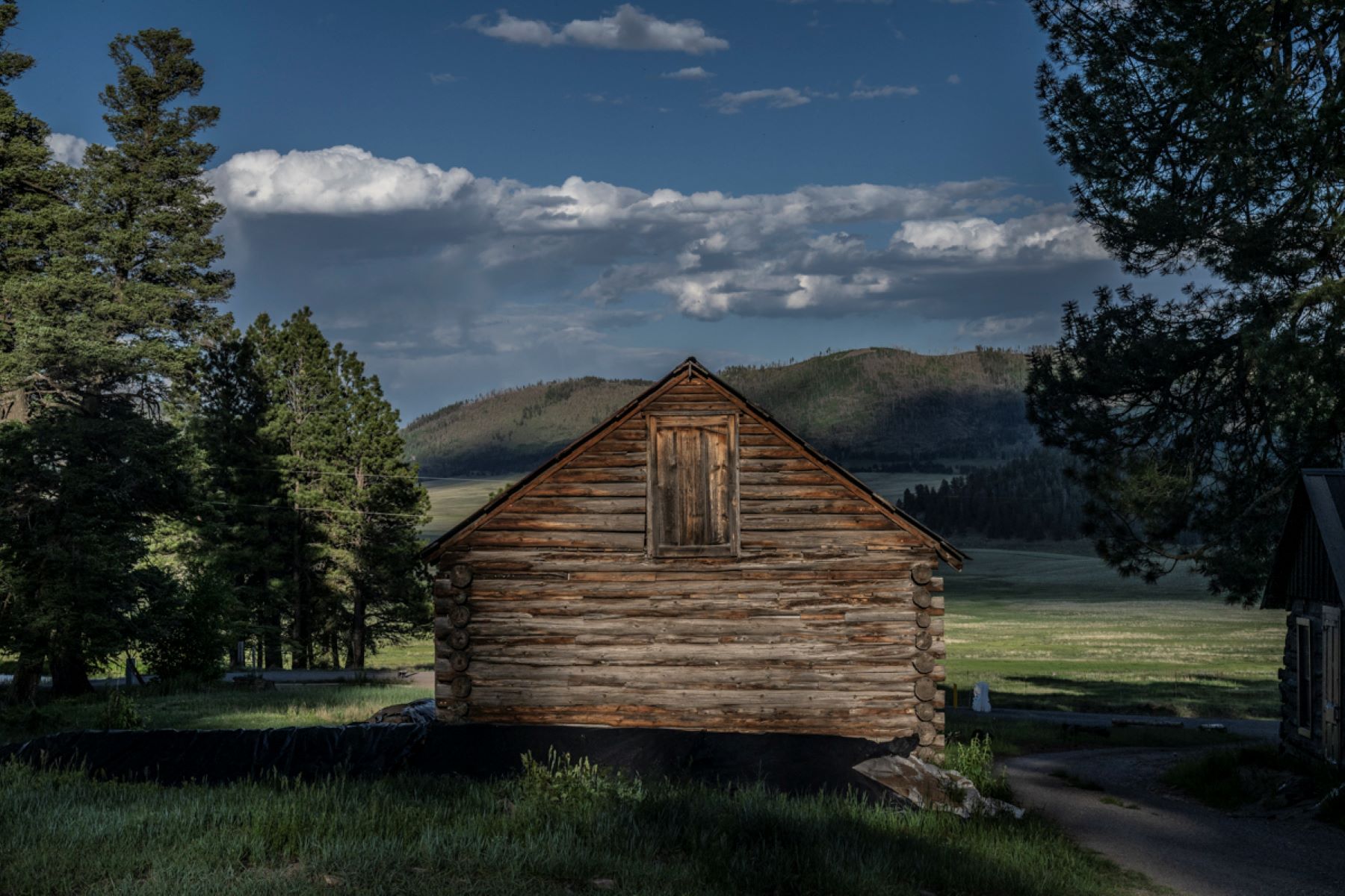
The Cabin District Intrepretive Trail is a short and gentle route traversing the historic ranch headquarters for Baca Land & Cattle Company. Interpretive signs along the trail describe each building and its purpose in the ranching operation that persisted here for nearly a century. For an even more immersive experience, download the NPS app for a self-guided audio tour of the Cabin District.
To reach the trailhead, drive 4 miles down the entrance road to the Cabin District. Turn left and park in the parking area. The trail begins at the farther parking lot and heads toward the Cowboy Cabin, which is just south of the Volcano Discovery Center.
Accessibility The Cabin District Interpretive Trail is wheelchair accessible.
Hike the Jemez River Trail 3.4 mi round trip · the Park Service's write-up
2-3 Hours · no dogs · entrance fee applies · season Use extra caution on this trail in the winter. The trail follows the stream very closely in places, so snowy conditions can cover up the stream, causing hikers to step into the water by accident.
Start Jemez River Trail
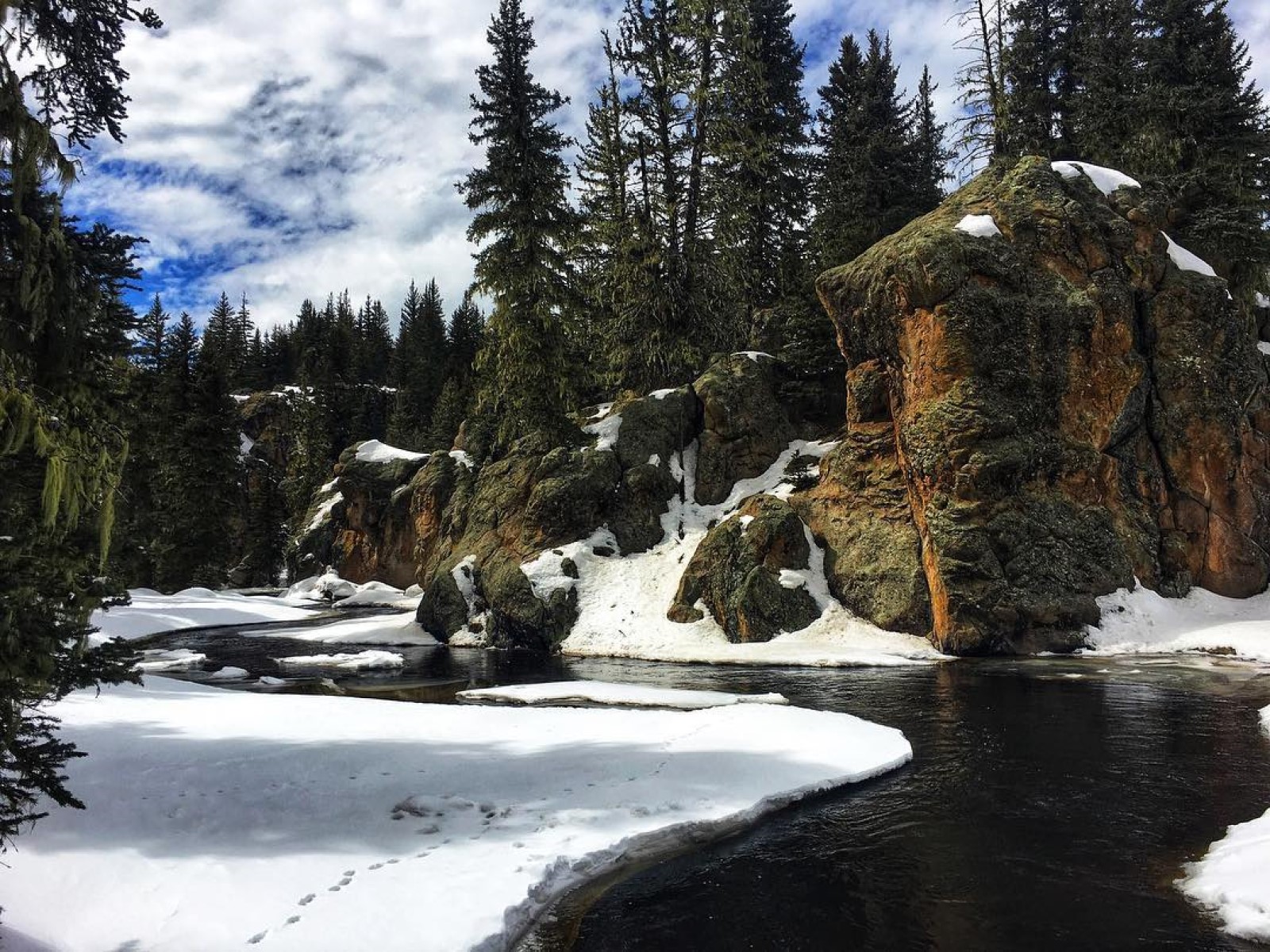
This 3.4-mile (5.5 km) out-and-back trail features breathtaking views along the East Fork Jemez River as it flows toward the southwestern corner of the preserve. The trail initially climbs up a hill with outstanding views of Valle Grande and then drops down into the canyon of the East Fork. From here, you'll hike downstream, passing volcanic rock formations along the way. Some parts of the trail may be marshy.
Use extra caution on this trail in the winter. The trail follows the stream very closely in places, so snowy conditions can cover up the stream, causing hikers to step into the water by accident.
Elevation: 8,406 - 8,573 feet
Accessibility This unpaved, natural surface trail has steep grades for the first half mile. The trail then narrows significantly and follows a stream through a marshy area. Service animals are permitted.
Hiking in Valles Caldera the Park Service's write-up
dogs allowed · entrance fee applies
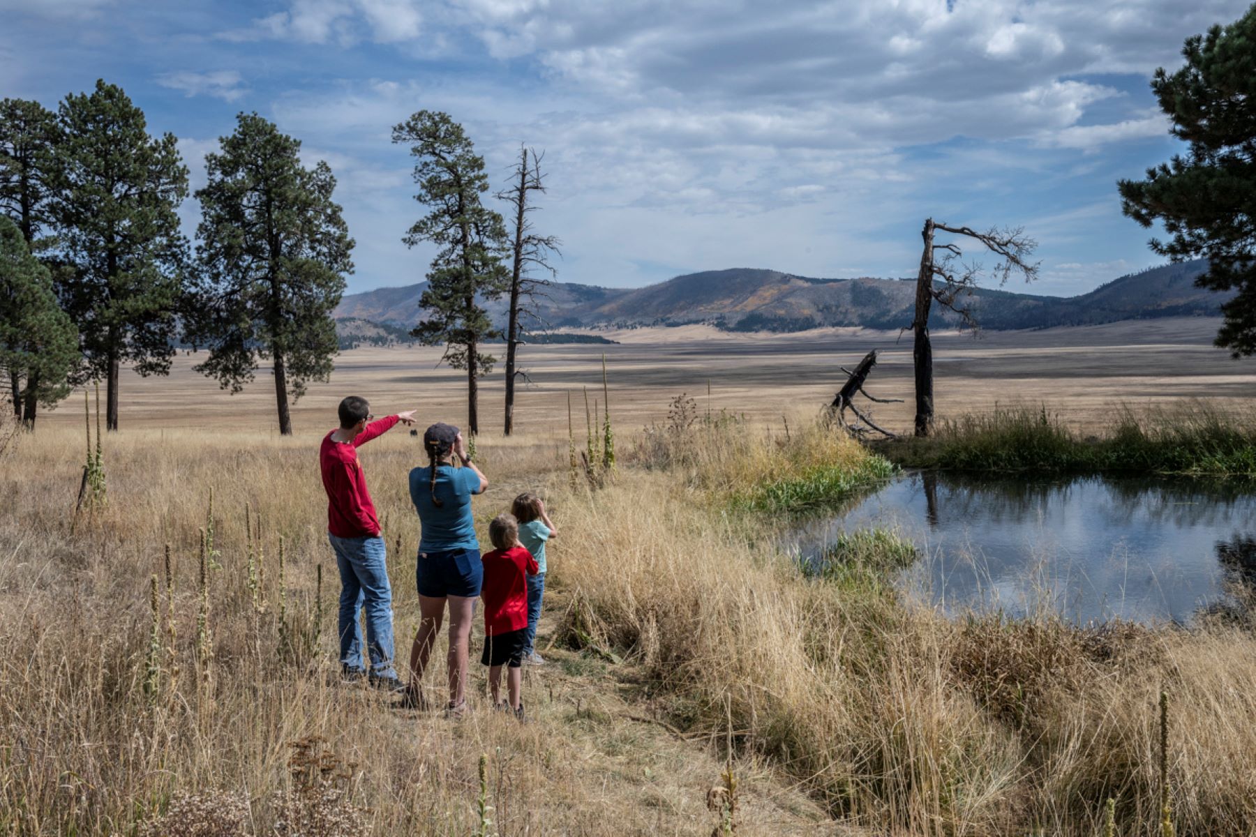
Hiking routes within Valles Caldera range from flat strolls through montane grasslands to steep climbs on forested lava domes. As this land was a private ranch for over 150 years, the majority of hiking routes follow old logging and ranching roads. Since Valles Caldera is a relatively new National Park Service site, trails are not well-marked, and most trailheads do not yet have signs. For this reason, it is imperative for hikers to carry a detailed park map to help identify landmarks and topography.
On many trails in the park, hikers will encounter large areas burned by the Las Conchas Fire (2011) and the Thompson Ridge Fire (2013). Do not linger in areas with standing dead trees, especially if it's windy or snowy. Trails in burned areas are also likely to have heavy deadfall to climb over or around. Please report any trail damage or obstacles to a park ranger.
If you wish to drive to a trailhead beyond the Cabin District, a backcountry vehicle pass is required. The backcountry route is open to vehicular traffic from May 15 to November 15 each year. Valles Caldera National Preserve issues 40 backcountry vehicle passes per day, and they are available to reserve up to 3 months in advance at Recreation.gov.
Know Before you Go
Leashed pets are allowed only on the Cerro La Jara Loop, South Valle Grande Trail, Rabbit Mountain Loop, and Cabin District Trail. Dogs are not permitted in vehicles beyond the Cabin District. The Santa Fe National Forest, which surrounds Valles Caldera National Preserve, offers even more hiking options for those with pets.
Even on short day hikes, carry your "ten essentials" including maps, compass, and/or GPS, sun protection, clothing layers, illumination with extra batteries, first aid supplies, repair kits and tools, food, water, and emergency shelter.
Hunting occurs in the park every spring and fall. Hikers should wear bright colors and use situational awareness during these seasons.
Remember, safety is your responsibility. Let a friend or family member know your itinerary.
High Elevation Dangers
Much of Valles Caldera is over 8,000 feet in elevation. Even very fit individuals coming from lower elevations may experience altitude problems. Symptoms include headaches, shortness of breath, insomnia, and rapid heartbeat. After a few days, your body will have made some physiological adjustments to higher elevations, but full acclimation may take weeks. To minimize symptoms, drink plenty of fluids, avoid alcohol, don't skip meals, and get plenty of rest. Ultraviolet light is stronger in the mountains because there is less atmosphere for the sunlight to pass through. Wear sunscreen, a hat, sunglasses, and consider wearing a long-sleeved shirt if you are out in the sun for an extended period of time.
Hiking Seasons and Conditions
Winter: Valles Caldera receives several feet of snow between November and April, and winter temperatures routinely stay below zero. Warm, layered clothing and sun protection are imperative. When snow conditions are suitable, groomed ski and snowshoe trails are available for visitors to enjoy. For visitor safety, pedestrian traffic is not permitted on roadways that are open to vehicles in the winter.
Spring: The months of April and May are extremely muddy at Valles Caldera as snowmelt saturates the ground and floods the valles . Hiking in wet and muddy conditions can cause extensive damage to park trails.
Summer: After the snow melts and drains from the mountains, wildflowers begin to pop across the montane grasslands. Summer mornings are wonderful for hiking, but beware of violent afternoon thunderstorms during monsoon season (generally June–August). It is possible to experience all four seasons in one day, and weather conditions can change rapidly, so be sure to come properly equipped with adequate clothing, including rain gear. Some routes pass through drainages or dry streambeds (arroyos), which can flood without warning.
Fall: Valles Caldera is quite lovely from September through November as the aspen leaves run through their colorful seasonal cycle and the elk enter the rut. Wildlife are particularly active during the fall months, so it's important to practice situational awareness and maintain a safe distance from any animal you encounter. As the seasons change, high winds are common in the valles, so pack a hat, layers, plenty of drinking water, and chapstick!
Water
Due to the high elevation and dry climate, you must drink more water here than in other places, regardless of season. Always carry adequate water (2-3 liters per person per day). There is no drinking water available at Valles Caldera National Preserve except for the bottled water available for purchase at the Entrance Station and Ranger Station. Water from East Fork, Jaramillo Creek, San Antonio Creek, and any other springs is not safe to drink. Boil or treat water from these sources before using.
Navigation
The maze of logging and ranching roads of the past create excellent avenues into this beautiful landscape, but navigation can be confusing. Some signage exists, but as a new unit to the National Park Service, Valles Caldera is in the process of developing its trail management and maintenance plan. Improvements to some routes will be made, while others may be decommissioned. For your safety, please take a navigable map and compass or GPS. Be sure to use the map provided by the NPS smartphone app which also has a GPS navigation. Be sure to put your device into airplane mode so that you save your valuable battery life. Always have a paper map for backup.
Wildlife
Valles Caldera is home to a wide variety of animals, from the thousands of elk for which it’s famous, to black bears, mountain lions, coyotes, badgers, and prairie dogs, as well as many species of birds, smaller mammals, and reptiles. Do not approach or attempt to touch any wildlife. In the event that you encounter a black bear or mountain lion, raise your arms to appear as large as possible, make a lot of noise, throw rocks, back away slowly, and avoid eye contact. Do not run, and if it charges, stand your ground and fight back.
Accessibility The roads and trails in the park are not wheelchair accessible.