
Woodpecker Trail
Trailheads Bear Valley Trailhead 108 ft Drive there · Rift Zone Trailhead 107 ft Drive there · Woodpecker Nature Trailhead 109 ft Drive there
Walk the Woodpecker Nature Trail the Park Service's write-up
25-40 Minutes · no dogs · season <h2>Winter</h2> <p>The heaviest rainfall occurs in the winter months. Come prepared for rain and drizzle to possibly last for several days. In between winter rains, it is often sunny, calm, and cool.</p> <h2>Spring</h2> <p>Most spring days are windy. Expect cool temperatures in March. By late May and early June, temperatures can be quite pleasant.</p> <h2>Summer</h2> <p>Although there is very little rain during summer months, there is often dense fog, which tends to burn off by mid-day. Afternoons are often sunny and warm to hot with a light breeze.</p> <h2>Fall</h2> <p>Point Reyes experience some of the clearest days in late September, October, and early November. The occasional storm will start rolling through in late October, bringing clouds, wind, and rain. The strongest winds occur in November and December during occasional southerly gales.</p>
Start Woodpecker Nature Trailhead at Bear Valley, Point Reyes National Seashore
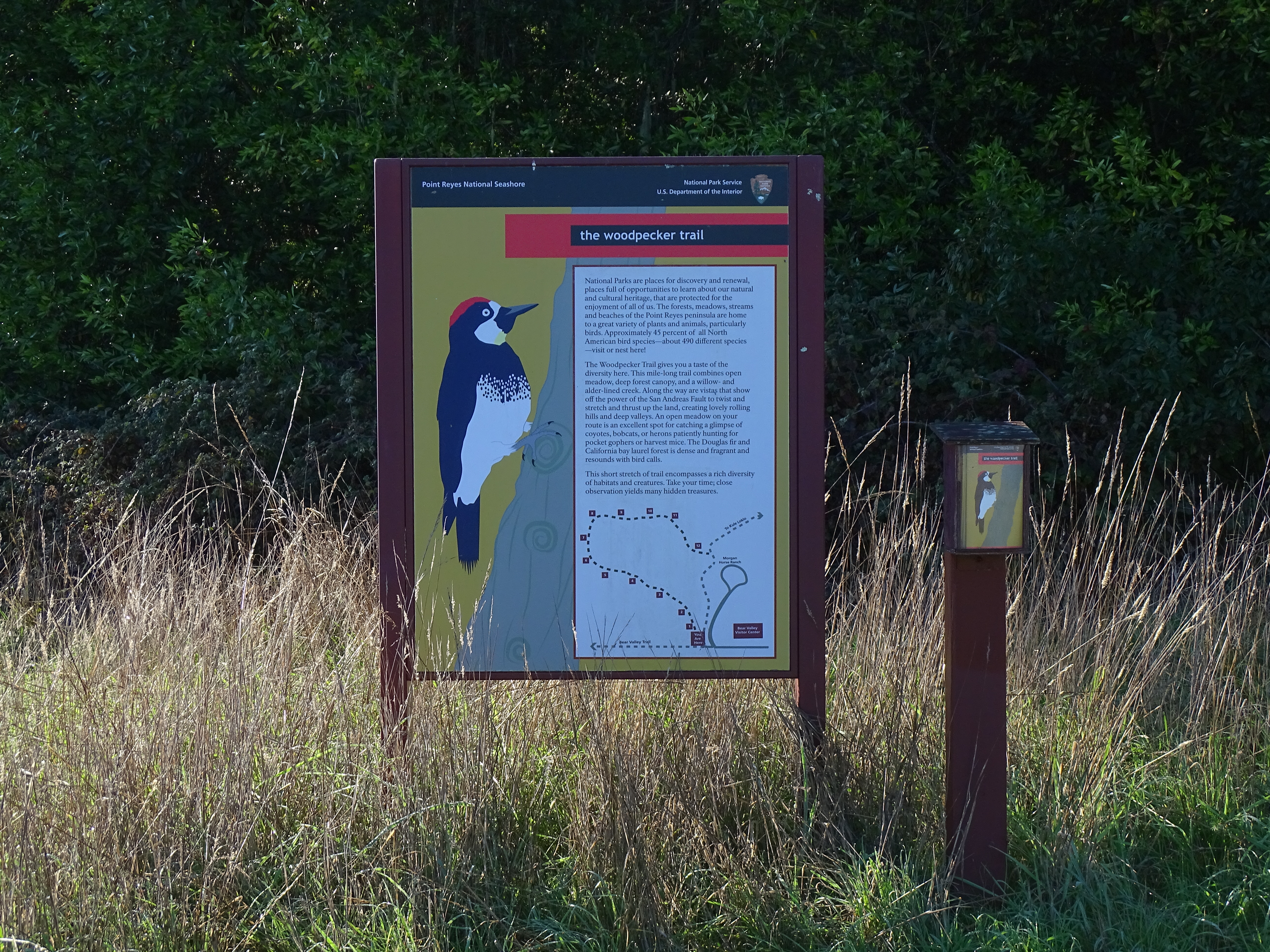
Distance: 0.9 mi. (1.5 km) roundtrip
The Woodpecker Nature Trail is a loop trail that explores the beautiful local forest and meadow ecosystems of Bear Valley. It will give you a taste of the rich biodiversity of this area. It combines open meadow, deep forest canopy, and a willow- and alder-lined creek. Along the way are vistas that show off the power of the San Andreas Fault to twist and stretch and thrust up the land creating lovely rolling hills and deep valleys. An open meadow on the route is an excellent spot for catching a glimpse of coyotes, bobcats, or herons patiently hunting for pocket gophers, deer mice, and meadow voles. The Douglas fir and California bay laurel forest is dense and fragrant and resounds with bird calls. An interpretive trail guide describing some of the plants and animals you may see can be obtained at the trailhead or at the Bear Valley Visitor Center .
The Woodpecker Trail begins at the Bear Valley Trailhead , at the south end of the Bear Valley Parking Lot. It exits the wooded section of the loop near the Morgan Horse Ranch .
Download the Bear Valley Area Map . (427 KB PDF)
Download the Woodpecker Trail Guide. (6,943 KB PDF)
Always check current conditions before heading out into the park and familiarize yourself with park regulations . Please practice Leave No Trace principles.
Visit the park's Hiking at Point Reyes National Seashore page for hiking tips and information about trail etiquette and safety.
Visit the park's Trail Advisories and Closures page for current information about closed trails, trails blocked by trees, or other temporary hazards or advisories.
Pets Pets are prohibited on the Woodpecker Trail. Visit the park's Pets page to learn where pets are welcome at Point Reyes National Seashore.
Accessibility The Woodpecker Nature Trail is a relatively narrow (less than two feet wide [0.6 meters wide]) with a dirt substrate. There is a change of about 100 feet (30 meters) in elevation along the route of the trail, including some stairs. Within the forested part of the hike, tree roots pose as another obstacle.