
River Mountains Loop
Trailhead Historic Railroad and River Mountain Loop Trailhead 1,567 ft Drive there
Hike the River Mountains Loop Trail 16.2 mi one way · the Park Service's write-up
4-8 Hours · dogs allowed · entrance fee applies · season Remember heat kills, be summer-smart and opt to hike when temperatures are cooler. If you do choose to utlize the trail during the summer, rangers recommend starting early in the morning or later in the evening when the weather is slightly cooler. Remember to pack enough water for your entire trip.
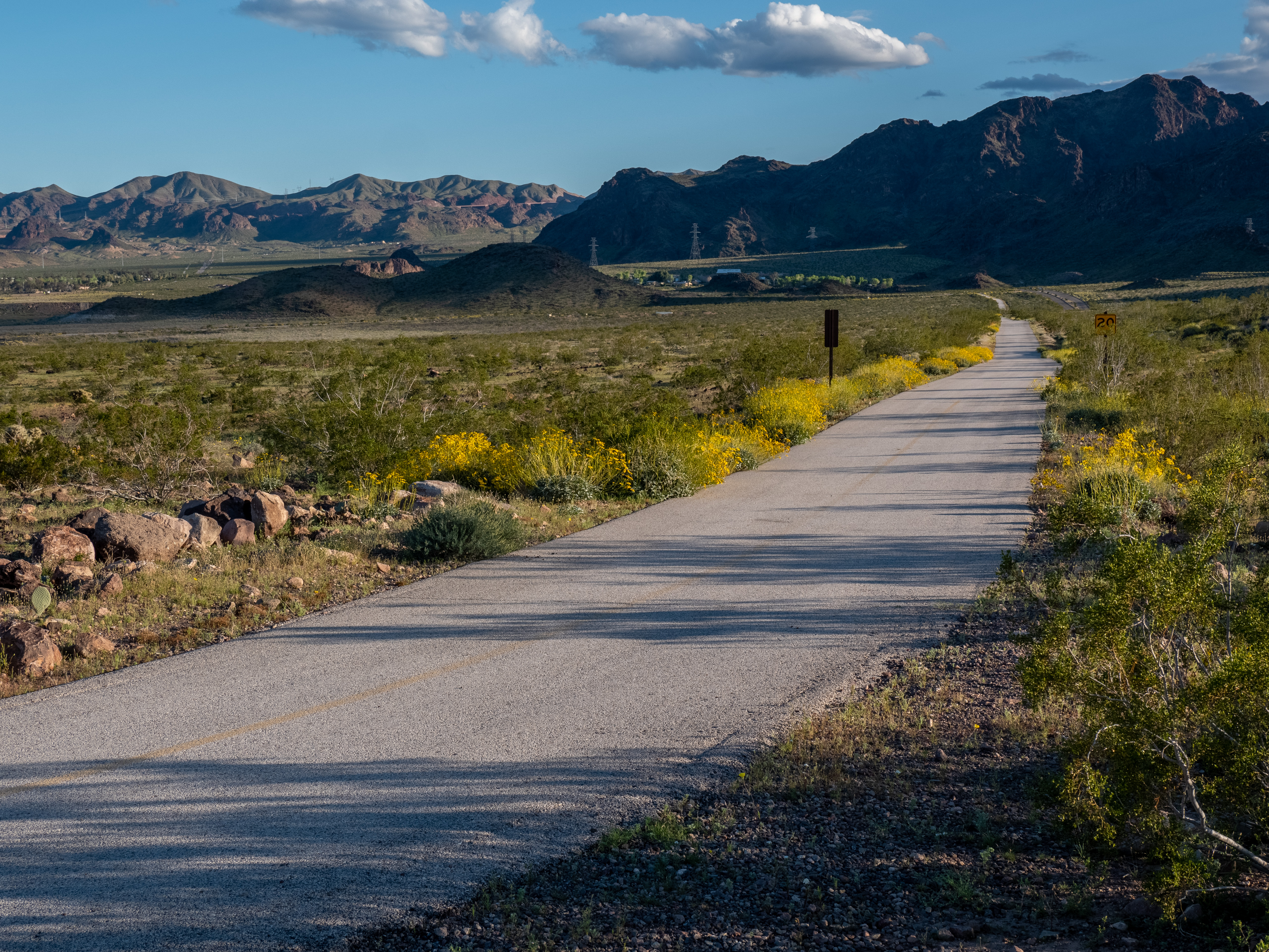
The River Mountains Loop Trail results from a multi-agency public-private partnership bringing together resources from government agencies, private landowners, and local businesses. This non-motorized, paved trail provides visitors with an extensive trail loop offering scenic views, plentiful wildlife, and the vast beauty only the Mojave Desert can offer.
The trail surrounds the River Mountains connecting Lake Mead National Recreation Area, Hoover Dam, Henderson, Boulder City, and the rest of the Las Vegas Valley.
Trail Information
Trailhead: DIRECTIONS
Parking: With multiple access points, there are several parking options along the length of the trail.
Distance: 16.2 miles one-way within Lake Mead National Recreation Area boundaries (The entire looped trail system, which includes portions that cut outside the Lake Mead NRA boundaries, is 34-miles).
Elevation Gain: 750 ft. elevation change
Difficulty: Easy
THIS TRAIL IS MAINTAINED
Services: Accessible pit toilets at the trailheads/along the trail, self-service bike repair stations, and trash/litter receptacles.
Accessibility This trail is 34 miles of a firm paved surface that is easy for bikes and wheelchairs to navigate. Several miles of the trail are level, but there is about 750 feet of elevation change throughout the trail.