
Tower Bridge Trail
Trailhead Tower Bridge Trailhead 7,993 ft Drive there
Tower Bridge 3 mi round trip · the Park Service's write-up
2-3 Hours · no dogs
Start Tower Bridge Trailhead
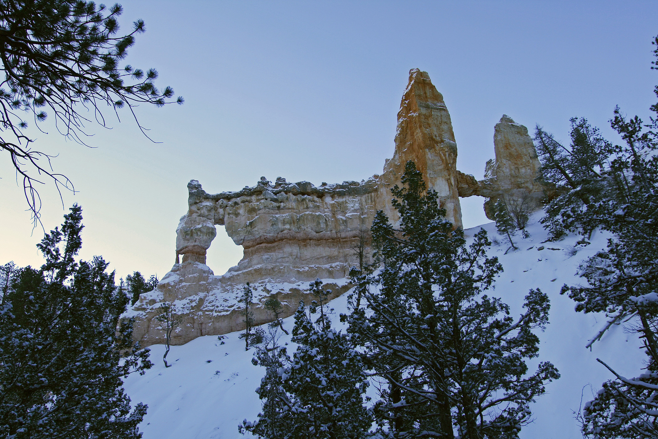
The Tower Bridge hike consists of the southern portion of the Fairyland Loop trail. This is an out-and-back trail that descends to a shady 1/4-mile spur trail leading to the Tower Bridge hoodoo. From there, hikers can return the way they came or continue to hike the entirety of the Fairyland Loop Trail.
Trailhead: North of Sunrise Point
Parking: Available at Sunrise Point (check when parking lots are busiest ). Oversized vehicles are not permitted in this parking area when the shuttle is in operation.
Distance: 3.0 miles (4.8 km) roundtrip
Approximate Time: 2-3 hours
Elevation Gain: 760 feet (232 meters)
Difficulty: Moderate (less than 1000 feet elevation gain, moderate length)
Services: Accessible restrooms and water-fill station available at the General Store near Sunrise Point (seasonally).
Shuttle Service: Yes.
Pets are not allowed on this trail. Service animals are allowed in national parks. What is a service animal?
Accessibility This is a backcountry trail with natural terrain and is not considered an accessible trail. Surface Type: Firm Native Sediment Total Ascent: 760 feet (232 meters) Length: 3.0 mi (4.8km) roundtrip Service animals are allowed in national parks. What is a service animal?