
Pueblo Loop Trail
ExhibitsPicnic areasVisitor centers
Along the way CCC Historic District Cottonwood Picnic Area Picnic Area Visitor Center
Trailheads Backcountry Access 6,075 ft Drive there · Main Loop Access 6,065 ft Drive there
Hike the Main Pueblo Loop Trail 1.4 mi loop · the Park Service's write-up
30-90 Minutes · no dogs · entrance fee applies
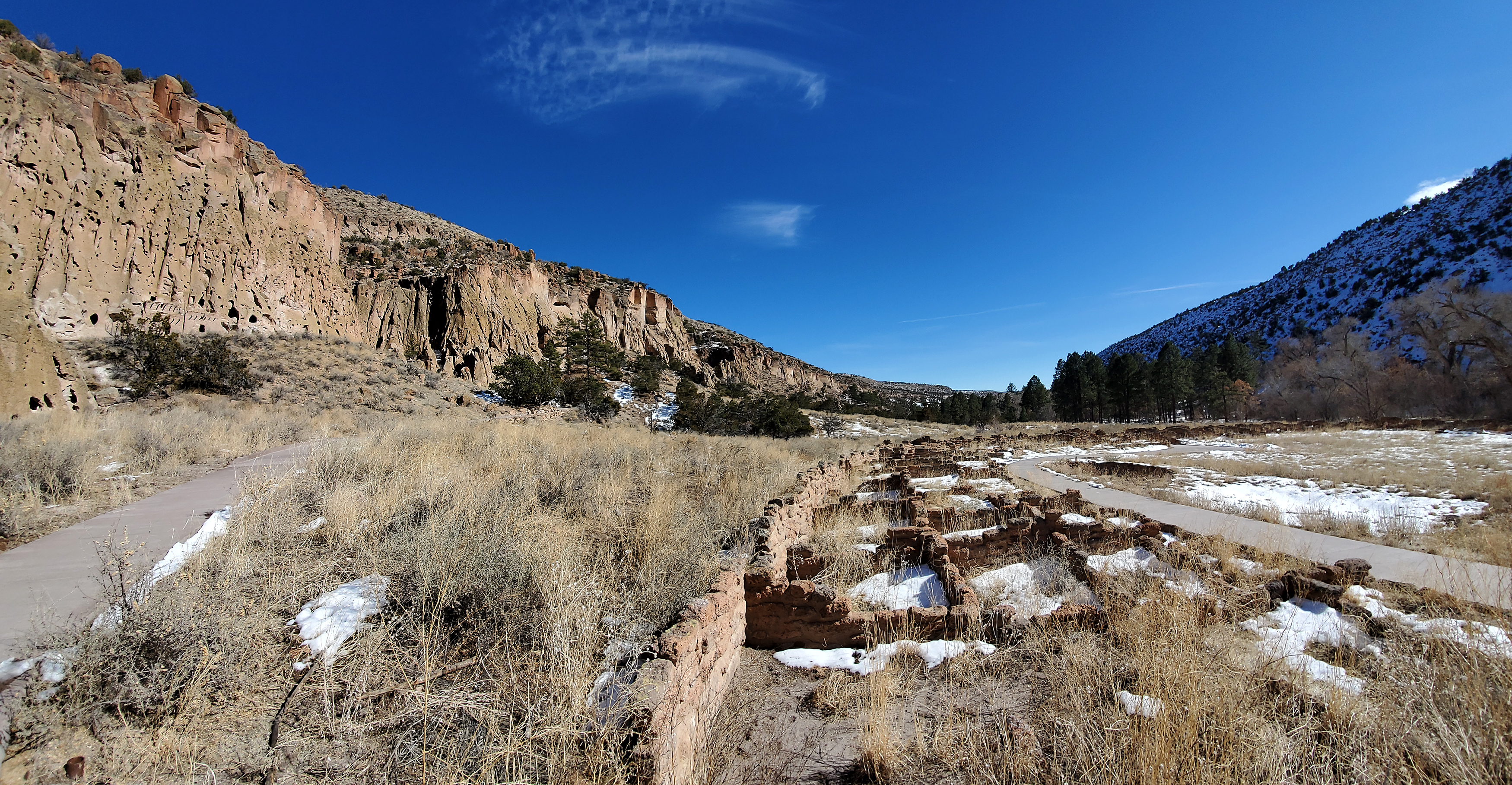
The Pueblo Loop Trail is a 1.4 mile loop trail through archeological sites. Most visitors spend an hour on this trail. Ladders along the trail allow visitors to climb into cavates (small human-carved alcoves). The Pueblo Loop Trail takes you past the Big Kiva , Tyuonyi , Talus House , and Long House .
Pick up a $2 trail guide at the Park Store to learn more about the sites along the trail through descriptions of 21 numbered stops.
The first section of this trail is flatter and may be travelled by wheelchairs and strollers; however, some areas exceed accessibility standards and some areas contain stairs/dropoffs. In winter, this is the only trail on which the snow is removed.
Accessibility Some sections of the Pueblo Loop Trail are flat and on paved surfaces. Although not entirely accessible to wheelchairs and strollers, many visitors enjoy this trail with these devises. The trail includes ladders, narrow spaces, and steps up and down. Ladders to the cavates are optional to hikers.