
Alcove House
Picnic areas
Along the way Cottonwood Picnic Area
Trailheads Backcountry Access 6,075 ft Drive there · Trailhead 6,057 ft Drive there
Alcove House 1 mi round trip · the Park Service's write-up
no dogs · entrance fee applies · season Sometimes closed in winter if ladders are icy.
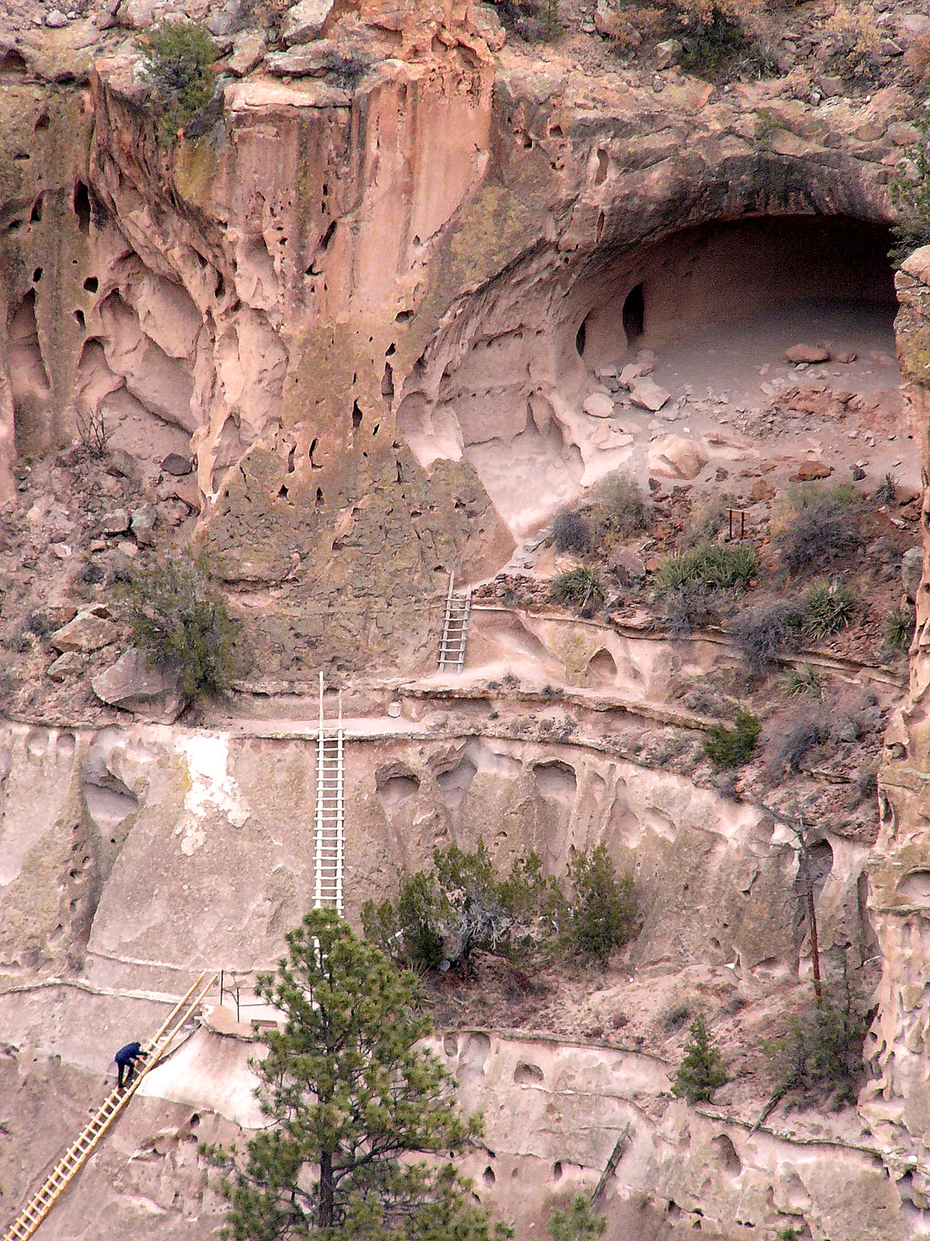
Half way through the Pueblo Loop Trail, a choice must be made; turn back toward the visitor center or continue another half mile each way (1 mile round trip) to Alcove House. Alcove House is located 140 feet above the floor of Frijoles Canyon. The elevated site is now reached by 4 wooden ladders and a number of stone stairs.
CLOSURES
Alcove house may close in the winter due to snow and ice. Occasionally it will close for routine maintenance or resource management work. A sign at the base of the stairs will indicate if Alcove House is closed. Check at the visitor center for details
Accessibility The Alcove House Trail is mostly composed of packed dirt and gravel. There are footbridges to cross that are not ideal for wheelchairs and strollers. The ladders are steep and only recommended for people in good physical shape. It may be extremely difficult for service animals to traverse Alcove House's ladders.