
Long Trail
Picnic areas
Along the way Cottonwood Picnic Area
Trailhead Backcountry Access 6,075 ft Drive there
Long Trails 12 mi round trip · the Park Service's write-up
4-10 Hours · no dogs · entrance fee applies · season Winter hikes may include snowy or icy trails, while hikes in the summer will be hot and occasionally include thunderstorms.
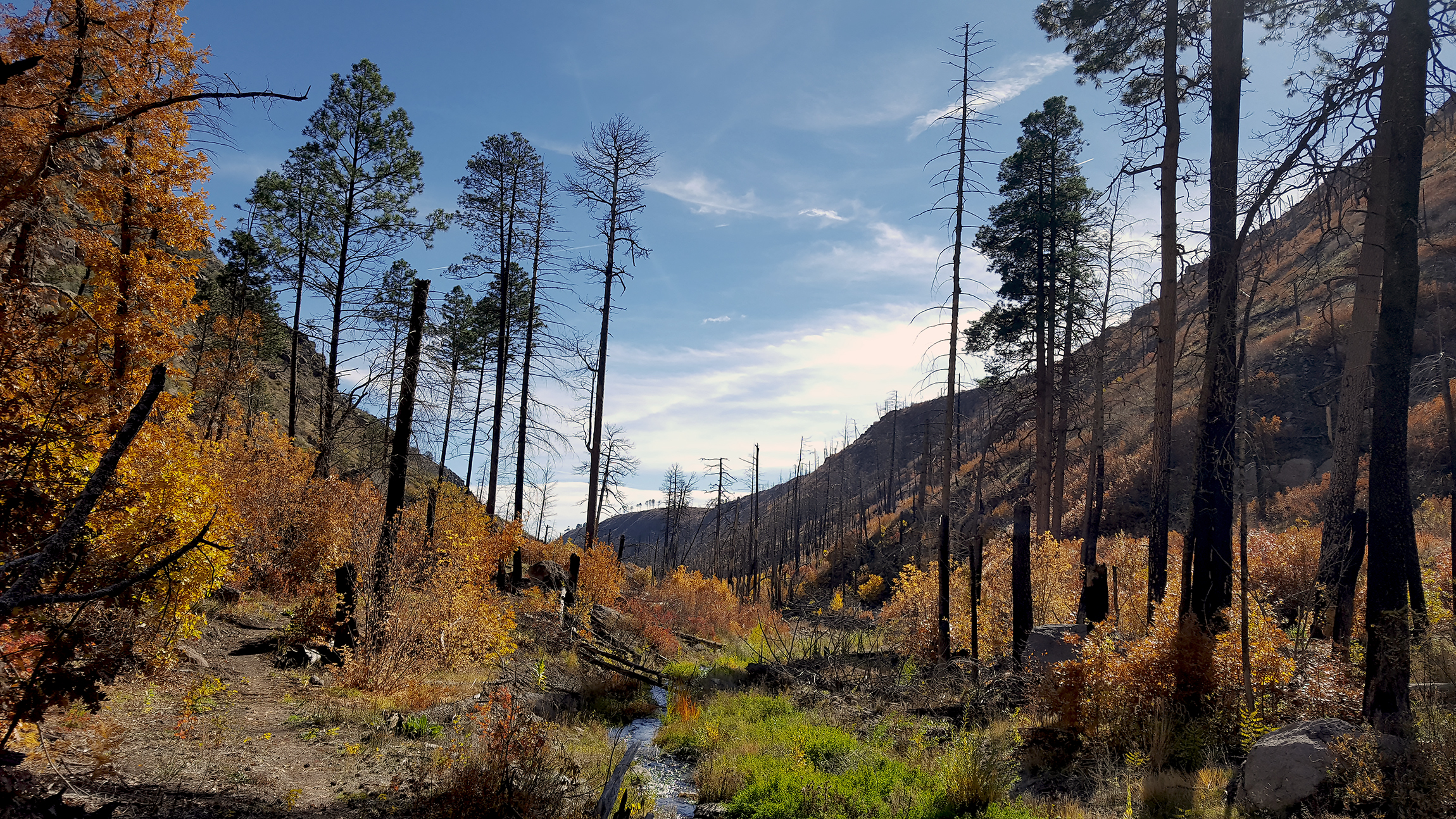
Within Bandelier's 33,000 acres there are over 70 miles of trails. Some trails are short easy loops while others are longer and more difficult. Longer backcountry trails often involve hiking more than 12 miles round-trip. Backcountry permits are required and are available at the visitor center for overnight stays in the park's backcountry. Water is not readily available on most backcountry trails. Please check at the visitor center for current conditions before hiking in the backcountry.
Pets, bicycles, and pack animals are not permitted on any park trails.
Frijoles Rim and Canyon Trail
Yapahsi Pueblo
Painted Cave
Accessibility Most backcountry trails are strenuous to hike. Backcountry hikers can expect uneven terrain, elevation gain/loss, climbing, scrambling, and some route-finding. Hiking conditoins and legnths can be difficult for those who are not physically fit or have any physical limitations. Pets are not permitted in the backcountry, however, certified service animals are.