
Sand Bench Trail
Sand Bench the Park Service's write-up
1-4 Hours · no dogs · season Seasonal commercial horse tours are available from March to October. These tours are offered through a <a href="https://www.canyonrides.com/horseback-riding-zion-national-park/">concessioner</a>.
Start Emerald Pools Trailhead
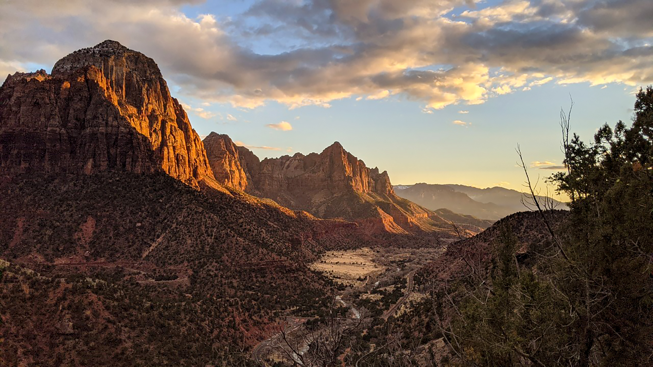
The Sand Bench Trail travels atop the remains of an ancient rockfall. This trail leads hikers along the Virgin River and then ascends a landslide that dammed the Virgin River 8,000 years ago and created a lake that extended to Angels Landing. This trail is a commercial horse trail from March to October, and it receives little shade in the hot, summer sun. Winter travel is possible, but watch for patches of ice.
Water and restrooms are available at The Zion Lodge .
Accessibility From Court of the Patriarchs to Zion Lodge Length (one way) | 1.5 (2.4 km) Elevation | Gain: 206.7 ft (63.0 m) | Loss: 235.2 ft (71.7 m) Grade | Typical: 5.5% | Maximum: 32.3% | 22.7% of the trail is at an 8.3% or higher grade. Cross Slope | Typical: 3.8% | Maximum: 23.1% Tread Width | Typical: 60 in (153.5 cm) | Minimum: 15 in (38.1 cm) Surface | 84.3% of the trail is firm soil, 10.3% is very soft sand, 3.9% is soft sand, and 1.5% is hard rock. Obstructions | Bridge 45 in (114.3 cm) wide | Steps up to 9 in (22.9 cm) tall Loop Trail from Court of the Patriarchs Length (round-trip) | 3.9 mi (6.3 km) Elevation | Gain: 1037.6 ft (316.2 m) | Loss: 748 ft (228.0 m) Grade | Typical: 8.7% | Maximum: 36% | 35.6% of the trail is at a 10% or higher grade. Cross Slope | Typical: 3.6% | Maximum: 22.8% Tread Width | Typical: 46 in (116.9 cm) | Minimum: 6 in (15.2 cm) Surface | 7.7% of the trail is hard rock, 19.3% is firm soil, 6.4% is soft soil, and 66.6% is very soft sand. Obstructions | Bridge 45 in (114.3 cm) wide | Creek crossing: Water level changes seasonally. Crossing through shallow water may be required. | Steps up to 21 in (53.3 cm) tall, with 0 in remaining tread Last assessed on March 19, 2025. Obstructions less than 7 in (17.8 cm) tall, or outside the tread area of 20 in (50.8 cm) wide by 96 in (243.8 cm) high, were not reported.