
Pa'rus Trail
Bridges
Along the way Bridge
Pa'rus Trail the Park Service's write-up
30-120 Minutes · dogs allowed
Start Pa'rus Trailhead
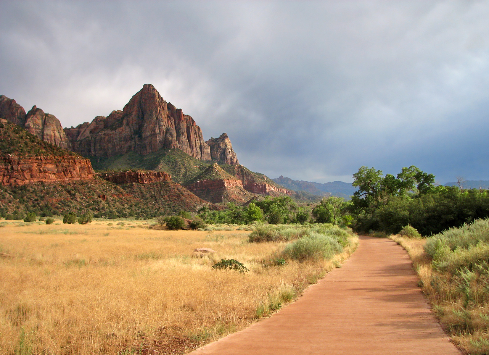
"Pa’rus" is Paiute for “bubbling water.” The Pa’rus Trail follows the Virgin River and has some of the best views of the Watchman. The paved trail connects the Zion Canyon Visitor Center and Canyon Junction. It is accessible for wheelchairs, pets on leashes, and bicycles. Trailside exhibits cover a variety of subjects, including plant and animal life along the river, geology, and human history.
The Pa'rus makes a good location for watching the sunset, stargazing, and astrophotography.
Access this trail from the Museum (Shuttle Stop #2) by using a short connector trail that is not designed for wheelchairs and not approved for bikes or pets.
Restrooms and water filling stations are available at the Visitor Center.
Accessibility Length (one way) | 1.6 mi (2.5 km) Elevation | Gain: 151.7 ft (46.3 m) | Loss: 62.7 ft (19.12 m) Grade | Typical: 2.6% | Maximum: 11.4% | 1.2% of the trail is at an 8.3% or higher grade. Cross Slope | Typical: 2.1% | Maximum: 8.8% Tread Width | Typical: 120 in (304.7 cm) | Minimum: 96 in (243.8 cm) Surface | 93.6% of the trail is paved and 6.4% is hard wood decking. Obstructions | Bridges (5) 120 in (304.8 cm) wide and 416 - 1744 in (1056.6 - 4429.8 cm) long, with gaps in decking up to 3 in (2.5 cm) wide | Post in trail leaving 60 in (152.4 cm) of remaining tread | Tripping hazards 1 - 2 in (2.5 - 5 cm) tall, with 0 in of remaining tread Last assessed on January 13, 2025. Obstructions less than 0.5 in tall, or outside the tread area of 120 in (304.8 cm) wide by 96 in (243.8 cm), high were not reported.