
Lower Emerald Pools Trail
Bridges
Along the way Bridge
Upper Emerald Pools Trail the Park Service's write-up
1-2 Hours · no dogs
Start Emerald Pools Trailhead
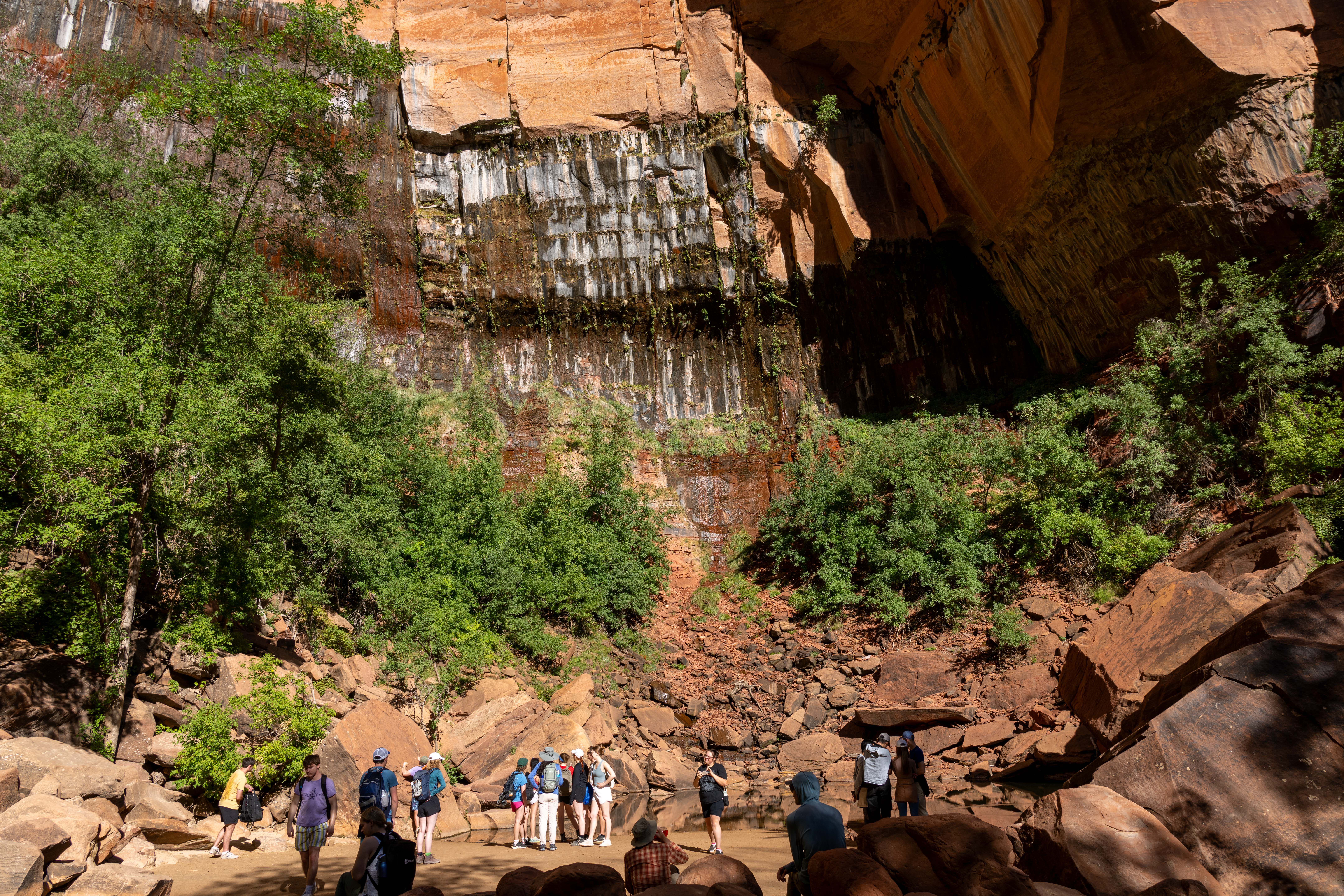
Upper Emerald Pools Trail is a moderate trail that can be accessed via the Kayenta Trail, Lower Emerald Pools Trail, or Middle Emerald Pools Trail. Climb up stone steps to a sandy path that leads through pinyon-juniper woodlands to the base of towering canyon walls which boast majestic, seasonal waterfalls. Enjoy views of canyon landmarks such as Lady Mountain and The Great White Throne along the way. The trail ends at the sandy shore of Upper Emerald Pool. The pool is fragile and an essential water source for wildlife. Do not go into the water.
Connects to the other Emerald Pools trails and the Kayenta Trail.
Restrooms and water filling stations are available at Zion Lodge and The Grotto.
Accessibility Length (one way) | 0.3 mi (0.4 km) Elevation | Gain: 75.8 ft (23.11 m) | Loss: 28.9 ft (8.81 m) Grade | Typical: 7.5% | Maximum: 37% | 25.6% of the trail is at a 10% or higher grade. Cross Slope | Typical: 5.2% | Maximum: 20.6% Tread Width | Typical: 59 in (149.0 cm) | Minimum: 12 in (30.5 cm) Surface | 45.1% of trail is hard rock, 35.8% is soft sand, and 19.1% is firm soil. Obstructions | Overhanging rock 11.3 ft (3.4 m) long with 30 in (76.2 cm) of remaining tread outside of rock zone. | Staircases with steps up to 30 in (76.2 cm) tall. Last assessed on March 20, 2025. Obstructions less than 12 in (30.5 cm) tall, or outside the tread area of 12 in (30.5 cm) wide by 96 in (243.8 cm) high, were not reported.