0.6 mi of trail, end to end · about 90 ft of climbing · 5,261 ft–5,340 ft · hiking
La Verkin Creek Trail to Kolob Arch the Park Service's write-up
7-9 Hours · no dogs
Start Lee Pass Trailhead
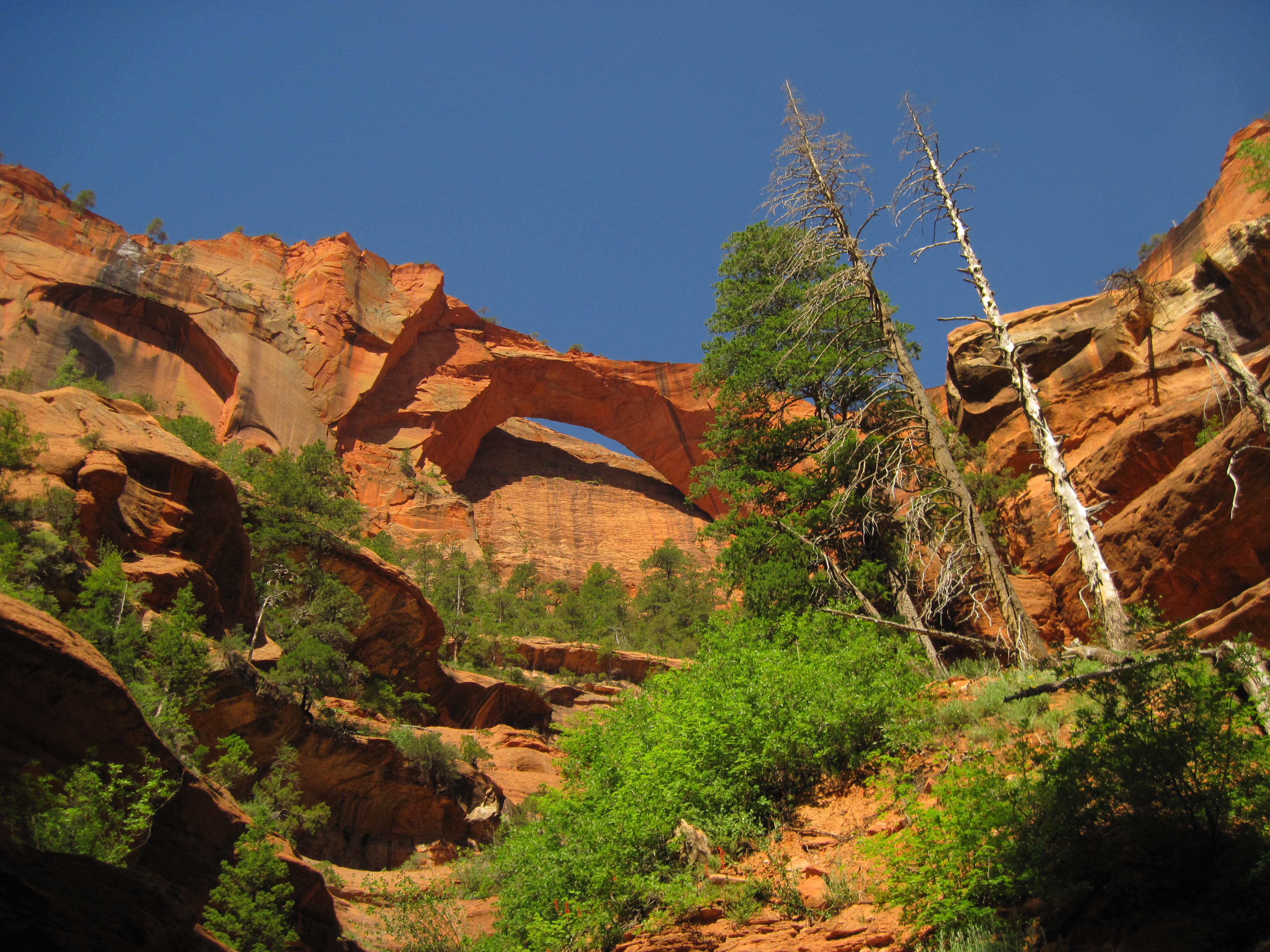
The Kolob Arch is one of the world's largest natural arches. Photo: NPS/Rendall Seely
The La Verkin Creek Trail to Kolob Arch allows hikers outstanding opportunities for solitude in a primitive area of Zion Wilderness. The trail begins at Lee Pass with stunning views of the Kolob Canyons as it crosses Timber Creek and continues to descend toward La Verkin Creek. After seven miles, a spur trail leads hikers to a viewpoint where they can see Kolob Arch. With a span of 287 feet and a thickness of 75 feet, Kolob Arch is one of the world's largest natural arches.
Pets Pets are not permitted on any trails within Kolob Canyons.
Accessibility Strenuous trail with 1037ft / 316m of elevation change over 14mi / 22.5km. Rocky, sandy, uneven terrain with water crossings.
The lines are the National Park Service's public trails layer, the trailheads and the waterfalls, views, peaks and historic places along them the Service's public points of interest, read 2026-10-16 and simplified for the map; the length is the line's, end to end. The write-ups are the Service's own "things to do" text, unedited. Heights come from USGS 3DEP through Terrain Tiles on AWS (Mapzen/Tilezen), read along each line and rounded; a short trail on steep ground can be off by a few tens of feet. Closures change: check the park's own site before you go.