
Canyon Overlook Trail
Views
Along the way Canyon Overlook Trail
Trailhead Canyon Overlook 5,103 ft Drive there
Canyon Overlook the Park Service's write-up
1-2 Hours · no dogs
Start Canyon Overlook Trailhead
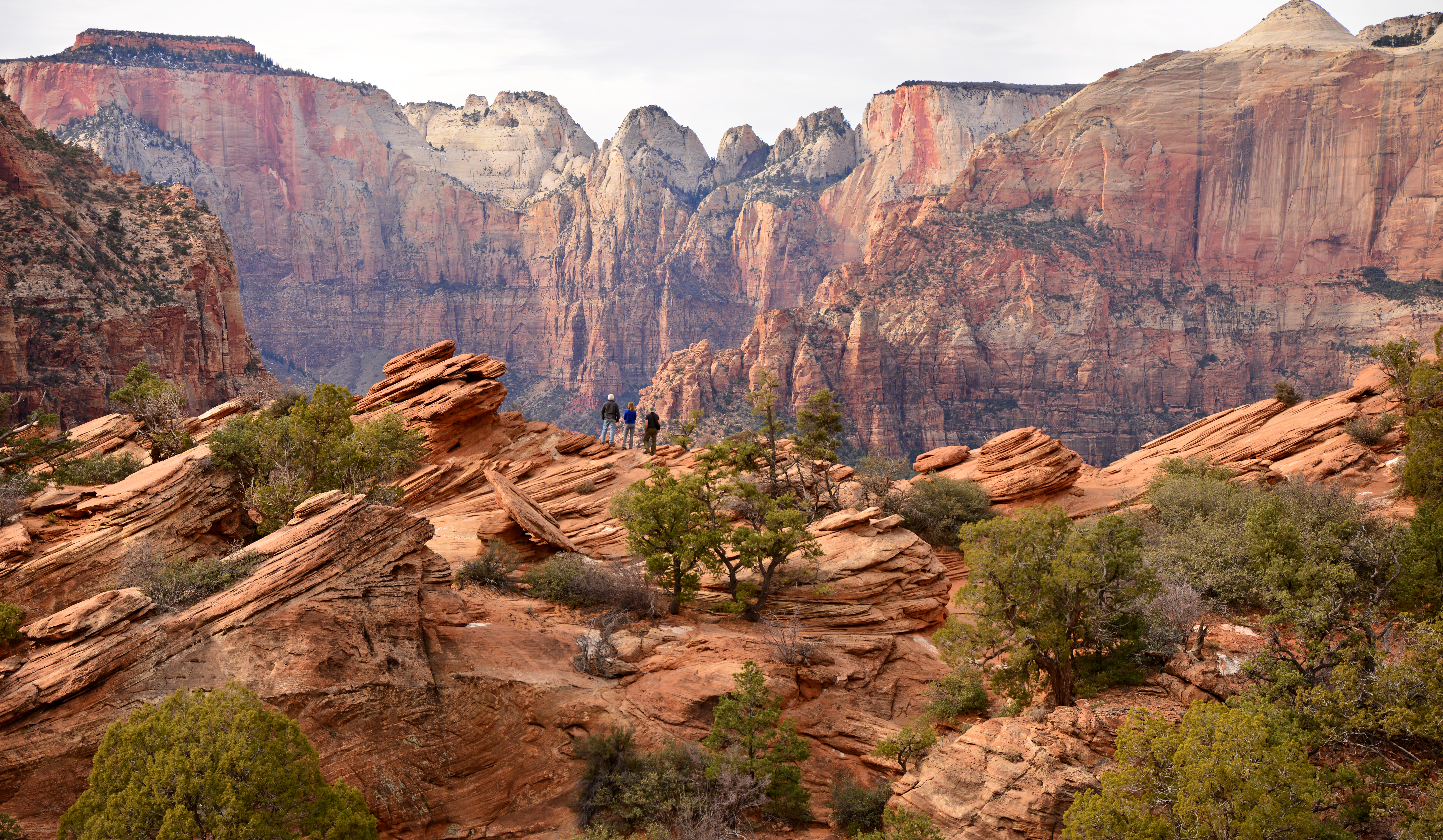
Canyon Overlook Trail is a moderate, 1 mi (1.6 km) trail on the East Side of Zion. The path begins with a series of sandstone steps with a metal handrail leading visitors over rocky terrain above a dark slot canyon. Near the end of the trail, the view opens up to an expanse of red and cream-colored slickrock. The end of the trail is marked by a fenced cliff edge facing the main Zion Canyon, with excellent views of the Towers of the Virgin. Keep an eye out for bighorn sheep along the trail.
Parking is extremely limited, be prepared to try mulitple times. Pit toilets are available in the parking area.
Accessibility Lengt h (one way) | 0.5 mi (0.8 km) Elevation | Gain: 154.2 ft (47.0 m) | Loss: 48.5 ft (14.78 m) Grade | Typical: 7.6% | Maximum: 50.4% | 23.9% of the trail is at a 10% or higher grade. Cross Slope | Typical: 4.9% | Maximum: 36.4% Tread Width | Typical: 48 in (122.4 cm) | Minimum: 12 in (30.5 cm) Surface | 73.8% of the trail is hard rock, 18.0% is firm soil, and 8.2% is soft sand Obstructions | 118.9 ft (36.2 m) of o verhanging rocks with an a verage vertical clearance of 7ft (2.1 m), minimum vertical clearance of 4 ft (1.2 m), and 30 in (76.2 cm) of remaining tread. | Staircases with steps up to 18 in (45.7 cm) tall and 0 in of remaining tread | Boulders up to 12 in (30.5 cm) tall and 0 in of remaining tread Last assessed February 20, 2025. Obstructions less than 4 in (10.2 cm) or outside of the tread area 36 in (91.4 cm) wide by 96 in (243.8 cm) high were not reported.