
Angels Landing Trail
Angels Landing the Park Service's write-up
1-2 Hours · no dogs · entrance fee applies · reservation required
Start Kayenta & West Rim Trailhead
On and after April 1, 2022 hikers continuing to Angels Landing from Scout Lookout are required to have a permit , obtained on recreation.gov.
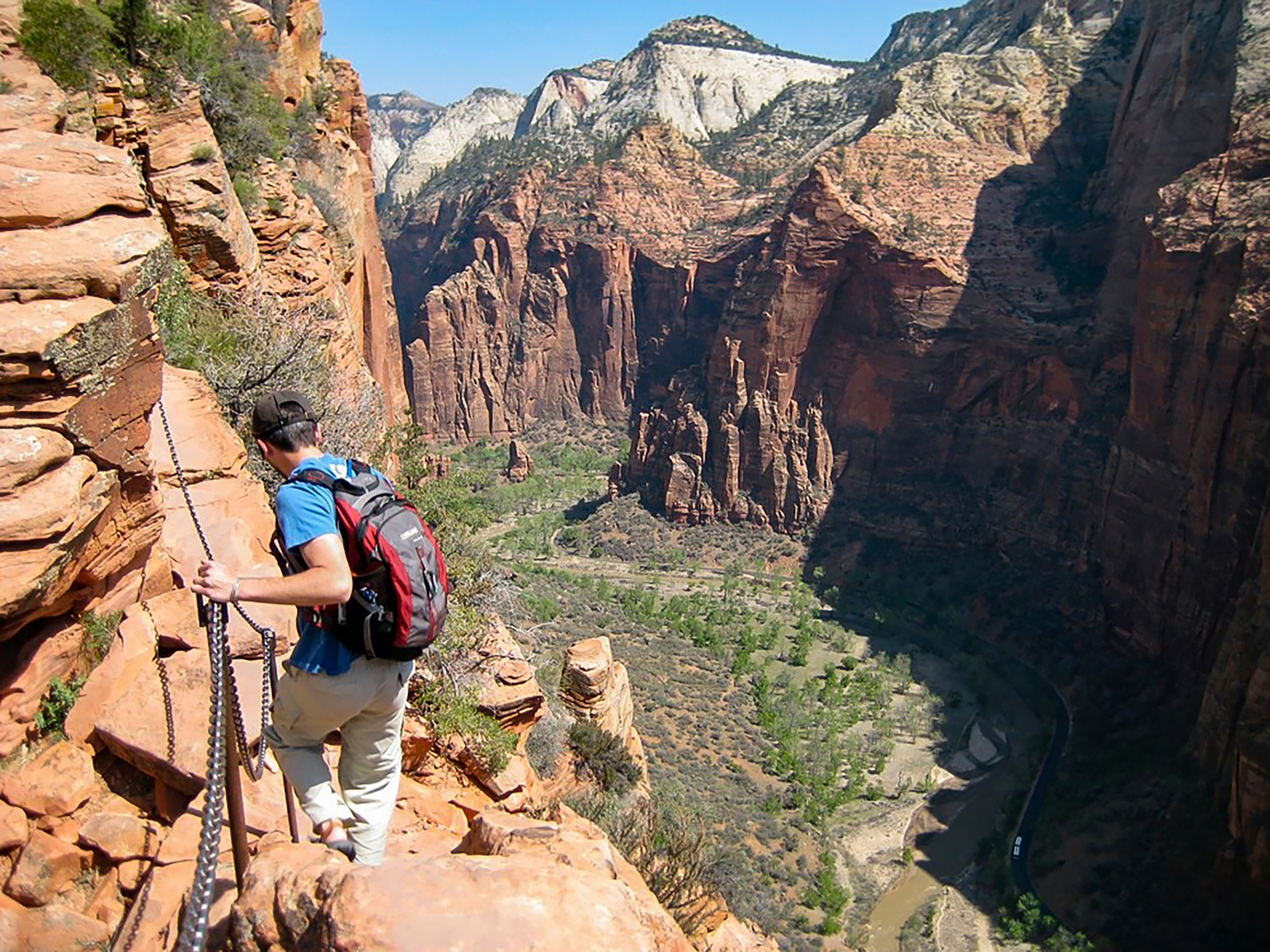
The strenuous, challenging trail follows a steep, narrow ridge with uneven steps cut into the rock and chains anchored intermittently along the route. You must navigate a trail only a few feet wide in some areas, with exposed edges and sheer drop-offs of as much as 1,000 feet on each side. Please watch your footing and exercise extreme caution at all times. Be ready to yield to other hikers, as the trail is only wide enough for one person in many places. At the end of the hike, the trail widens slightly and there are areas to rest, snack, and soak in the spectacular views of Zion Canyon.
Restrooms are available at Scout Lookout and The Grotto. Water filling stations are also available at The Grotto.
Accessibility Trail is unpaved, rocky, and less than 3 ft (1 m) wide in many sections. Chains act as handrails for multiple sections, with long drop-offs. Hiking traffic moves in both directions in limited space.