
Yellowstone River Trail
Backcountry camps
Along the way 1Y1 1Y2
Blacktail Deer Creek to Yellowstone River Trail the Park Service's write-up
4-5 Hours · no dogs · Spring, Summer, Fall
Start East of Mammoth Hot Springs
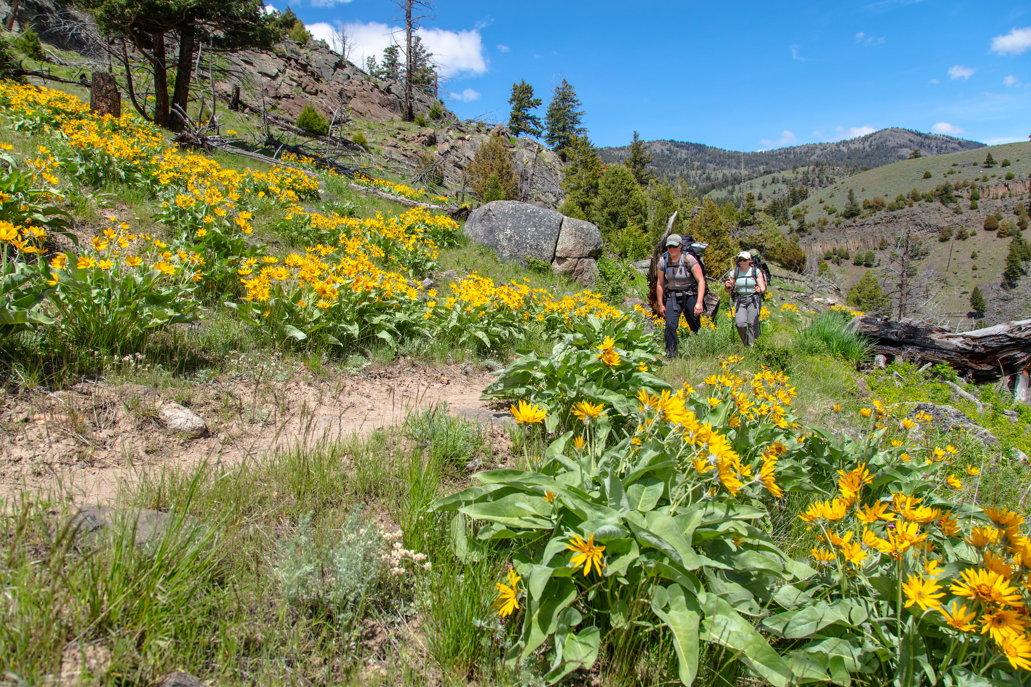
Follow Blacktail Deer Creek as it descends 1,100 feet (335 m) through rolling, grassy hills and Douglas-fir forest to a suspension bridge over the Yellowstone River. Return the same way.
Safety notes: Trail frequented by horseback-riders.
Trailhead: 7 miles (11.3 km) east of Mammoth on the Grand Loop Road.
Grand Canyon of the Yellowstone the Park Service's write-up
1-2 Hours · no dogs · season Parts of the Grand Canyon are accessible via snowmobile and guided snow coach trips in the winter.
Start Canyon Village
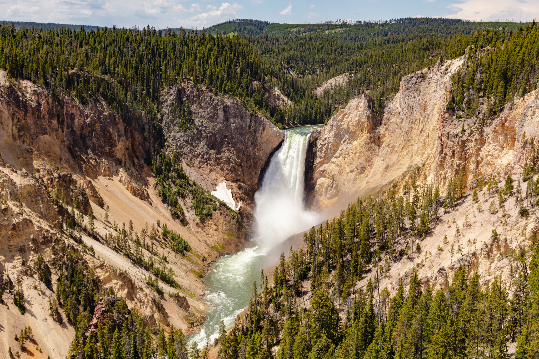
The Grand Canyon of the Yellowstone River expresses the park's complex geologic history in dramatic colors and shapes. Puffs of steam mark hydrothermal features in the canyon's walls. The Upper and Lower Falls of the Yellowstone River add to the grandeur of the unique natural treasure.
Experience the canyon from a variety of overlooks, at different times of day, and at different seasons. A number of trails and walkways wind along the rims and down partway into the canyon.
Check out the hike details and accessibility information at the bottom of this page.
Pets Pets are only allowed in the parking areas.
Accessibility Most of the trails along both rims have step grades or stairs. Because of the amount of vertical descent (and returning ascent), these trails are not recommended for visitors with heart, lungs, or other health conditions: Brink of the Lower Falls Trail Uncle Tom's Point Trail Red Rock Points Trail These locations meet wheelchair accessibility standards: Sidewalk along the Brink of the Lower Falls parking lot Sidewalk from Lookout Point parking lot to Grand View parking lot Sidewalk out to the second viewing area at Artist Point
Hellroaring Trail the Park Service's write-up
3-5 Hours · no dogs · Summer, Fall
Start Tower Junction
Trail begins with a steep descent to the Yellowstone River Suspension Bridge, then crosses a sagebrush plateau, and drops down to Hellroaring Creek. Both the Yellowstone River and Hellroaring Creek are popular fishing areas.
Safety notes: Beyond the bridge are trail junctions for other major backcountry trails. Pay attention; stay on the Hellroaring Trail. Hellroaring is a major backcountry trail. This day hike stops at the confluence of Hellroaring creek and the Yellowstone River. Limited shade along this trail. Bring water.
Trailheads: Short dirt road leads to a parking area at the trailhead 3.5 miles (5.6 km) west of Tower Junction.
Yellowstone River Picnic Area Trail the Park Service's write-up
2-3 Hours · no dogs · Summer, Fall
Start Tower Junction
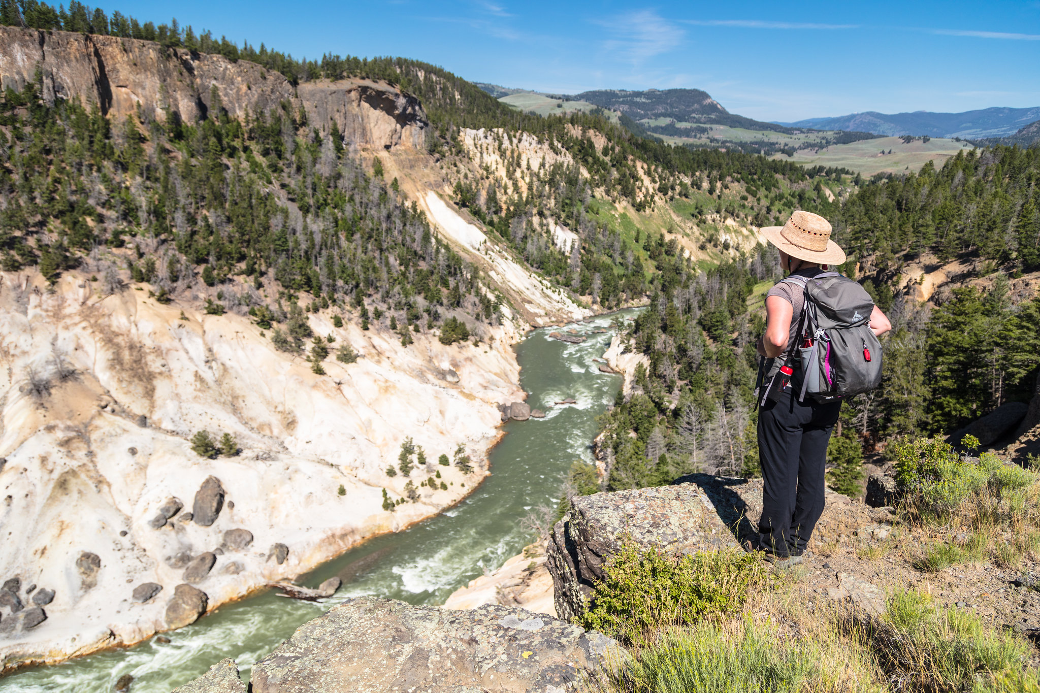
Trail climbs steeply to the east rim of the Narrows of the Yellowstone and then follows the rim. Look for peregrine falcons and osprey, which nest in the canyon, and bighorn sheep along the rim. View the Overhanging Cliff area, the towers of Tower Fall (the fall is not visible), basalt columns, and the historic Bannock Ford.
Safety notes: At the vista overlooking the Tower Falls area of the Yellowstone River, return the way you came or continue down the trail as it heads northeast; at the trail junction turn left and descend to the road. Walk west along the road for 0.7 mile (1.2 km) to the Yellowstone River Picnic Area.
Trailheads: Park at the Yellowstone River Picnic area, 1.25 miles (2 km) northeast of Tower Junction on the Northeast Entrance Road.
Accessibility The start of the trail ascends a rather steep hillside. The entire trail is single-wide, bare ground with frequent rocks and roots along the way. After ascending the hill, the trail follows a ridge with steep drop-offs.