0.3 mi of trail, end to end · about 50 ft of climbing · 6,612 ft–6,660 ft · earth surface · trail class Minimally Developed · hiking
TrailheadWraith Falls Trailhead 6,608 ft Drive there
Wraith Falls Trail the Park Service's write-up
30-60 Minutes · no dogs
Start Mammoth Hot Springs
Photo: NPS / Addy Falgoust
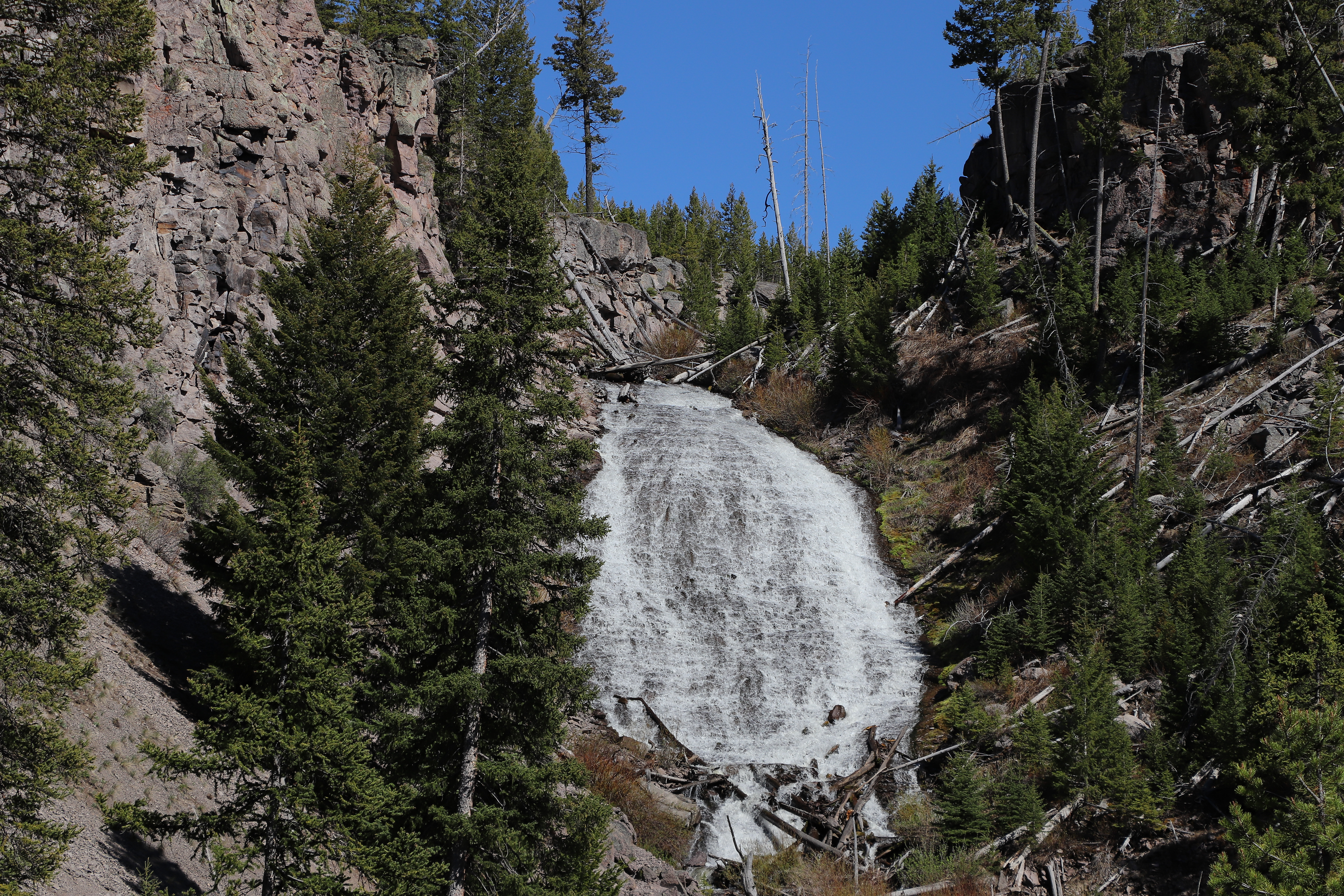
This short, easy trail passes through sagebrush meadows, marshland, and mixed conifer forest to the base of 79-foot (24 m) Wraith Falls on Lupine Creek.
Trailhead: The trail begins at a pullout ½-mile (0.8 km) east of Lava Creek Picnic Area on the Grand Loop Road.
Accessibility Wraith Falls trail is not accessible due to topography. The last 245’ of the trail is steep and rocky, with steps.
The lines are the National Park Service's public trails layer, the trailheads and the waterfalls, views, peaks and historic places along them the Service's public points of interest, read 2026-10-16 and simplified for the map; the length is the line's, end to end. The write-ups are the Service's own "things to do" text, unedited. Heights come from USGS 3DEP through Terrain Tiles on AWS (Mapzen/Tilezen), read along each line and rounded; a short trail on steep ground can be off by a few tens of feet. Closures change: check the park's own site before you go.