0.9 mi of trail, end to end · about 30 ft of climbing · 7,738 ft–7,791 ft · wood surface · trail class Developed · hiking
TrailheadWest Thumb Geyser Basin Trailhead 7,791 ft Drive there
West Thumb Geyser Basin Trail the Park Service's write-up
30-60 Minutes · no dogs · Summer, Fall
Start West Thumb Geyser Basin
Photo: NPS / Diane Renkin
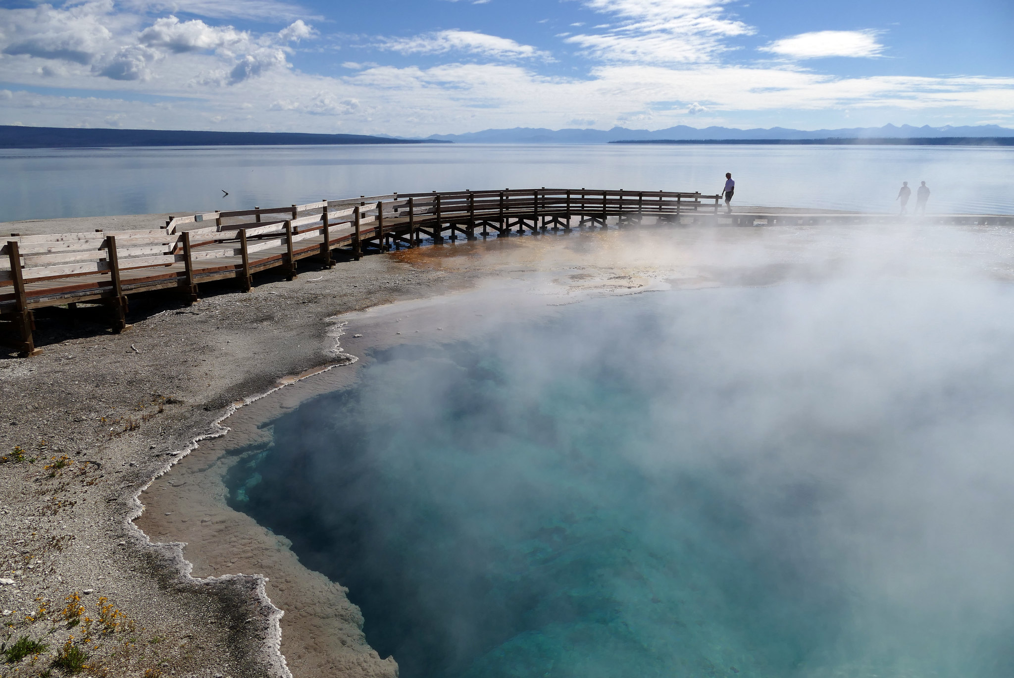
Stroll through a geyser basin of colorful hot springs and dormant lakeshore geysers situated on the scenic shores of Yellowstone Lake.
Safety notes: Be sure to stay on the boardwalks at all times.
Trailheads: West Thumb Geyser Basin Parking Area.
Accessibility West Thumb Geyser Basin overlooks Yellowstone Lake. The boardwalk trail has two loops. The outer loop is a ½-mile, and the inner loop is a ¼-mile in length. There is designated accessible parking.
The lines are the National Park Service's public trails layer, the trailheads and the waterfalls, views, peaks and historic places along them the Service's public points of interest, read 2026-10-16 and simplified for the map; the length is the line's, end to end. The write-ups are the Service's own "things to do" text, unedited. Heights come from USGS 3DEP through Terrain Tiles on AWS (Mapzen/Tilezen), read along each line and rounded; a short trail on steep ground can be off by a few tens of feet. Closures change: check the park's own site before you go.