
Tower Falls Trail
Trailhead Tower Falls Trailhead 6,451 ft Drive there
Yellowstone River Picnic Area Trail the Park Service's write-up
2-3 Hours · no dogs · Summer, Fall
Start Tower Junction
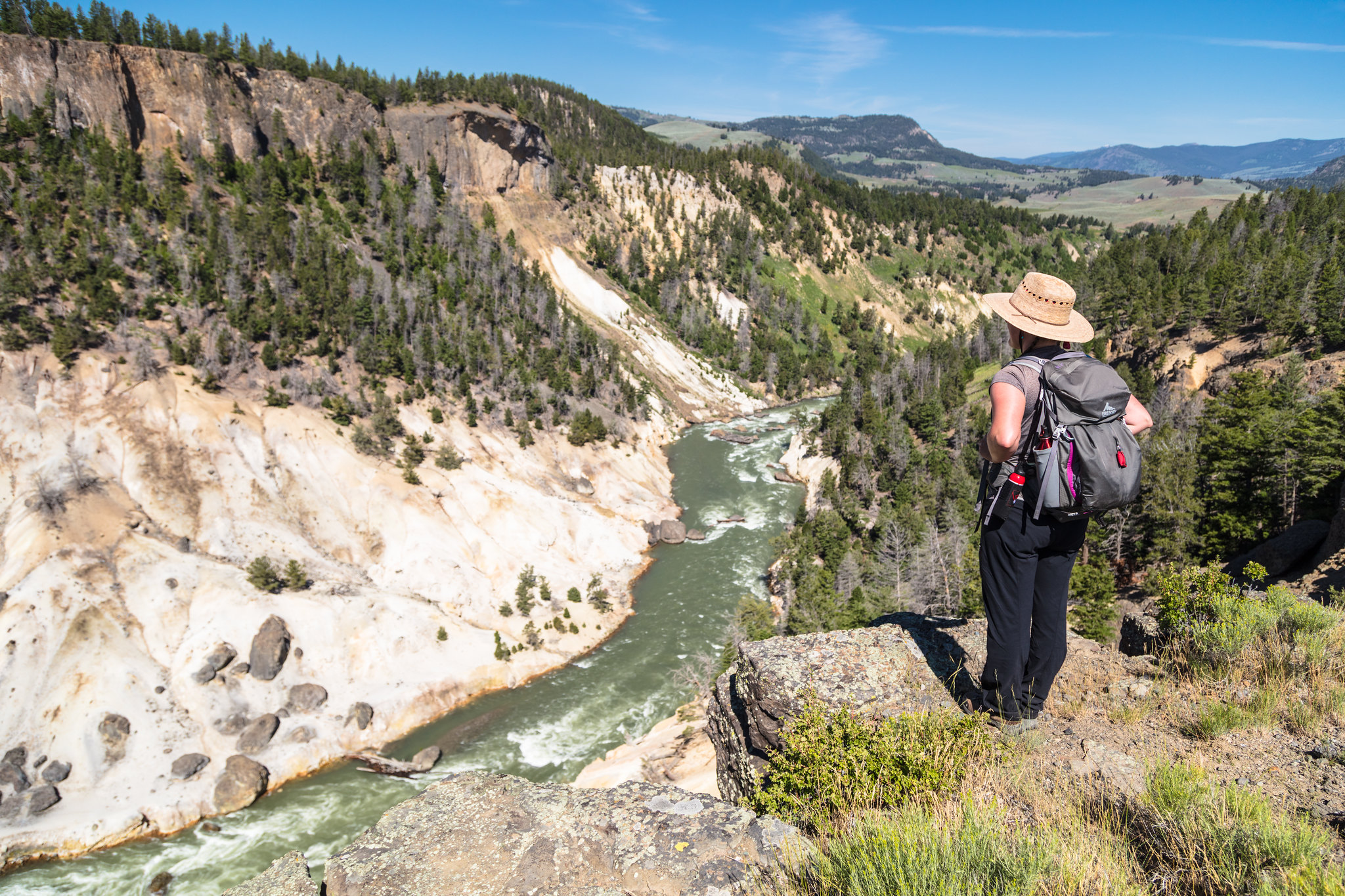
Trail climbs steeply to the east rim of the Narrows of the Yellowstone and then follows the rim. Look for peregrine falcons and osprey, which nest in the canyon, and bighorn sheep along the rim. View the Overhanging Cliff area, the towers of Tower Fall (the fall is not visible), basalt columns, and the historic Bannock Ford.
Safety notes: At the vista overlooking the Tower Falls area of the Yellowstone River, return the way you came or continue down the trail as it heads northeast; at the trail junction turn left and descend to the road. Walk west along the road for 0.7 mile (1.2 km) to the Yellowstone River Picnic Area.
Trailheads: Park at the Yellowstone River Picnic area, 1.25 miles (2 km) northeast of Tower Junction on the Northeast Entrance Road.
Accessibility The start of the trail ascends a rather steep hillside. The entire trail is single-wide, bare ground with frequent rocks and roots along the way. After ascending the hill, the trail follows a ridge with steep drop-offs.