
Specimen Ridge Trail
Trailheads Soda Butte Trailhead 6,647 ft Drive there · Specimen Ridge Trailhead 6,250 ft Drive there
Specimen Ridge Day Hike Trail the Park Service's write-up
2-4 Hours · no dogs · Summer, Fall
Start Northeast
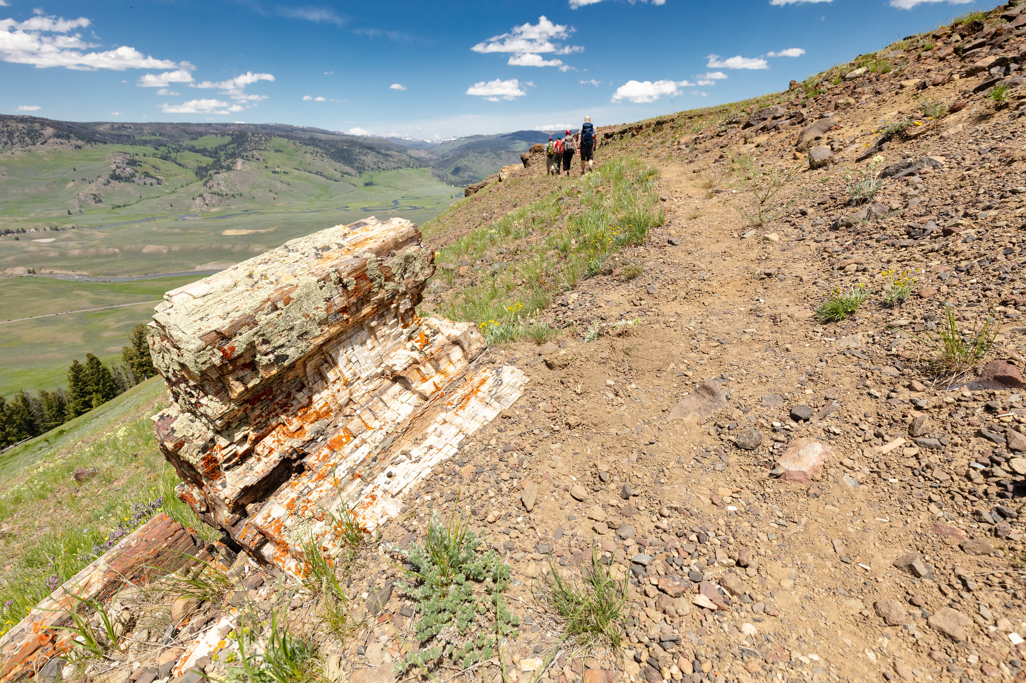
Follow the abandoned service road from the pullout for about 100 yards (91 m). Veer right onto the intersecting path and start climbing toward the ridge. Stay on the most obvious trail to the top of the open ridge. Follow the ridge line to the southwest in the direction of the cliff outcrop you saw from below. There are several wildlife trails that cut across below the top of the ridge, and traverse a forested area before ending at the trees. Be careful not to get off track on the wildlife trails. Take in the magnificent view across the valley. To the north, you can see the Slough Creek Valley and Absaroka Range. Descend the way you came up.
Safety notes: This strenuous, high elevation trail is not recommended for persons with heart and/or respiratory problems. This trail is not a part of the longer Specimen Ridge Trail. The Petrified Trees of Specimen Ridge is a separate, unmaintained and unmarked route. From the pullout, look southwest, away from the road. Toward the top of the ridge, at approximately the two o’clock position, you will see a cliff outcrop that contains the petrified trees. Keep this in mind as your ultimate destination.
Trailheads: Striped pullout 4.5 miles (7.2 km) east of Tower Junction on the Northeast Entrance Road. Marked by a sign reading “trailhead.”