Yellowstone National Park · Idaho, Montana, Wyoming

Silver Cord Cascade Trail

0.1 mi of trail, end to end · 7,821 ft–7,825 ft · earth surface · trail class Minimally Developed · hiking

7,822 ft 7,825 ft · 0.1 mi high 7,825 ft

Seven Mile Hole Trail the Park Service's write-up

5-8 Hours · no dogs · Summer, Fall

Start Grand Canyon of the Yellowstone River
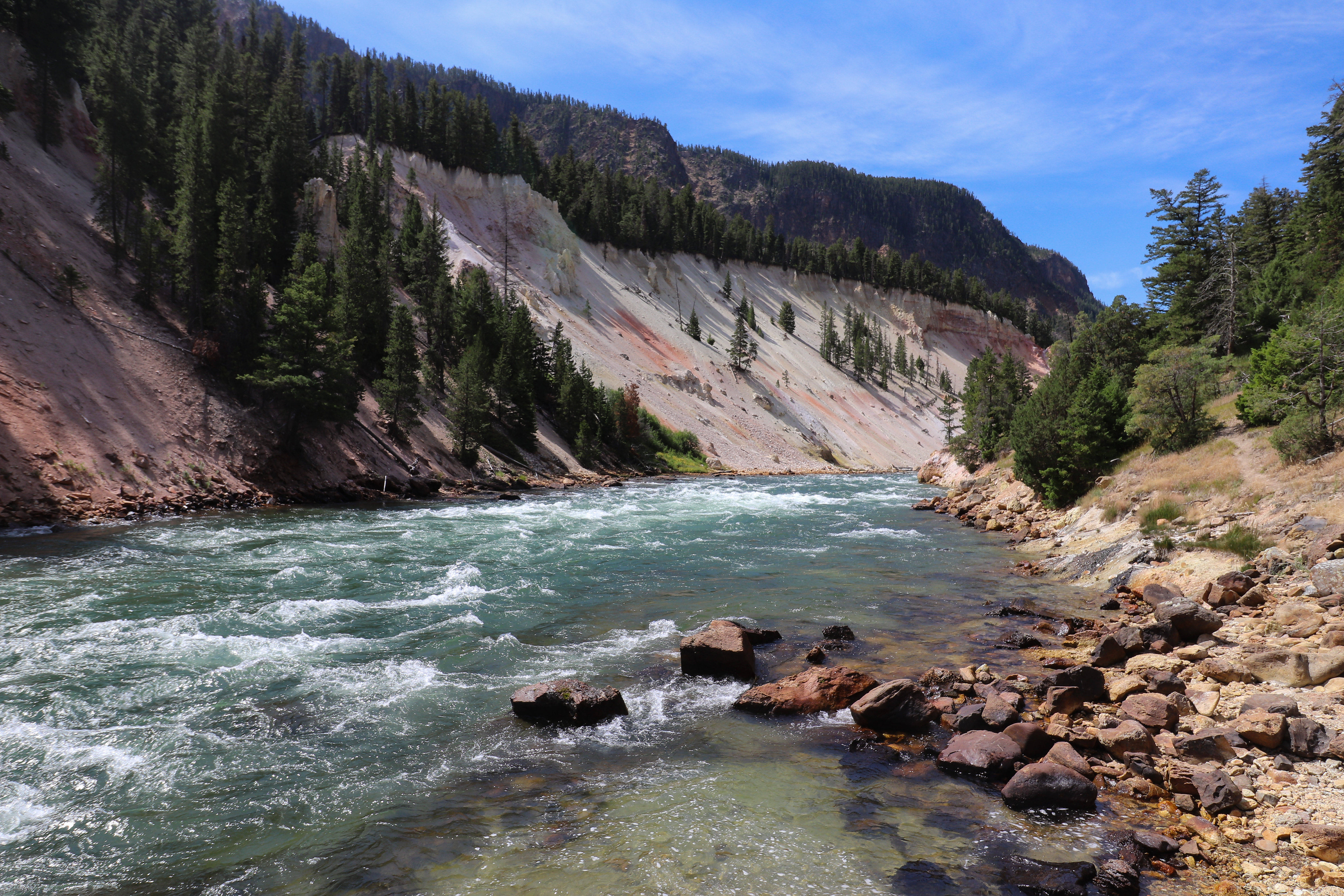
A river flows through a canyon with pale, sloping walls.
Photo: NPS / Addy Falgoust

For the first 1-½ miles, you will walk near the canyon rim and have views of Silver Cord Cascade across the canyon. In another ½-mile, you will join the Washburn Spur Trail; after an additional ¾-mile turn right onto the trail to Seven Mile Hole, which drops more than 1,000 feet in 2.3 miles.

Safety notes: Watch your footing and conserve your energy. Be especially careful where the trail passes both dormant and active hot springs. Stay on the trail. The only reliable water source on the trail is the Yellowstone river. Check the Backcountry Situation Report for further information.

Trailheads: Glacial Boulder pullout on the road to Inspiration Point.

This hike on nps.gov

All 473 trails in Yellowstone National ParkFind a trailOn the parks mapPark on nps.gov

About this trail's facts

The lines are the National Park Service's public trails layer, the trailheads and the waterfalls, views, peaks and historic places along them the Service's public points of interest, read 2026-10-16 and simplified for the map; the length is the line's, end to end. The write-ups are the Service's own "things to do" text, unedited. Heights come from USGS 3DEP through Terrain Tiles on AWS (Mapzen/Tilezen), read along each line and rounded; a short trail on steep ground can be off by a few tens of feet. Closures change: check the park's own site before you go.