Yellowstone National Park · Idaho, Montana, Wyoming

Riddle Lake Trail

2.4 mi of trail, end to end · about 20 ft of climbing · 90 ft of descent · 7,922 ft–7,988 ft · earth surface · trail class Minimally Developed · hiking

7,988 ft 7,922 ft · 2.4 mi high 7,988 ft

Trailhead Riddle Lake Trailhead 7,989 ft Drive there

Riddle Lake Trail the Park Service's write-up

2-4 Hours · no dogs · Summer, Fall

Start Grant Village
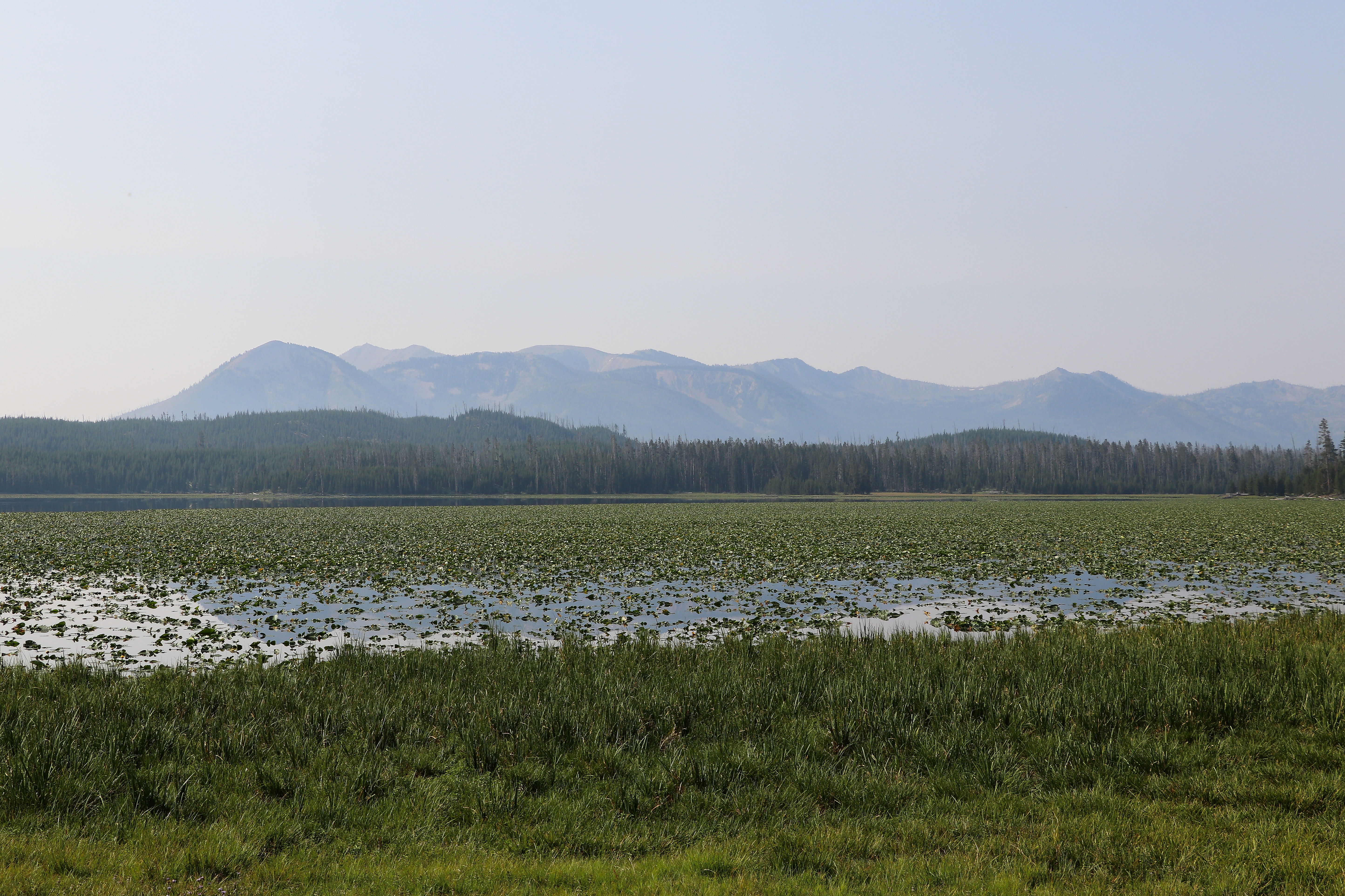
A lake covered in lily pads sits in front of a mountain.
Photo: NPS / Addy Falgoust

Crossing the Continental Divide, hike through small mountain meadows and forests to the shores of a picturesque little lake. Look for elk in the meadows and for birds near the lake.

Safety notes: Trail opens in mid-July ( Bear Management Area closure ) or later if trumpeter swans are nesting on the lake. Check the Backcountry Situation Report for current information.

Trailheads: Approximately 3 miles (5 km) south of the Grant Village intersection, just south of the Continental Divide sign.

This hike on nps.gov

All 473 trails in Yellowstone National ParkFind a trailOn the parks mapPark on nps.gov

About this trail's facts

The lines are the National Park Service's public trails layer, the trailheads and the waterfalls, views, peaks and historic places along them the Service's public points of interest, read 2026-10-16 and simplified for the map; the length is the line's, end to end. The write-ups are the Service's own "things to do" text, unedited. Heights come from USGS 3DEP through Terrain Tiles on AWS (Mapzen/Tilezen), read along each line and rounded; a short trail on steep ground can be off by a few tens of feet. Closures change: check the park's own site before you go.