Yellowstone National Park · Idaho, Montana, Wyoming

Rescue Creek Trail

7.2 mi of trail, end to end · about 1,700 ft of climbing · 5,369 ft–6,870 ft · earth surface · trail class Minimally Developed · hiking

6,241 ft 6,768 ft · 2.5 mi high 6,868 ft

Trailhead Rescue Creek Trailhead 5,362 ft Drive there

Rescue Creek Trail the Park Service's write-up

4-6 Hours · no dogs

Start Mammoth Hot Springs
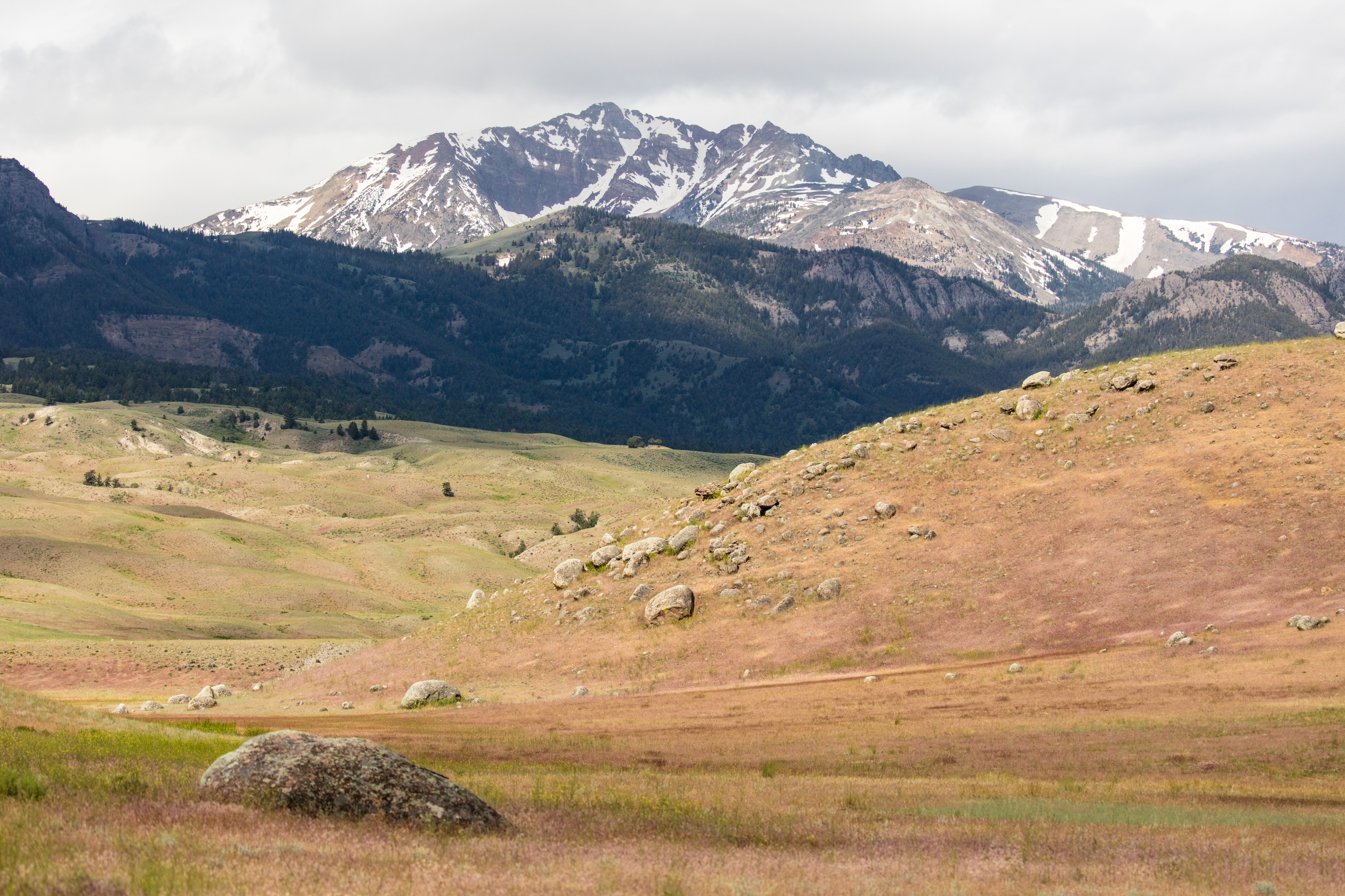
A rocky mountain peak emerges behind rolling, grassy hills.
Photo: NPS / Jacob W. Frank

Trail Alert! The bridge across the Gardner River was washed out in the 2022 flood event and fording is unsafe. The trail is only accessible from the trailhead near Blacktail Pond.

Climb gradually through aspens and meadows, then descend through forests to sagebrush flats.

Safety notes: Return by the same route (another 8 miles).

Trailheads: 7 miles (11.3 km) east of Mammoth on the Grand Loop Road.

Accessibility Rescue Creek Trail is not accessible to persons using mobility devices, due to topography.

This hike on nps.gov

All 473 trails in Yellowstone National ParkFind a trailOn the parks mapPark on nps.gov

About this trail's facts

The lines are the National Park Service's public trails layer, the trailheads and the waterfalls, views, peaks and historic places along them the Service's public points of interest, read 2026-10-16 and simplified for the map; the length is the line's, end to end. The write-ups are the Service's own "things to do" text, unedited. Heights come from USGS 3DEP through Terrain Tiles on AWS (Mapzen/Tilezen), read along each line and rounded; a short trail on steep ground can be off by a few tens of feet. Closures change: check the park's own site before you go.