
Pelican Valley Trail
Trailhead Pelican Valley Trailhead 7,820 ft Drive there
Pelican Valley Trail the Park Service's write-up
3-4 Hours · no dogs · Summer, Fall
Start Fishing Bridge
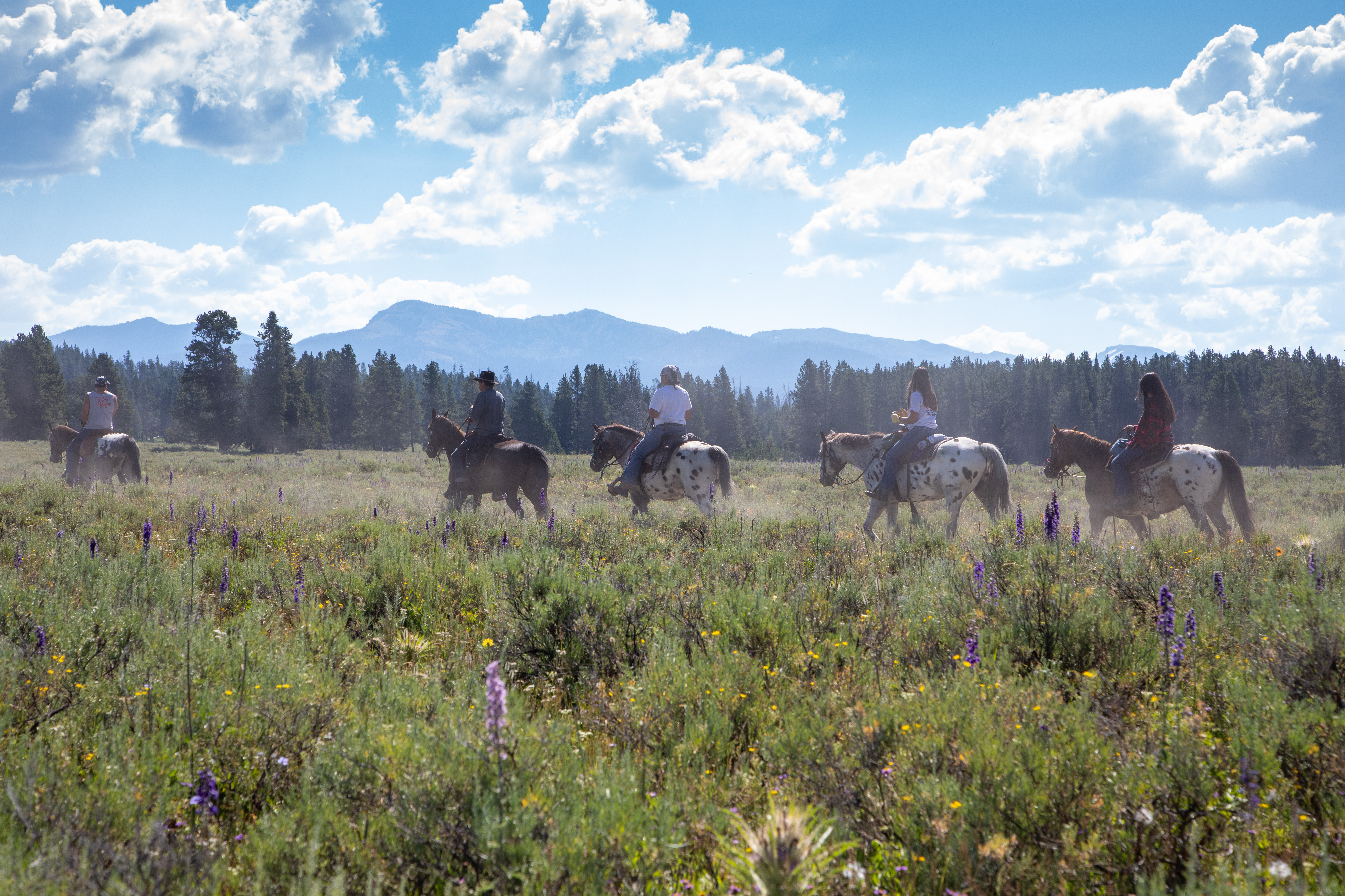
You are entering some of the best grizzly country in the lower 48 states. The trail heads north, crosses a few bridges through a meadow, then enters the forest. After it leaves the forest, it ascends a small hill to a nice overlook of the valley, with the creek below and the Absaroka Mountains to the east. From here, the trail turns slightly to the right (east) and passes through a small hydrothermal area. Stay on the trail through this fragile and hazardous area. Soon, the trail veers north (left), crosses a small creek, and climbs up a cut bank. This is a good place to enjoy the views of Pelican Creek. The trail continues one mile further to a washed-out bridge.
Safety notes: Many restrictions apply to this trail because it is in prime grizzly bear habitat: Closed until July 4th ( Bear Management Area closure ), day-use only from 9 am–7 pm, groups of four or more hikers recommended, and off-trail travel prohibited on the first 2.1 miles (3.4 km). Check the Backcountry Situation Report for current information.
Trailheads: Turn onto the gravel road 3 miles (4.8 km) east of Fishing Bridge Visitor Center; park at end of road.
Accessibility This is a fairly level, single-wide, bare ground trail that heads through a valley. There is no bridge crossing the creek.