Yellowstone National Park · Idaho, Montana, Wyoming

Observation Point Trail

1.1 mi of trail, end to end · about 200 ft of climbing · 7,355 ft–7,587 ft · earth, wood surface · trail class Developed, Minimally Developed · hiking

7,355 ft 7,431 ft · 0.2 mi high 7,431 ft

Observation Point Trail the Park Service's write-up

1-3 Hours · no dogs

Start Upper Geyser Basin
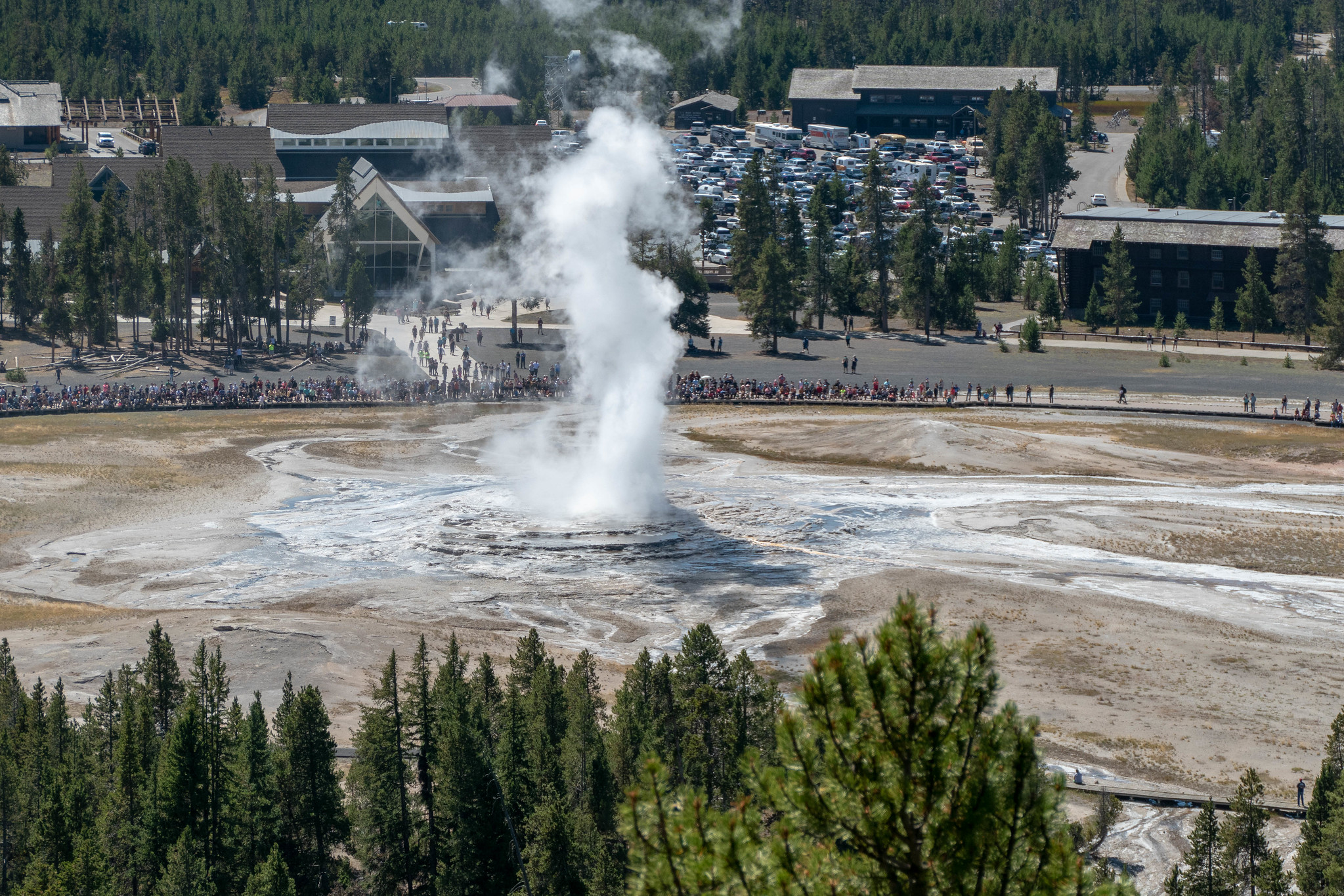
Water and steam erupt out of a geyser while people watch.
Photo: NPS / Diane Renkin

Switchbacks lead up the hill 0.5 miles (0.8 km) to a commanding view of the Upper Geyser Basin. Return the same way.

Safety notes: Carry water and pace yourself going up the hill.

Trailheads: From the Old Faithful Visitor Education Center, walk about 0.3 miles (0.5 km) counter-clockwise along the Old Faithful boardwalk, turn right at the Geyser Hill sign, and continue down the path. The trailhead is just after the bridge crossing the Firehole River.

This hike on nps.gov

All 473 trails in Yellowstone National ParkFind a trailOn the parks mapPark on nps.gov

About this trail's facts

The lines are the National Park Service's public trails layer, the trailheads and the waterfalls, views, peaks and historic places along them the Service's public points of interest, read 2026-10-16 and simplified for the map; the length is the line's, end to end. The write-ups are the Service's own "things to do" text, unedited. Heights come from USGS 3DEP through Terrain Tiles on AWS (Mapzen/Tilezen), read along each line and rounded; a short trail on steep ground can be off by a few tens of feet. Closures change: check the park's own site before you go.