
Norris Geyser Basin Trail
Visitor centers
Along the way Norris Geyser Basin Museum
Trailhead Norris Geyser Basin Trailhead 7,465 ft Drive there
Norris Geyser Basin Trails the Park Service's write-up
30-90 Minutes · no dogs · Spring, Summer, Fall · season Norris Geyser Basin is only accessible by snowmobile during the winter months.
Start Norris Geyser Basin
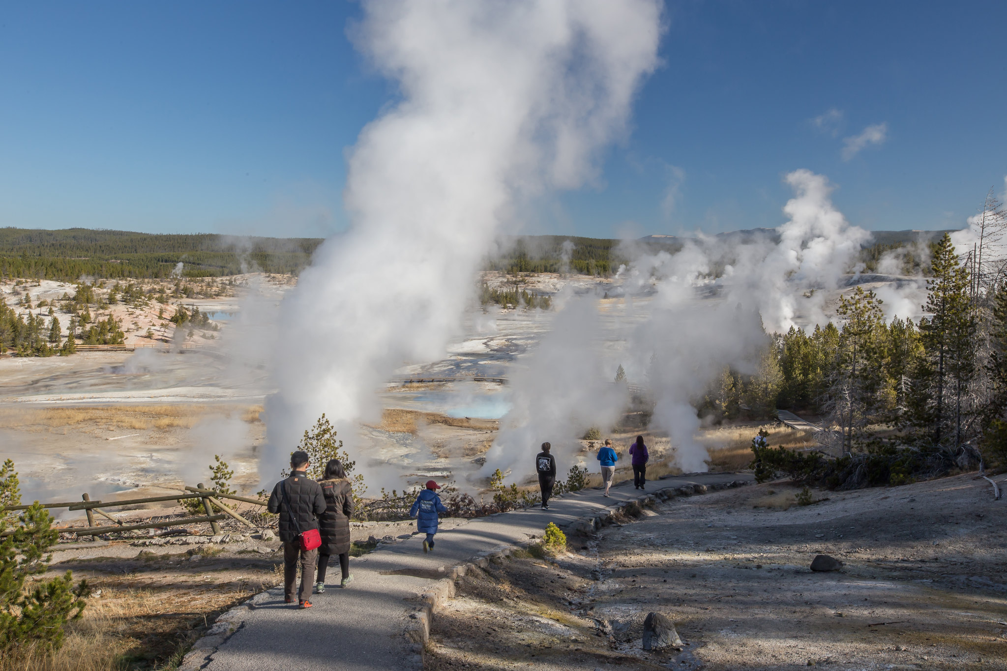
Norris is one of the hottest and most acidic of Yellowstone’s hydrothermal areas. It is part of one of the world’s largest active volcanoes. Many hot springs and fumaroles here have temperatures above the boiling point (200ºF / 93ºC).
Water fluctuation and seismic activity often change features. Norris is near the intersection of three major faults. One runs from the north; another runs from the west. These two faults intersect with a ring fracture from the Yellowstone Caldera eruption 640,000 years ago. These conditions helped to create this dynamic geyser basin.
Notes: Thermal activity throughout this entire area. Stay on the boardwalks and designated trails at all times.
Check out the hike details and accessibility information at the bottom of this page.
Accessibility The trails through the geyser basin are a combination of boardwalks, paved paths, and unpaved paths. The trail leading from the Norris Geyser Basin Museum & Information Station down into both basins is steep and uneven.