
Natural Bridge Trail
Trailhead Natural Bridge Trailhead 7,760 ft Drive there
Natural Bridge Trail the Park Service's write-up
1-2 Hours · no dogs · Summer, Fall
Start Bridge Bay Marina
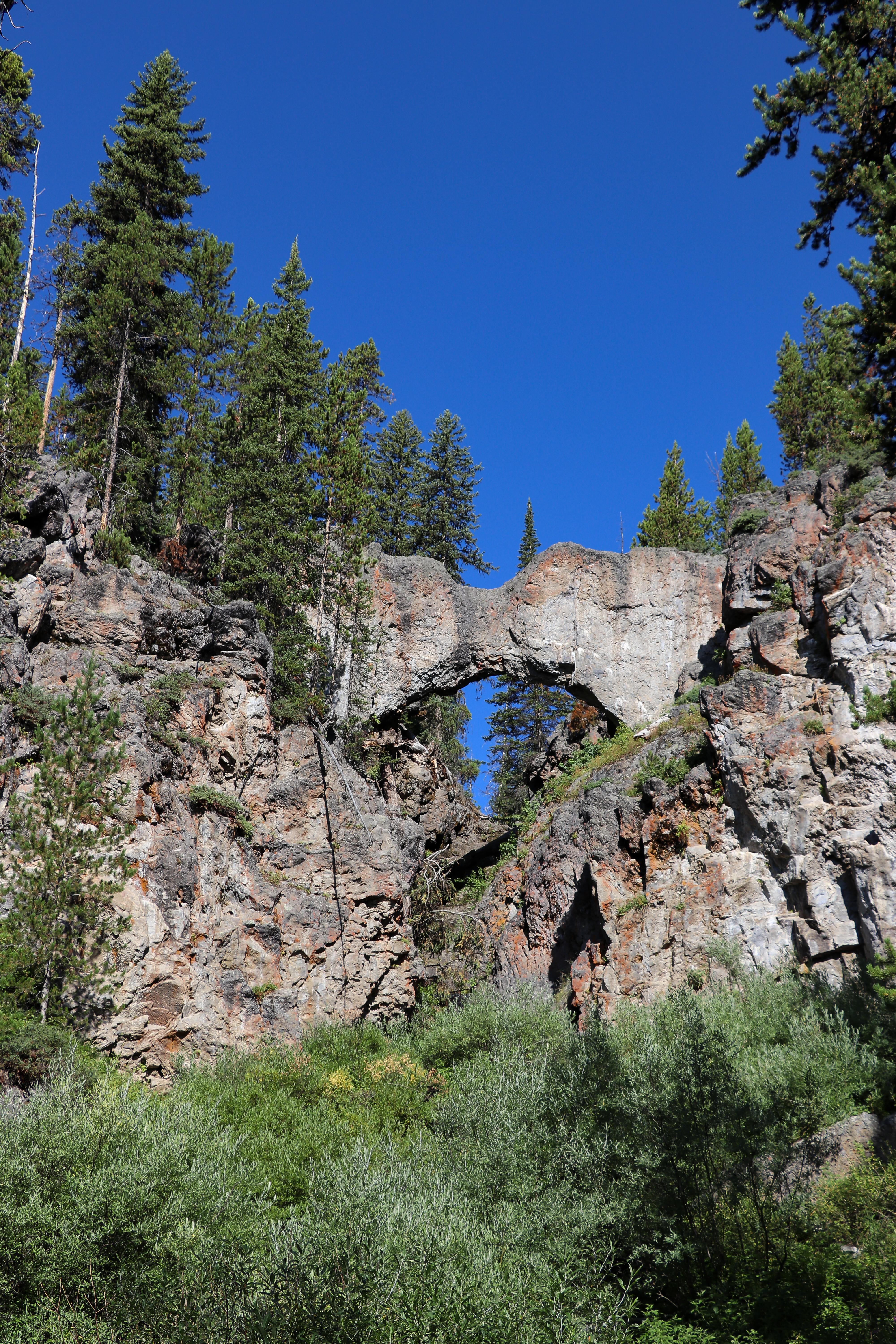
The natural bridge is a 51 foot (18 m) cliff of rhyolite rock cut through by Bridge Creek. The hiking trail meanders through the forest for .7 of a mile (1.2 km). It then joins a service road and continues to the right (west) for .4 of a mile (0.6 km) to the Natural Bridge. The short but steep switchback trail to the top of the bridge starts in front of the interpretive exhibit. To protect this fragile resource, the top of the bridge is closed to hiking and biking. Past the natural bridge, the trail crosses a creek then continues along the cliff before rejoining the road. Exercise caution along the creek bed for wet and slippery rocks.
Safety notes: Trail is generally closed in early summer while bears feed on spawning trout in Bridge Creek. Inquire at the Fishing Bridge Visitor Center for opening date and other closures. The bike trail to Natural Bridge begins just south of the marina off the Grand Loop Road.
Trailheads: Bridge Bay Marina parking lot near the campground entrance road.
Accessibility Natural Bridge Trail is a 2.5-mile, semi-paved accessible trail just south of Bridge Bay.