
Mud Volcano Trail
Trailhead Mud Volcano Trailhead 7,761 ft Drive there
Mud Volcano Trail the Park Service's write-up
1-2 Hours · no dogs · season This area is accessible during the spring, summer, and fall when the main park road is open. In the winter, snowcoach tours may be able to taking tours to this area, though the trails will be covered in snow and ice.
Start Mud Volcano
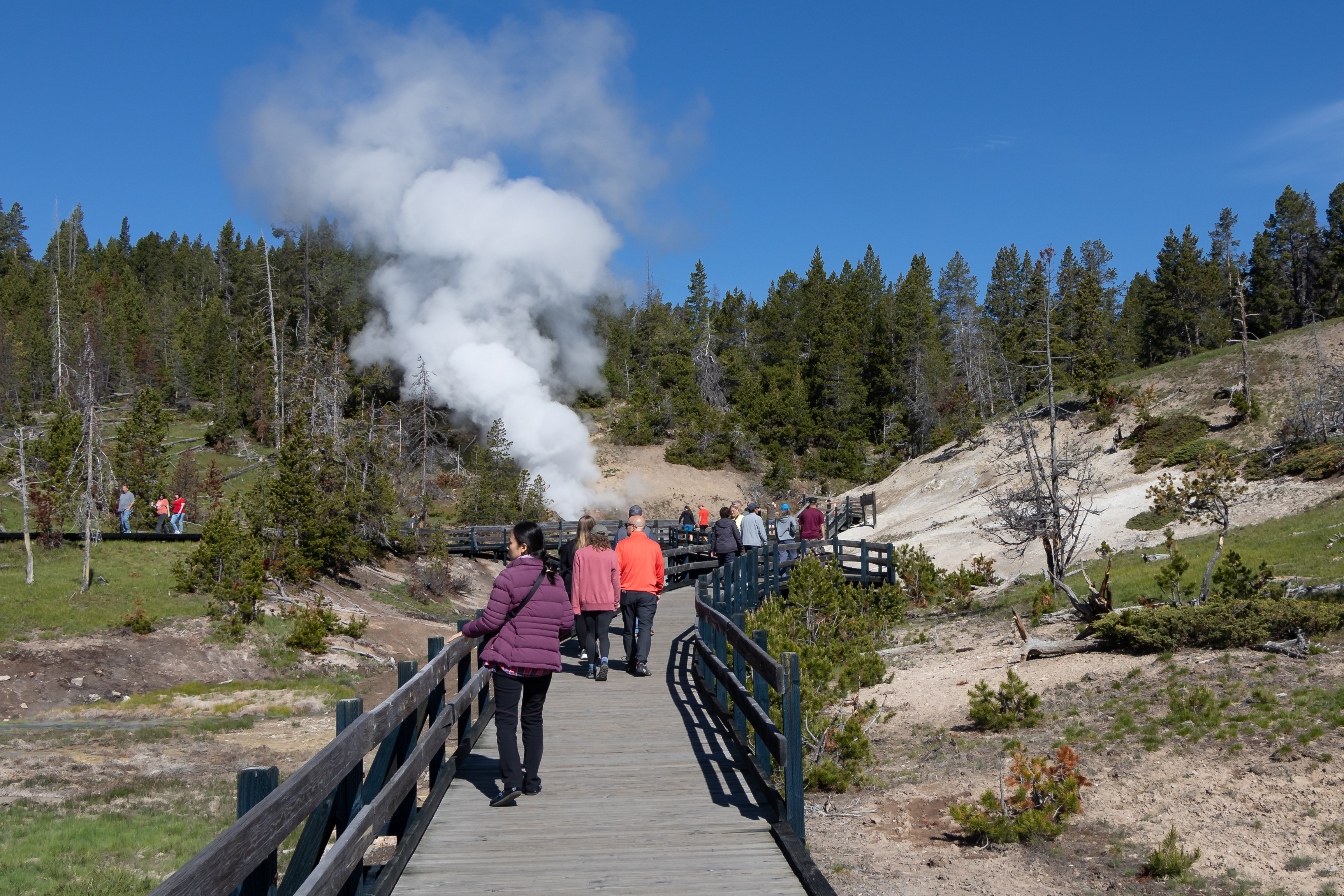
Yellowstone itself is a volcano, and one of its most spectacular eruptions occurred 640,000 years ago. During the eruption, the land collapsed and left a large depression in the earth—the Yellowstone Caldera. This caldera filled with lava flows over hundreds and thousands of years creating the volcanic plateau that comprises much of the central part of the park.
Here at Mud Volcano you are close to one of the resurgent domes. The hills you see east of here comprise Sour Creek Dome. Resurgent domes are areas of active ground deformation, where the land moves up or down with the fluctuation of the magma chamber below. Scientists monitor these domes closely for information about ongoing volcanic activity.
Not surprisingly, many of the park’s geysers, hot springs, mudpots, and fumaroles are also found near or within the caldera.
Accessibility The southern part of the trail is paved, but it does have a steep grade to the top of the hill. The northern end of the loop has stairs going partway up the hillside. The smaller loop around Mud Volcano and Dragon's Mouth Spring meets federal guidelines for wheelchair accessibility, though there are stairs leading up to a viewing platform at Dragon's Mouth Spring.