Yellowstone National Park · Idaho, Montana, Wyoming

Grebe Lake Trail

3.3 mi of trail, end to end · 150 ft of descent · 8,028 ft–8,145 ft · earth surface · trail class Minimally Developed · hiking

8,145 ft 8,097 ft · 2.5 mi high 8,145 ft

Trailheads Grebe Lake Trailhead 8,145 ft Drive there · Trailhead 8,145 ft Drive there

Grebe Lake Trail the Park Service's write-up

3-4 Hours · no dogs · Summer, Fall

Start Canyon Village

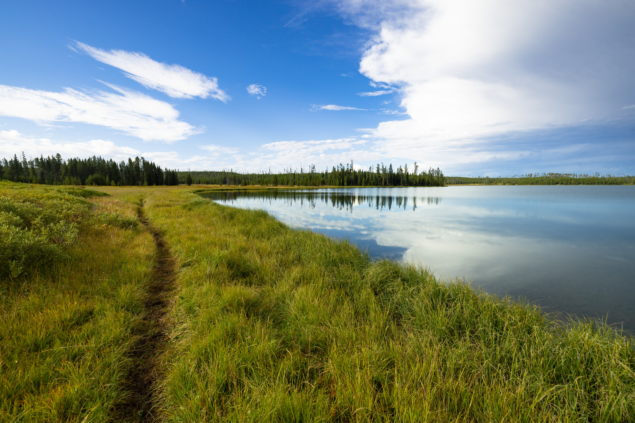
A trail runs through the grass alongside a lake.
Photo: NPS / Jacob W. Frank

A more direct route than the Howard Eaton Trail, this trail follows an old fire road through meadows and forest, some of which burned in 1988.

Safety notes: At the lake you can connect with the Howard Eaton Trail or return the way you came.

Trailheads: 3-½ miles (5.6 km) west of Canyon Junction on the Norris–Canyon Road.

This hike on nps.gov

All 473 trails in Yellowstone National ParkFind a trailOn the parks mapPark on nps.gov

About this trail's facts

The lines are the National Park Service's public trails layer, the trailheads and the waterfalls, views, peaks and historic places along them the Service's public points of interest, read 2026-10-16 and simplified for the map; the length is the line's, end to end. The write-ups are the Service's own "things to do" text, unedited. Heights come from USGS 3DEP through Terrain Tiles on AWS (Mapzen/Tilezen), read along each line and rounded; a short trail on steep ground can be off by a few tens of feet. Closures change: check the park's own site before you go.