
Chittenden Road-Mount Washburn Trail
Trailhead Chittenden Road Trailhead 8,750 ft Drive there
Chittenden Road - Mount Washburn Trail the Park Service's write-up
3-5 Hours · no dogs · Summer, Fall
Start Canyon Village
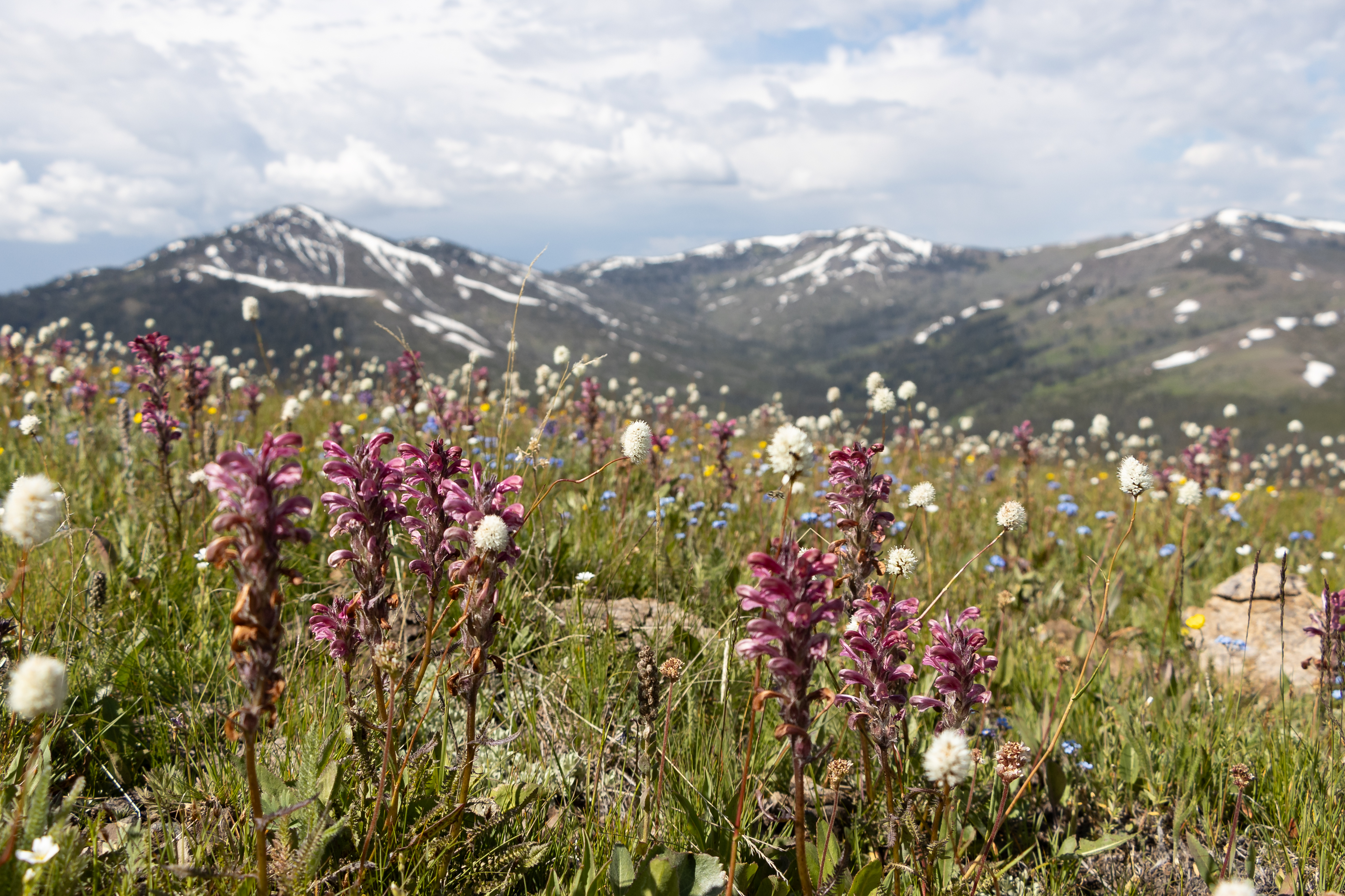
Starting at the Chittenden Road Trailhead this route provides the shortest route up to Mount Washburn. The road provides for a wide trail and a steady gradual incline. Look for bighorn sheep and wildflowers. Stay on the trail to avoid destroying fragile alpine vegetation. You may encounter bicyclists or service vehicles along this route. At the top, enjoy the view and interpretive exhibits from inside the shelter at the base of the fire lookout.
Safety notes: Be aware of lightning above the treeline. There is no access to water along this trail. Grizzly bears frequent the Mount Washburn area in the fall, seeking out whitebark pine nuts. To help protect yourself and any bears you may encounter , it's important to hike in groups of 3 or more people, make noise, and carry bear spray (and know how to use it). These hikes are not recommended for persons with heart and/or respiratory problems.
Trailheads: Trail starts at parking area on Chittenden Road, 10.3 miles (16.5 km) north of Canyon.