
Blacktail Plateau Ski Trail
Trailhead Self-Guided Trail Trailhead 6,922 ft Drive there
Forces of the Northern Range Self-guided Trail the Park Service's write-up
30-60 Minutes · no dogs · Spring, Summer, Fall
Start East of Mammoth Hot Springs
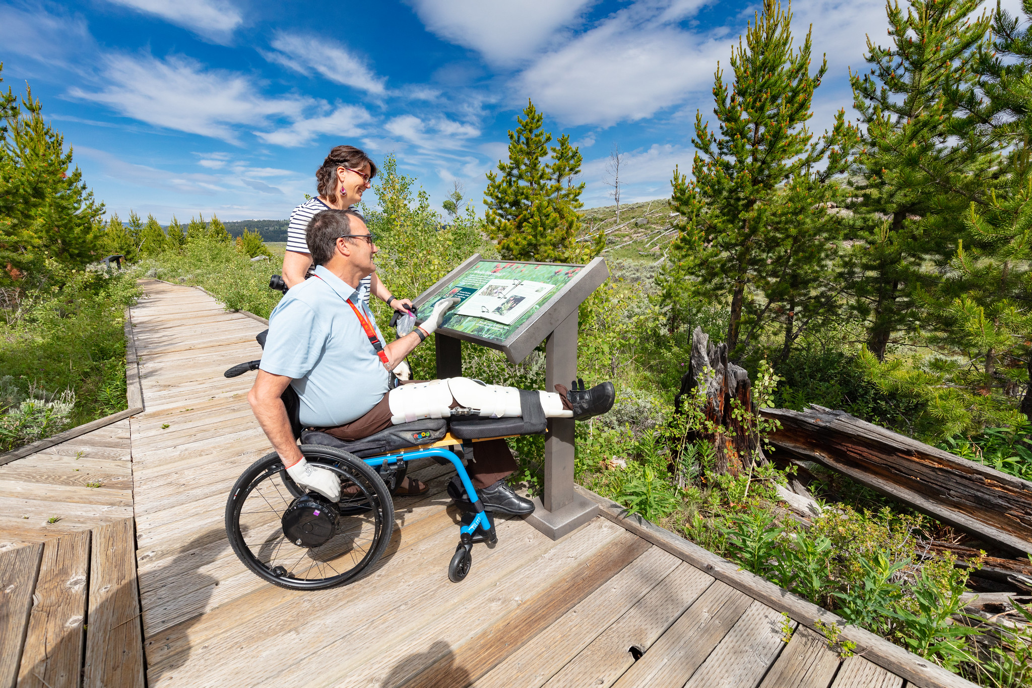
This .5 mile (.8 km) boardwalk has 11 stops with exhibits. No restroom.
Yellowstone’s northern range is a grassland north of the Yellowstone and Lamar Rivers. This area sustains one of the largest and most diverse communities of free-roaming large animals in the world.
Yellowstone National Park is a place where scientists can study nature in a nearly unchanged condition.
Safety notes: Do not approach or feed any animal. Stay 100 yards (91 m) from bears and wolves. Stay 25 yards (23 m) from all other animals.
Trailhead: The trail begins 8.3 miles (13.4 km) east of Mammoth on the Grand Loop Road.
Accessibility The entire boardwalk is accessible. There is no designated accessible parking. Some gaps between boards may exceed .5 inches. The boardwalk surface is somewhat uneven and bumpy. There are some tactile exhibits. The closest accessible toilet is at the Blacktail Creek pullout.