
Avalanche Peak Trail
Picnic areas
Along the way Eleanor Lake Picnic Area
Trailhead Avalanche Peak Trailhead 8,483 ft Drive there
Avalanche Peak Trail the Park Service's write-up
3-4 Hours · no dogs · Summer, Fall · season This trail is often snow-covered until early July. Grizzly bears frequent this area in the fall, seeking out whitebark pine nuts. Hiking this trail is not recommended in September and October.
Start Yellowstone Lake
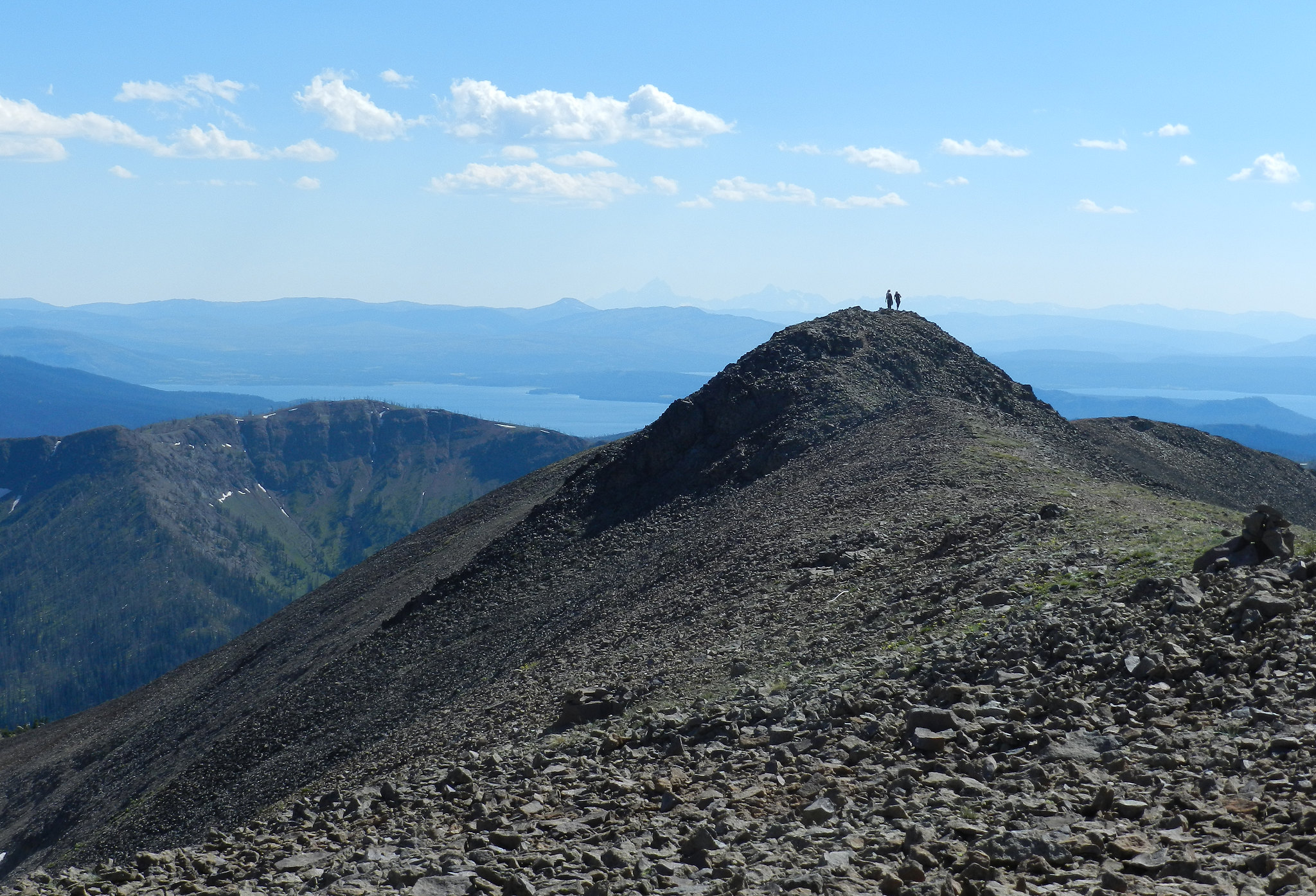
Across the road from the parking area and to the right of the creek, the trail enters the forest and begins its steep ascent—2,100 feet in 2.1 miles (3.3 km). In just over a mile, it arrives at the base of the large bowl of Avalanche Peak, then continues to the left and switches back over large talus slopes to an open level area below the summit. Follow the established trail up to the narrow ridgeline and cross it with extreme caution. Those who make this arduous hike will be rewarded with stunning views of some of the park’s tallest and most remote alpine peaks. Return by the same route.
Safety notes: This trail is often snow-covered until early July. This strenuous, high elevation trail is not recommended for people with heart and/or respiratory problems. Be aware of lightning above treeline. Even on warm summer days, bring rain gear, wool hats, and gloves. Burned trees may fall without warning. Grizzly bears frequent this area in the fall, seeking out whitebark pine nuts. Hiking this trail is not recommended in September and October.
Trailheads: Look for a pullout at Eleanor Lake, 19 miles (30.6 km) east of Fishing Bridge Junction (8 miles / 12.9 km west of East Entrance). The trailhead is across the road from the pullout.
Accessibility This trail is a path carved out of bare ground and rocky terrain that ascends the side of a mountain. Switchbacks are used for most elevation changes, but the grade can be steep in spots. There is at least 2,100 feet in elevation gain during the first-half of the hike, and the same elevation loss during the descent.