
Alkali Flat Trail
Trailhead Alkali Flat Trail 3,995 ft Drive there
Hiking Alkali Flat Trail the Park Service's write-up
3-5 Hours · dogs allowed
Start Dunes Drive
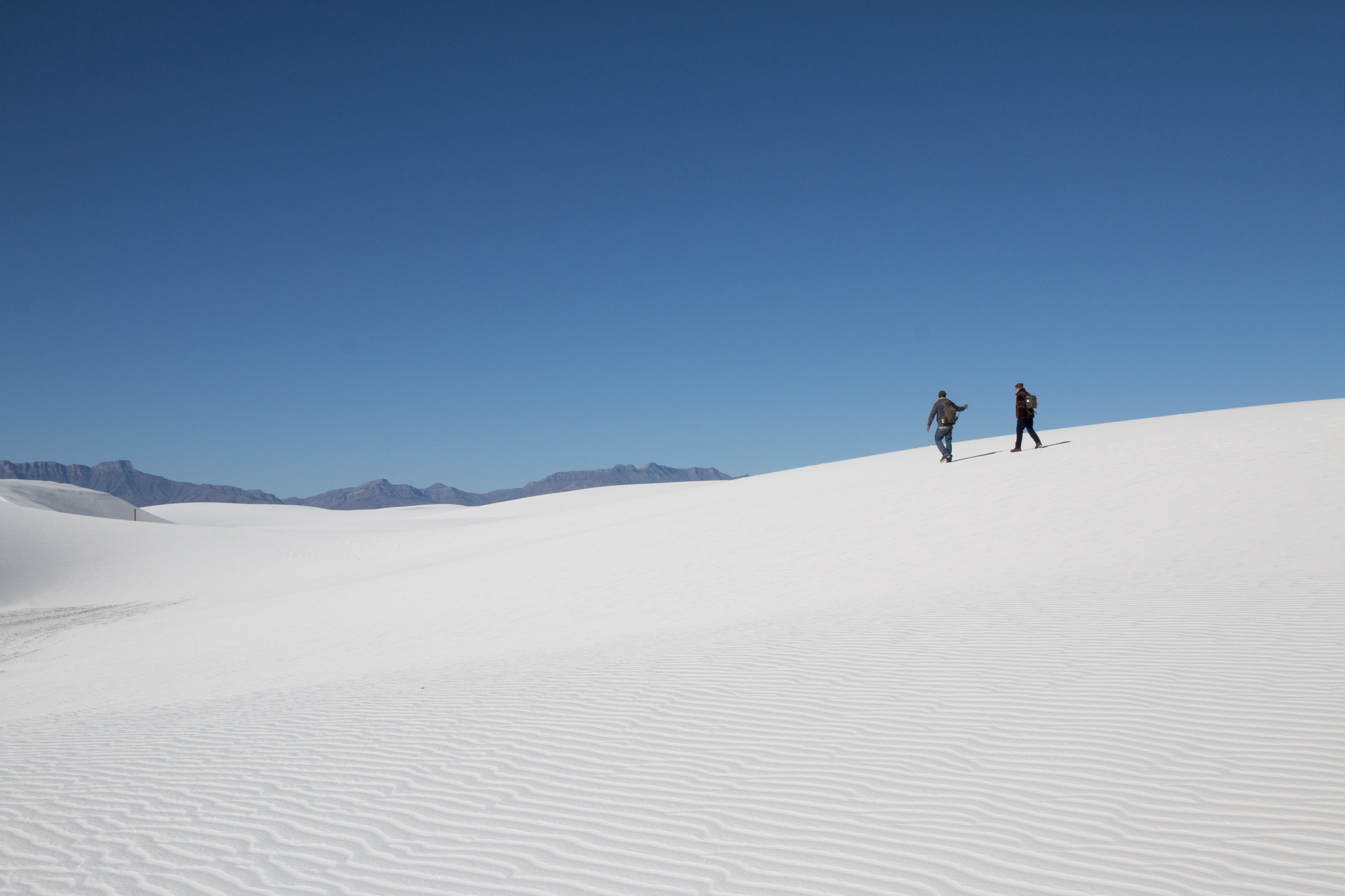
Surround yourself with a rolling white landscape that stretches endlessly in every direction. Embrace the solitude offered by this trail as it travels up and down the dunes and away from the road. Find yourself along the outer edge of Alakli Flat, the salty expanse where an ancient lake once flourished.
This is a strenuous five mile (8 km) out-and-back hike. You will hike 2.5 (4 km) miles to Alkali Flat and return the same way. This hike consistently has you climbing 60 ft (18.3 m) dunes.
This trail takes an average of four hours to complete.
Follow the red diamond trail markers to complete the trail. If you are unable to see the next marker, turn around and go back to the trailhead.
Although the name of the trail is "Alkali Flat," please note that this trail is not flat!
Ranger Recommendations
Bring plenty of water for your family and pets
This trail has very little shade. Use adequate sun protection.
Look carefully for the next trail marker before continuing. If you cannot see the next trail marker because of blowing sand or because the trail marker is knocked down, do not proceed—return to your car. Strong winds can reduce visibility to a few feet, making it easy to become lost.
Stay on the trail to avoid damaging delicate biocrust
Visit our Hiking Safety page for more recommendations about hiking in the unique conditions of White Sands National Park
Accessibility This trail is not ADA accessible. This hike includes walking up and down sand dunes of up to sixty feet in loose gypsum sand. The park's only accessible trail is the Interdune Boardwalk .