
Shasta Bally Trail
Hike to Whiskeytown Falls 3.4 mi round trip · the Park Service's write-up
2-3 Hours · dogs allowed
Start James K Carr Trailhead
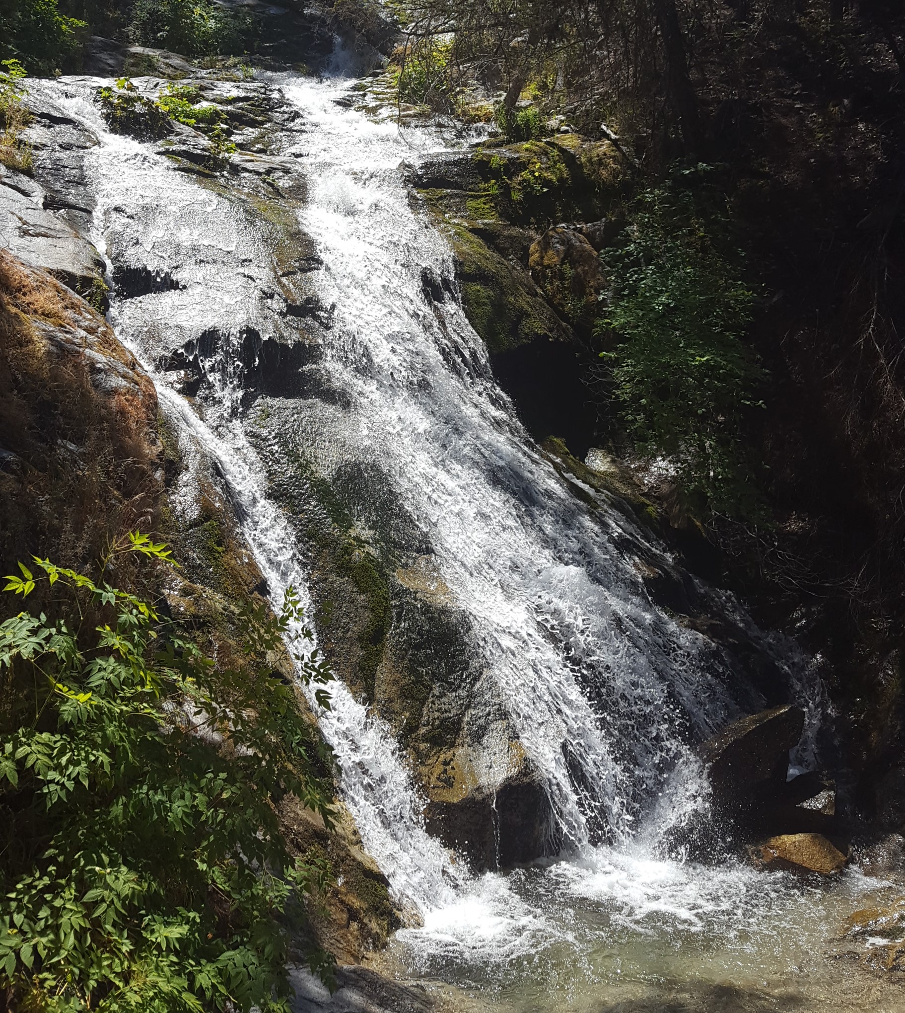
Whiskeytown Falls is a series of cascades which drop 220 feet as the east fork of Crystal Creek winds down the slope of Shasta Bally. The falls are accessed by the James K. Carr trail, a moderately strenuous 3.4 mile round-trip path which follows old logging routes through shade and sun in a forested area that was only lightly affected by the Carr Fire of 2018. Beginning at an elevation of 2200 feet, the trail descends for about .25 miles before making a steady ascent up to the falls at 2900 feet. Be sure to stay to the right at the Mill Creek trail junction.
About .25 miles from the end of the trail, you will find a level picnic area. Steps and handrails along the cascades are provided for safety. Upper levels of the path have been damaged since the Carr fire and may not be accessible until repair work is completed. Please to not continue past any closures.
Parking for the James K. Carr trail is located 3.5 miles up Crystal Creek Road on the west side of the park. A gravel parking lot will be on your left, perched over the forested ravine of Crystal Creek near the end of the paved road. If you have arrived at a closed gate, you have gone a little too far. A vault-style restroom is provided at the trailhead on the east side of the gravel lot.
Accessibility Be aware that the James K. Carr trail is considered a moderately difficultly hike with a round trip distance of 3.4 miles and an elevation gain of 700. The trail is steep in places and is unpaved with loose rocks, sand and gravel. People with mobility issues are advised to use extra caution when considering participating in this activity.