
Vanderbilt Service Road trail
Vanderbilt Riverfront Trail 2.5 mi loop · the Park Service's write-up
2-3 Hours · dogs allowed
Length: 2.5 mile loop
Difficulty: Moderate
Blaze: Green and white Hyde Park Trail Marker
Trailhead Location: Parking is at Vanderbilt Mansion National Historic Site parking lot. Follow loop.
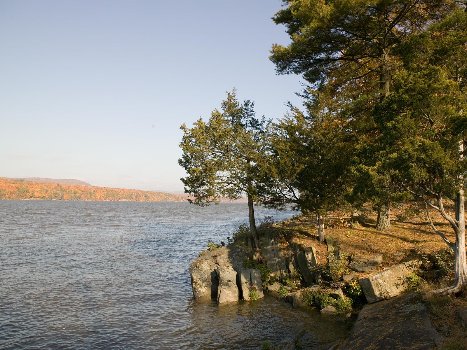
Terrain : Moderate walking on park roads. Some steep hills, views of the Hudson River.
History : It all began here—on the banks of the Hudson River. For centuries, the river sustained the livelihood of Native Americans, European explorers and landowners, African American slaves, and the scions of American industry. These trails traverse time, taking you on a journey from the first waterfront settlements through the Gilded Age of the early twentieth century.
Trail map available here .
Rules & Regulations
Safety first!
Trail is open daily sunrise to sunset.
Bikes are not permitted on any trails at this site.
Garbage cans are not available. This is a Carry In,Carry Out trail.
Stay on marked trails only.
Hunting, trapping, or possession of firearms prohibited.
No Fires, camping, or swimming.
Pets must be leashed; You must clean up after your pet.
Removal or disturbance of flora, fauna, or cultural resources is strictly prohibited.
Motorized vehicles prohibited.
In Case of Emergency Call 911
Report Safety & Security Issues to (845) 229-9380
Report Trail Maintenance Issues to (845) 229-1521