
National Historic Site · New York
Trails in Vanderbilt Mansion National Historic Site
11 named trails · 4 miles · 1 with the Park Service's own write-up. The lines, trailheads and points are the Park Service's; the write-ups are the Service's own words; the climbing is read from USGS elevation along each line.
11 trails, A to Z.
Bard Rock South Trail
Bard Rock Trail
Garden Path
History
Along the way Garden Loggia North Pergola Pool Pergola
Hyde Park Trail
Lower Gate Entry
Vanderbilt Garden Trail
History
Along the way Vanderbilt Mansion
Vanderbilt Lower Gate Road
Vanderbilt Overlook trail
ViewsVisitor centers
Along the way Overlook Pavilion Visitor Center
Vanderbilt Service Road trail
Vanderbilt Riverfront Trail the Park Service's write-up
2-3 Hours · dogs allowed
Length: 2.5 mile loop
Difficulty: Moderate
Blaze: Green and white Hyde Park Trail Marker
Trailhead Location: Parking is at Vanderbilt Mansion National Historic Site parking lot. Follow loop.
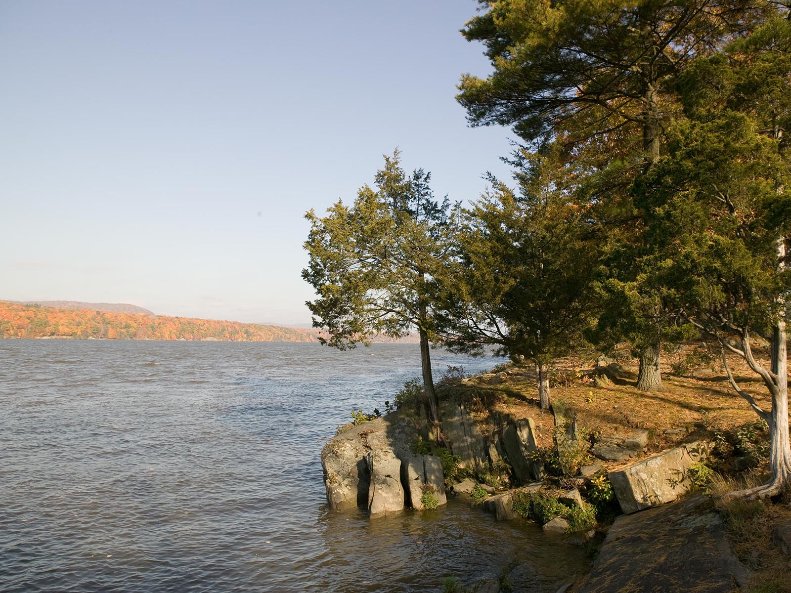
Terrain : Moderate walking on park roads. Some steep hills, views of the Hudson River.
History : It all began here—on the banks of the Hudson River. For centuries, the river sustained the livelihood of Native Americans, European explorers and landowners, African American slaves, and the scions of American industry. These trails traverse time, taking you on a journey from the first waterfront settlements through the Gilded Age of the early twentieth century.
Trail map available here .
Rules & Regulations
Safety first!
Trail is open daily sunrise to sunset.
Bikes are not permitted on any trails at this site.
Garbage cans are not available. This is a Carry In,Carry Out trail.
Stay on marked trails only.
Hunting, trapping, or possession of firearms prohibited.
No Fires, camping, or swimming.
Pets must be leashed; You must clean up after your pet.
Removal or disturbance of flora, fauna, or cultural resources is strictly prohibited.
Motorized vehicles prohibited.
In Case of Emergency Call 911
Report Safety & Security Issues to (845) 229-9380
Report Trail Maintenance Issues to (845) 229-1521
Vanderbilt Walkway
HistoryVisitor centers
Along the way Vanderbilt Mansion Pavilion Visitor Center
More hikes the Park Service describes
Write-ups that name no single mapped trail, in the Service's words.
- Hudson River Art Trail · dogs allowed
The Hudson River School Art Trail connects you with the places in nature that Thomas Cole and the Hudson River School artists made famous in their 19th-century landscape paintings. Cole founded this nation’s first major art movement, now known as the Hudson River School, and advocated for the preservation of the American landscape as a national treasure.
About these trails
The lines are the National Park Service's public trails layer, the trailheads and the waterfalls, views, peaks and historic places along them the Service's public points of interest, read 2026-10-14 and simplified for the map. The write-ups are the Service's own "things to do", unedited. Heights come from USGS 3DEP through Terrain Tiles on AWS (Mapzen/Tilezen), read along each line and rounded; a short trail on steep ground can be off by a few tens of feet. Closures change: check the park's own site before you go.