
Wind Canyon Trail
Exhibits
Along the way Wayside Exhibit - "Carved by Wind and Water"
Trailhead Wind Canyon Trailhead 2,348 ft Drive there
Hike Wind Canyon Trail the Park Service's write-up
5-30 Minutes · no dogs · season Trail conditions may be dangerous or slippery due to inclement weather. Speak to a ranger for more details.
Start Wind Canyon Trailhead
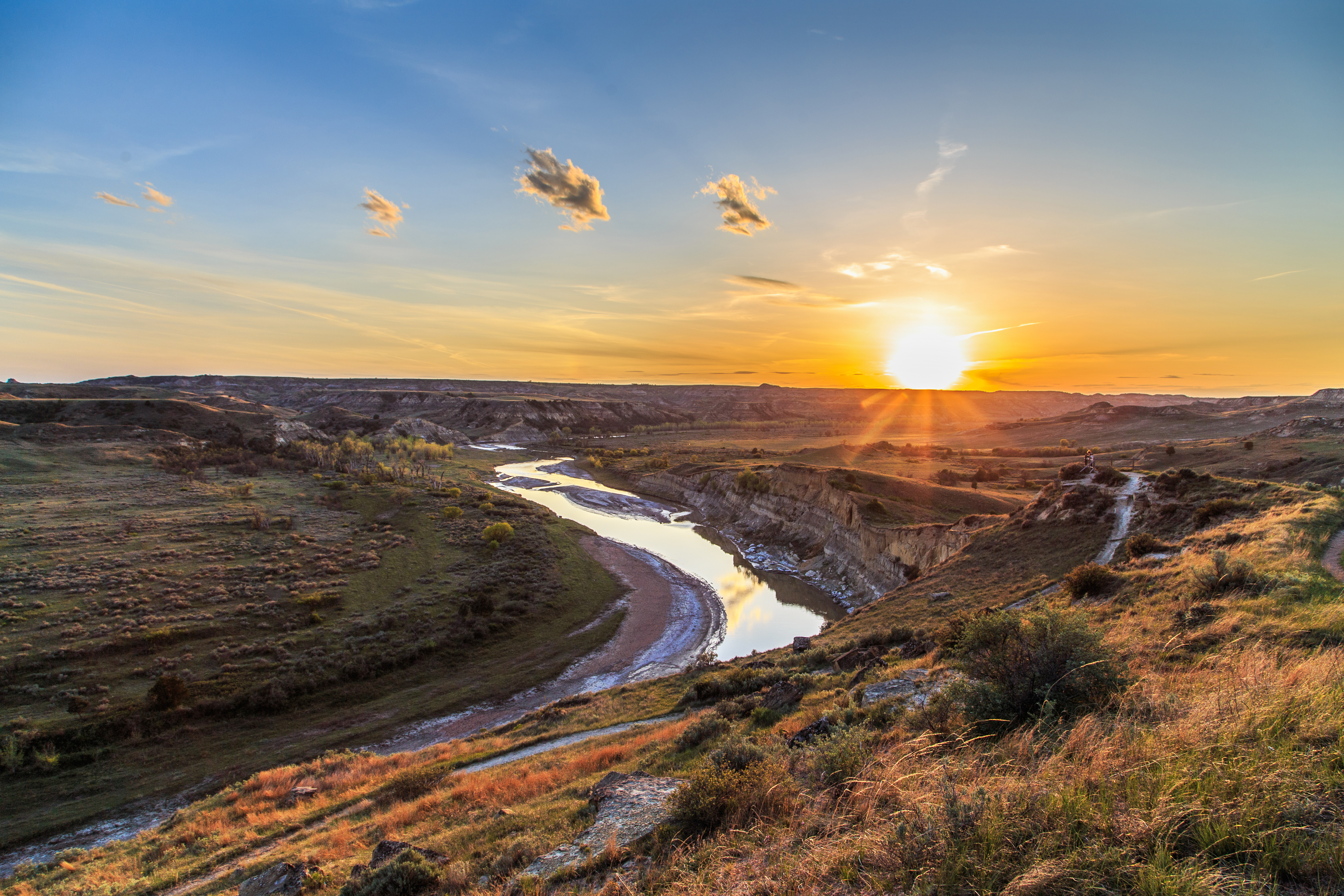
There are many beautiful vistas in the South Unit of Theodore Roosevelt National Park, but perhaps none are more dramatic than the view from Wind Canyon trail. This short loop trail travels along wind eroded cliffs above the Little Missouri river, before climbing up to a dramatic lookout point.
A perfect place for a short hike or to watch the sunset over the badlands, no trip to Theodore Roosevelt National Park is complete without stopping here.
Hikers should wear proper footwear and keep away from steep cliff edges.
It is illegal to remove any resource from a national park. Leave any flower, stone, or other object where you find it so that other visitors can enjoy it as well.
It is illegal to carve, paint, or otherwise alter anything in a national park.
Pets Pets are welcome in Theodore Roosevelt National Park. However, they are only allowed in certain areas. Leashed pets may be walked along roads and road shoulders, sidewalks, parking areas, and in campgrounds and picnic areas. More information: Visiting with Pets .
Accessibility Wind Canyon Trail is an unpaved trail which includes uneven footing, steps, and potential slip hazards. There is a very small seating area approximately halfway along the trail. Proper footwear is recommended. Service animals are allowed, but must be on a leash no longer than 6 feet.