
Skyline Vista Trail
Trailhead Skyline Vista Trailhead 2,542 ft Drive there
Hike Skyline Vista Trail 0.1 mi round trip · the Park Service's write-up
5-15 Minutes · no dogs · season Trail conditions may be dangerous or slippery due to inclement weather. Speak to a ranger for more details.
Start Skyline Vista Trailhead
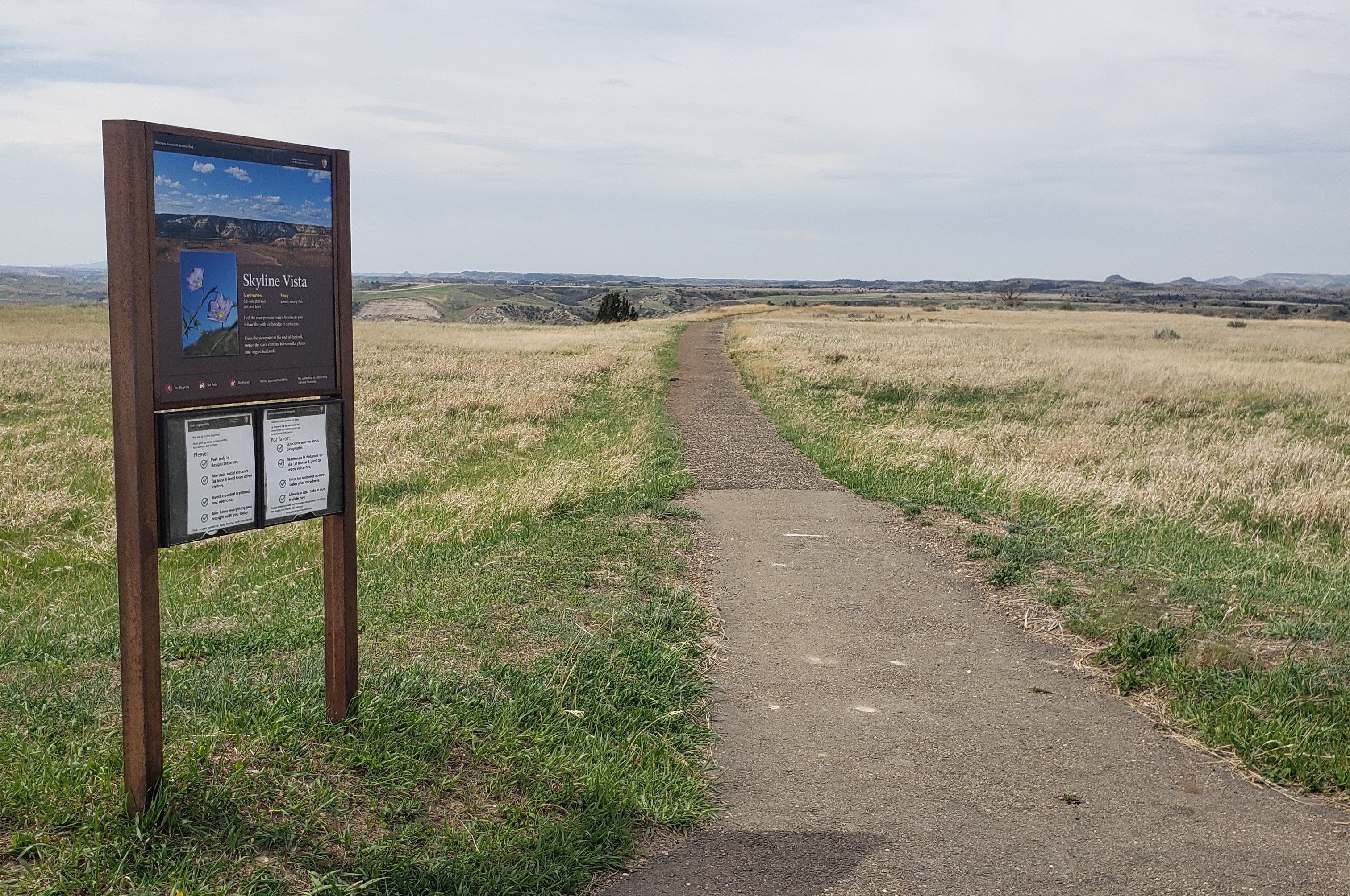
Skyline Vista Trail is a great way to start your visit to Theodore Roosevelt National Park's South Unit. This accessible 0.1 mile round-trip trail is located just a little more than four miles into the park and gives wonderful views of the western horizon.
It is illegal to remove any resource from a national park. Leave any flower, stone, or other object where you find it so that other visitors can enjoy it as well.
It is illegal to carve, paint, or otherwise alter anything in a national park.
Pets Pets are welcome in Theodore Roosevelt National Park. However, they are only allowed in certain areas. Leashed pets may be walked along roads and road shoulders, parking areas, and in campgrounds and picnic areas. More information: Visiting with Pets .
Accessibility Skyline Vista Trail is a fully paved and accessible trail. Accessible parking is located right at the trailhead. Service animals are allowed, but must be on a leash no longer than 6 feet.