
Painted Canyon Trail
Trailhead Painted Canyon Trailhead 2,773 ft Drive there
Hike the Painted Canyon Nature Trail 1 mi loop · the Park Service's write-up
30-80 Minutes · no dogs · season Trail conditions may be dangerous or slippery due to inclement weather. Speak to a ranger for more details.
Start Painted Canyon Nature Trail Trailhead
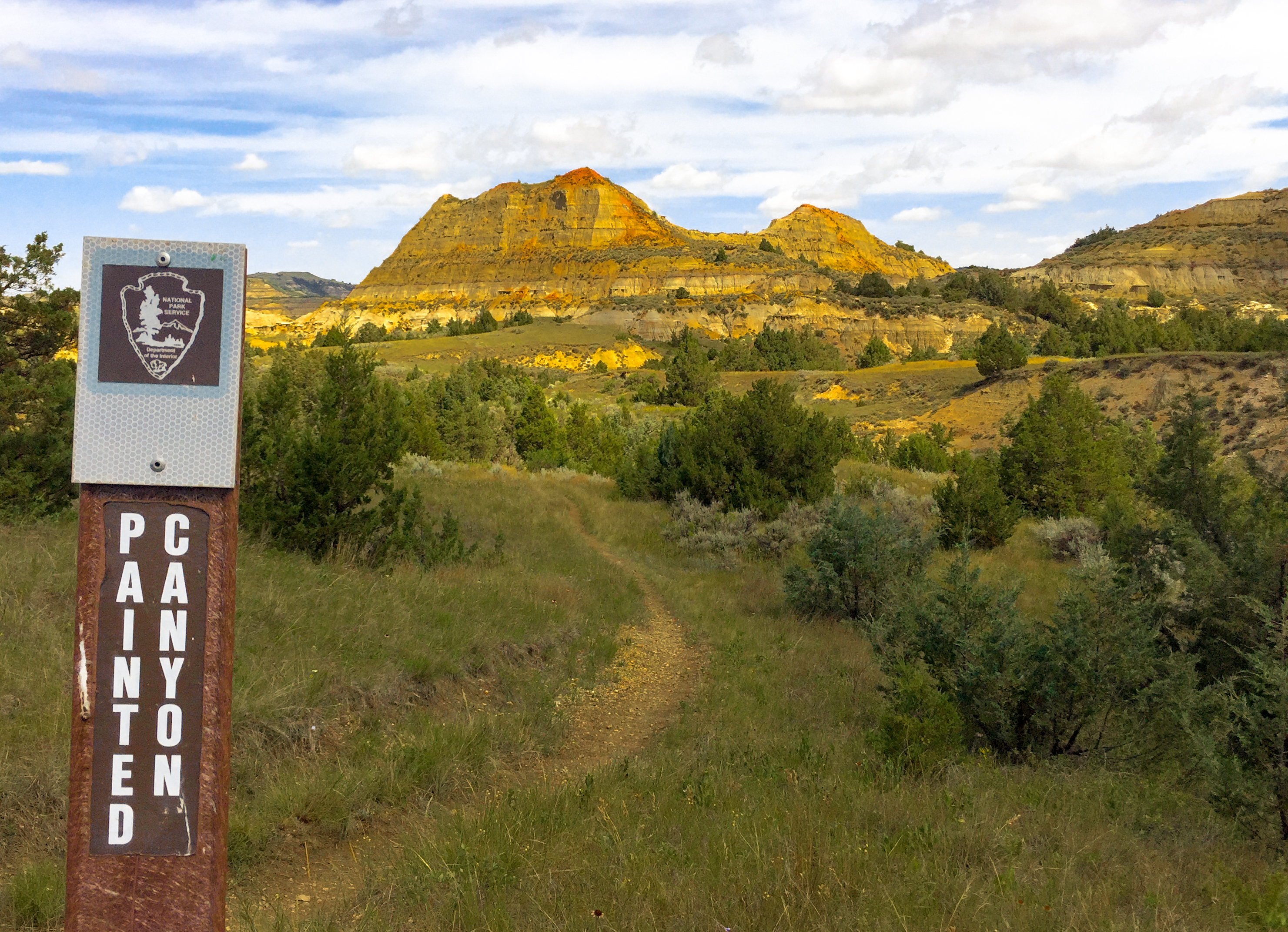
For visitors arriving from the east, Painted Canyon is a dramatic introduction to the badlands of North Dakota. Named for its vivid layers, it's also home to one of the most popular trails in the park, a 1-mile loop that drops down into the canyon. Winding through juniper and wildflowers, crossing cracked washes and showcasing ongoing erosion, the Painted Canyon Nature Trail offers a moderate challenge with massive rewards.
Proper footwear is recommended.
It is illegal to remove any resource from a national park. Leave any flower, stone, or other object where you find it so that other visitors can enjoy it as well.
It is illegal to carve, paint, or otherwise alter anything in a national park.
Accessibility Painted Canyon Nature Trail is an unpaved trail which includes uneven footing, steps, and potential slip hazards. Proper footwear is recommended. Service animals are allowed, but must be on a leash no longer than 6 feet.