
Achenbach Trail
ViewsExhibits
Along the way Wayside Exhibit - "Roosevelt and the Boat Thieves" Achenbach View Oxbow Overlook Oxbow Overlook Sperati Point View
Trailhead Oxbow Overlook Trailhead 2,405 ft Drive there
Hiking in the North Unit the Park Service's write-up
no dogs · season The park is open year-round. However, hiking when the ground is wet can be dangerous; prepare for bentonite clay to be extreme mud if wet (sticky and slick).
Start Theodore Roosevelt National Park - North Unit
Trail and Information Guide
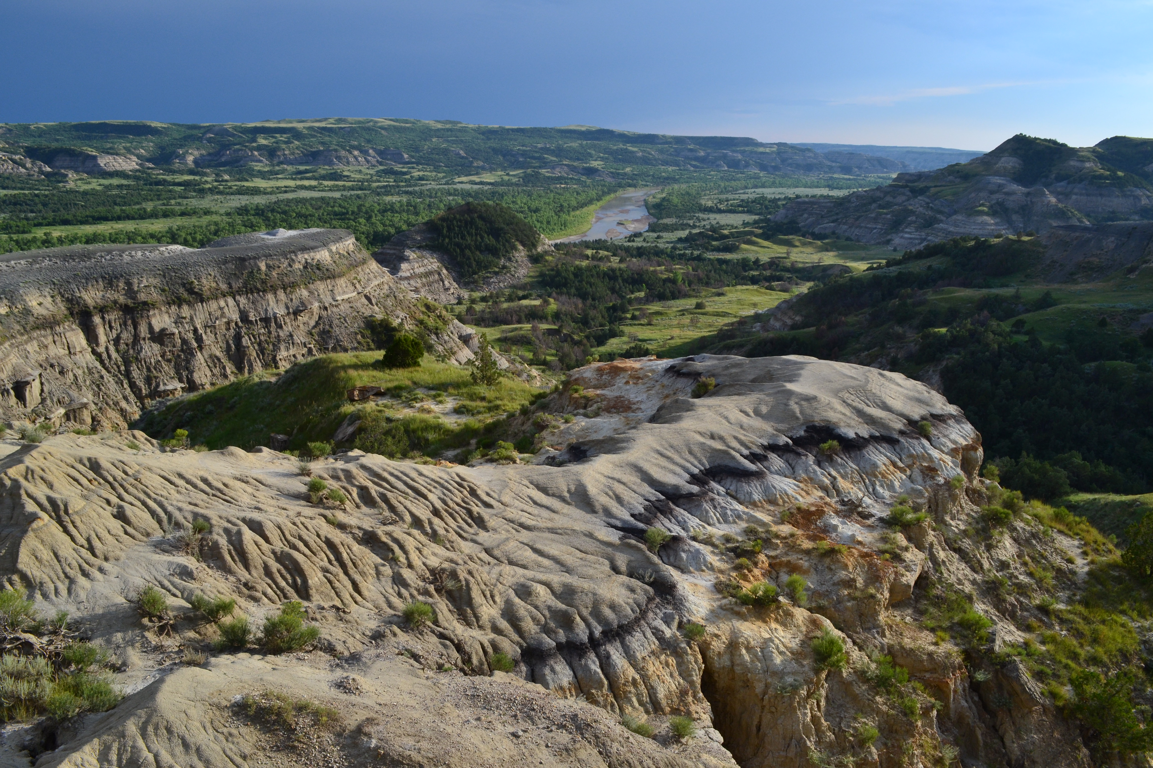
Known for its dramatic scenery and wilderness character, hiking trails in the North Unit offer opportunities for solitude and discovery.
From paved nature trails to rugged backcountry trails, there are many options to fit all levels of hikers.
Are you a nature enthusiast looking for a casual hike to learn more about the park’s resources? Try one of the park’s short nature trails!
Maybe you’re looking for an adventurous wilderness experience? Explore options for backcountry trails that traverse rugged badlands terrain.
Pets Pets are not allowed on trails. Pets can only be on 6 foot leashes where cars can go; roadway, scenic pulloffs, and picnic areas/campgrounds.
Accessibility The Little Mo Nature Trail under Nature Trails Tile below is an accessible trail.