
Wildcat Ridge Trail
Riprap - Wildcat Ridge the Park Service's write-up
8-9 Hours · dogs allowed
Start South District (Mile 90 or 92.1)
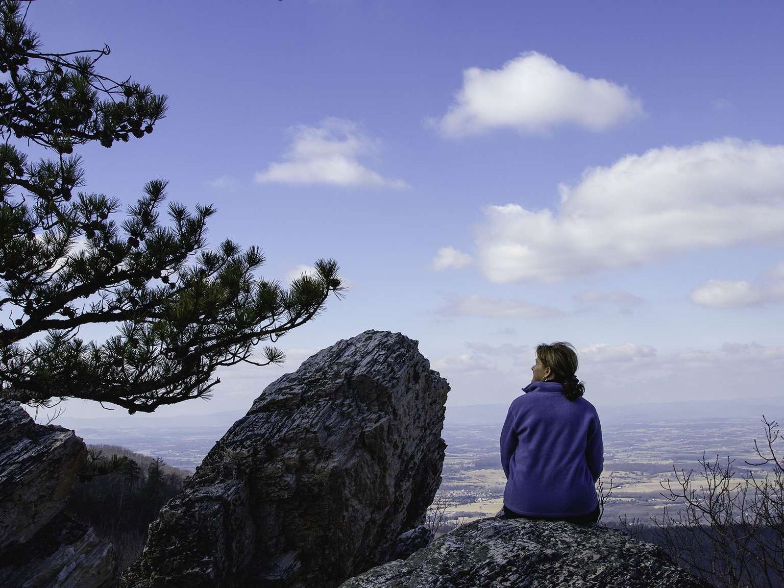
You may choose start this hike at either the Riprap parking area or the Wildcat Ridge parking area. No matter which route you choose, this hike will take you through the forests of the Shenandoah Wilderness and over several stream crossings, while offering beautiful views of the hollows and valleys to the west and north.
Distance: 9.8-mile circuit hike
Difficulty: Very Strenuous (explanation of our hiking difficulty scale )
Hiking Time: 8 hours 15 minutes
Elevation Gain: 2,365 feet
Hike Description - From Riprap Parking
From the trailhead at the Riprap parking area (mile 90), follow the Appalachian Trail north.
Turn left on Riprap Trail, continuing past Cavalry Rocks and Chimney Rocks.
Turn left on Wildcat Ridge Trail.
Take another left on the A.T. north, and return to your starting point.
Hike Description - From Wildcat Ridge Parking
From the trailhead at the Wildcat Ridge parking area (mile 92.1), take the Wildcat Ridge Trail past its intersection with the Appalachian Trail.
Turn right onto Riprap Trail.
Take another right on the A.T. south.
Turn left on Wildcat Ridge Trail to return to your starting point.
Accessibility This trail does not meet ADA accessibility guidelines.