
National Park · Virginia
Trails in Shenandoah National Park
317 named trails · 345 miles · 42 with the Park Service's own write-up. The lines, trailheads and points are the Park Service's; the write-ups are the Service's own words; the climbing is read from USGS elevation along each line.
317 trails, A to Z.
AT Access-Big Meadows Amphitheater
AT Access-Big Meadows CG
AT Access-Big Meadows PG
AT Access-Blackrock Area Parking
AT Access-Corbin Cabin Parking
AT Access-Crescent Rock
Views
Along the way Cresent Rock
AT Access-Dundo PG
Picnic areas
Along the way Dundo Picnic Area
AT Access-Fishers Gap Overlook
AT Access-Jeremys Run Trail
AT Access-Jewell Hollow Overlook
Views
Along the way Jewell Hollow
AT Access-Jewell Hollow Overlook North
AT Access-Keyser Run Spur Trail
AT Access-Lewis Mtn Campground
AT Access-Lewis Mtn Picnic Area
AT Access-Little Stony Man Parking
AT Access-Panorama
AT Access-Riprap Parking
AT Access-Rock Spring Cabin Parking
AT Access-Rockfish Spur Trail - South
AT Access-Stony Man Overlook
AT Access-Timber Hollow Overlook
Views
Along the way Timber Hollow
Austin Mountain Trail
Beahms Gap Loop Trail
Views
Along the way Beahms Gap
Bearfence Hut Campsite Trail
Shelters
Along the way Bearfence Hut Shelter
Bearfence Hut Privy Trail
Shelters
Along the way Bearfence Hut Shelter
Bearfence Loop Trail
Bearfence Rock Scramble the Park Service's write-up
1-2 Hours · no dogs
Start Central District (Mile 56.4)
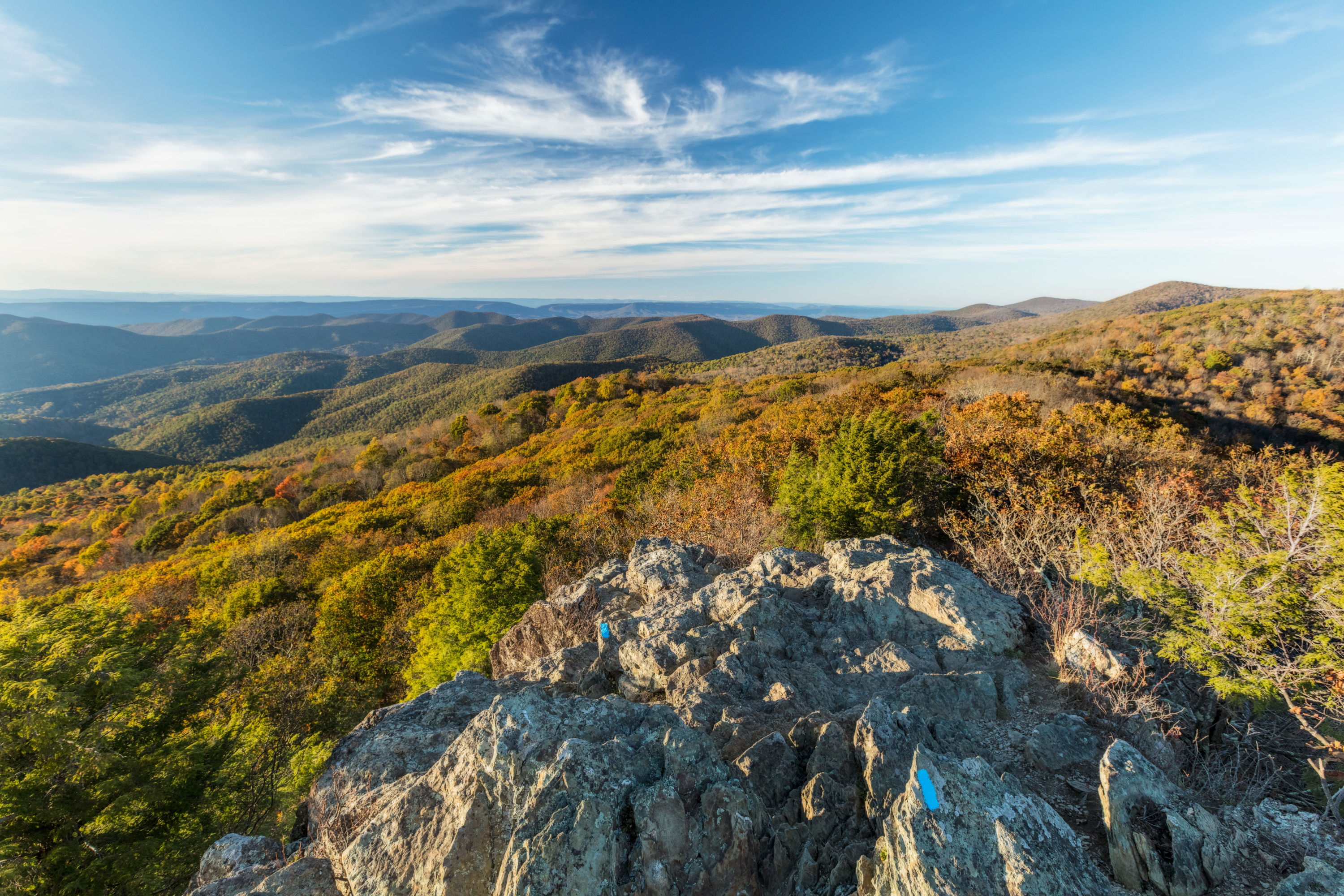
Pets are not allowed on this hike. Bearfence is an exhilarating rock scramble that leads to a magnificent 360-degree view of the Virginia Piedmont and Shenandoah Valley. If you have a fear of heights, it’s not for you. And if it’s wet or icy, it’s not safe!
Distance: 1.4-mile round trip hike
Difficulty: Moderate (explanation of our hiking difficulty scale )
Hiking Time: 1 hour
Elevation Gain: 311 feet
Hike Description
From the Bearfence parking area (mile 56.4), cross Skyline Drive and climb the stairs up the bank.
At the trail post, continue straight ahead on Bearfence Loop Trail to the top of the rock scramble.
After the rock scramble, turn right onto the connector trail.
Go right on the Appalachian Trail north.
At the intersection, turn left and return to the parking lot.
Pets Pets are not allowed on this hike.
Accessibility Although pets are not allowed on Bearfence Loop Trail, service animals are welcome. This trail does not meet ADA accessibility guidelines.
Bearfence Viewpoint the Park Service's write-up
1 Hour · no dogs
Start Central District (Mile 56.4)
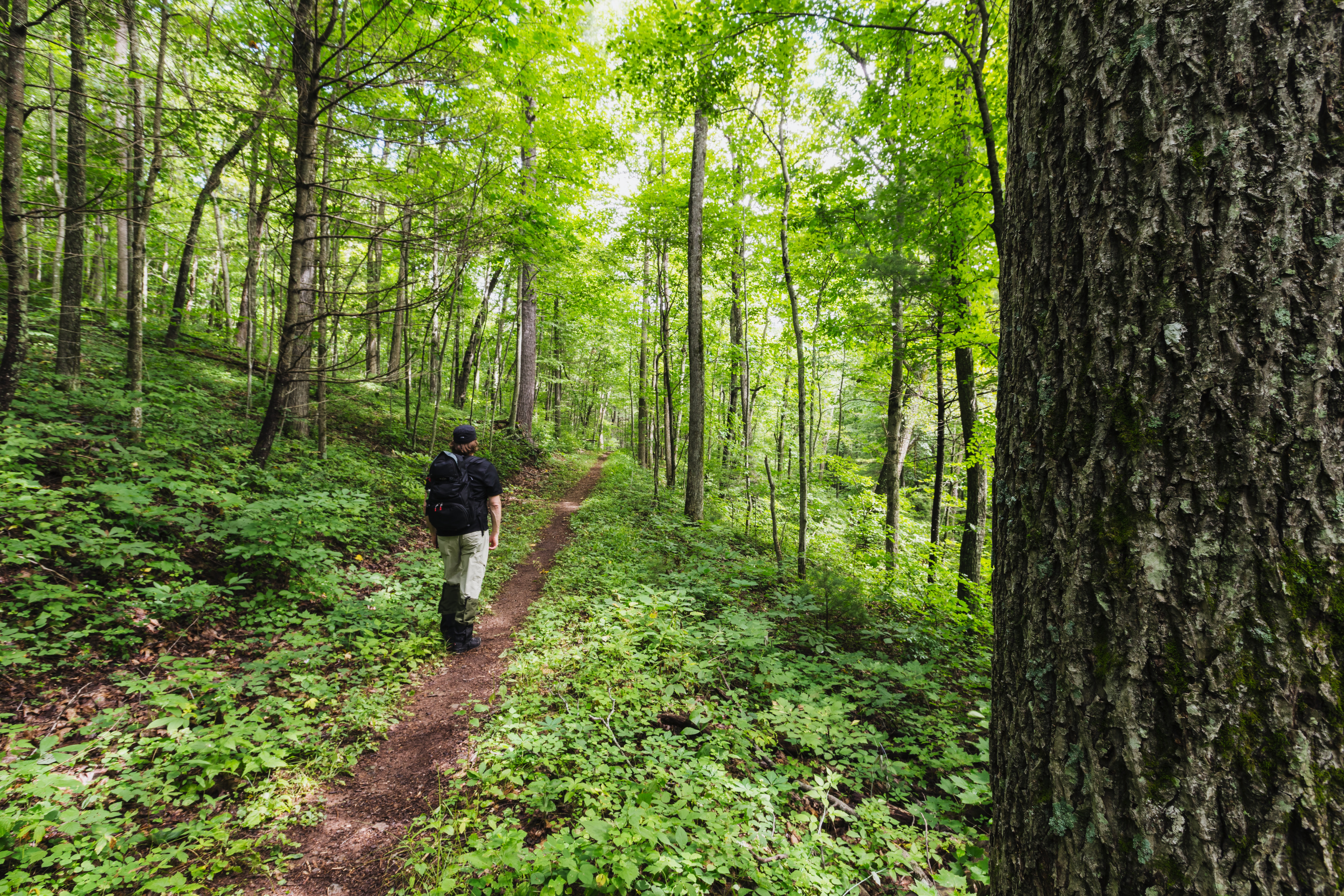
Pets are not allowed on this hike. This route takes you to a 180-degree view of the Shenandoah Valley without a rock scramble.
Distance: 1.1-mile round trip hike
Difficulty: Easiest (explanation of our hiking difficulty scale )
Hiking Time: 45 minutes
Elevation Gain: 305 feet
Hike Description
From the Bearfence parking area (mile 56.4), cross Skyline Drive and climb the stairs up the bank.
At the trail post, turn right onto the Appalachian Trail south.
Go left on the connector trail.
Turn right onto Bearfence Loop Trail. You’ll see the viewpoint on your right.
Turn around, and retrace your steps back to the parking area.
Pets Pets are not allowed on this hike.
Accessibility Although pets are not allowed on Bearfence Loop Trail, service animals are welcome.
Bearfence Loop Trail - AT Cutoff
Beecher Ridge Trail
Big Branch Falls Trail
Big Devils Stairs Trail
Big Meadows Campground - paved surfaces
Campgrounds
Along the way Big Meadows Campground
Big Meadows Campground Trail
Ranger stations
Along the way Big Meadows Campground Ranger Station
Big Meadows Campground Trail - BGPG999SF001
Big Meadows Campground Trail - BGPG999SF005
Big Meadows Campground Trail - BMPG000SF002
Big Meadows Campground Trail - BMPG000SF003
Big Meadows Campground Trail - BMPG999SF004
Big Meadows Campground Trail - BMPG999SF008
Big Meadows Campground Trail - BMPG999SF009
Picnic areas
Along the way Big Meadows Picnic Area
Big Meadows Campground Trail - BMPG999SF010
Picnic areas
Along the way Big Meadows Picnic Area
Big Meadows Campground Trail - BMPG999SF011
Picnic areas
Along the way Big Meadows Picnic Area
Big Meadows Campground Trail - BMPG999SF012
Picnic areas
Along the way Big Meadows Picnic Area
Big Meadows Campground Trail - BMPG999SF013
Picnic areas
Along the way Big Meadows Picnic Area
Big Meadows Campground Trail - BMPG999SF014
Picnic areas
Along the way Big Meadows Picnic Area
Big Meadows Campground Trail - BMPG999SF015
Picnic areas
Along the way Big Meadows Picnic Area
Big Meadows Campground Trail - BMPG999SF016
Picnic areas
Along the way Big Meadows Picnic Area
Big Meadows Campground Trail - BMPG999SF017
Big Meadows Campground Trail - BMPG999SF018
Picnic areas
Along the way Big Meadows Picnic Area
Big Meadows Campground Trail - BMPG999SF019
Picnic areas
Along the way Big Meadows Picnic Area
Big Meadows Campground Trail - tent walkin sites
Ranger stations
Along the way Big Meadows Campground Ranger Station
Big Meadows Historic Cabins Trail
Big Meadows Main Walkway
Ranger stations
Along the way Big Meadows Campground Ranger Station
Big Run Loop Trail-North
Views
Along the way Big Run
Big Run Loop Trail-South
Big Run Portal Trail
Blackrock Hut Campsite Trail
Shelters
Along the way Blackrock Shelter
Blackrock Hut Privy Trail
Shelters
Along the way Blackrock Shelter
Blackrock Hut Spring Trail
Shelters
Along the way Blackrock Shelter
Blackrock Hut Trail
Shelters
Along the way Blackrock Shelter
Blackrock Spur Trail
Blackrock Trail
Blackrock Summit the Park Service's write-up
1 Hour · dogs allowed
Start South District (Mile 84.4)
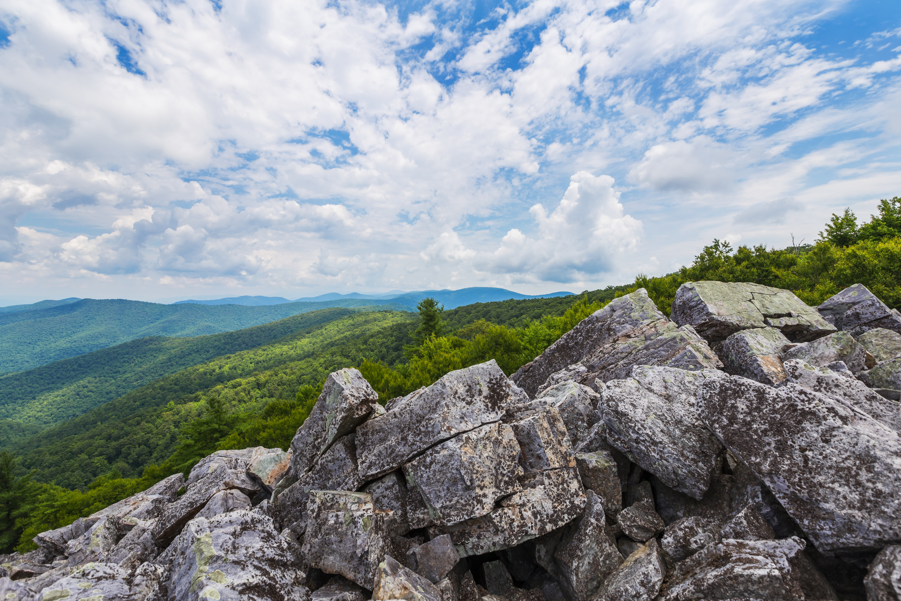
A short hike to a viewpoint on top of a rocky talus slope with incredible views of the Shenandoah Valley, Massanutten Mountain, and beyond. This hike is also a designated TRACK Trail, featuring a self-guided brochure and informational sign that turns your visit into a fun and exciting outdoors experience for kids of all ages. To find out more information about TRACK Trails and to log your adventure, visit the Kids in Parks website .
Distance: 1-mile circuit hike
Difficulty: Easiest (explanation of our hiking difficulty scale )
Hiking Time: 45 minutes
Elevation Gain: 175 feet
Hike Description
From the Blackrock parking area (mile 84.4), follow the Appalachian Trail south.
At the trail post, turn right and continue to the boulder field with a great view.
Continue south on the A.T. around the slope.
At the intersection, turn left onto the Blackrock Hut Road-Trayfoot Mountain Trail and follow back to the parking lot
Accessibility This trail does not meet ADA accessibility guidelines.
Bluff Trail
Bluff Trail Access
Shelters
Along the way Gravel Spring Shelter
Broad Hollow Trail
Brown Mtn Trail
Views
Along the way Brown Mountain
Browntown Trail
Buck Hollow Trail
Buck Ridge Trail
Byrd's Nest #3 Campsite Trail
Shelters
Along the way Byrd's Nest #3 Shelter
Byrd's Nest #3 Campsite Trail #1
Shelters
Along the way Byrd's Nest #3 Shelter
Byrd's Nest #3 Campsite Trail #2
Shelters
Along the way Byrd's Nest #3 Shelter
Byrd's Nest #3 Campsite Trail #3
Shelters
Along the way Byrd's Nest #3 Shelter
Byrds Nest #1 Access Trail
Shelters
Along the way Ragged Run Shelter
Byrds Nest #3 - Spring Trail
Camp Hoover Bridge Trail
Cat Knob Trail
Catlett Mtn Trail
Catlett Spur Trail
Cave/Falls Spur Trail
Cedar Run Trail
Cedar Run - Whiteoak Circuit the Park Service's write-up
6-7 Hours · dogs allowed
Start Central District (Mile 45.6)
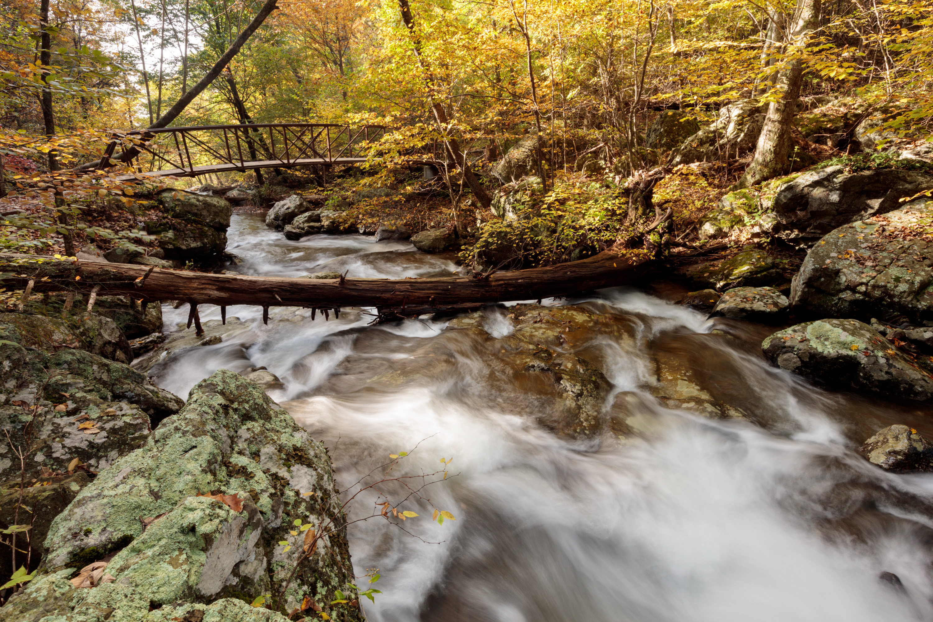
This hike is very challenging, although those who do it are rewarded with exceptional cascades and waterfalls. You will also hike through the Shenandoah Wilderness along the Cedar Run Trail. Be prepared for several stream crossings.
Distance: 8.1-mile round trip hike
Difficulty: Very strenuous ( hiking difficulty scale )
Hiking Time: 7 hours
Elevation Gain: 2,794 feet
Hike Description
From the Hawksbill Gap Parking Area (mile 45.6), descend via the Cedar Run Trail.
At the bottom of the drainage, go left on the Whiteoak Canyon Trail.
After having passed six waterfalls on your ascent, you will come to an intersection with the Whiteoak Canyon Fire Road/Horse Trail. Turn left.
Follow the road to the Skyland-Big Meadows Horse Trail.Turn left once more to return to the parking area
Accessibility This trail does not meet ADA accessibility guidelines.
Compton Gap Trail
Compton Peak the Park Service's write-up
1-2 Hours · dogs allowed
Start North District (Mile 10.4)
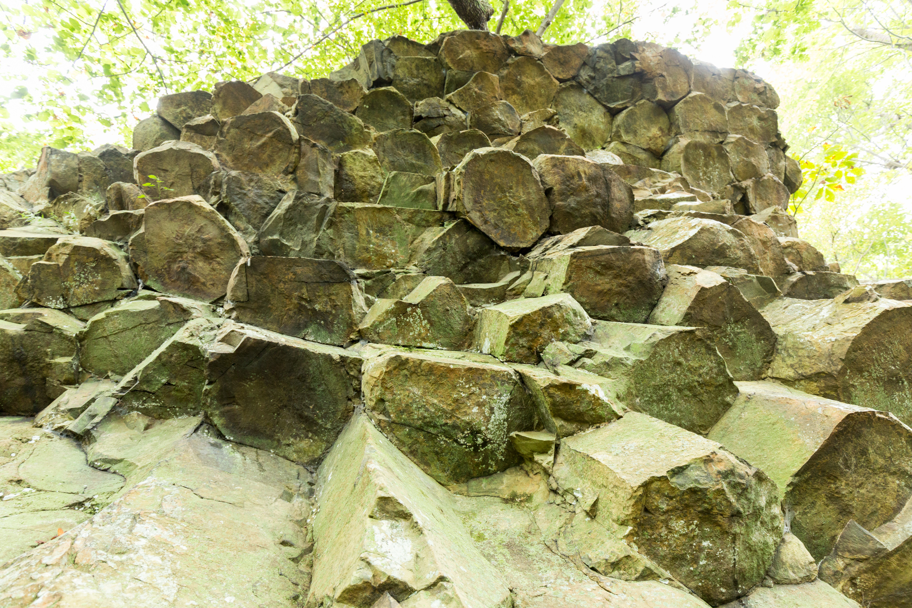
A hike through the forest along the Appalachian Trail to a western view and a great look at columnar jointing, an exciting geologic feature.
Distance: 2.4-mile round trip hike
Difficulty: Moderate (explanation of our hiking difficulty scale )
Hiking Time: 1 hours 45 minutes
Elevation Gain: 855 feet
Hike Description
From the Compton Gap Parking Area (mile 10.4), cross Skyline Drive and look for the concrete trail marker indicating the Appalachian Trail (A.T.).
Take the A.T. south to the intersection and go right. This will lead you to the western viewpoint.
Turn around, and return to the same intersection.
Continue straight to the eastern viewpoint. From this viewpoint, you have the option of following the blue blazes below the cliff to see a prime example of columnar jointing, an amazing geological feature. It is well worth it, but be aware that this part of the hike is rough and rocky.
Return back to the parking area by taking the A.T. north from the intersection.
Accessibility This trail does not meet ADA accessibility guidelines.
Fort Windham Rocks the Park Service's write-up
1 Hour · dogs allowed
Start North District (Mile 10.4)
A short hike along the Appalachian Trail that leads to an interesting geologic feature: deeply split boulders rising 50 feet above ground.
Distance: 0.8-mile round trip hike
Difficulty: Easiest (explanation of our hiking difficulty scale )
Hiking Time: 30 minutes
Elevation Gain: 130 feet
Hike Description
From the Compton Gap Parking Area (mile 10.4), follow the Appalachian Trail (A.T.) north.
At the intersection with the Dickey Ridge Trail, turn left.
In about 300 yards, look for Fort Windham Rocks on the right.
Return to the parking area the same way you came.
Accessibility This trail does not meet ADA accessibility guidelines.
Compton Peak East Trail
Compton Peak West Trail
Conway River Trail
Corbin Cabin - Privy Trail
Corbin Cabin Cutoff Trail
Corbin Hollow Trail
Corbin Mtn Summit Trail
Corbin Mtn Trail
Crescent Rock Connector
Views
Along the way Cresent Rock
Crescent Rock Trail
Crusher Ridge Trail
Dark Hollow Falls Trail
Dark Hollow Falls the Park Service's write-up
1-2 Hours · no dogs
Start Central District (Mile 50.7)
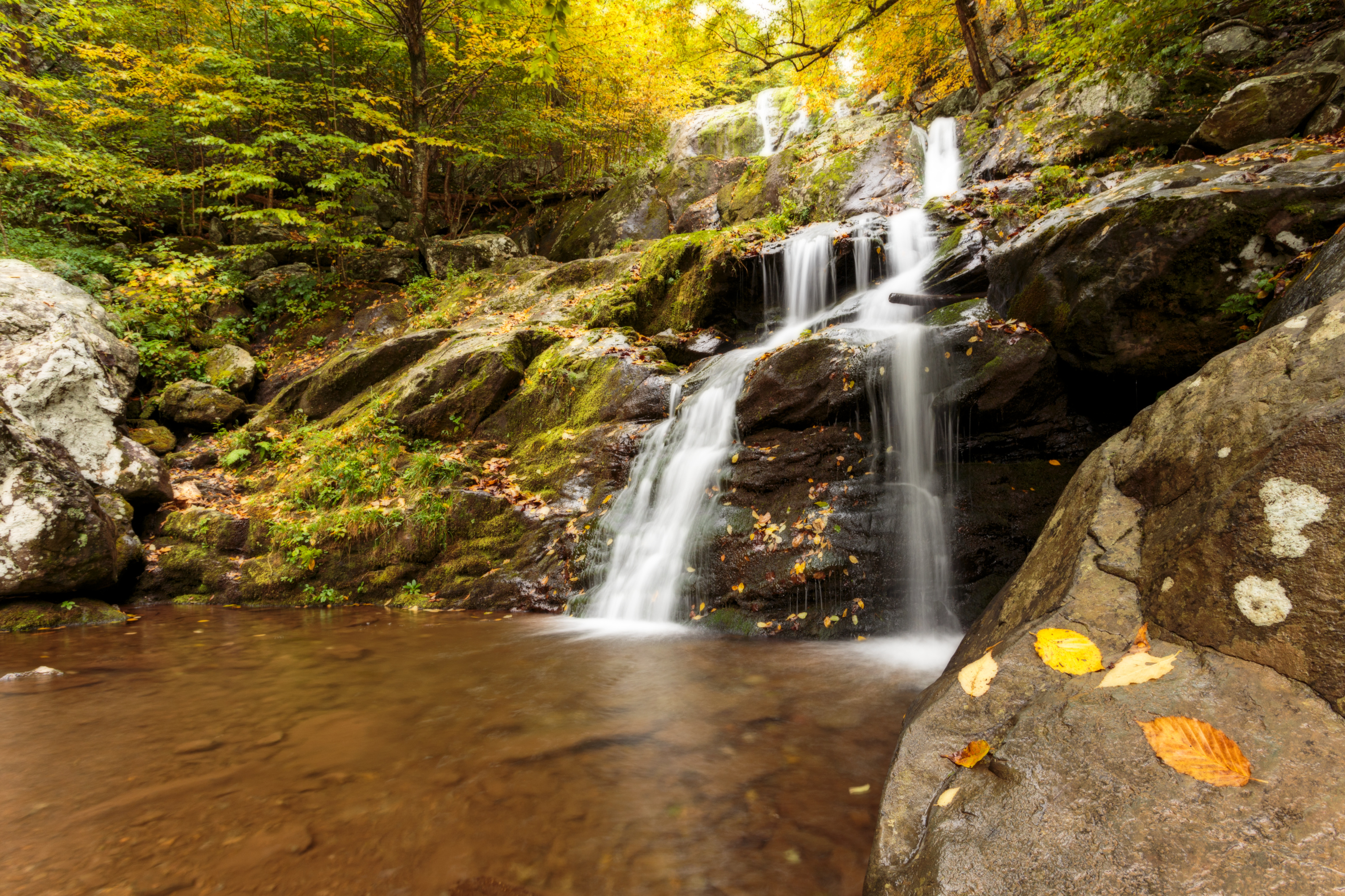
Pets are not allowed on this hike. The steep descent following a stream to this beautiful waterfall is one of the Park’s most traveled trails. This trail is short, but very steep and rocky. The return climb is challenging! Know your limits and take your time, especially when the trail is wet and slippery.
Distance: 1.4-mile circuit hike
Difficulty: Moderate ( hiking difficulty scale )
Hiking Time: 1 hour 15 minutes
Elevation Gain: 440 feet
Hike Description
From the trailhead at the Dark Hollow Falls Parking Area (mile 50.7), descend 0.75-mile down to the falls.
Return by the same route, up to the parking area.
Pets Pets are not allowed on this hike. If you have a pet, you may choose to hike the Rose River Loop trail instead, where pets are allowed. This hike is accessible from Fishers Gap Overlook (mile 49.4).
Accessibility Although pets are not allowed on Dark Hollow Falls trail, service animals are welcome.
Devils Ditch Hunter Access Trail
Dickey Ridge Horse Trail
Dickey Ridge Picnic Ground Trail
Picnic areas
Along the way Dickey Ridge Picnic Area
Dickey Ridge Trail
Fox Hollow Trail the Park Service's write-up
1 Hour · no dogs
Start North District (Mile 4.6)
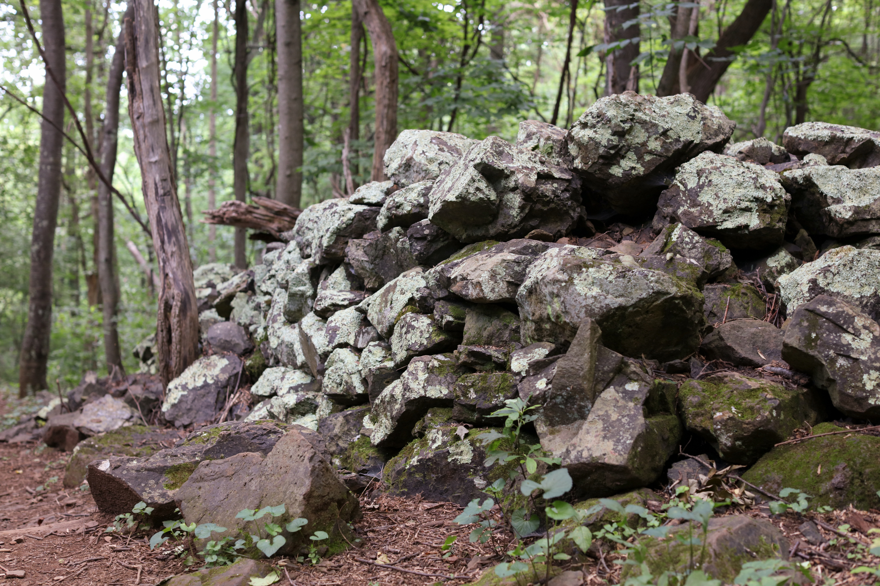
Pets are not allowed on this hike. Discover the cultural history of Shenandoah National Park as you pass by historic rock walls, a cemetery, and periwinkles planted by former residents.
This hike is also a designated TRACK Trail, featuring a self-guided brochure and informational sign that turns your visit into a fun and exciting outdoors experience for kids of all ages. To find out more information about TRACK Trails and to log your adventure, visit the Kids in Parks website .
Distance: 1.2-mile circuit hike
Difficulty: Easiest (explanation of our hiking difficulty scale )
Hiking Time: 45 minutes
Elevation Gain: 310 feet
Hike Description
From the trailhead, located across the Skyline Drive from Dickey Ridge Visitor Center (mile 4.6), go left onto Dickey Ridge Trail,
Turn right onto Fox Hollow Trail.
Stay on Fox Hollow Trail—past rock piles and the Fox family cemetery—back to your starting point.
Pets Pets are not allowed on this hike.
Accessibility Although pets are not allowed on Fox Hollow Trail, service animals are welcome.
Dickey Ridge Visitor Center
Visitor centers
Along the way Dickey Ridge Visitor Center
Fox Hollow Trail the Park Service's write-up
1 Hour · no dogs
Start North District (Mile 4.6)
Pets are not allowed on this hike. Discover the cultural history of Shenandoah National Park as you pass by historic rock walls, a cemetery, and periwinkles planted by former residents.
This hike is also a designated TRACK Trail, featuring a self-guided brochure and informational sign that turns your visit into a fun and exciting outdoors experience for kids of all ages. To find out more information about TRACK Trails and to log your adventure, visit the Kids in Parks website .
Distance: 1.2-mile circuit hike
Difficulty: Easiest (explanation of our hiking difficulty scale )
Hiking Time: 45 minutes
Elevation Gain: 310 feet
Hike Description
From the trailhead, located across the Skyline Drive from Dickey Ridge Visitor Center (mile 4.6), go left onto Dickey Ridge Trail,
Turn right onto Fox Hollow Trail.
Stay on Fox Hollow Trail—past rock piles and the Fox family cemetery—back to your starting point.
Pets Pets are not allowed on this hike.
Accessibility Although pets are not allowed on Fox Hollow Trail, service animals are welcome.
Dickey Ridge Visitor Center Trail
Visitor centers
Along the way Dickey Ridge Visitor Center
Fox Hollow Trail the Park Service's write-up
1 Hour · no dogs
Start North District (Mile 4.6)
Pets are not allowed on this hike. Discover the cultural history of Shenandoah National Park as you pass by historic rock walls, a cemetery, and periwinkles planted by former residents.
This hike is also a designated TRACK Trail, featuring a self-guided brochure and informational sign that turns your visit into a fun and exciting outdoors experience for kids of all ages. To find out more information about TRACK Trails and to log your adventure, visit the Kids in Parks website .
Distance: 1.2-mile circuit hike
Difficulty: Easiest (explanation of our hiking difficulty scale )
Hiking Time: 45 minutes
Elevation Gain: 310 feet
Hike Description
From the trailhead, located across the Skyline Drive from Dickey Ridge Visitor Center (mile 4.6), go left onto Dickey Ridge Trail,
Turn right onto Fox Hollow Trail.
Stay on Fox Hollow Trail—past rock piles and the Fox family cemetery—back to your starting point.
Pets Pets are not allowed on this hike.
Accessibility Although pets are not allowed on Fox Hollow Trail, service animals are welcome.
Doyle River Cabin Ash Pit Access Trail
Doyle River Cabin Privy Access Trail
Doyles River Cabin Trail
Doyles River Trail
Browns Gap the Park Service's write-up
7-8 Hours · dogs allowed
Start South District (Mile 83)
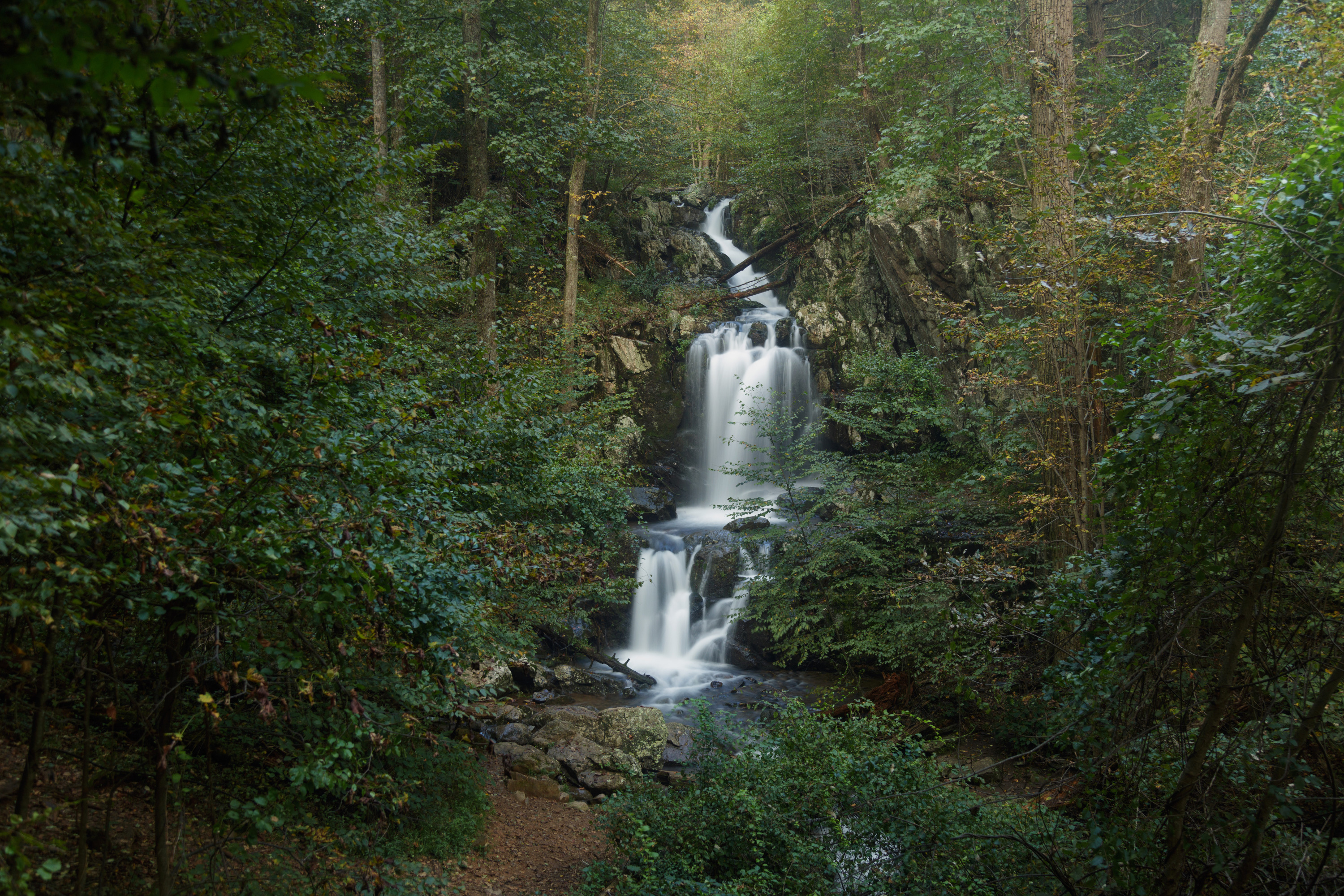
This circuit hike leads you to Upper and Lower Doyles River Falls, as well as Jones Run Falls.
Distance: 6.5-mile circuit hike
Difficulty: Moderately Strenuous (explanation of our hiking difficulty scale )
Hiking Time: 7 hours
Elevation Gain: 1,400 feet
Hike Description
From the Browns Gap Parking Area (mile 83), cross Skyline Drive and take Browns Gap Fire Road to its intersection with Doyles River Trail.
Turn right and connect with Jones Run Trail.
At the Jones Run parking area, take a right onto the Appalachian Trail.
Follow the A.T. back to your starting point.
Accessibility This trail does not meet ADA accessibility guidelines.
Doyles River Falls the Park Service's write-up
2-3 Hours · dogs allowed
Start South District (Mile 81.1)
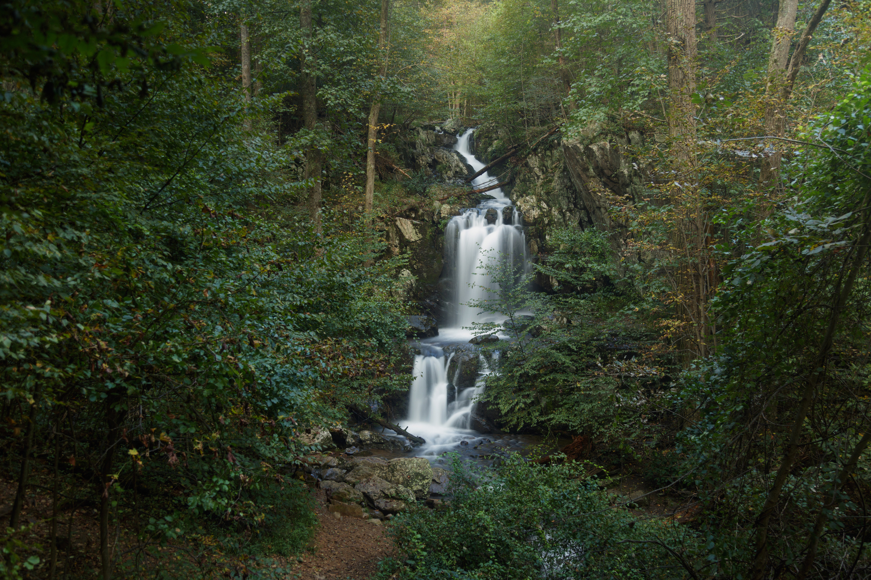
This beautiful trek takes you along cool, clear mountain streams to two unique waterfalls. Be prepared for a stream crossing.
Distance: 3.3-mile round trip hike
Difficulty: Moderate (explanation of our hiking difficulty scale )
Hiking Time: 2 hours 15 minutes
Elevation Gain: 1,189 feet
Hike Description
From the Doyles River Parking Area (mile 81.1), take the blue-blazed Doyles River Trail.
Cross the Appalachian Trail and pass the access trails to Doyles River Cabin and Browns Gap Road.
Trail posts mark the locations of Upper and Lower Doyles River Falls.
Retrace your steps to return to the parking area.
Accessibility This trail does not meet ADA accessibility guidelines.
Doyles River Trail - Upper Falls Access
Dundo Group Campground Trail
Picnic areas
Along the way Dundo Picnic Area
Dundo Picnic Ground Trail
Eaton Hollow Trail
Views
Along the way Eaton Hollow
Elkwallow Picnic Ground Trail
Picnic areas
Along the way Elkwallow Picnic Area
Elkwallow Trail
Knob Mountain - Jeremys Run the Park Service's write-up
7-8 Hours · dogs allowed
Start North District (Mile 24)
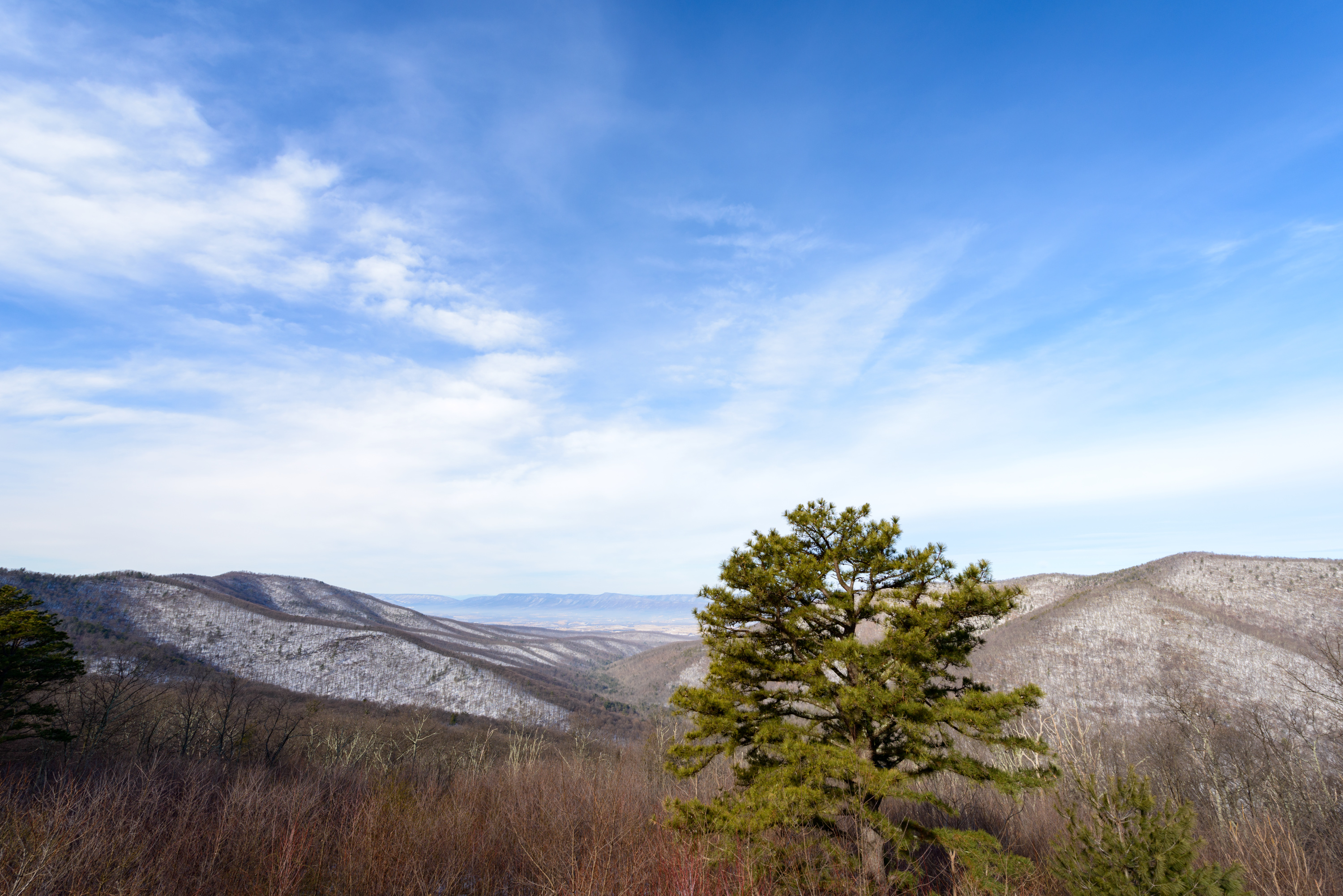
Starting at Elkwallow Wayside, this hike goes around a beautiful area of the Park featuring one of the most picturesque streams in Shenandoah. The majority of this hike is in the Shenandoah Wilderness.
Distance: 6.0-mile circuit hike
Difficulty: Moderately Strenuous ( hiking difficulty scale )
Hiking Time: 7 hours 30 minutes
Elevation Gain: 1,303 feet
Hike Description
From the parking lot at Elkwallow Wayside (mile 24), take the Appalachian Trail (white-blazed) to its junction with Jeremys Run Trail (blue-blazed).
The A.T. goes sharply left here, but stay straight onto Jeremys Run Upper Trail.
Take a right onto the Knob Mountain Cutoff Trail.
Take another right on Knob Mountain Trail (yellow-blazed). Follow it to Mathews Arm Campground registration station.
Take the Elkwallow Trail back to your starting point at Elkwallow Wayside.
Accessibility This trail does not meet ADA accessibility guidelines.
Entry Run Trail
Five Tents Spur Trail - RPDN999SF002
Five Tents Trail - RPDN999SF001
Fork Mtn Horse Trail
Fork Mtn Trail
Fox Hollow Trail
Fox Hollow Trail the Park Service's write-up
1 Hour · no dogs
Start North District (Mile 4.6)
Pets are not allowed on this hike. Discover the cultural history of Shenandoah National Park as you pass by historic rock walls, a cemetery, and periwinkles planted by former residents.
This hike is also a designated TRACK Trail, featuring a self-guided brochure and informational sign that turns your visit into a fun and exciting outdoors experience for kids of all ages. To find out more information about TRACK Trails and to log your adventure, visit the Kids in Parks website .
Distance: 1.2-mile circuit hike
Difficulty: Easiest (explanation of our hiking difficulty scale )
Hiking Time: 45 minutes
Elevation Gain: 310 feet
Hike Description
From the trailhead, located across the Skyline Drive from Dickey Ridge Visitor Center (mile 4.6), go left onto Dickey Ridge Trail,
Turn right onto Fox Hollow Trail.
Stay on Fox Hollow Trail—past rock piles and the Fox family cemetery—back to your starting point.
Pets Pets are not allowed on this hike.
Accessibility Although pets are not allowed on Fox Hollow Trail, service animals are welcome.
Frazier Discovery Trail
Frazier Discovery Trail the Park Service's write-up
1-2 Hours · no dogs
Start South District (Mile 79.5)
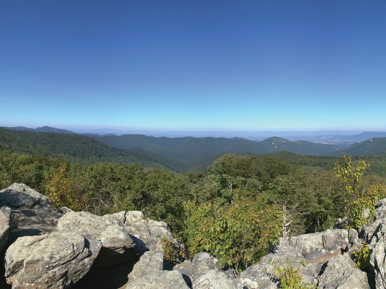
Pets are not allowed on this hike. This hike features several picturesque overlooks as it passes through woodlands of varying ages on Loft Mountain.
Distance: 1.2-mile circuit hike
Difficulty: Easiest (explanation of our hiking difficulty scale )
Hiking Time: 1 hour
Elevation Gain: 429 feet
Hike Description
From the north end of the Loft Mountain Wayside Parking Area (mile 79.5), cross Skyline Drive and follow the blue-blazed Frazier Discovery Trail.
Go right at the intersection and follow the steep uphill grade.
Turn left where the trail joins the Appalachian Trail, staying on the blue-blazed trail.
Turn left again at the next trail post to descend to your starting point.
Pets Pets are not allowed on this trail.
Accessibility Although pets are not allowed on Frazier Discovery Trail, service animals are welcome.
Frazier Discovery Trail Access
Frazier Discovery Vista Trail
Front Royal Connector Trail
Furnace Mountain Trail
Furnace Mtn Summit Trail
Furnace Spring Horse Trail
Gap Run Trail
Gravel Springs Hut Campsite Trail
Shelters
Along the way Gravel Spring Shelter
Gravel Springs Hut Privy Trail
Shelters
Along the way Gravel Spring Shelter
Gravel Springs Hut Road
Shelters
Along the way Gravel Spring Shelter
Gravel Springs Hut Trail
Shelters
Along the way Gravel Spring Shelter
Graves Mill Trail
Hannah Run Trail
Views
Along the way Pinnacle
Harris Hollow Trail
Harris Hollow Trail Access
Shelters
Along the way Gravel Spring Shelter
Hawksbill Gap Trail
Cedar Run - Whiteoak Circuit the Park Service's write-up
6-7 Hours · dogs allowed
Start Central District (Mile 45.6)
This hike is very challenging, although those who do it are rewarded with exceptional cascades and waterfalls. You will also hike through the Shenandoah Wilderness along the Cedar Run Trail. Be prepared for several stream crossings.
Distance: 8.1-mile round trip hike
Difficulty: Very strenuous ( hiking difficulty scale )
Hiking Time: 7 hours
Elevation Gain: 2,794 feet
Hike Description
From the Hawksbill Gap Parking Area (mile 45.6), descend via the Cedar Run Trail.
At the bottom of the drainage, go left on the Whiteoak Canyon Trail.
After having passed six waterfalls on your ascent, you will come to an intersection with the Whiteoak Canyon Fire Road/Horse Trail. Turn left.
Follow the road to the Skyland-Big Meadows Horse Trail.Turn left once more to return to the parking area
Accessibility This trail does not meet ADA accessibility guidelines.
Hawksbill Loop the Park Service's write-up
2-3 Hours · dogs allowed
Start Central District (Mile 45.5)
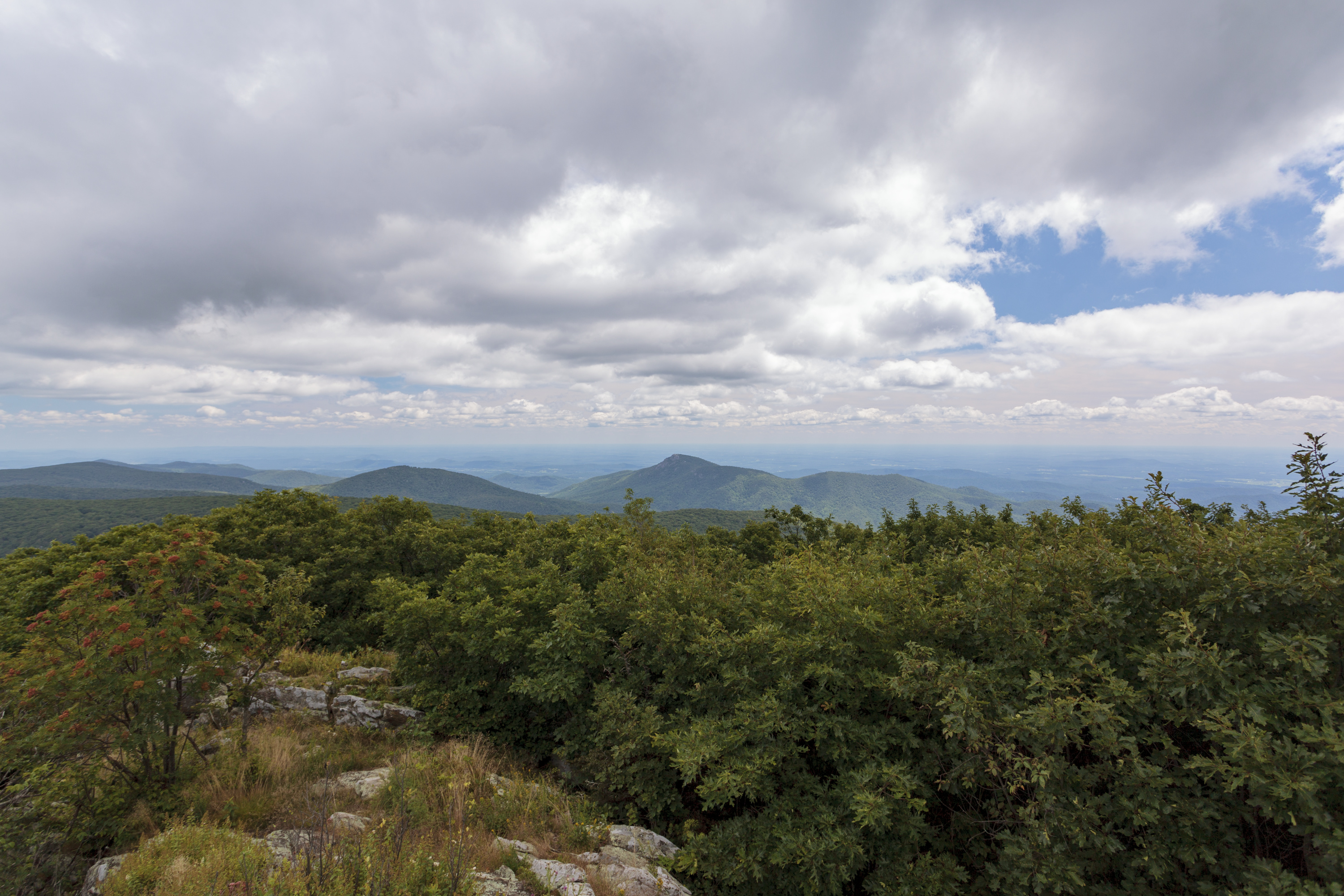
A circuit hike to Shenandoah’s highest peak. The viewing platform on top of Hawksbill offers a magnificent 360-degree view of the Shenandoah Valley, the Blue Ridge Mountains, and the Virginia Piedmont.
Note that very limited closures are in effect in an effort to prevent further degradation of important outcrop ecosystems on Hawksbill.
Distance: 2.9-mile circuit hike
Difficulty: Moderate ( hiking difficulty scale )
Hiking Time: 2 hour
Elevation Gain: 860 feet
Hike Description
From the north end of the Hawksbill Gap Parking Area (mile 45.5), take the short connector trail to the Appalachian Trail (A.T.).
At the trail post, turn left onto the A.T. south.
Continue on the A.T. south to the trail post indicating the Salamander Trail. Go left onto the blue-blazed Salamander Trail.
At the next trail junction, turn left onto the Upper Hawksbill Trail. Be sure to take the short trail past the shelter to the viewing platform.
To return to the parking area, be sure to take the blue-blazed Lower Hawksbill Trail, not the Upper Hawksbill Trail.
Accessibility This trail does not meet ADA accessibility guidelines.
Hawksbill Summit the Park Service's write-up
1-2 Hours · dogs allowed
Start Central District (Mile 45.5)
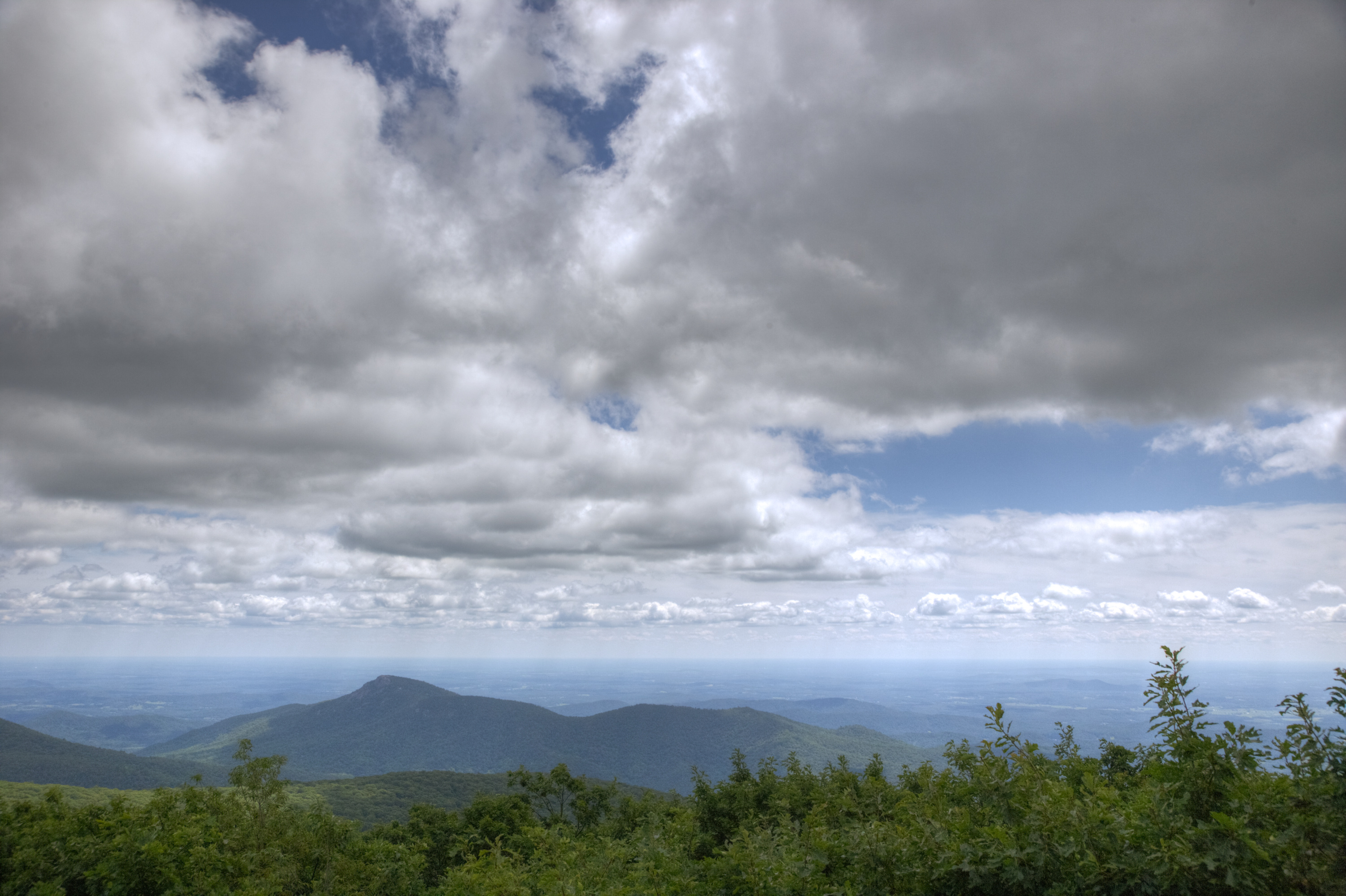
A shorter, yet steeper, route to Shenandoah’s highest peak. The viewing platform on top of Hawksbill offers a magnificent 360-degree panoramic view of the Shenandoah Valley, the Blue Ridge Mountains, and the Virginia Piedmont.
Note that very limited closures are in effect in an effort to prevent further degradation of important outcrop ecosystems on Hawksbill.
Distance: 1.7-mile round trip hike
Difficulty: Moderate ( hiking difficulty scale )
Hiking Time: 1 hour 15 minutes
Elevation Gain: 690 feet
Hike Description
From the Hawksbill Gap Parking Area (mile 45.5), take the Lower Hawksbill Trail to the Byrds Nest 2 Shelter
Follow the trail to the viewing platform.
Retrace your steps to return to your starting point.
Accessibility This trail does not meet ADA accessibility guidelines.
Hawksbill Trail-Lower
Shelters
Along the way Byrd's Nest #2 Shelter
Hawksbill Trail-Upper
Shelters
Along the way Byrd's Nest #2 Shelter
Hazel Mtn Trail
Hazel River Trail
Hazel River Falls the Park Service's write-up
5-6 Hours · dogs allowed
Start Central District (Mile 33.5)
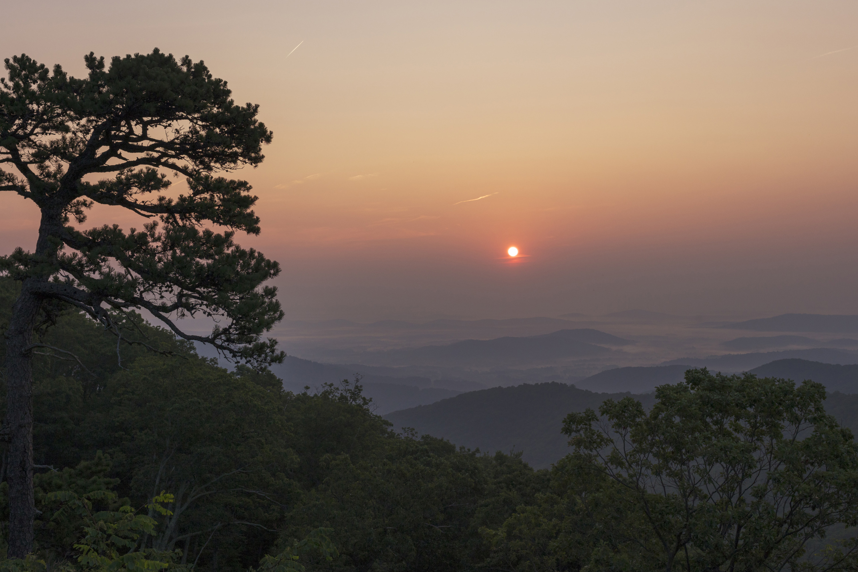
A trail that leads you into the Shenandoah Wilderness to an exceptional waterfall.
Distance: 5.3-mile round trip hike
Difficulty: Moderate ( hiking difficulty scale )
Hiking Time: 5 hours
Elevation Gain: 1,070 feet
Hike Description
From Meadow Spring Parking Area (mile 33.5), take the yellow-blazed Hazel Mountain Trail past the Buck Ridge Trail.
At the fork, go left onto the yellow-blazed White Rocks Trail.
At the next trailpost, go right and continue to two small waterfalls.
Turn around and retrace your steps back to the parking area.
Accessibility This trail does not meet ADA accessibility guidelines.
Heiskell Hollow Trail
Hemlock Run Trail
Hemlock Run-Presidents Cabin Connector Trail - RPDN999SF004
Hickerson Hollow Trail
Hightop Hut Bear Pole Trail
Shelters
Along the way Hightop Shelter
Hightop Hut Campsite Trail
Shelters
Along the way Hightop Shelter
Hightop Hut Privy-Campsite Trail
Shelters
Along the way Hightop Shelter
Hightop Hut Spring Trail
Shelters
Along the way Hightop Shelter
Hightop Hut Trail
Hogback Spur Spring Trail
Hogback Spur Trail
Hot Mtn-Short Mtn Trail
Hull School Trail
Indian Run Spring Trail
Indian Run Trail
Ivy Creek Maint Hut Pit Privy Trail
Ivy Creek Maint Hut Spring Access Trail
Ivy Creek Maint Hut Trail
Jenkins Gap Trail
Jeremys Run Upper Trail
Jones Mountain Cabin - Ash Disposal Trail
Jones Mountain Cabin - Campsite Access Trail
Jones Mountain Cabin - Campsite Trail
Jones Mountain Cabin - Privy Trail
Jones Mountain Cabin - Vista Access Trail
Jones Mountain Cabin Trail
Jones Mountain Trail
Jones Run Trail
Browns Gap the Park Service's write-up
7-8 Hours · dogs allowed
Start South District (Mile 83)
This circuit hike leads you to Upper and Lower Doyles River Falls, as well as Jones Run Falls.
Distance: 6.5-mile circuit hike
Difficulty: Moderately Strenuous (explanation of our hiking difficulty scale )
Hiking Time: 7 hours
Elevation Gain: 1,400 feet
Hike Description
From the Browns Gap Parking Area (mile 83), cross Skyline Drive and take Browns Gap Fire Road to its intersection with Doyles River Trail.
Turn right and connect with Jones Run Trail.
At the Jones Run parking area, take a right onto the Appalachian Trail.
Follow the A.T. back to your starting point.
Accessibility This trail does not meet ADA accessibility guidelines.
Jones Run Falls the Park Service's write-up
2-3 Hours · dogs allowed
Start South District (Mile 84.1)
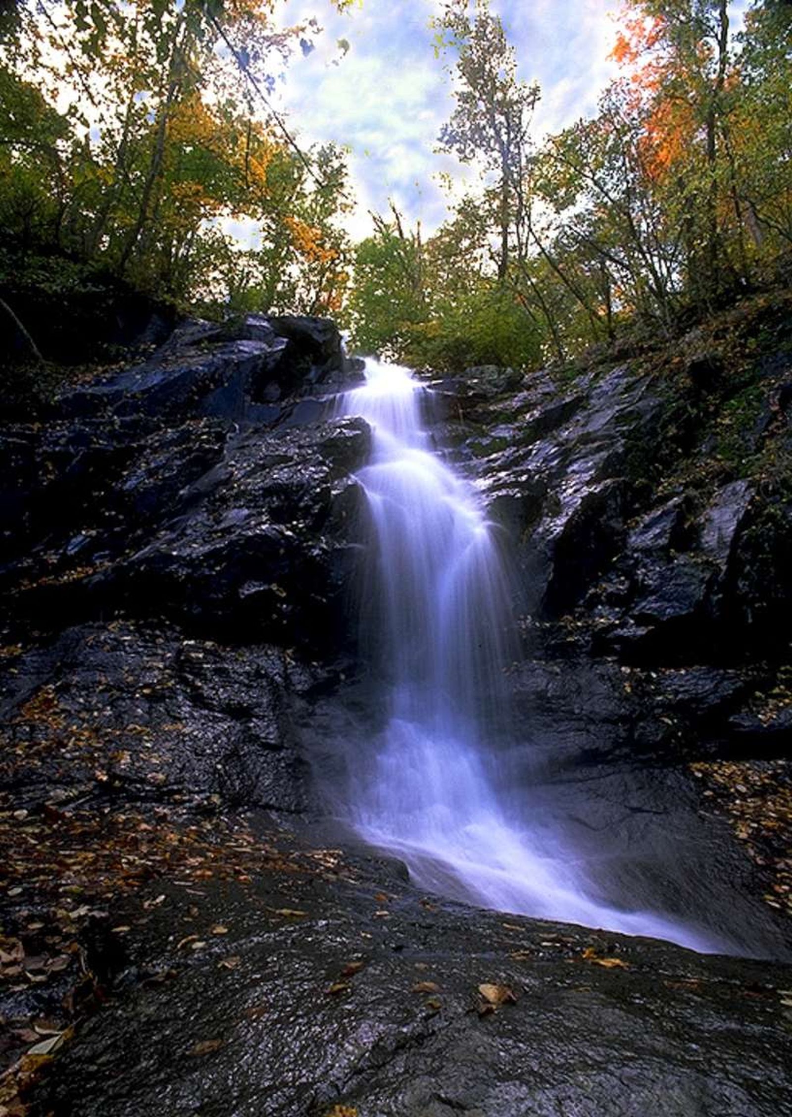
This hike takes you over a mountain stream, through the forest, and beside a 42 foot waterfall. There is one stream crossing.
Distance: 3.2-mile round trip hike
Difficulty: Moderate (explanation of our hiking difficulty scale )
Hiking Time: 2 hours 30 minutes
Elevation Gain: 1,045 feet
Hike Description
From the trailhead at the Jones Run Parking Area (mile 84.1), cross the Appalachian Trail and follow the blue-blazed Jones Run Trail to Jones Run Falls
Return by the same route.
Accessibility This trail does not meet ADA accessibility guidelines.
Jordan River Trail
Knob Mtn Cutoff Trail
Knob Mtn Trail
Laurel Prong Horse Trail
Laurel Prong Trail
Mill Prong - Laurel Prong Loop the Park Service's write-up
7-8 Hours · dogs allowed
Start Central District (Mile 52.8)
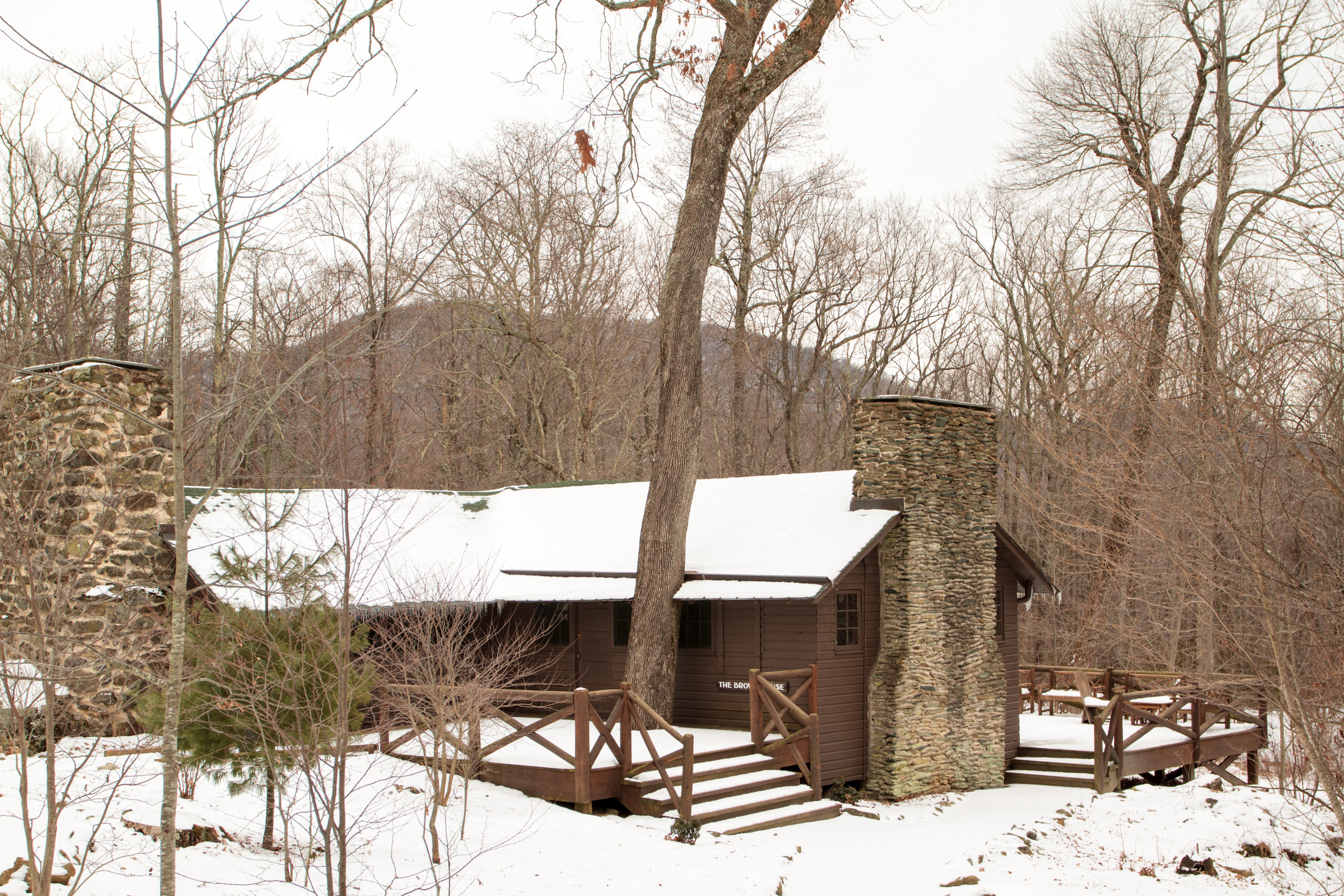
A circuit hike to Camp Rapidan, the rustic getaway of President Herbert Hoover and First Lady Lou Henry Hoover. Today, this restful spot features exhibits on the First Couple and their perspectives. This hike features three stream crossings, each about eight feet wide, which may be difficult to cross, depending on the amount of recent rainfall. Take your time crossing and turn around if you feel uncomfortable. If you are unable to do the hike, you can still take a virtual tour of Rapidan Camp.
Distance: 7.4-mile circuit hike
Difficulty: Moderately Strenuous (explanation of our hiking difficulty scale )
Hiking Time: 8 hours
Elevation Gain: 1,520 feet
Hike Description
From the Milam Gap parking area (mile 52.8), cross Skyline Drive and take the Appalachian Trail (A.T.) a few feet to the trailpost.
Go left onto the blue-blazed Mill Prong Trail.
Take a slight right onto the yellow-blazed Mill Prong Horse Trail and follow it to Rapidan Camp.
After exploring the camp, take the Laurel Prong Trail (an old road trace), which is yellow-blazed, for about a half mile.
Continue straight on Laurel Prong when it becomes blue-blazed and stay on it past the junction with Cat Knob Trail.
At the junction with the A.T., turn right and follow it north across Hazeltop, the third highest peak in Shenandoah.
The A.T. will take you back to your starting point Milam Gap.
Accessibility This trail does not meet ADA accessibility guidelines.
Leading Ridge Trail
Lewis Mountain Campground Trail
Campgrounds
Along the way Lewis Mountain Campground
Lewis Mountain Picnic Ground Trail - LSPG999SF001
Lewis Mountain Picnic Ground Trail - LSPG999SF002
Picnic areas
Along the way Lewis Mountain Picnic Area
Lewis Mountain Picnic Ground Trail - LSPG999SF003
Picnic areas
Along the way Lewis Mountain Picnic Area
Lewis Mountain Picnic Ground Trail - LSPG999SF004
Picnic areas
Along the way Lewis Mountain Picnic Area
Lewis Mountain Picnic Ground Trail - LSPG999SF005
Picnic areas
Along the way Lewis Mountain Picnic Area
Lewis Mtn East Trail
Lewis Peak Summit Trail
Lewis Peak Trail
Lewis Spring Falls Spur Trail
Lewis Spring Falls Trail
Lewis Falls Trail the Park Service's write-up
4-5 Hours · dogs allowed
Start Central District (Mile 51.2)
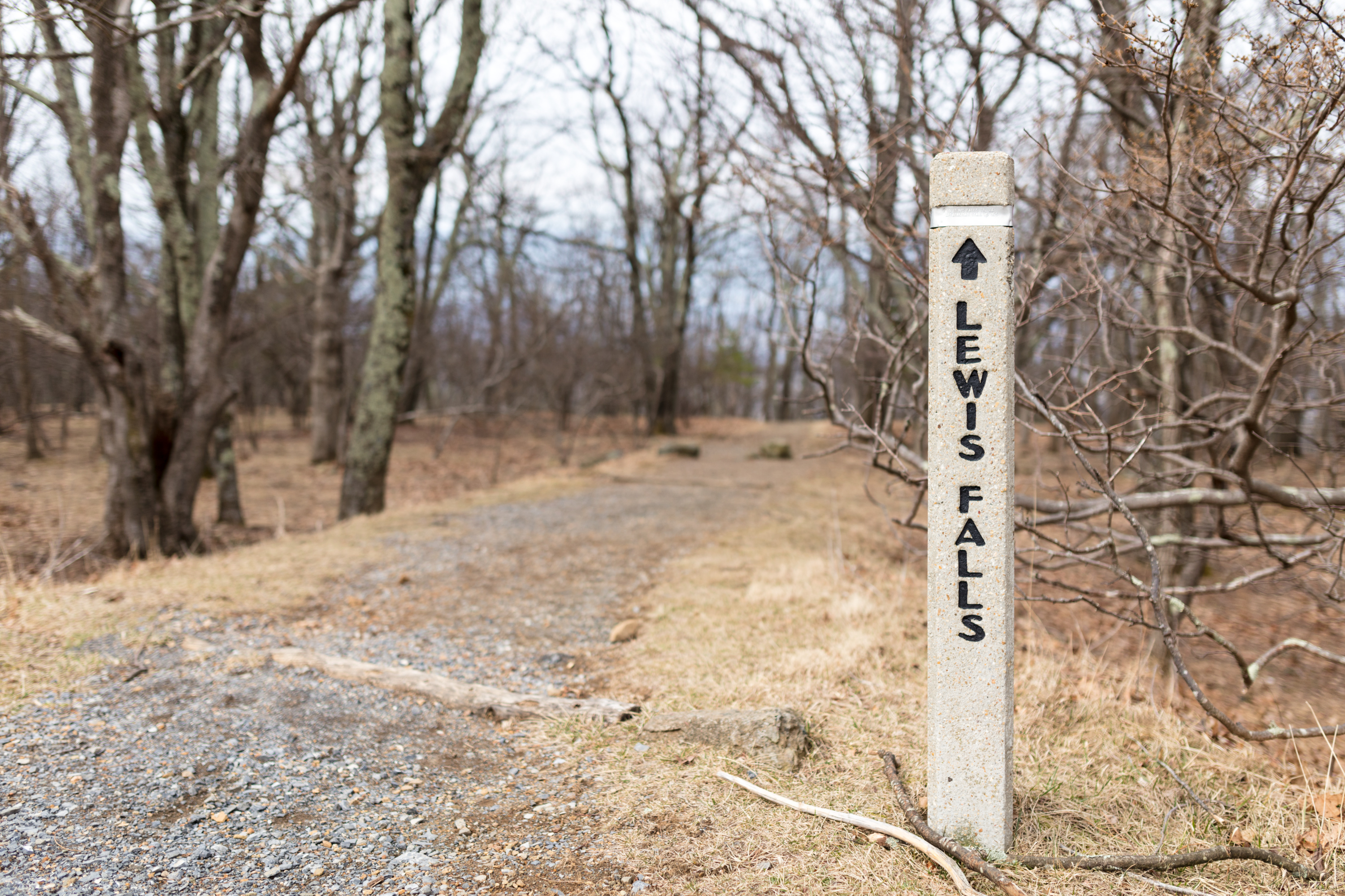
Leaving from Big Meadows amphitheater, this hike leads to an observation point over a beautiful 81 foot waterfall.
Distance: 3.3-mile circuit hike
Difficulty: Moderate (explanation of our hiking difficulty scale )
Hiking Time: 4 hours
Elevation Gain: 990 feet
Hike Description
From the Big Meadows amphitheater parking area, walk downhill from the concrete marker post and turn left on the Appalachian Trail.
Stay right onto the blue-blazed Lewis Falls Trail. It’s a steep, rocky descent to the falls viewing platform.
To return, take the trail up to its intersection with a fire road and turn right.
In a few yards, turn left onto the Appalachian Trail.
Follow uphill to return to the parking area.
Accessibility This trail does not meet ADA accessibility guidelines.
Limberlost Accessible Trail
Little Devils Stairs Trail
Little Devils Stairs Loop the Park Service's write-up
8-9 Hours · dogs allowed
Start North District (Mile 19.4)
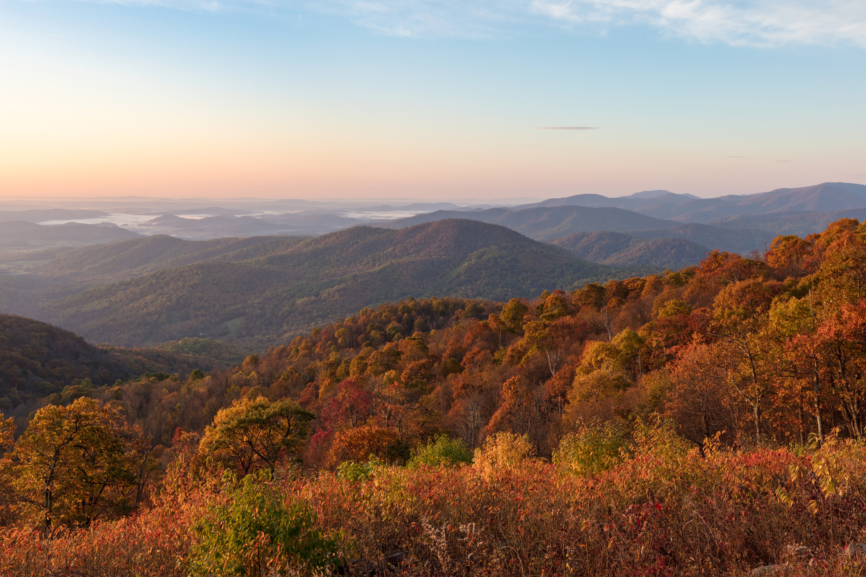
This journey leads you through an impressive gorge with many cascades, past a family cemetery, and through the quiet forest.
Distance: 7.4-mile circuit hike
Difficulty: Strenuous (explanation of our hiking difficulty scale )
Hiking Time: 8 hours 30 minutes
Elevation Gain: 1,897 feet
Hike Description
From the Keyser Run parking area (mile 19.4), take the Keyser Run Fire Road (yellow-blazed).
Follow the fire road to the parking area on the boundary. Please stay on the fire road, and respect private property.
Pick up the blue-blazed Little Devils Stairs Trail and continue until you reconnect with the Keyser Run Fire Road.
Turn right, and return to the parking area.
Accessibility This trail does not meet ADA accessibility guidelines.
Loft Mountain Campground Trail
Campgrounds
Along the way Loft Mountain Campground
Loft Mountain Campground Trail - Amphitheater Access
Loft Mountain Campground Trail 1
Loft Mountain Campground Trail 2
Loft Mountain Campground Trail 3
Loft Mountain Campground Trail 4
Loft Mountain Campground Trail 5
Loft Mountain Campground Trail 7
Loft Mountain Campground Trail 8
Madison Run Spur Trail
Marys Rock Summit Trail
Marys Rock From Meadow Spring the Park Service's write-up
2-3 Hours · dogs allowed
Start Central District (Mile 33.5)
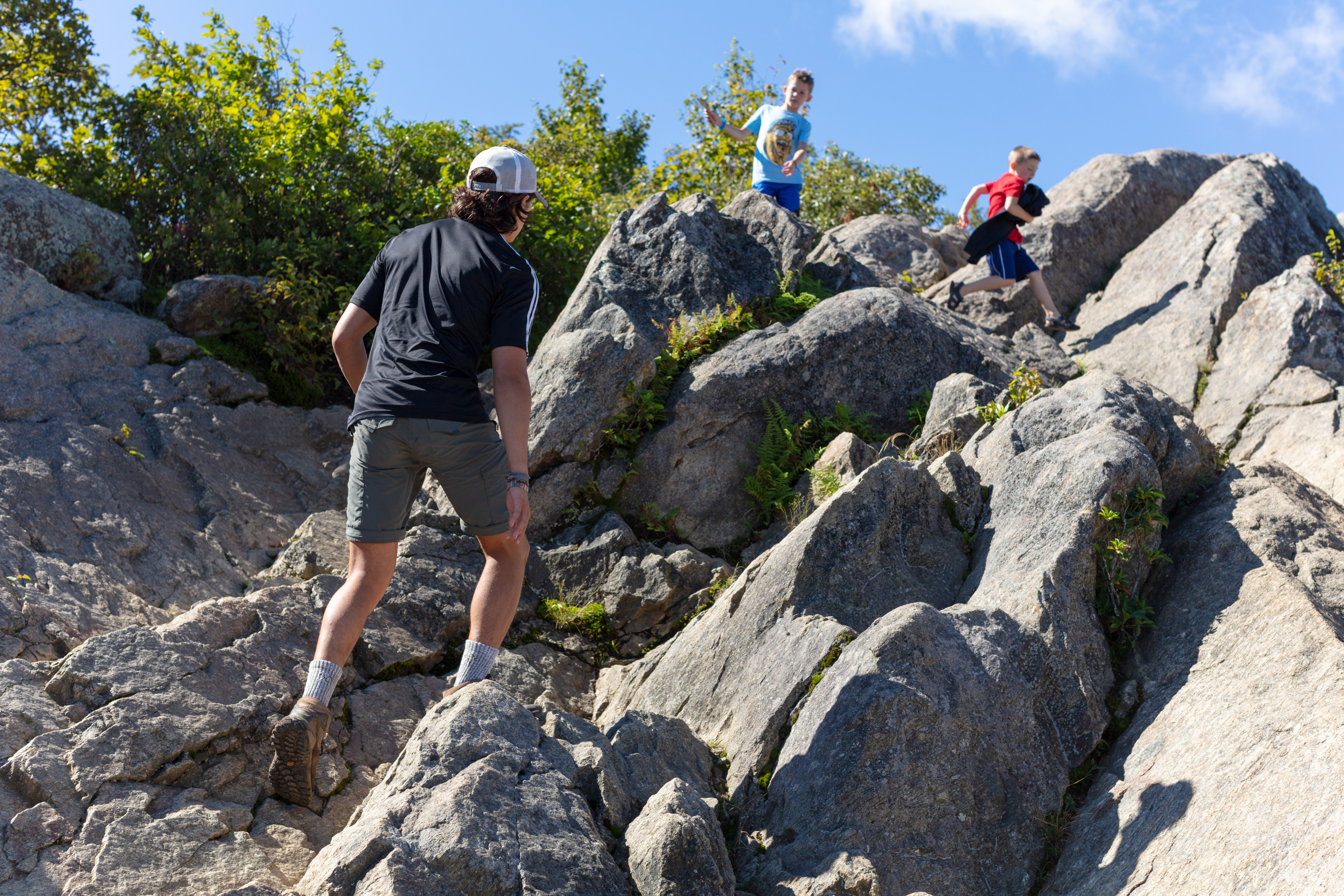
This alternate route to Marys Rock Summit offers an easier and shorter trek to the same incredible westward views of the Shenandoah Valley. Along the way, hikers will pass by the remnants of the former Meadow Spring Shelter as well as beautiful azalea blooms in season.
Note that very limited closures are in effect in an effort to prevent further degradation of important outcrop ecosystems on Marys Rock.
Distance: 2.9-mile round trip hike
Difficulty: Moderate ( hiking difficulty scale )
Hiking Time: 3 hours
Elevation Gain: 830 feet
Hike Description
From Meadow Spring parking area at mile 33.5, cross Skyline Drive and take the Meadow Spring Trail to its intersection with the Appalachian Trail (A.T.).
Go right onto the A.T. and follow it to the next trailpost.
At the trailpost take a left to the viewpoint.
Retrace your steps back to the parking area.
Accessibility This trail does not meet ADA accessibility guidelines.
Marys Rock Summit the Park Service's write-up
3-4 Hours · dogs allowed
Start Central District (Mile 31.6)
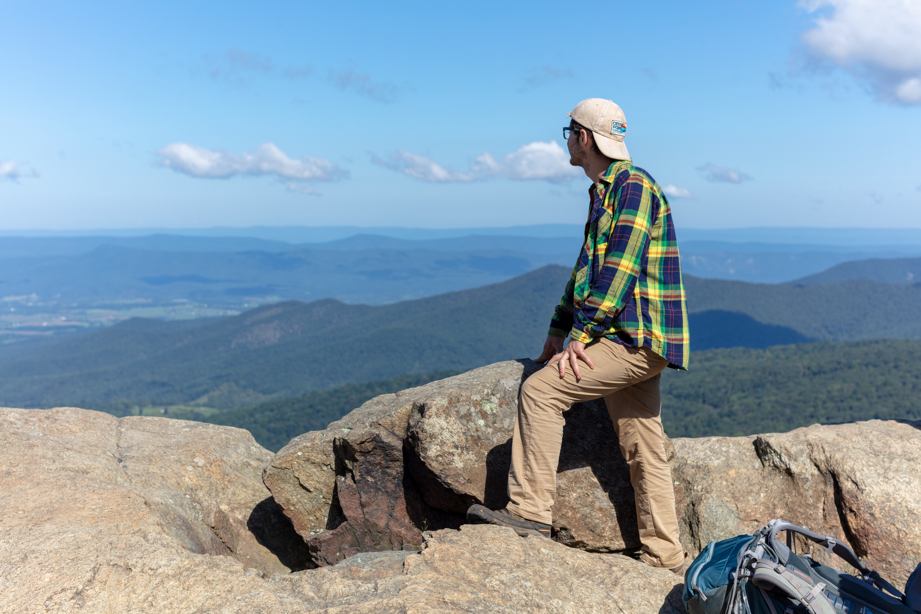
Many legends surround the name of this hike, but there is no denying the beautiful westward views that it provides of the Shenandoah Valley and Massanutten Mountain.
Note that very limited closures are in effect in an effort to prevent further degradation of important outcrop ecosystems on Marys Rock.
Distance: 3.7-mile round trip hike
Difficulty: Moderate ( hiking difficulty scale )
Hiking Time: 3 hours 30 minutes
Elevation Gain: 1,210 feet
Hike Description
From the trailhead located in the back of the Panorama parking area, take the short connector trail to the Appalachian Trail and go left (south).
At the trailpost take a right to the viewpoint.
Retrace your steps back to the parking area.
Accessibility This trail does not meet ADA accessibility guidelines.
Mathews Arm Campground Trail
Campgrounds
Along the way Mathews Arm Campground
Traces Trail the Park Service's write-up
1-2 Hours · dogs allowed
Start North District (Mile 22.2)
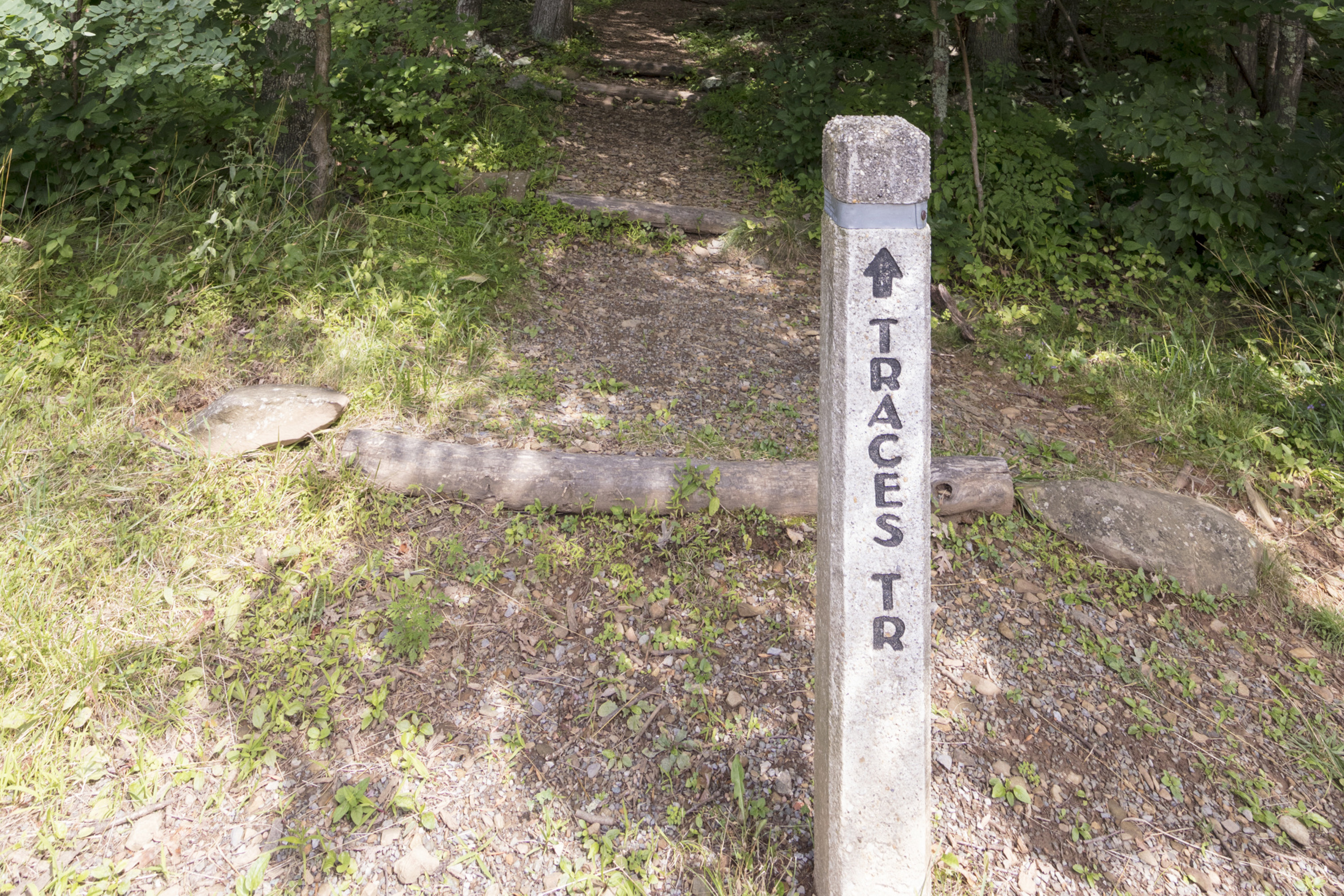
A hike that follows a trail around Mathews Arm Campground. Along the way, you’ll see traces left behind by former residents of the area.
Distance: 1.7-mile circuit hike
Difficulty: Easiest (explanation of our hiking difficulty scale )
Hiking Time: 1 hours 15 minutes
Elevation Gain: 333 feet
Hike Description
From the Mathews Arm Campground registration parking area (mile 22.2), take the blueblazed Traces Nature Trail around the campground. It will loop back around to your starting point.
Accessibility This trail does not meet ADA accessibility guidelines.
Mathews Arm Trail
Traces Trail the Park Service's write-up
1-2 Hours · dogs allowed
Start North District (Mile 22.2)
A hike that follows a trail around Mathews Arm Campground. Along the way, you’ll see traces left behind by former residents of the area.
Distance: 1.7-mile circuit hike
Difficulty: Easiest (explanation of our hiking difficulty scale )
Hiking Time: 1 hours 15 minutes
Elevation Gain: 333 feet
Hike Description
From the Mathews Arm Campground registration parking area (mile 22.2), take the blueblazed Traces Nature Trail around the campground. It will loop back around to your starting point.
Accessibility This trail does not meet ADA accessibility guidelines.
McDaniel Hollow Trail
Meadow Spring Trail
Hazel River Falls the Park Service's write-up
5-6 Hours · dogs allowed
Start Central District (Mile 33.5)
A trail that leads you into the Shenandoah Wilderness to an exceptional waterfall.
Distance: 5.3-mile round trip hike
Difficulty: Moderate ( hiking difficulty scale )
Hiking Time: 5 hours
Elevation Gain: 1,070 feet
Hike Description
From Meadow Spring Parking Area (mile 33.5), take the yellow-blazed Hazel Mountain Trail past the Buck Ridge Trail.
At the fork, go left onto the yellow-blazed White Rocks Trail.
At the next trailpost, go right and continue to two small waterfalls.
Turn around and retrace your steps back to the parking area.
Accessibility This trail does not meet ADA accessibility guidelines.
Marys Rock From Meadow Spring the Park Service's write-up
2-3 Hours · dogs allowed
Start Central District (Mile 33.5)
This alternate route to Marys Rock Summit offers an easier and shorter trek to the same incredible westward views of the Shenandoah Valley. Along the way, hikers will pass by the remnants of the former Meadow Spring Shelter as well as beautiful azalea blooms in season.
Note that very limited closures are in effect in an effort to prevent further degradation of important outcrop ecosystems on Marys Rock.
Distance: 2.9-mile round trip hike
Difficulty: Moderate ( hiking difficulty scale )
Hiking Time: 3 hours
Elevation Gain: 830 feet
Hike Description
From Meadow Spring parking area at mile 33.5, cross Skyline Drive and take the Meadow Spring Trail to its intersection with the Appalachian Trail (A.T.).
Go right onto the A.T. and follow it to the next trailpost.
At the trailpost take a left to the viewpoint.
Retrace your steps back to the parking area.
Accessibility This trail does not meet ADA accessibility guidelines.
Mill Prong Horse Trail
Rapidan Camp the Park Service's write-up
2-3 Hours · dogs allowed
Start Central District (Mile 52.8)
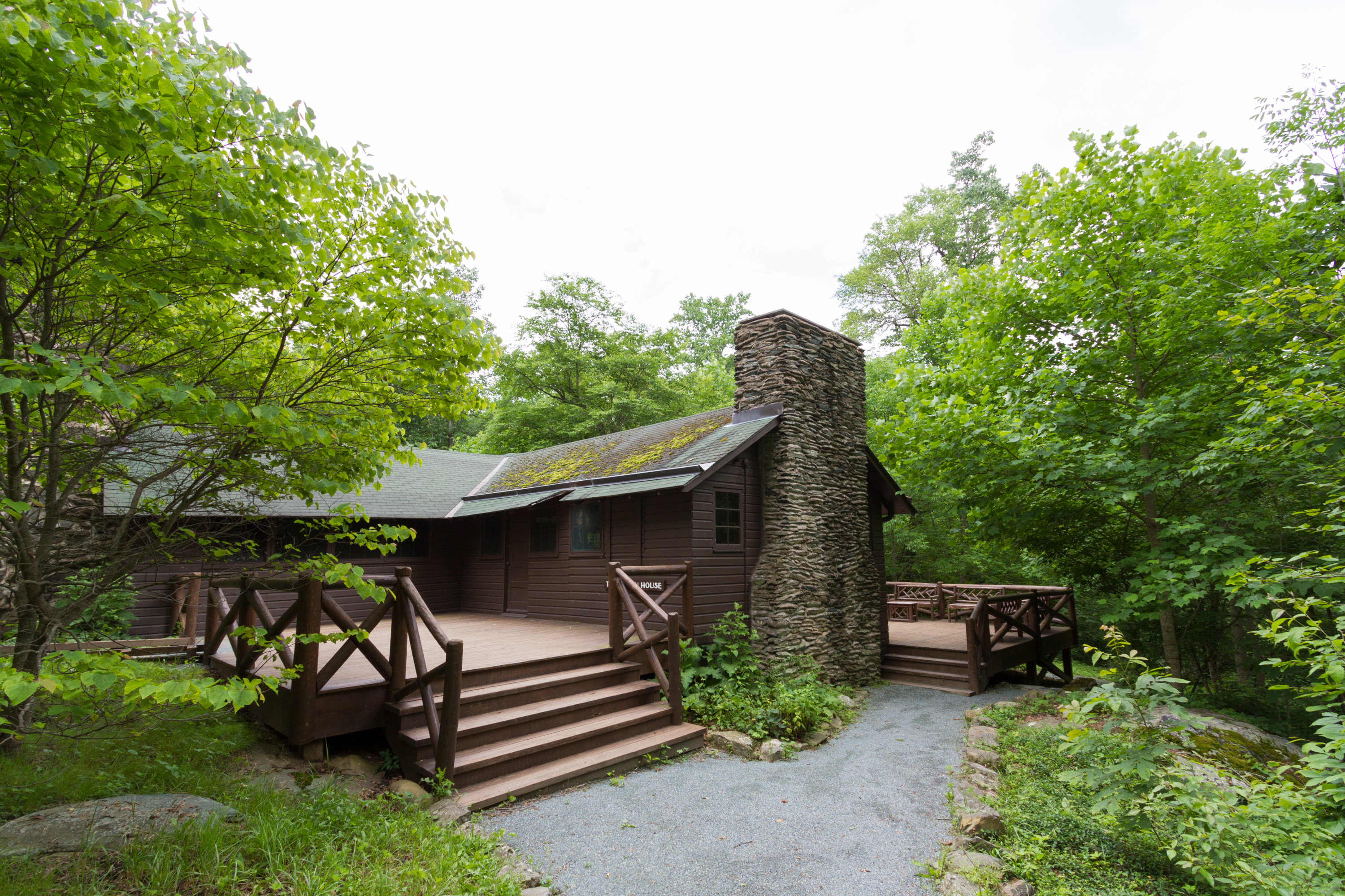
A hike to the rustic getaway of President Herbert Hoover and First Lady Lou Henry Hoover. Today, this restful spot features exhibits on the First Couple and their perspectives. This hike features three stream crossings, each about eight feet wide, which may be difficult to cross, depending on the amount of recent rainfall. Take your time crossing and turn around if you feel uncomfortable. If you are unable to do the hike, you can still take a virtual tour of Rapidan Camp.
Distance: 4-mile round trip hike
Difficulty: Moderate (explanation of our hiking difficulty scale )
Hiking Time: 2 hours 45 minutes
Elevation Gain: 870 feet
Hike Description
From the Milam Gap parking area (mile 52.8), cross Skyline Drive and take the Appalachian Trail a few feet to the trailpost.
Go left onto the blue-blazed Mill Prong Trail.
At the second stream crossing, stay right on the yellow-blazed Mill Prong Horse Trail and follow it downhill to the camp.
Return by the same route.
Accessibility This trail does not meet ADA accessibility guidelines.
Mill Prong Trail
Appalachian Trail - Tanners Ridge Road the Park Service's write-up
1-2 Hours · dogs allowed
Start Central District (Mile 52.8)
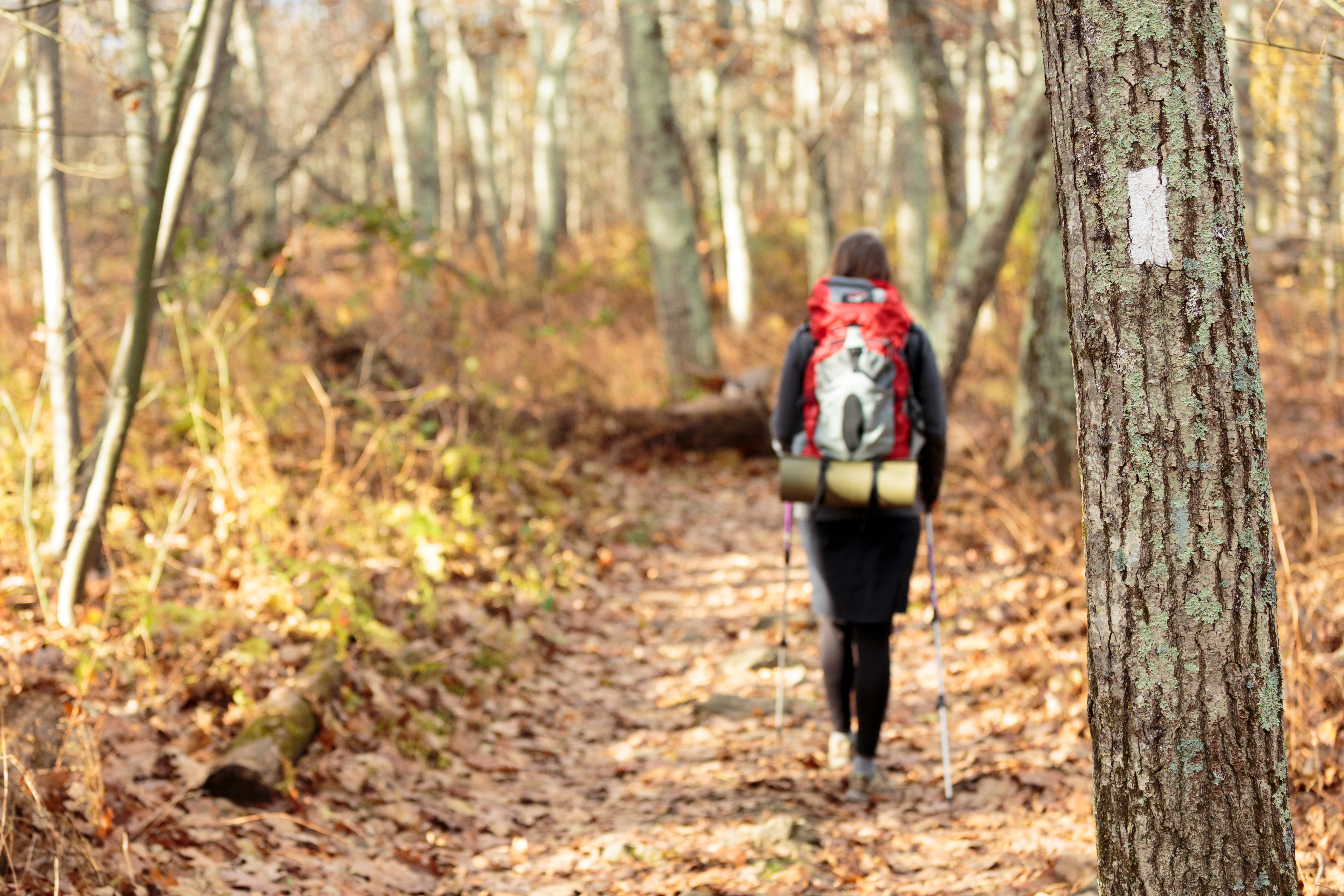
A fairly level hike that takes you through a former homestead on the famous Appalachian Trail.
Distance: 2.1-mile round trip hike
Difficulty: Easiest (explanation of our hiking difficulty scale )
Hiking Time: 1 hours 30 minutes
Elevation Gain: 175 feet
Hiking Description
From the Milam Gap parking area (mile 52.8), follow the Appalachian Trail (A.T.) north through a former homestead.
In about a mile, the A.T. intersects with the Tanners Ridge Road. At this point, turn around and retrace your steps to the starting point.
Accessibility This trail does not meet ADA accessibility guidelines.
Mill Prong - Laurel Prong Loop the Park Service's write-up
7-8 Hours · dogs allowed
Start Central District (Mile 52.8)
A circuit hike to Camp Rapidan, the rustic getaway of President Herbert Hoover and First Lady Lou Henry Hoover. Today, this restful spot features exhibits on the First Couple and their perspectives. This hike features three stream crossings, each about eight feet wide, which may be difficult to cross, depending on the amount of recent rainfall. Take your time crossing and turn around if you feel uncomfortable. If you are unable to do the hike, you can still take a virtual tour of Rapidan Camp.
Distance: 7.4-mile circuit hike
Difficulty: Moderately Strenuous (explanation of our hiking difficulty scale )
Hiking Time: 8 hours
Elevation Gain: 1,520 feet
Hike Description
From the Milam Gap parking area (mile 52.8), cross Skyline Drive and take the Appalachian Trail (A.T.) a few feet to the trailpost.
Go left onto the blue-blazed Mill Prong Trail.
Take a slight right onto the yellow-blazed Mill Prong Horse Trail and follow it to Rapidan Camp.
After exploring the camp, take the Laurel Prong Trail (an old road trace), which is yellow-blazed, for about a half mile.
Continue straight on Laurel Prong when it becomes blue-blazed and stay on it past the junction with Cat Knob Trail.
At the junction with the A.T., turn right and follow it north across Hazeltop, the third highest peak in Shenandoah.
The A.T. will take you back to your starting point Milam Gap.
Accessibility This trail does not meet ADA accessibility guidelines.
Millers Head Trail
Millers Head the Park Service's write-up
2-3 Hours · dogs allowed
Start Central District (Mile 42.5)

Take this hike to a spectacular viewpoint at the site of a former fire tower. The trail is rocky and the return is a bit steep
Distance: 1.6-mile round trip hike
Difficulty: Easiest ( hiking difficulty scale )
Hiking Time: 2 hours
Elevation Gain: 450 feet
Hike Description
From the trailhead just up the hill from the Skyland amphitheater, take the Millers Head Trail to the viewpoint.
Retrace your steps down the Millers Head Trail to return to your starting point.
Accessibility This trail does not meet ADA accessibility guidelines.
Millers Head Vista Trail-North
Millers Head Vista Trail-South
Mt Marshall Trail
Neighbor Mtn Access Trail
Neighbor Mtn Trail
Shelters
Along the way Byrd's Nest #4 Shelter
Nicholson Hollow Trail
Nicholson Hollow the Park Service's write-up
6-7 Hours · dogs allowed
Start Old Rag Parking Area (Park Boundary)
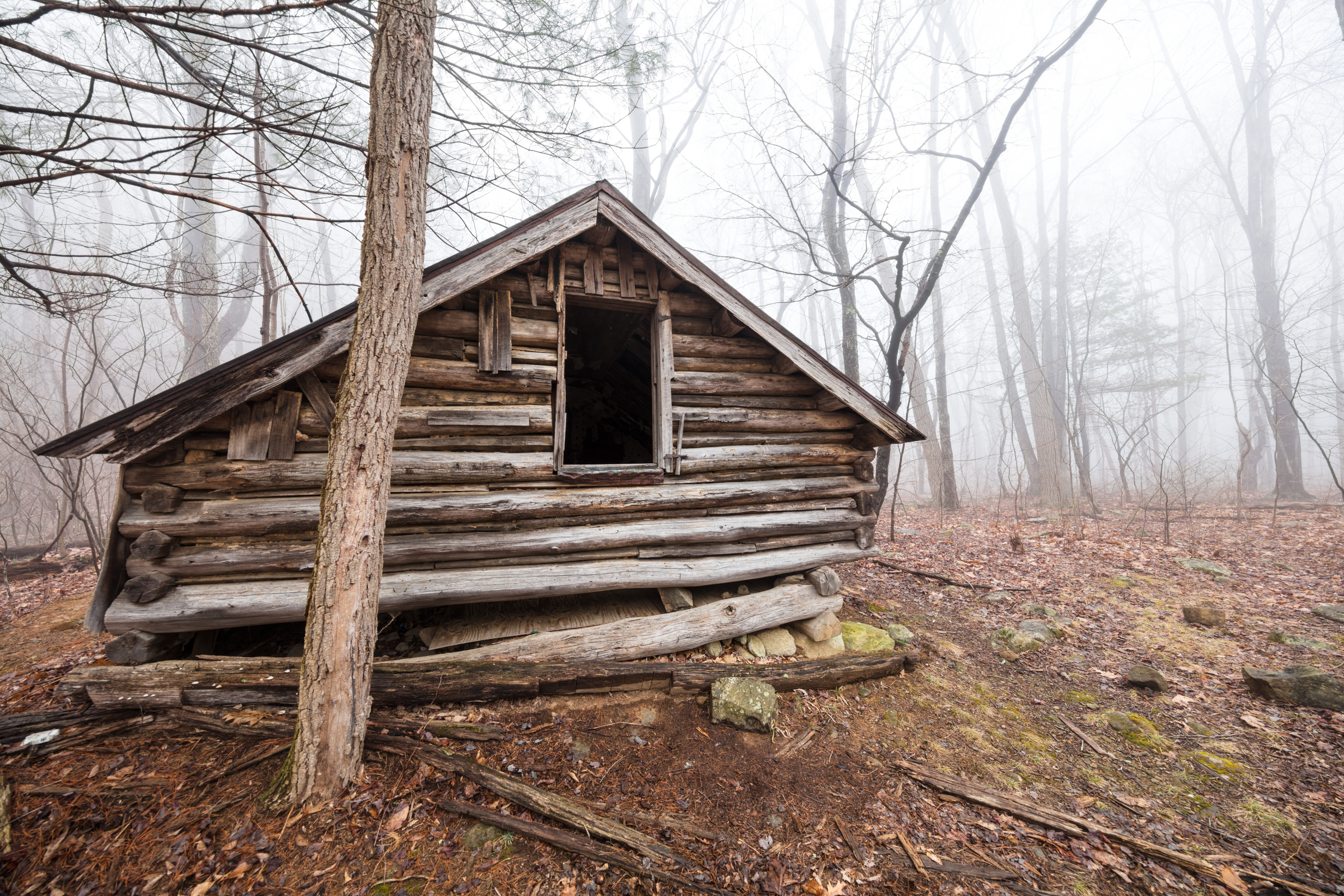
An alternate option for visitors with pets who still wish to hike from the Old Rag parking area. This hike takes you through the Shenandoah Wilderness to Corbin Cabin, an old homesite built by a former resident, and features several stream crossings along the way. There are several stream crossings on this hike.
Distance: 8-mile round trip hike
Difficulty: Moderately Strenuous ( hiking difficulty scale )
Hiking Time: 7 hours
Elevation Gain: 1,240 feet
Hike Description
From the Old Rag parking area on the Park boundary, look for the Nicholson Hollow Trail concrete marker across the road.
Follow the Nicholson Hollow Trail to Corbin Cabin and retrace your steps to return.
Accessibility This trail does not meet ADA accessibility guidelines.
North Fork Moormans River Trail
Old Rag Access Trail
Ranger stations
Along the way Old Rag Ranger Station
Old Rag Shelter - Privy Trail
Shelters
Along the way Old Rag Shelter Old Rag Shelter Pit Privy
Old Rag Shelter - Spring Trail
Shelters
Along the way Old Rag Shelter Old Rag Shelter Pit Privy
Onemile Run Trail
Overall Run Trail
Overall Run Falls the Park Service's write-up
4-5 Hours · dogs allowed
Start North District (Mile 22.2)
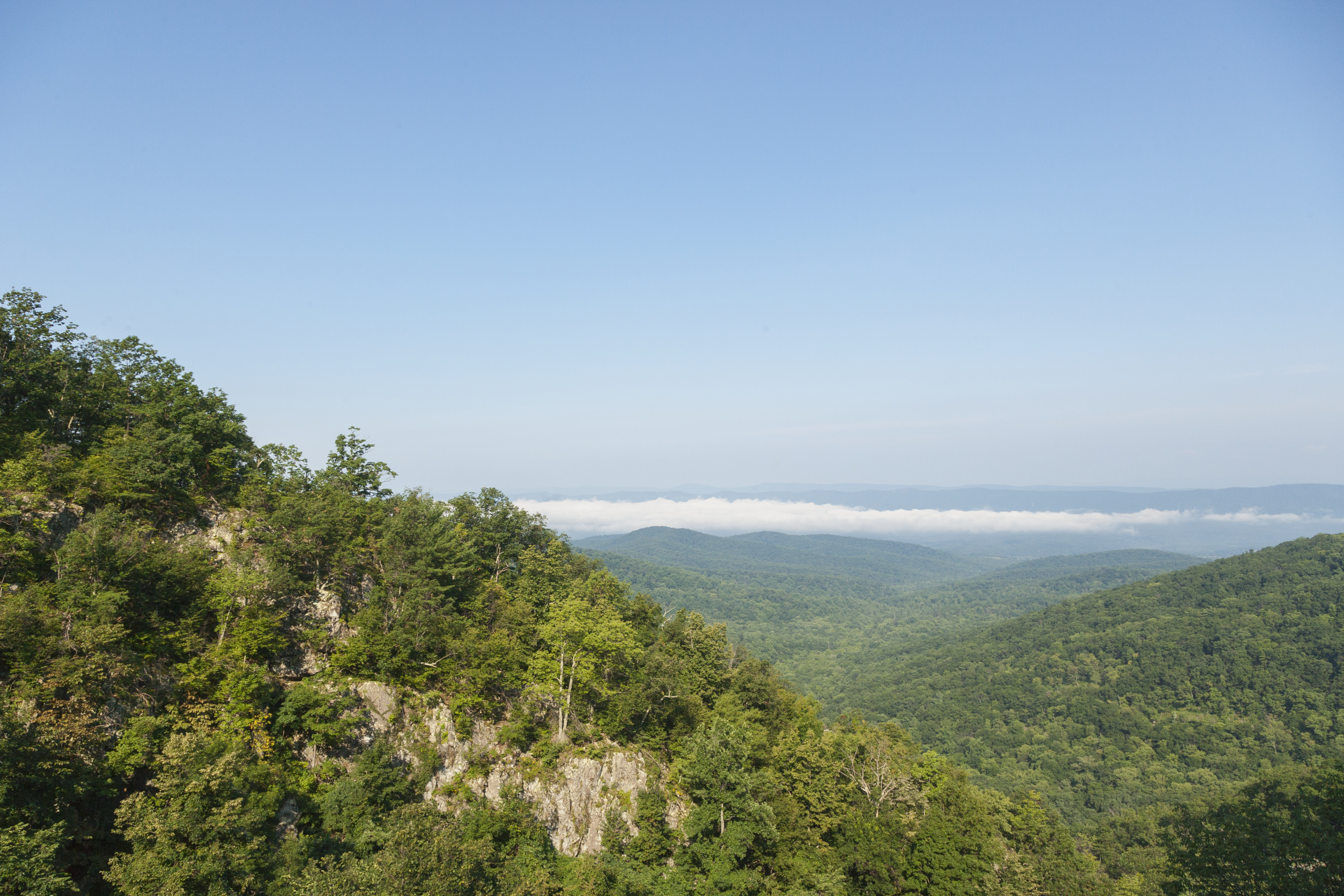
A hike into federally designated Wilderness to a view of the highest waterfall in the Park at 93 feet. Unless rain is plentiful, Overall Run Falls may have minimal to no water flow.
Note that closures are in effect in an effort to prevent further degradation of important outcrop ecosystems on Overall Run.
Distance: 5.1-mile round trip hike
Difficulty: Moderately Strenuous (explanation of our hiking difficulty scale )
Hiking Time: 4 hours
Elevation Gain: 1,291 feet
Hike Description
From the trailhead at the Mathews Arm Campground registration parking area, take Traces Trail to the yellow-blazed Mathews Arm Road.
The road becomes Mathews Arm Trail.
Stay on the right at its intersection with Beecher Ridge Trail and continue on Mathews Arm Trail following it to the intersection with Tuscarora-Overall Run Trail.
Go left and follow it about a tenth of a mile to a side trail. From here you can see the upper falls.
Continue downhill on the main trail another 1,300 feet for views of the biggest falls in Shenandoah at 93 feet.
Retrace your steps back to your starting point.
NOTE: If the campground is closed, you can park at mile 21 and take the Appalachian Trail to the Tuscarora-Overall Run Trail. This route adds another mile to your hike. If you are already in the campground, you can take the yellow-blazed Mathews Arm Road from the B-loop.
Accessibility This trail does not meet ADA accessibility guidelines.
Overall/Beecher Connector Trail
Paine Run Trail
Pass Mountain Hut Trail
Shelters
Along the way Pass Mtn Shelter
Pass Mountain Loop Trail
Views
Along the way Pass Mountain
Pass Mountain Loop the Park Service's write-up
2-3 Hours · dogs allowed
Start Central District (Mile 31.6)
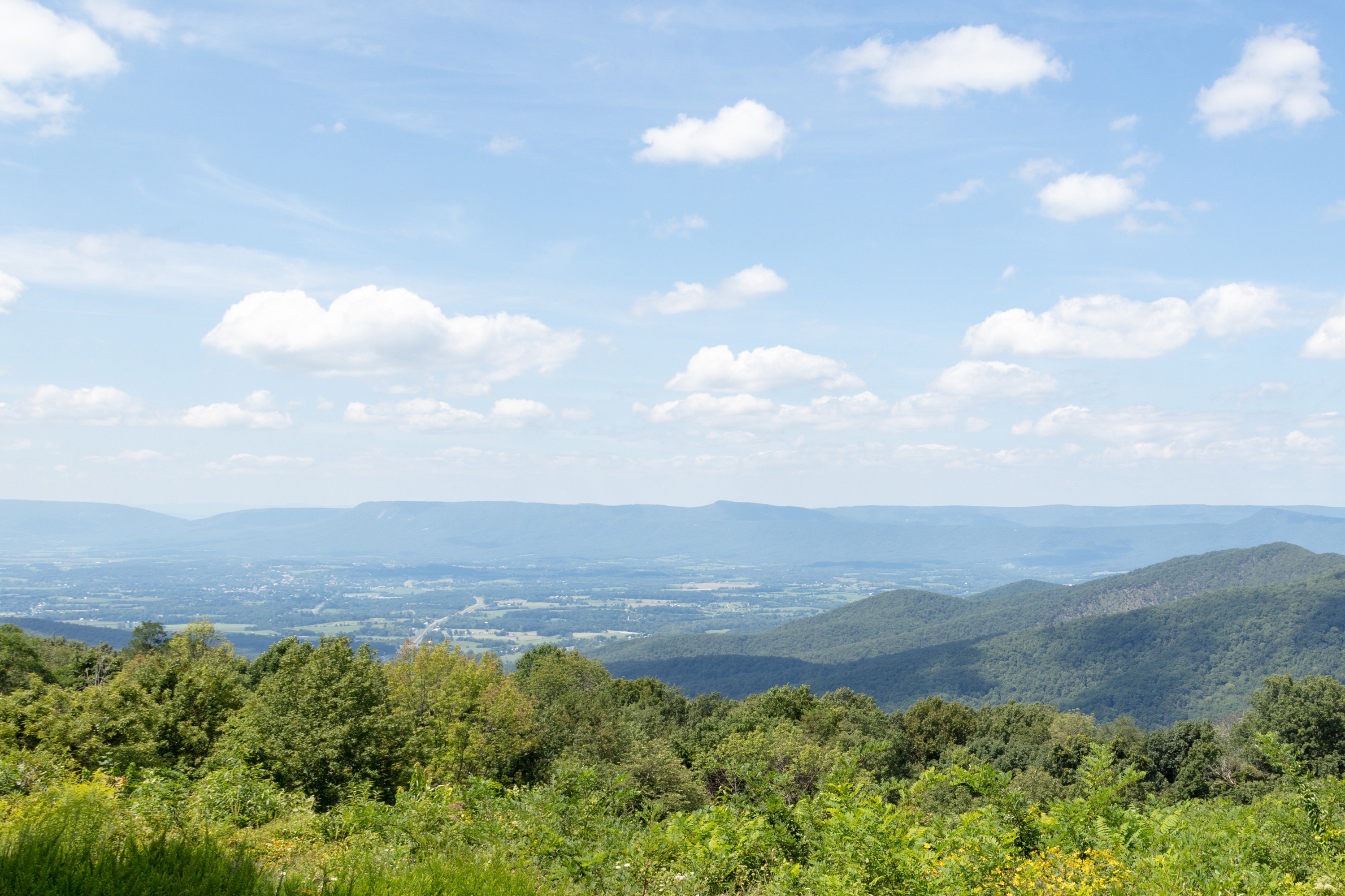
A hike along the Appalachian Trail to a shelter. Be on the lookout for wildflowers and birds through the fairly open woods along the trail!
Distance: 3.4-mile round trip hike
Difficulty: Moderate ( hiking difficulty scale )
Hiking Time: 2 hours 30 minutes
Elevation Gain: 670 feet
Hike Description
From the back of the Panorama parking area (mile 31.6), take the short connector trail to the Appalachian Trail (A.T.) and go right (north).
Cross Route 211 and Skyline Drive.
Go right onto the fire road and follow it to the hut.
Once there, look for the blue-blazed Pass Mountain Trail and take that back to the A.T. south, which will take you back to your starting point.
Accessibility This trail does not meet ADA accessibility guidelines.
Pass Mountain Trail
Shelters
Along the way Pass Mtn Shelter
Pass Mountain Loop the Park Service's write-up
2-3 Hours · dogs allowed
Start Central District (Mile 31.6)
A hike along the Appalachian Trail to a shelter. Be on the lookout for wildflowers and birds through the fairly open woods along the trail!
Distance: 3.4-mile round trip hike
Difficulty: Moderate ( hiking difficulty scale )
Hiking Time: 2 hours 30 minutes
Elevation Gain: 670 feet
Hike Description
From the back of the Panorama parking area (mile 31.6), take the short connector trail to the Appalachian Trail (A.T.) and go right (north).
Cross Route 211 and Skyline Drive.
Go right onto the fire road and follow it to the hut.
Once there, look for the blue-blazed Pass Mountain Trail and take that back to the A.T. south, which will take you back to your starting point.
Accessibility This trail does not meet ADA accessibility guidelines.
Pass Mtn Hut Bear Pole Trail
Shelters
Along the way Pass Mtn Shelter
Pass Mtn Hut Campsite Trail (1)
Shelters
Along the way Pass Mtn Shelter
Pass Mtn Hut Campsite Trail (2)
Shelters
Along the way Pass Mtn Shelter
Pass Mtn Hut Campsite Trail (3)
Pass Mtn Hut Campsite Trail (4)
Pass Mtn Hut Campsite Trail (5)
Pass Mtn Hut Campsite Trail (7)
Shelters
Along the way Pass Mtn Shelter
Pass Mtn Hut Privy Trail
Shelters
Along the way Pass Mtn Shelter
Pass Mtn Hut Spring Trail
Shelters
Along the way Pass Mtn Shelter
Passamaquoddy Trail
Passamaquoddy Trail - Skyland Access
Ranger stations
Along the way Skyland Resort - Office
Passamaquoddy Trail Access-Dining Hall
Patterson Ridge Trail
Pine Hill Gap Trail
Pinefield Hut Campsite Trail
Shelters
Along the way Pinefield Shelter
Piney Branch Horse Trail
Piney Branch Lower Trail
Piney Branch Upper Trail
Piney Ridge Trail
Pinnacles Picnic Area Trail
Picnic areas
Along the way Pinnacles Picnic Area
Pocosin Hollow Trail
Pocosin Horse Trail
Pole Bridge Link Trail
Powell Mtn Trail
Views
Along the way Hazeltop Ridge
Presidents Cabin Trail
Pumphouse Access Trail
Range View Cabin - Access Trail
Shelters
Along the way Range View Shelter
Range View Cabin - Ash Pit Trail
Shelters
Along the way Range View Shelter
Range View Cabin - Pit Privy Trail
Shelters
Along the way Range View Shelter
Range View Cabin - Spring Trail
Shelters
Along the way Range View Shelter
Rapidan Camp Privy Access Trail
Ridge Access Trail
Old Rag Circuit the Park Service's write-up
7-8 Hours · no dogs · entrance fee applies · reservation required
Start Central District (Park Boundary)

From March 1 - November 30, visitors to Old Rag Mountain, including hikers on the Saddle, Ridge, and Ridge Access trails, will need to obtain an Old Rag day-use ticket in advance, in addition to a Park entrance pass. Find out more information on our Old Rag day-use ticket FAQ page.
Pets are not allowed on this hike. Featuring an adventurous rock scramble and a 360-degree view that makes you feel like you're on top of the world, there's no wonder why Old Rag is the most popular destination in Shenandoah National Park. While highly rewarding, hiking to the summit is also very physically demanding and can be dangerous if you have not planned properly, so be sure to check out our Old Rag planning guide before you lace up your boots!
Distance: 9.4-mile circuit hike
Difficulty: Very Strenuous ( hiking difficulty scale )
Hiking Time: 7 hours 30 minutes
Elevation Gain: 2,348 feet
Hike Description
From the Old Rag parking area at the Park boundary, take the blue-blazed Ridge Trail.
Continue along the Ridge Trail, across the rock scramble and descend on the Saddle Trail (blue-blazed), which becomes a fire road after you pass Old Rag Shelter.
At the T-intersection, go right and immediately right again at the fork onto Weakley Hollow Fire Road (yellow-blazed).
Turn right onto the Ridge Access Trail and then left onto the Ridge Trail to return to your starting point.
Pets Pets are prohibited on the Ridge, Saddle, and Ridge Access trails, as well as the section between Post Office Junction and Old Rag Shelter.
Accessibility Although pets are not allowed on the Ridge and Saddle Trails, service animals are welcome.
Ridge Trail
Ranger stations
Along the way Old Rag Ranger Station
Riprap Trail
Chimney Rock the Park Service's write-up
2-3 Hours · dogs allowed
Start South District (Mile 90)
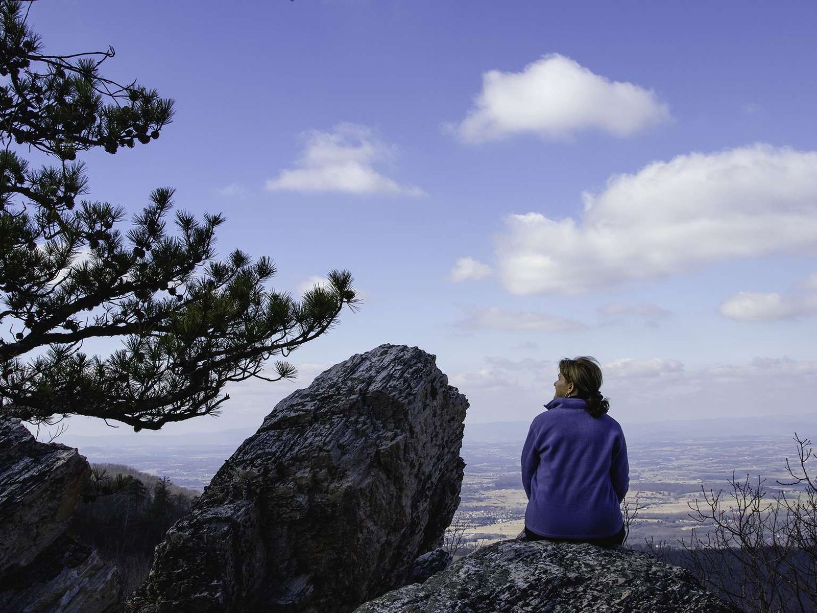
An out-and-back hike into the Shenandoah Wilderness ending at Chimney Rock, an excellent viewpoint with some very interesting geological features.
Distance: 3.4-mile circuit hike
Difficulty: Moderate (explanation of our hiking difficulty scale )
Hiking Time: 2 hours 30 minutes
Elevation Gain: 830 feet
Hike Description
From the Riprap Parking Area (mile 90), take the Appalachian Trail north.
Turn left onto the Riprap Trail.
After a series of switchbacks, you’ll see a viewpoint on your right. Further on, you’ll see Calvary Rocks on left, and then, where the trail makes a sharp left, Chimney Rock stands alone across the gorge to the right.
Turn around, and retrace your steps to return to the parking area.
Accessibility This trail does not meet ADA accessibility guidelines.
Riprap - Wildcat Ridge the Park Service's write-up
8-9 Hours · dogs allowed
Start South District (Mile 90 or 92.1)
You may choose start this hike at either the Riprap parking area or the Wildcat Ridge parking area. No matter which route you choose, this hike will take you through the forests of the Shenandoah Wilderness and over several stream crossings, while offering beautiful views of the hollows and valleys to the west and north.
Distance: 9.8-mile circuit hike
Difficulty: Very Strenuous (explanation of our hiking difficulty scale )
Hiking Time: 8 hours 15 minutes
Elevation Gain: 2,365 feet
Hike Description - From Riprap Parking
From the trailhead at the Riprap parking area (mile 90), follow the Appalachian Trail north.
Turn left on Riprap Trail, continuing past Cavalry Rocks and Chimney Rocks.
Turn left on Wildcat Ridge Trail.
Take another left on the A.T. north, and return to your starting point.
Hike Description - From Wildcat Ridge Parking
From the trailhead at the Wildcat Ridge parking area (mile 92.1), take the Wildcat Ridge Trail past its intersection with the Appalachian Trail.
Turn right onto Riprap Trail.
Take another right on the A.T. south.
Turn left on Wildcat Ridge Trail to return to your starting point.
Accessibility This trail does not meet ADA accessibility guidelines.
Robertson Mtn Trail
Rock Spring Cabin Pit Privy Trail
Shelters
Along the way Rock Spring Shelter
Rock Spring Cabin Spring Trail
Shelters
Along the way Rock Spring Shelter
Rock Spring Cabin Trail
Shelters
Along the way Rock Spring Shelter
Rock Spring Hut Campsite Trail
Shelters
Along the way Rock Spring Shelter
Rocky Branch Trail
Rocky Mount Trail
Rocky Mountain Run Trail
Rockytop Trail
Rose River Loop Trail
RWMA - Doubletop Trail
RWMA - Doubletop Vig Hiker Trail
RWMA - Wilhite Wagon Loop Trail
RWMA Access Trail
Saddle Trail
Shelters
Along the way Old Rag Shelter Old Rag Shelter Pit Privy Ragged Run Shelter
Saddleback Mtn Trail
Salamander Trail
Sams Ridge Trail
Skyland Amphitheater Trail
Millers Head the Park Service's write-up
2-3 Hours · dogs allowed
Start Central District (Mile 42.5)
Take this hike to a spectacular viewpoint at the site of a former fire tower. The trail is rocky and the return is a bit steep
Distance: 1.6-mile round trip hike
Difficulty: Easiest ( hiking difficulty scale )
Hiking Time: 2 hours
Elevation Gain: 450 feet
Hike Description
From the trailhead just up the hill from the Skyland amphitheater, take the Millers Head Trail to the viewpoint.
Retrace your steps down the Millers Head Trail to return to your starting point.
Accessibility This trail does not meet ADA accessibility guidelines.
Skyland Stable Parking Access Trail
Skyland Stable Trail
Skyland-Big Meadows Horse Trail
Exhibits
Along the way Highest Point On Skyline Drive
Hawksbill Summit via Upper Hawksbill the Park Service's write-up
1-2 Hours · dogs allowed
Start Central District (Mile 46.5)
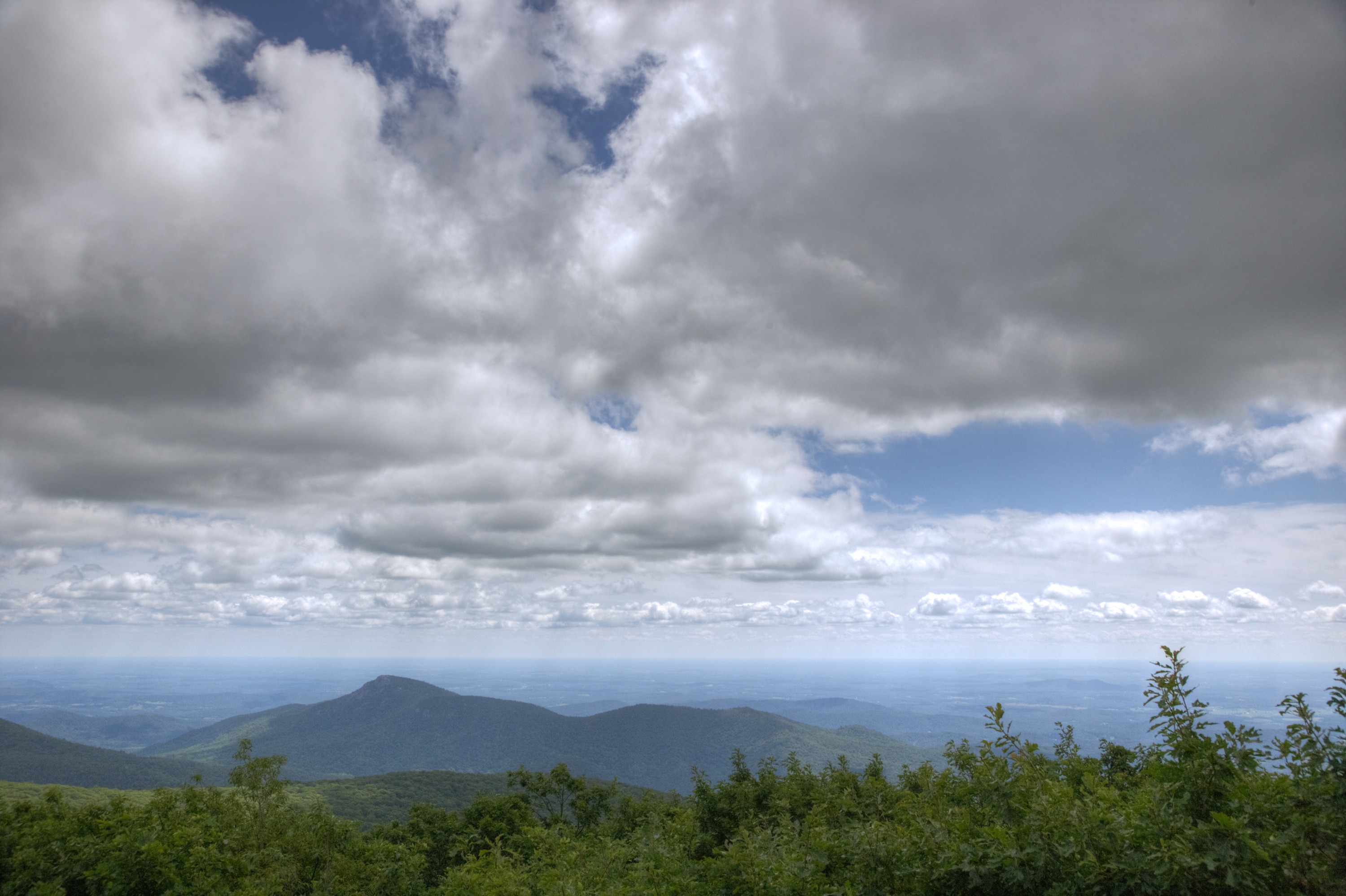
A hike to the top of Shenandoah’s highest peak, offering 360-degree views of the Shenandoah Valley, the Blue Ridge Mountains, and the Virginia Piedmont.
Note that very limited closures are in effect in an effort to prevent further degradation of important outcrop ecosystems on Hawksbill.
Distance: 2.1-mile round trip hike
Difficulty: Easiest ( hiking difficulty scale )
Hiking Time: 1 hour 30 minutes
Elevation Gain: 520 feet
Hike Description
From the trailhead at the Upper Hawksbill parking area (mile 46.5), take the Upper Hawksbill Trail to Byrds Nest 2 Shelter.
Follow the trail to the stone viewing platform.
Retrace your steps to return.
Accessibility This trail does not meet ADA accessibility guidelines.
Rose River Falls the Park Service's write-up
4-5 Hours · dogs allowed
Start Central District (Mile 49.4)
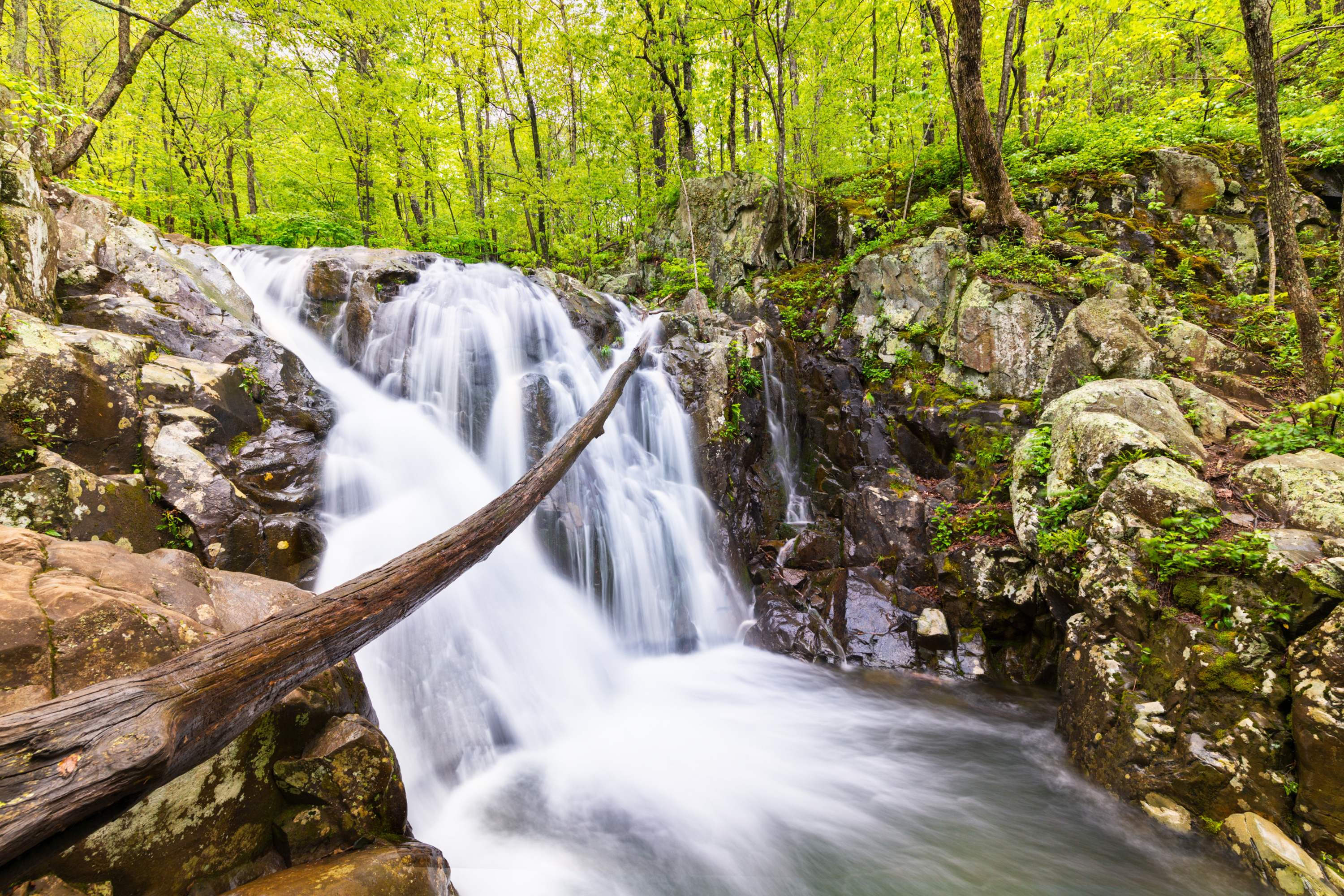
A hike to a dazzling 67 foot waterfall. For most of this hike, you’ll be on a beautiful trail in the Shenandoah Wilderness.
Distance: 4-mile circuit hike
Difficulty: Moderate (explanation of our hiking difficulty scale )
Hiking Time: 4 hours 30 minutes
Elevation Gain: 910 feet
Hike Description
From the Fishers Gap parking area (mile 49.4), cross Skyline Drive and start down the fire road.
Just after the chain, take a left onto the Skyland-Big Meadows Horse Trail (yellow-blazed).
In about 0.6-mile take the blue-blazed Rose River Loop Trail.
Follow it past the 67-foot falls.
Continue to the bridge, where you begin hiking up a steep, rocky section past beautiful cascades.
At the fire road (yellow-blazed), turn right across bridge.
For an added treat (and about .25-mile more hiking), you can take the Dark Hollow Falls Trail to the base of the falls and back.
Then continue uphill about one mile back to Skyline Drive.
Accessibility This trail does not meet ADA accessibility guidelines.
Skyland-Big Meadows Horse Trail Access
Skyland-Big Meadows Horse Trail/Whiteoak Canyon Road
Slaughter Trail
Slaughter/Conway Connector Trail
Snead Farm Loop Trail
Snead Farm Loop the Park Service's write-up
2-3 Hours · dogs allowed
Start North District (Mile 5.1)
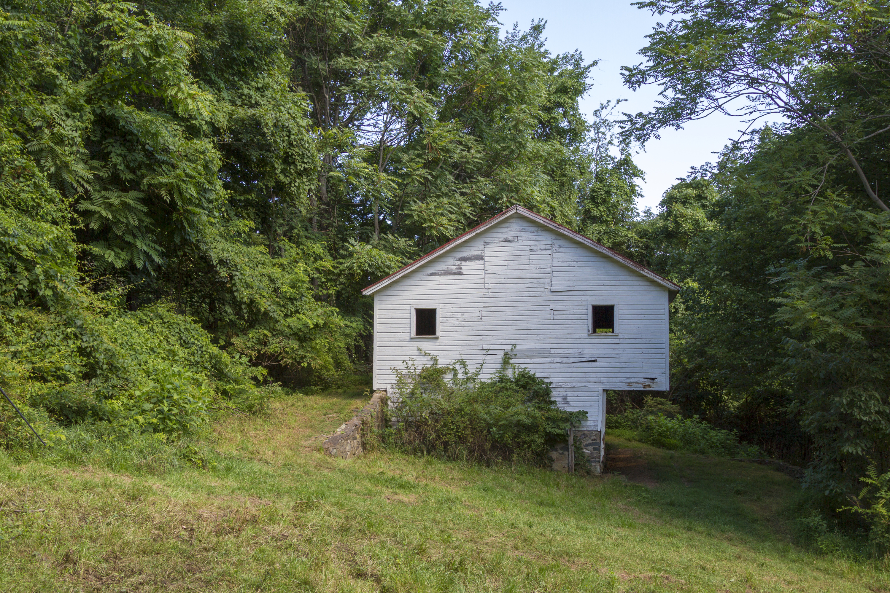
Discover the cultural history of Shenandoah National Park as you hike to the historic Snead family barn.
Distance: 3.7-mile circuit hike
Difficulty: Moderate (explanation of our hiking difficulty scale )
Hiking Time: 2 hours 30 minutes
Elevation Gain: 580 feet
Hike Description
From the trailhead located across Skyline Drive from Dickey Ridge Visitor Center, go right onto Dickey Ridge Trail.
Go left on Snead Farm Road, which will take you to Snead Barn. For a shorter, 0.7-mile round-trip hike, turn around here and return to your starting point.
To continue on the loop hike, stay on the Snead Farm Loop Trail to its intersection with the Dickey Ridge Trail.
Turn right and follow it back to your starting point.
Accessibility This trail does not meet ADA accessibility guidelines.
South River Falls Trail
South River Falls the Park Service's write-up
2-3 Hours · dogs allowed
Start Central District (Mile 62.7)
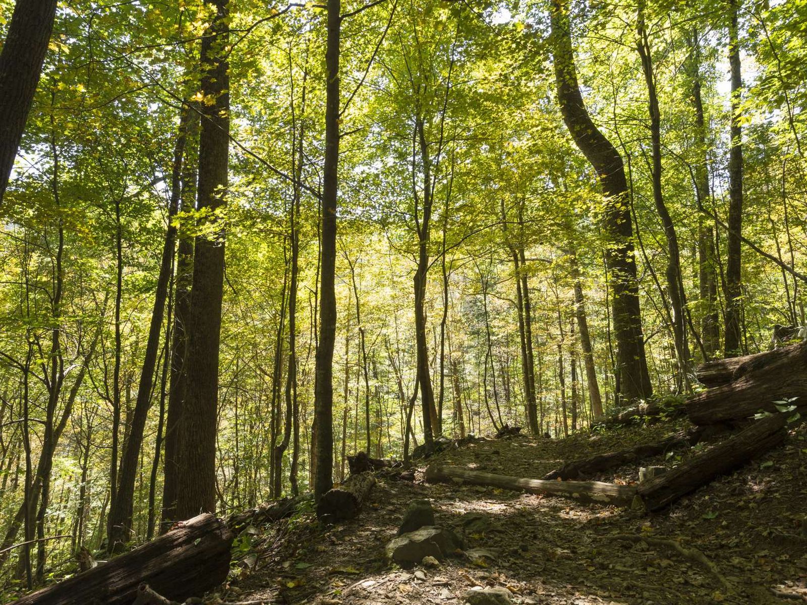
From the South River Picnic Grounds, this route is a circuit hike that takes you to the base of a 83’ waterfall. A great hike for wildflower and bird enthusiasts, alike! This hike has one stream crossing.
Distance: 3.3-mile circuit hike
Difficulty: Moderate (explanation of our hiking difficulty scale )
Hiking Time: 2 hour 15 minutes
Elevation Gain: 910 feet
Hike Description
From the trailhead just below the South River Picnic Grounds comfort station (mile 62.7), take the blue-blazed South River Falls Trail.
You'll cross the Appalachian Trail, but stay on the South River Falls Trail to the stone-walled observation point.
From the observation point, continue on the South River Falls Trail to the trailpost.
Go left onto the yellow-blazed South River Falls Road.
The trail joins the South River Fire Road.
Continue on the fire road to its intersection with the Appalachian Trail.
Turn left and follow the A.T. (white-blazed) to its intersection with the South River Falls Trail.
Go right to return to your starting point.
Accessibility This trail does not meet ADA accessibility guidelines.
South River Falls Observation Point the Park Service's write-up
1-2 Hours · dogs allowed
Start Central District (Mile 62.7)
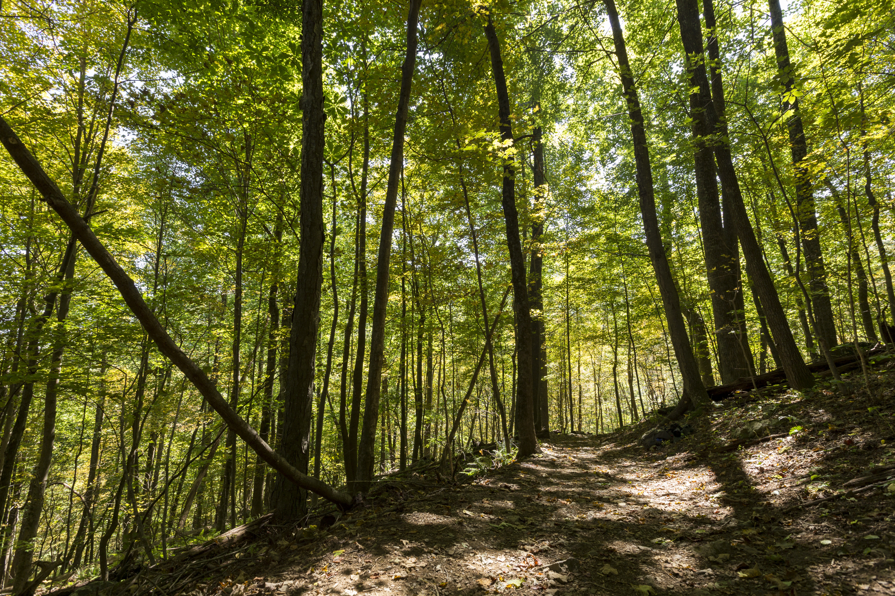
From South River Picnic Grounds, this hike leads you through a verdant forest alive with a wide variety of plant and animal life to a stone-walled observation point overlooking an 83 foot waterfall. Be prepared for one stream crossing.
Distance: 2.6-mile round trip hike
Difficulty: Moderate (explanation of our hiking difficulty scale )
Hiking Time: 1 hour 15 minutes
Elevation Gain: 850 feet
Hike Description
Just below the South River picnic grounds comfort station (mile 62.7), take the blue-blazed South River Falls Trail.
You’ll cross the Appalachian Trail, but stay on the South River Falls Trail to the stone-walled observation point. You can continue to the base of the falls from here if you wish, adding a steep and rocky 1.5-miles to your hike.
Retrace your steps to return to your starting point.
Accessibility This trail does not meet ADA accessibility guidelines.
South River Falls Trail - Falls Access
South River Maint Hut (PATC) - Bear Pole Trail
South River Maint Hut (PATC) - Spring Trail
South River Picnic Ground Trail
Picnic areas
Along the way South River Picnic Area
Springhouse Trail
Staunton River Trail
Stony Man Horse Trail
Stony Man Ovlk Privy Trail
Stony Man Parking
Stony Man Summit Trail
Stony Man Trail
Stony Man the Park Service's write-up
1-2 Hours · no dogs
Start Central District (Mile 41.7)
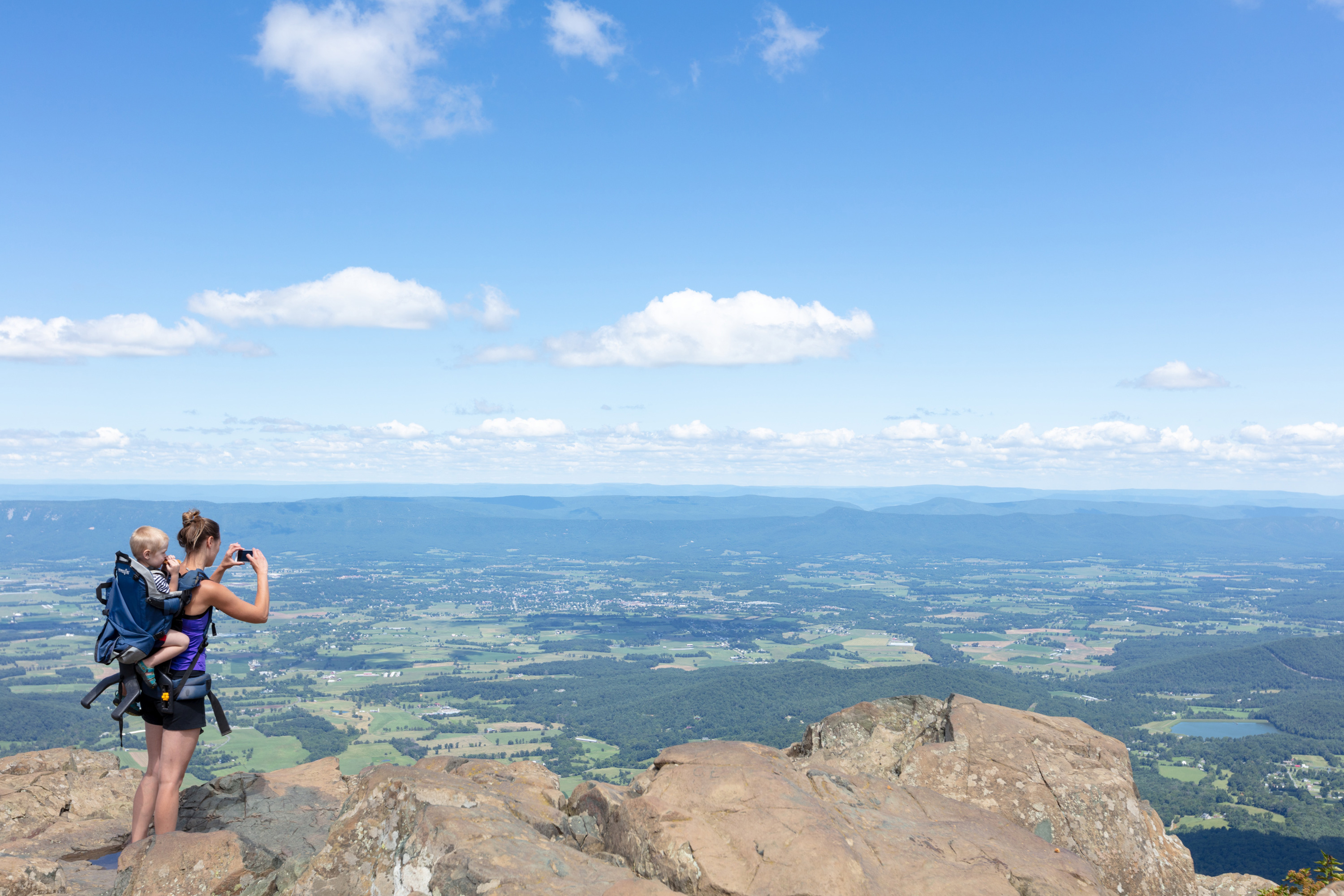
Pets are not allowed on this hike. This enjoyable hike brings you to an outstanding view of the Shenandoah Valley, Massanutten Mountain, and beyond.
Distance: 1.6-mile round trip hike
Difficulty: Easiest ( hiking difficulty scale )
Hiking Time: 1 hours
Elevation Gain: 340 feet
Hike Description
From the Stony Man parking area (mile 41.7), take the Appalachian Trail (A.T.) to the trail post.
Continue on the blue-blazed Stony Man Trail to the viewpoint.
Then continue on the Stony Man Trail to its intersection with the A.T. and retrace your steps to your starting point.
Pets Pets are not allowed on Stony Man Trail.
Accessibility Although pets are not allowed on the Stony Man Trail, service animals are welcome. This trail does not meet ADA accessibility guidelines.
Stony Mountain Trail
Story of Forest Trail
Story of Forest Trail Access-CG
Story of Forest/Dark Hollow Connector Trail
Stull Run Trail
Sugarloaf Trail
Sugarloaf Loop the Park Service's write-up
6-7 Hours · dogs allowed
Start North District (Mile 22)
Sugarloaf leads to a viewpoint. In the early summer, the showy white flowers of mountain laurel bloom in abundance here.
Distance: 5.0-mile circuit hike
Difficulty: Moderate (explanation of our hiking difficulty scale )
Hiking Time: 7 hours
Elevation Gain: 1,120 feet
Hike Description
From the trailhead at the Piney River Parking Area (mile 22), take the Piney Branch Upper Trail to its intersection with the Pole Bridge Link Trail.
Go left on the Pole Bridge Link Trail.
Turn left onto Sugarloaf Trail. This will bring you out near Skyline Drive, above Hogback Overlook.
Turn left to take the Appalachian Trail (white-blazed) back to your starting point.
Accessibility This trail does not meet ADA accessibility guidelines.
Tanners Ridge Horse Connector Trail
Story of the Forest the Park Service's write-up
1-2 Hours · no dogs
Start Central District (Mile 51)
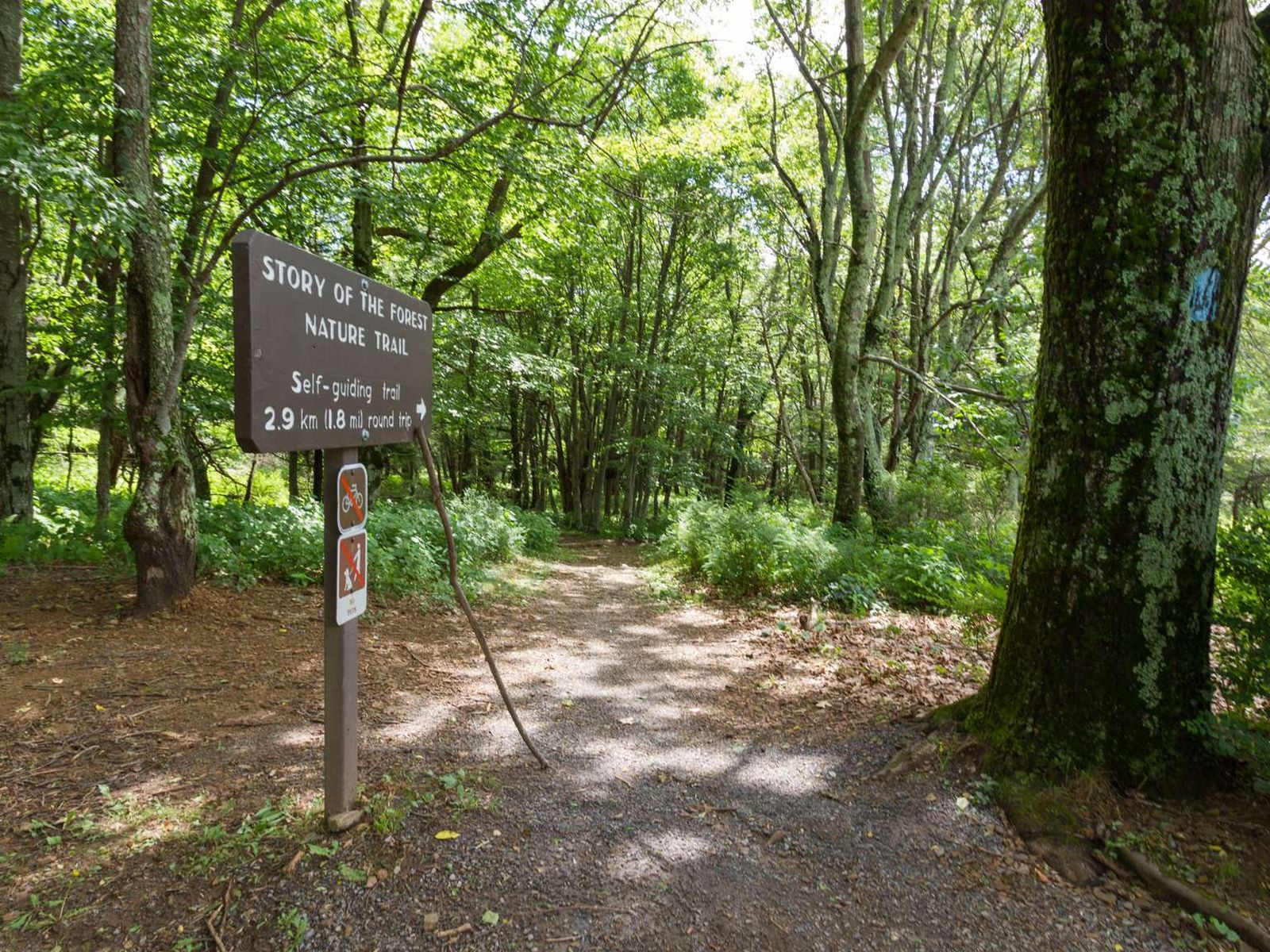
Pets are not allowed on this hike. An easier stroll through the woods that passes next to the Big Meadows Air Quality Station, an important place for scientists and researchers to learn about air quality in Shenandoah.
Distance: 1.8-mile round trip hike
Difficulty: Easiest (explanation of our hiking difficulty scale )
Hiking Time: 1 hours 30 minutes
Elevation Gain: 290 feet
Hike Description
From Byrd Visitor Center (mile 51), follow the sidewalk to the trailhead and take the trail right.
After crossing the bridge, turn left and follow the trail to its intersection with a paved walkway near the campground office.
Turn left and follow the walkway back to your starting point.
Pets Pets are not allowed on Story of the Forest Trail.
Accessibility Although pets are not allowed on the Story of the Forest Trail, service animals are welcome. This trail does not meet ADA accessibility guidelines.
Thompson Hollow Trail
Thornton River Lower Trail
Thornton River Upper Trail
Traces Trail
Traces Trail the Park Service's write-up
1-2 Hours · dogs allowed
Start North District (Mile 22.2)
A hike that follows a trail around Mathews Arm Campground. Along the way, you’ll see traces left behind by former residents of the area.
Distance: 1.7-mile circuit hike
Difficulty: Easiest (explanation of our hiking difficulty scale )
Hiking Time: 1 hours 15 minutes
Elevation Gain: 333 feet
Hike Description
From the Mathews Arm Campground registration parking area (mile 22.2), take the blueblazed Traces Nature Trail around the campground. It will loop back around to your starting point.
Accessibility This trail does not meet ADA accessibility guidelines.
Trayfoot Mountain Trail
Turk Branch Trail
Turk Mountain the Park Service's write-up
2-3 Hours · dogs allowed
Start South District (Mile 94.1)
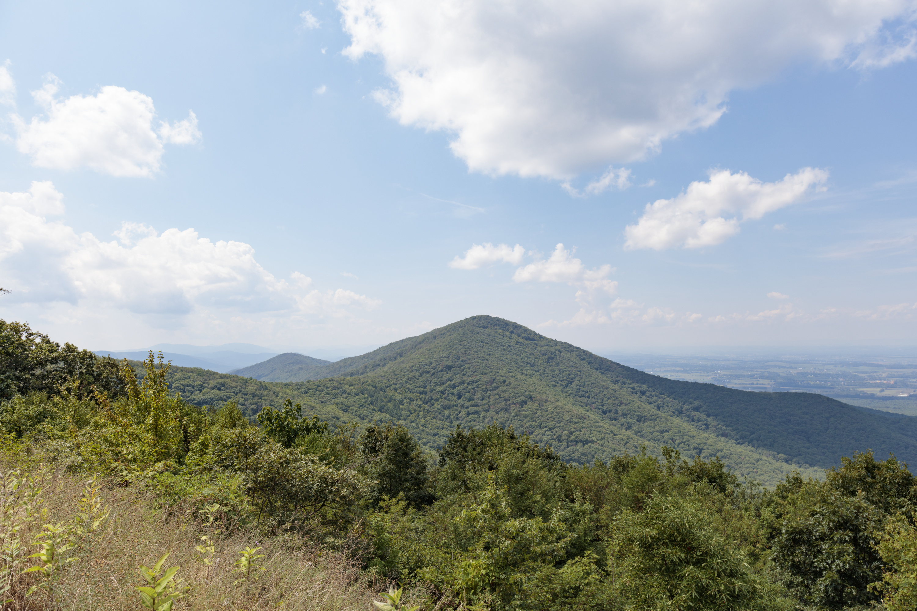
A hike to the 2,981 foot summit of Turk Mountain, located in the Shenandoah Wilderness, that provides a wonderful view to the west.
Distance: 2.2-mile round trip hike
Difficulty: Easiest (explanation of our hiking difficulty scale )
Hiking Time: 2 hours 15 minutes
Elevation Gain: 690 feet
Hike Description
From the Turk Mountain parking area (mile 94.1), cross Skyline Drive and take the Appalachian Trail south to the trailpost.
Go right onto the Turk Mountain Trail and follow it to the summit for a wonderful view to the west.
Retrace your steps to return to your starting point.
Accessibility This trail does not meet ADA accessibility guidelines.
Turk Gap Trail
Turk Mtn Trail
Tuscarora Trail
Tuscarora-Overall Run Access Trail
Tuscarora-Overall Run Trail
Upper Dark Hollow Trail
Weddlewood Trail
White Rocks Trail
Whiteoak Canyon - acces trail to falls
Whiteoak Canyon Access Trail (at Bridge 3)
Whiteoak Canyon Trail
Ranger stations
Along the way Lower Whiteoak Canyon Ranger Station
Limberlost the Park Service's write-up
1-2 Hours · no dogs
Start Central District (Mile 43)
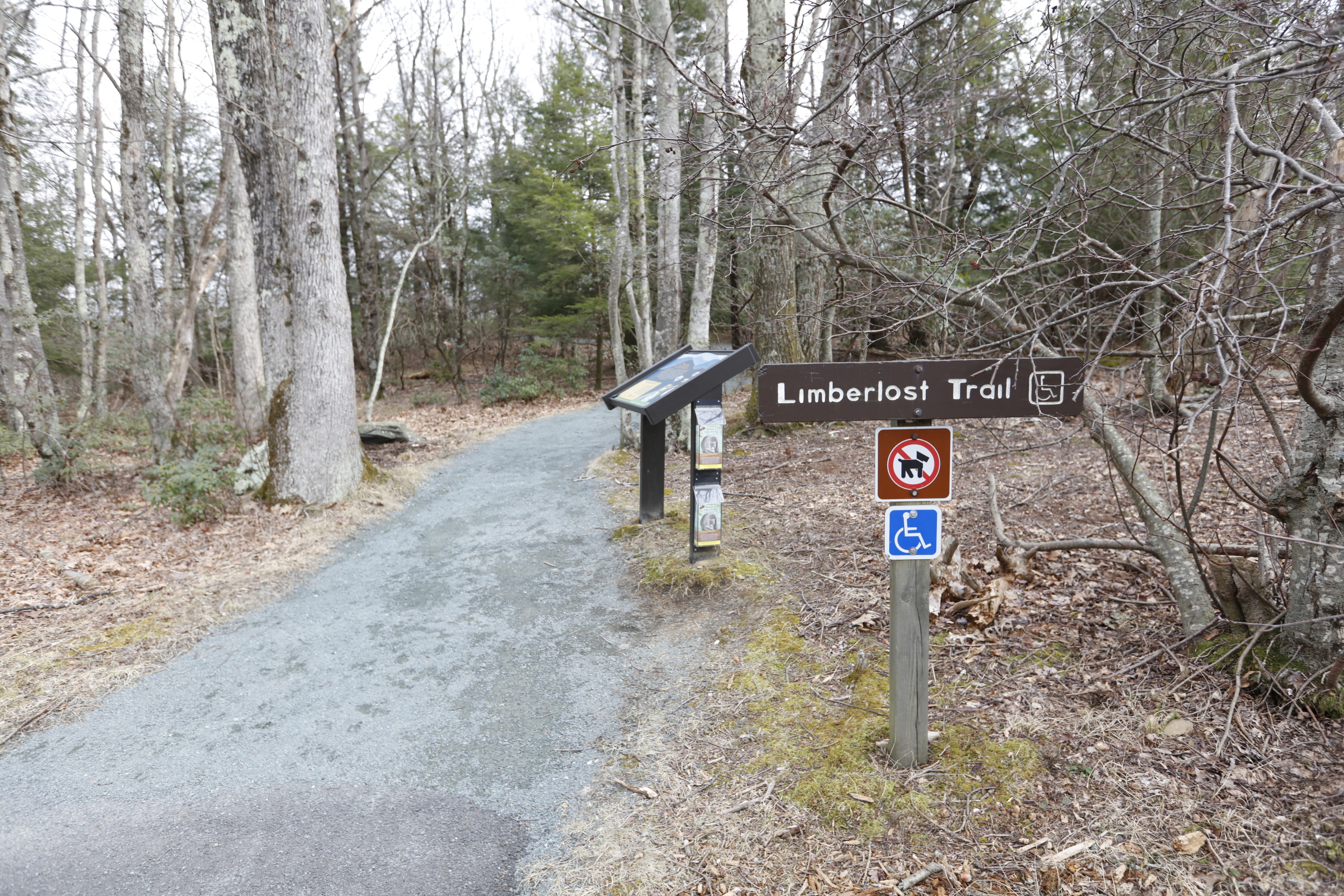
Pets are not allowed on this hike. A walk through the forest with mountain laurel in the springtime and an example of a columnar jointing geological feature. Limberlost is a fully accessible trail (see more specific information below).
This hike is also a designated TRACK Trail, featuring a self-guided brochure and informational sign that turns your visit into a fun and exciting outdoors experience for kids of all ages. To find out more information about TRACK Trails and to log your adventure, visit the Kids in Parks website .
Distance: 1.3-mile circuit hike
Difficulty: Easiest (explanation of our hiking difficulty scale )
Hiking Time: 1 hour 30 minutes
Elevation Gain: 130 feet
Hike Description
From the trailhead at the Limberlost parking area (mile 43), take the trail to the right of the trailhead and follow the greenstone path.
Stay on the path to loop back around to your starting point.
Pets Pets are not allowed on this hike.
Accessibility Although pets are not allowed on Limberlost Trail, service animals are welcome. Limberlost is a fully accessible trail. Length: 2338.3 yards/2138.1 meters Surface Type: primarily crushed greenstone Typical Tread Width: 5 feet/1.5 meters Minimum Tread Width: 2.7 feet/.8 meters Typical Running Slope: 3.5% Maximum Running Slope: 10.3% Typical Cross Slope: 1.6% Maximum Cross Slope: 5.0%
Whiteoak Falls (Lower) the Park Service's write-up
1-2 Hours · dogs allowed
Start Central District (Park Boundary)

An easier hike to the base of the beautiful cascades and lower falls in Whiteoak Canyon. Note that a Park entrance fee is still required.
Distance: 2-mile round trip hike
Difficulty: Easiest ( hiking difficulty scale )
Hiking Time: 1 hours 30 minutes
Elevation Gain: 500 feet
Hike Description
From the Whiteoak Canyon parking area at the Park boundary, begin on Whiteoak Canyon Trail and keep right at the intersection with Cedar Run Trail.
Cross a small stream and continue to the base of the lower falls.
Return by the same route.
Accessibility This trail does not meet ADA accessibility guidelines.
Whiteoak Falls (Upper) the Park Service's write-up
3-4 Hours · dogs allowed
Start Central District (Mile 42.6)
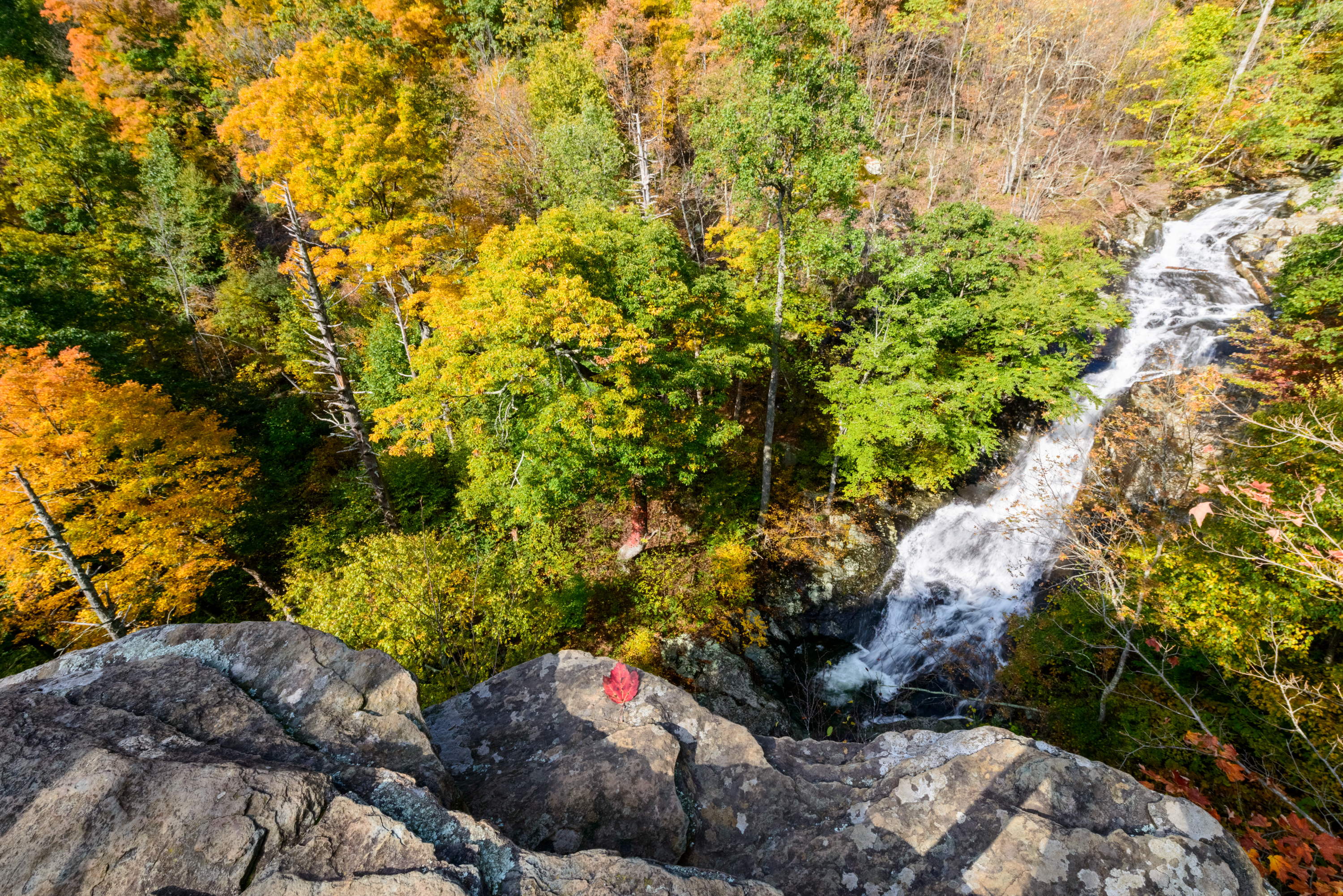
This challenging hike to cascades and waterfalls has been popular since the early days of Skyland Resort. This particular hike goes to the upper falls before returning.
Distance: 4.6-mile round trip hike
Difficulty: Moderate ( hiking difficulty scale )
Hiking Time: 3 hours 30 minutes
Elevation Gain: 1,040 feet
Hike Description
From the trailhead at the Whiteoak Canyon parking area (mile 42.6), take the Whiteoak Canyon Trail.
Pass the junctions for the Old Rag Fire Road and the Limberlost Trail.
About 2.3 miles from the start you will come to a rocky ledge with a view of the upper falls.
Retrace your steps to return to the parking lot.
Accessibility This trail does not meet ADA accessibility guidelines.
Wildcat Ridge Trail
Riprap - Wildcat Ridge the Park Service's write-up
8-9 Hours · dogs allowed
Start South District (Mile 90 or 92.1)
You may choose start this hike at either the Riprap parking area or the Wildcat Ridge parking area. No matter which route you choose, this hike will take you through the forests of the Shenandoah Wilderness and over several stream crossings, while offering beautiful views of the hollows and valleys to the west and north.
Distance: 9.8-mile circuit hike
Difficulty: Very Strenuous (explanation of our hiking difficulty scale )
Hiking Time: 8 hours 15 minutes
Elevation Gain: 2,365 feet
Hike Description - From Riprap Parking
From the trailhead at the Riprap parking area (mile 90), follow the Appalachian Trail north.
Turn left on Riprap Trail, continuing past Cavalry Rocks and Chimney Rocks.
Turn left on Wildcat Ridge Trail.
Take another left on the A.T. north, and return to your starting point.
Hike Description - From Wildcat Ridge Parking
From the trailhead at the Wildcat Ridge parking area (mile 92.1), take the Wildcat Ridge Trail past its intersection with the Appalachian Trail.
Turn right onto Riprap Trail.
Take another right on the A.T. south.
Turn left on Wildcat Ridge Trail to return to your starting point.
Accessibility This trail does not meet ADA accessibility guidelines.
More hikes the Park Service describes
Write-ups that name no single mapped trail, in the Service's words.
- All About Hiking - Start Here! · dogs allowed
With over 500 miles of trails in Shenandoah National Park, chances are high that you'll be lacing up your hiking boots at some point on your next trip here. - Hightop Summit · 3-4 Hours · dogs allowed
Hightop Mountain Parking Area (mile 66.7) | Wind your way up a ridge on this hike to a rocky viewpoint that stands at 3,296 feet. - Lands Run Falls · 1-2 Hours · dogs allowed
MILE 9.2 | A short hike down a fire road to a series of cascades that descend about 80 feet into a gorge. Note that it may not have water in dry seasons. - Old Rag Summit via Berry Hollow · 6-7 Hours · no dogs
Berry Hollow Parking Area (Park Boundary) | Visitors must obtain an Old Rag day-use ticket in advance of this hike. Pets are not allowed. Old Rag is a popular, strenuous hike with sweeping views. This route starts from the Berry Hollow parking area and allows you to get to the summit without having to navigate the rock scramble.
About these trails
The lines are the National Park Service's public trails layer, the trailheads and the waterfalls, views, peaks and historic places along them the Service's public points of interest, read 2026-10-14 and simplified for the map. The write-ups are the Service's own "things to do", unedited. Heights come from USGS 3DEP through Terrain Tiles on AWS (Mapzen/Tilezen), read along each line and rounded; a short trail on steep ground can be off by a few tens of feet. Closures change: check the park's own site before you go.