
Whiteoak Canyon Trail
Ranger stations
Along the way Lower Whiteoak Canyon Ranger Station
Limberlost the Park Service's write-up
1-2 Hours · no dogs
Start Central District (Mile 43)
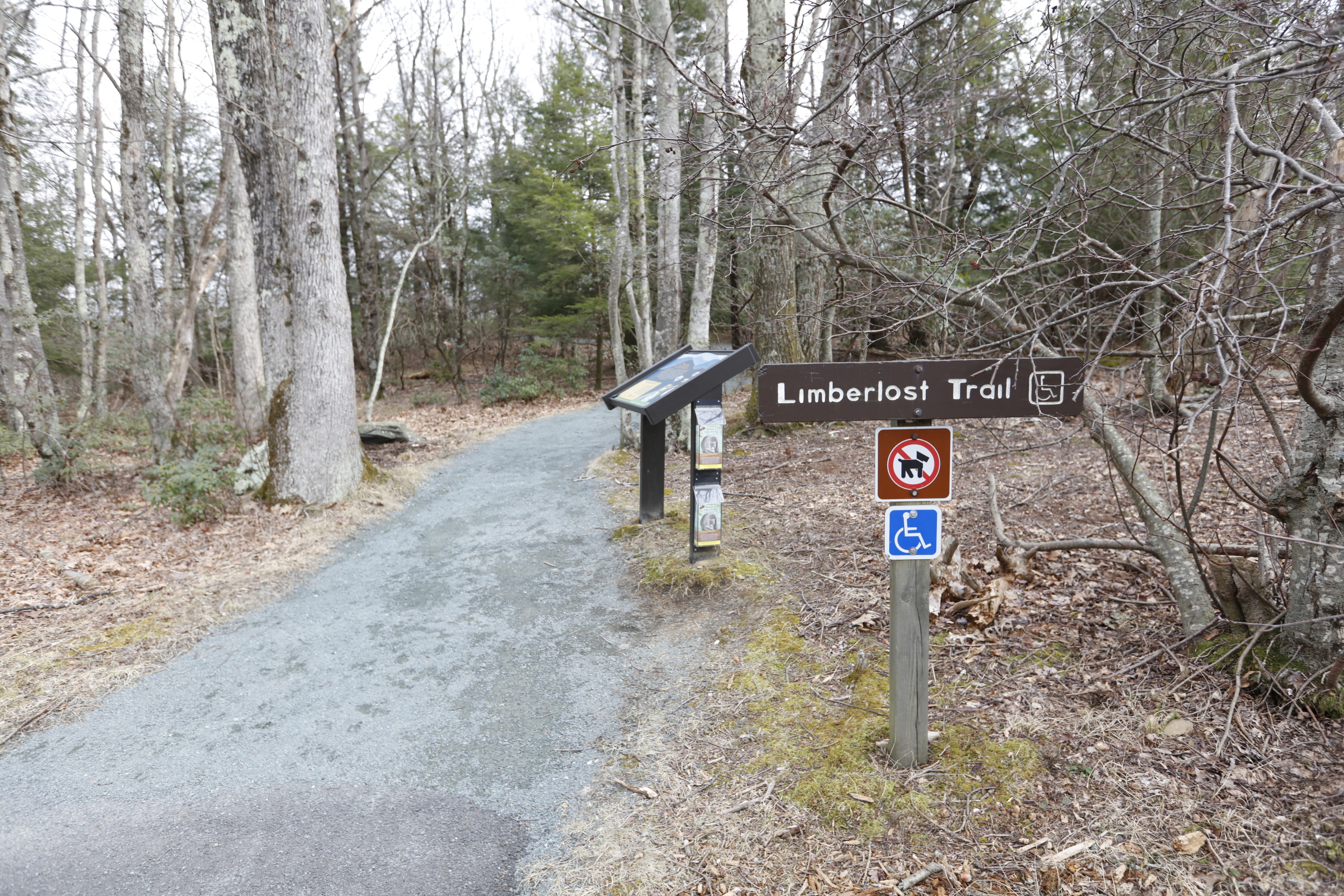
Pets are not allowed on this hike. A walk through the forest with mountain laurel in the springtime and an example of a columnar jointing geological feature. Limberlost is a fully accessible trail (see more specific information below).
This hike is also a designated TRACK Trail, featuring a self-guided brochure and informational sign that turns your visit into a fun and exciting outdoors experience for kids of all ages. To find out more information about TRACK Trails and to log your adventure, visit the Kids in Parks website .
Distance: 1.3-mile circuit hike
Difficulty: Easiest (explanation of our hiking difficulty scale )
Hiking Time: 1 hour 30 minutes
Elevation Gain: 130 feet
Hike Description
From the trailhead at the Limberlost parking area (mile 43), take the trail to the right of the trailhead and follow the greenstone path.
Stay on the path to loop back around to your starting point.
Pets Pets are not allowed on this hike.
Accessibility Although pets are not allowed on Limberlost Trail, service animals are welcome. Limberlost is a fully accessible trail. Length: 2338.3 yards/2138.1 meters Surface Type: primarily crushed greenstone Typical Tread Width: 5 feet/1.5 meters Minimum Tread Width: 2.7 feet/.8 meters Typical Running Slope: 3.5% Maximum Running Slope: 10.3% Typical Cross Slope: 1.6% Maximum Cross Slope: 5.0%
Whiteoak Falls (Lower) 2 mi round trip · the Park Service's write-up
1-2 Hours · dogs allowed
Start Central District (Park Boundary)
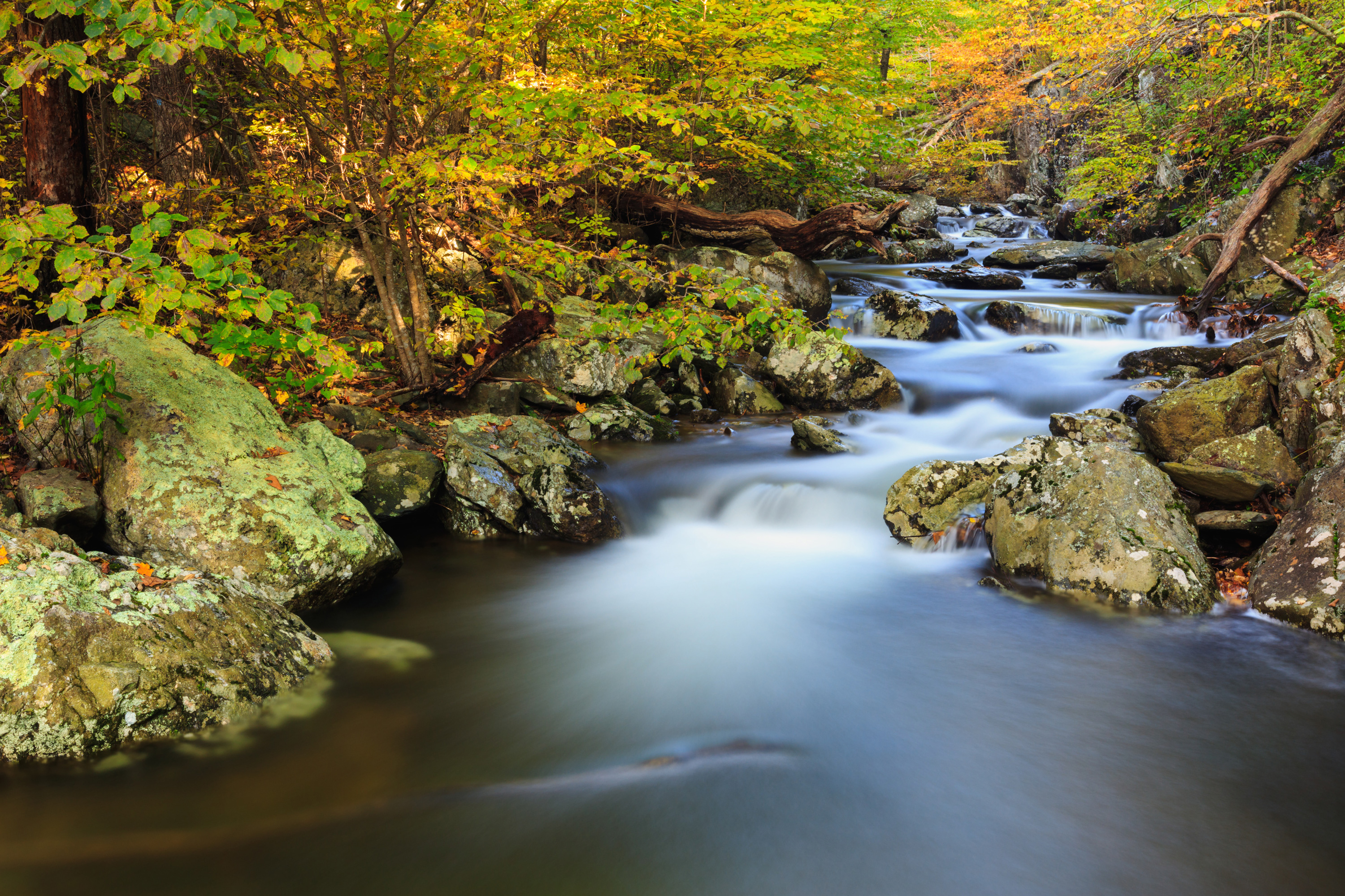
An easier hike to the base of the beautiful cascades and lower falls in Whiteoak Canyon. Note that a Park entrance fee is still required.
Distance: 2-mile round trip hike
Difficulty: Easiest ( hiking difficulty scale )
Hiking Time: 1 hours 30 minutes
Elevation Gain: 500 feet
Hike Description
From the Whiteoak Canyon parking area at the Park boundary, begin on Whiteoak Canyon Trail and keep right at the intersection with Cedar Run Trail.
Cross a small stream and continue to the base of the lower falls.
Return by the same route.
Accessibility This trail does not meet ADA accessibility guidelines.
Whiteoak Falls (Upper) 4.6 mi round trip · the Park Service's write-up
3-4 Hours · dogs allowed
Start Central District (Mile 42.6)
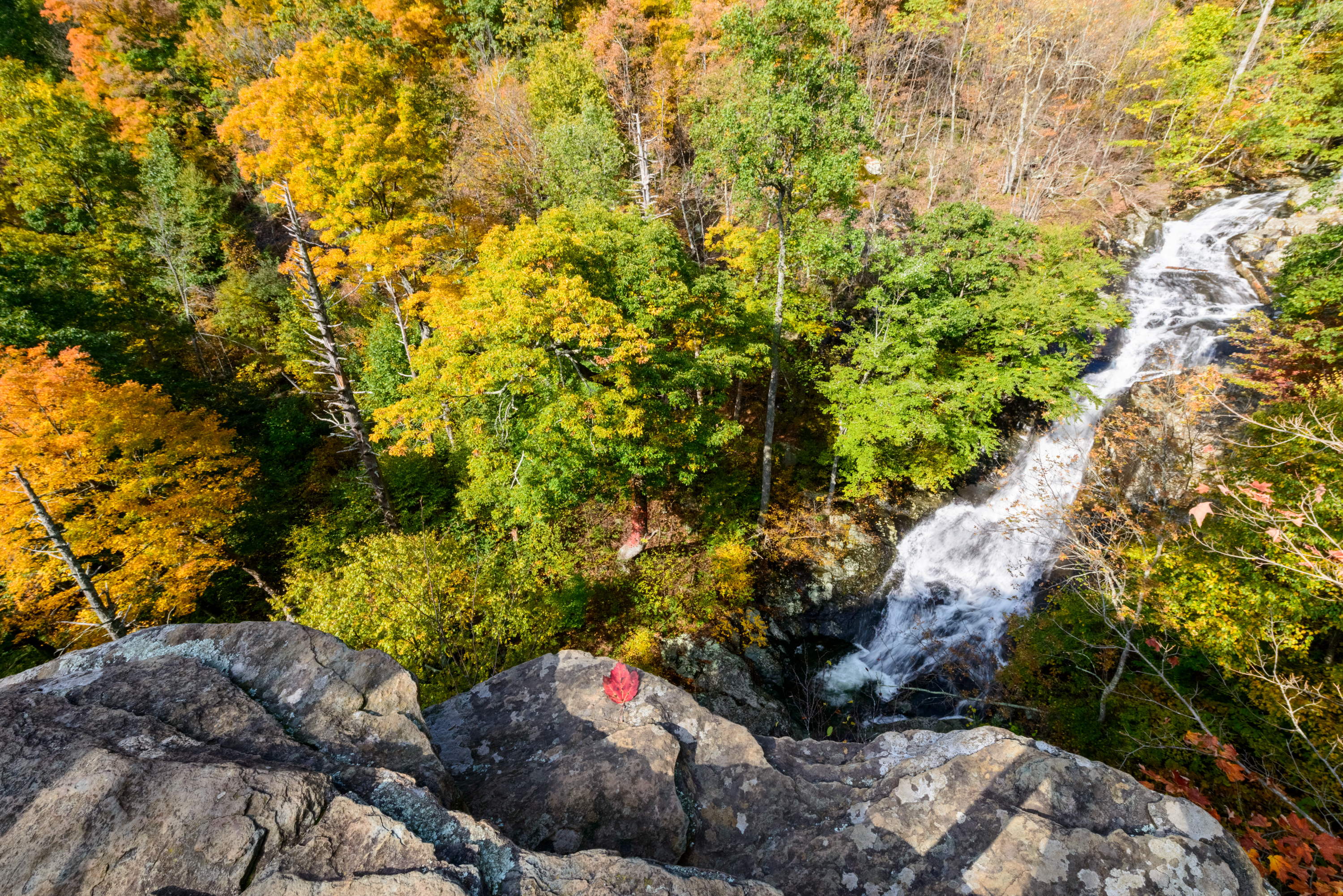
This challenging hike to cascades and waterfalls has been popular since the early days of Skyland Resort. This particular hike goes to the upper falls before returning.
Distance: 4.6-mile round trip hike
Difficulty: Moderate ( hiking difficulty scale )
Hiking Time: 3 hours 30 minutes
Elevation Gain: 1,040 feet
Hike Description
From the trailhead at the Whiteoak Canyon parking area (mile 42.6), take the Whiteoak Canyon Trail.
Pass the junctions for the Old Rag Fire Road and the Limberlost Trail.
About 2.3 miles from the start you will come to a rocky ledge with a view of the upper falls.
Retrace your steps to return to the parking lot.
Accessibility This trail does not meet ADA accessibility guidelines.