
South River Falls Trail
South River Falls the Park Service's write-up
2-3 Hours · dogs allowed
Start Central District (Mile 62.7)
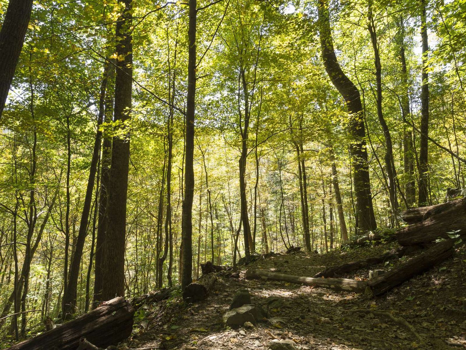
From the South River Picnic Grounds, this route is a circuit hike that takes you to the base of a 83’ waterfall. A great hike for wildflower and bird enthusiasts, alike! This hike has one stream crossing.
Distance: 3.3-mile circuit hike
Difficulty: Moderate (explanation of our hiking difficulty scale )
Hiking Time: 2 hour 15 minutes
Elevation Gain: 910 feet
Hike Description
From the trailhead just below the South River Picnic Grounds comfort station (mile 62.7), take the blue-blazed South River Falls Trail.
You'll cross the Appalachian Trail, but stay on the South River Falls Trail to the stone-walled observation point.
From the observation point, continue on the South River Falls Trail to the trailpost.
Go left onto the yellow-blazed South River Falls Road.
The trail joins the South River Fire Road.
Continue on the fire road to its intersection with the Appalachian Trail.
Turn left and follow the A.T. (white-blazed) to its intersection with the South River Falls Trail.
Go right to return to your starting point.
Accessibility This trail does not meet ADA accessibility guidelines.
South River Falls Observation Point 2.6 mi round trip · the Park Service's write-up
1-2 Hours · dogs allowed
Start Central District (Mile 62.7)
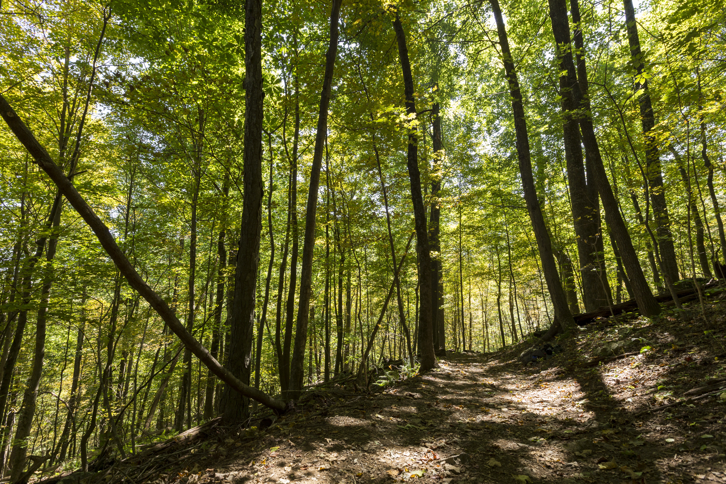
From South River Picnic Grounds, this hike leads you through a verdant forest alive with a wide variety of plant and animal life to a stone-walled observation point overlooking an 83 foot waterfall. Be prepared for one stream crossing.
Distance: 2.6-mile round trip hike
Difficulty: Moderate (explanation of our hiking difficulty scale )
Hiking Time: 1 hour 15 minutes
Elevation Gain: 850 feet
Hike Description
Just below the South River picnic grounds comfort station (mile 62.7), take the blue-blazed South River Falls Trail.
You’ll cross the Appalachian Trail, but stay on the South River Falls Trail to the stone-walled observation point. You can continue to the base of the falls from here if you wish, adding a steep and rocky 1.5-miles to your hike.
Retrace your steps to return to your starting point.
Accessibility This trail does not meet ADA accessibility guidelines.