
Skyland-Big Meadows Horse Trail
Exhibits
Along the way Highest Point On Skyline Drive
Hawksbill Summit via Upper Hawksbill 2.1 mi round trip · the Park Service's write-up
1-2 Hours · dogs allowed
Start Central District (Mile 46.5)
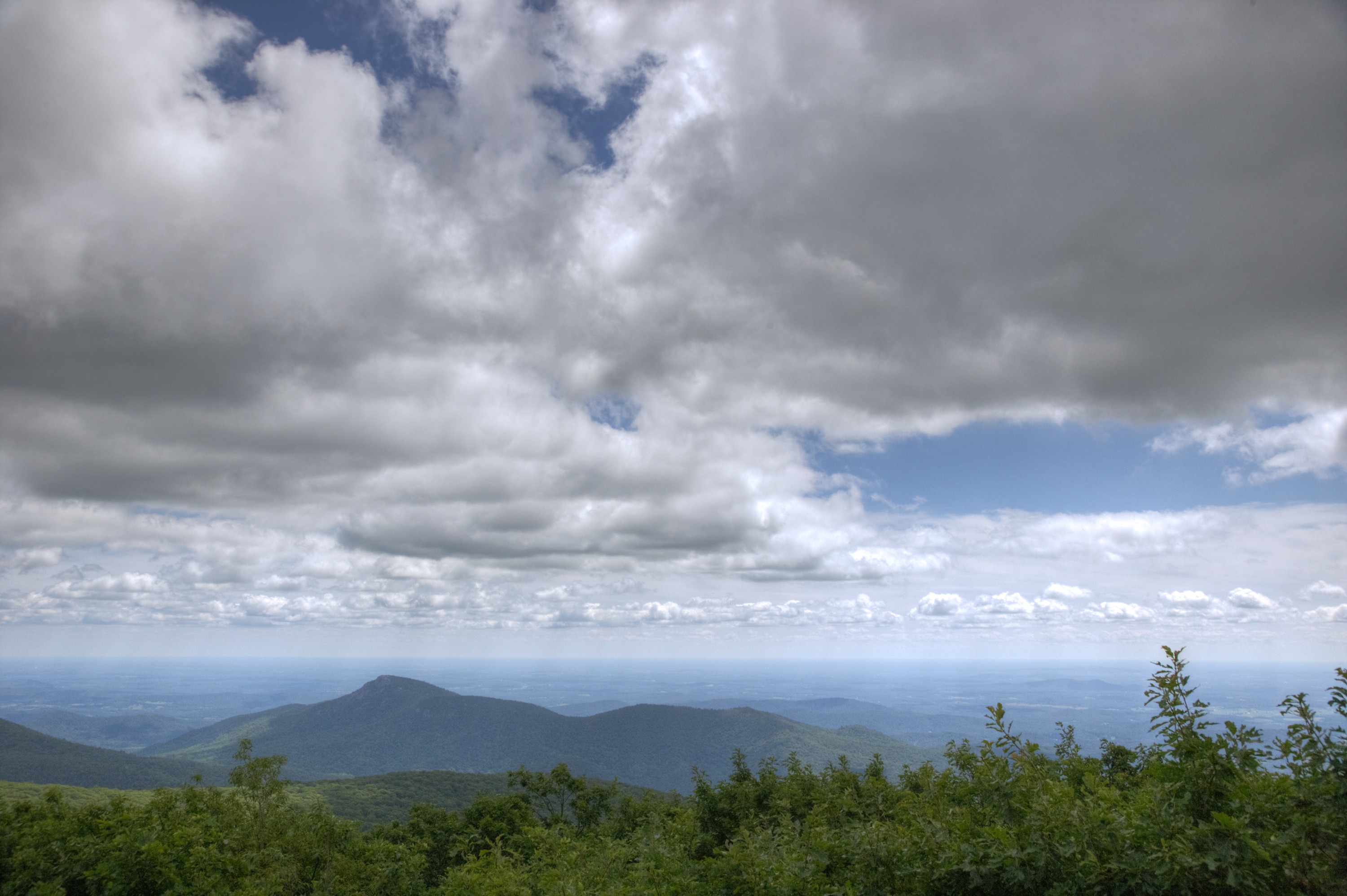
A hike to the top of Shenandoah’s highest peak, offering 360-degree views of the Shenandoah Valley, the Blue Ridge Mountains, and the Virginia Piedmont.
Note that very limited closures are in effect in an effort to prevent further degradation of important outcrop ecosystems on Hawksbill.
Distance: 2.1-mile round trip hike
Difficulty: Easiest ( hiking difficulty scale )
Hiking Time: 1 hour 30 minutes
Elevation Gain: 520 feet
Hike Description
From the trailhead at the Upper Hawksbill parking area (mile 46.5), take the Upper Hawksbill Trail to Byrds Nest 2 Shelter.
Follow the trail to the stone viewing platform.
Retrace your steps to return.
Accessibility This trail does not meet ADA accessibility guidelines.
Rose River Falls the Park Service's write-up
4-5 Hours · dogs allowed
Start Central District (Mile 49.4)
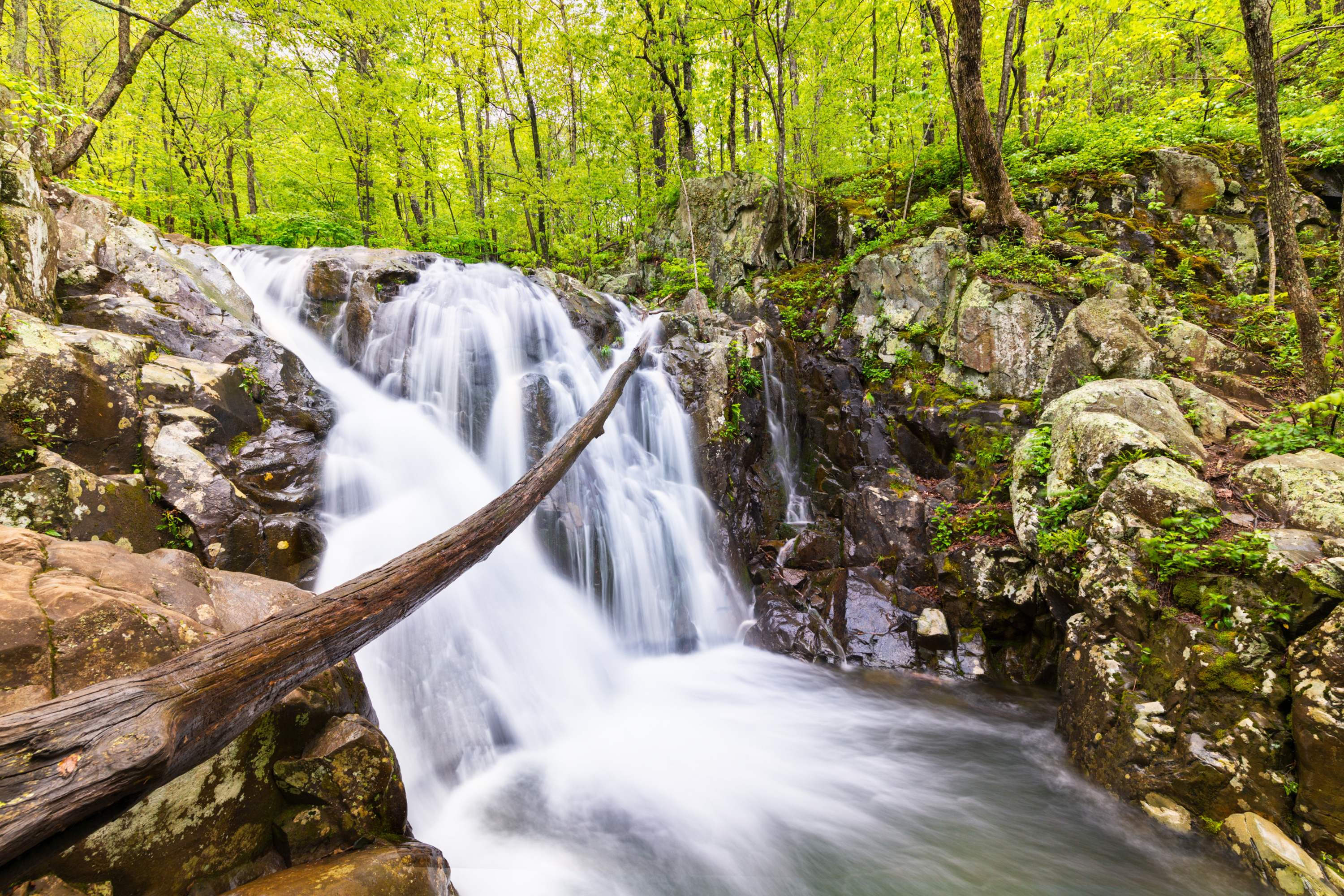
A hike to a dazzling 67 foot waterfall. For most of this hike, you’ll be on a beautiful trail in the Shenandoah Wilderness.
Distance: 4-mile circuit hike
Difficulty: Moderate (explanation of our hiking difficulty scale )
Hiking Time: 4 hours 30 minutes
Elevation Gain: 910 feet
Hike Description
From the Fishers Gap parking area (mile 49.4), cross Skyline Drive and start down the fire road.
Just after the chain, take a left onto the Skyland-Big Meadows Horse Trail (yellow-blazed).
In about 0.6-mile take the blue-blazed Rose River Loop Trail.
Follow it past the 67-foot falls.
Continue to the bridge, where you begin hiking up a steep, rocky section past beautiful cascades.
At the fire road (yellow-blazed), turn right across bridge.
For an added treat (and about .25-mile more hiking), you can take the Dark Hollow Falls Trail to the base of the falls and back.
Then continue uphill about one mile back to Skyline Drive.
Accessibility This trail does not meet ADA accessibility guidelines.