Shenandoah National Park · Virginia

Pass Mountain Loop Trail

0.2 mi of trail, end to end · Pass Mountain Loop: 3.4 mi round trip in the Service's write-up · about 20 ft of climbing · 2,439 ft–2,459 ft · earth surface · trail class Developed · hiking

Views

2,452 ft 2,459 ft · 0.2 mi high 2,459 ft

Along the way Pass Mountain

Pass Mountain Loop 3.4 mi round trip · the Park Service's write-up

2-3 Hours · dogs allowed

Start Central District (Mile 31.6)
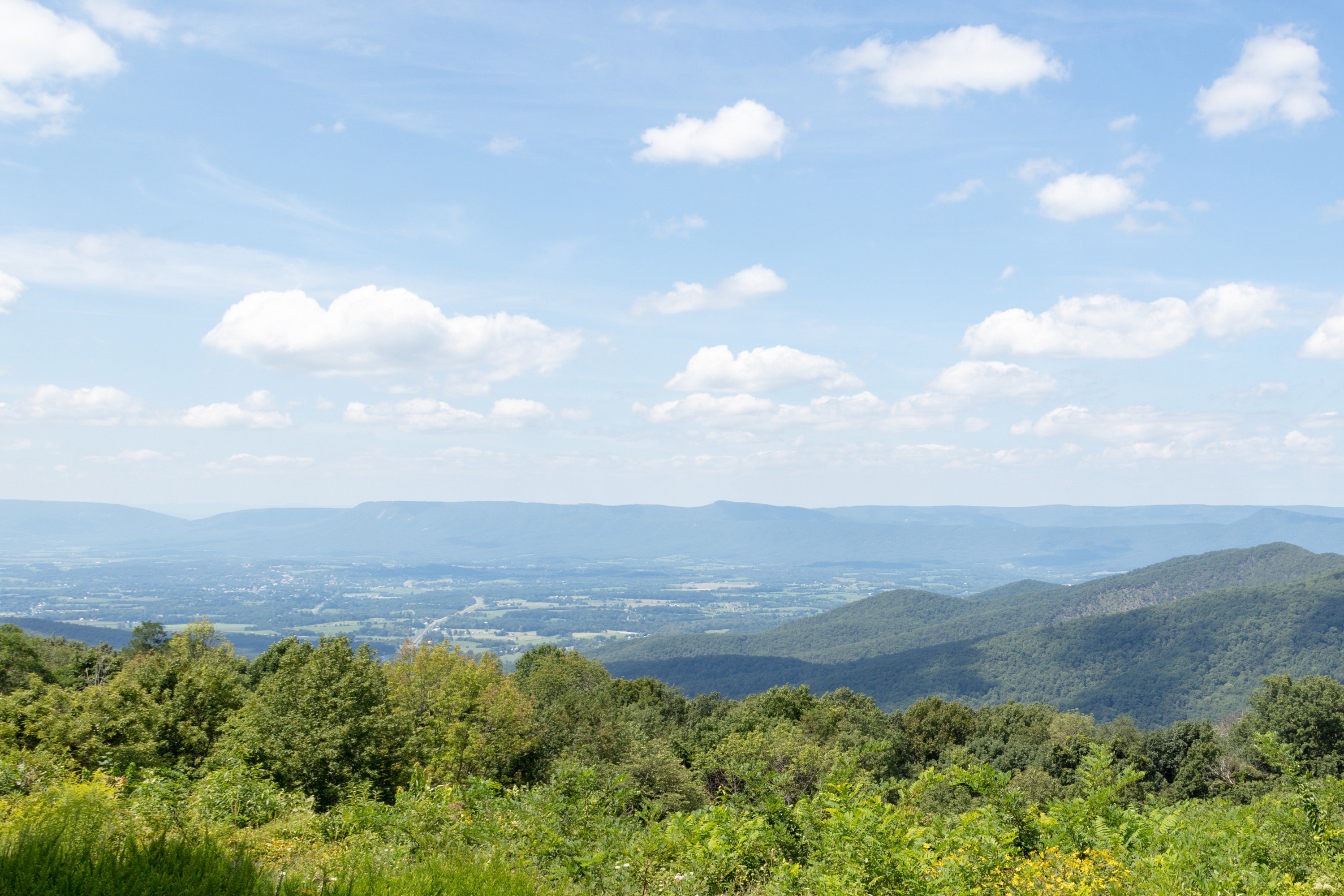
Green trees surround an overlook looking down into a valley below.

A hike along the Appalachian Trail to a shelter. Be on the lookout for wildflowers and birds through the fairly open woods along the trail!

Distance: 3.4-mile round trip hike

Difficulty: Moderate ( hiking difficulty scale )

Hiking Time: 2 hours 30 minutes

Elevation Gain: 670 feet

Hike Description

From the back of the Panorama parking area (mile 31.6), take the short connector trail to the Appalachian Trail (A.T.) and go right (north).

Cross Route 211 and Skyline Drive.

Go right onto the fire road and follow it to the hut.

Once there, look for the blue-blazed Pass Mountain Trail and take that back to the A.T. south, which will take you back to your starting point.

Accessibility This trail does not meet ADA accessibility guidelines.

This hike on nps.gov

All 317 trails in Shenandoah National ParkFind a trailOn the parks mapPark on nps.gov

About this trail's facts

The lines are the National Park Service's public trails layer, the trailheads and the waterfalls, views, peaks and historic places along them the Service's public points of interest, read 2026-10-16 and simplified for the map; the length is the line's, end to end. The write-ups are the Service's own "things to do" text, unedited. Heights come from USGS 3DEP through Terrain Tiles on AWS (Mapzen/Tilezen), read along each line and rounded; a short trail on steep ground can be off by a few tens of feet. Closures change: check the park's own site before you go.