
Mill Prong Trail
Appalachian Trail - Tanners Ridge Road 2.1 mi round trip · the Park Service's write-up
1-2 Hours · dogs allowed
Start Central District (Mile 52.8)

A fairly level hike that takes you through a former homestead on the famous Appalachian Trail.
Distance: 2.1-mile round trip hike
Difficulty: Easiest (explanation of our hiking difficulty scale )
Hiking Time: 1 hours 30 minutes
Elevation Gain: 175 feet
Hiking Description
From the Milam Gap parking area (mile 52.8), follow the Appalachian Trail (A.T.) north through a former homestead.
In about a mile, the A.T. intersects with the Tanners Ridge Road. At this point, turn around and retrace your steps to the starting point.
Accessibility This trail does not meet ADA accessibility guidelines.
Mill Prong - Laurel Prong Loop the Park Service's write-up
7-8 Hours · dogs allowed
Start Central District (Mile 52.8)
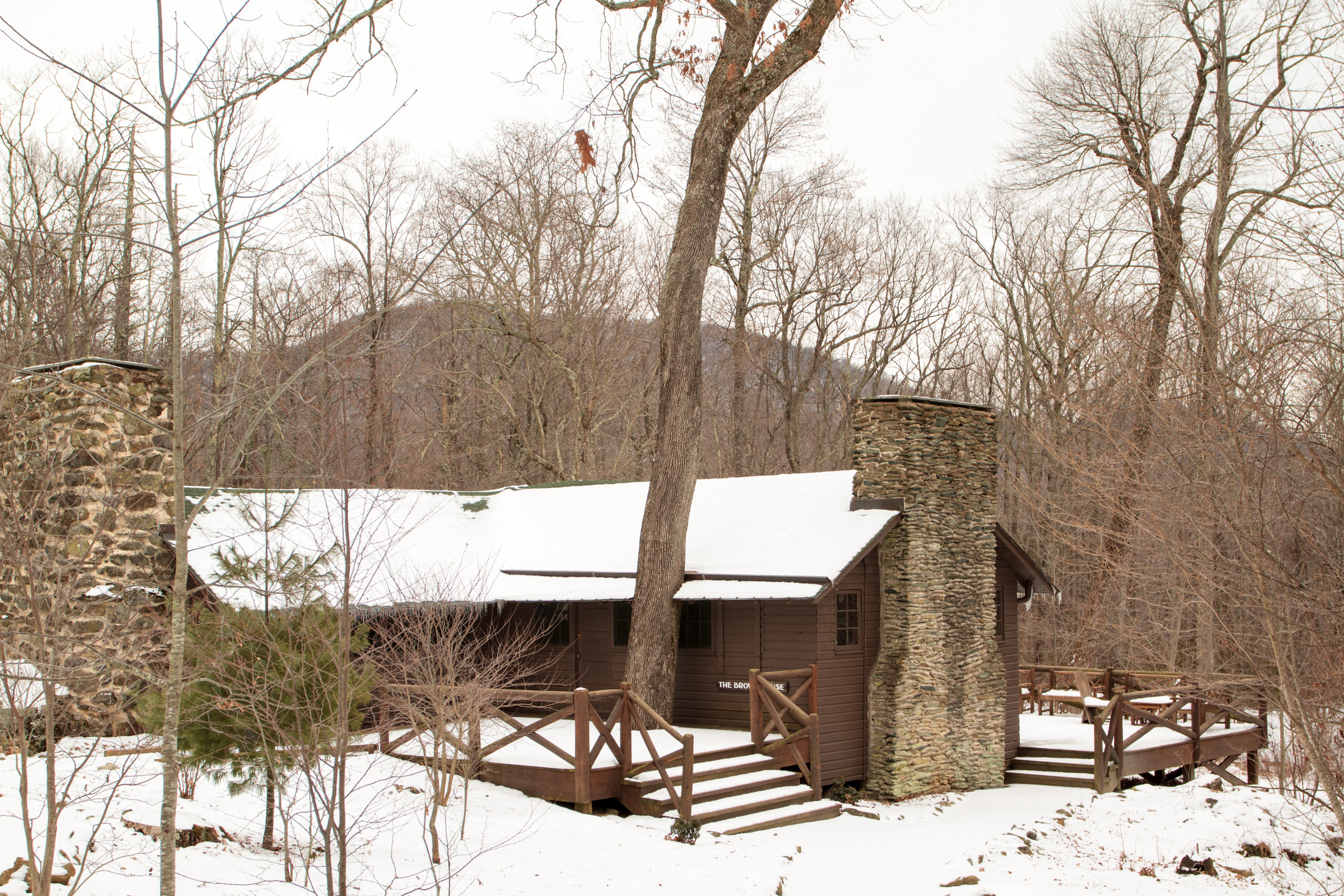
A circuit hike to Camp Rapidan, the rustic getaway of President Herbert Hoover and First Lady Lou Henry Hoover. Today, this restful spot features exhibits on the First Couple and their perspectives. This hike features three stream crossings, each about eight feet wide, which may be difficult to cross, depending on the amount of recent rainfall. Take your time crossing and turn around if you feel uncomfortable. If you are unable to do the hike, you can still take a virtual tour of Rapidan Camp.
Distance: 7.4-mile circuit hike
Difficulty: Moderately Strenuous (explanation of our hiking difficulty scale )
Hiking Time: 8 hours
Elevation Gain: 1,520 feet
Hike Description
From the Milam Gap parking area (mile 52.8), cross Skyline Drive and take the Appalachian Trail (A.T.) a few feet to the trailpost.
Go left onto the blue-blazed Mill Prong Trail.
Take a slight right onto the yellow-blazed Mill Prong Horse Trail and follow it to Rapidan Camp.
After exploring the camp, take the Laurel Prong Trail (an old road trace), which is yellow-blazed, for about a half mile.
Continue straight on Laurel Prong when it becomes blue-blazed and stay on it past the junction with Cat Knob Trail.
At the junction with the A.T., turn right and follow it north across Hazeltop, the third highest peak in Shenandoah.
The A.T. will take you back to your starting point Milam Gap.
Accessibility This trail does not meet ADA accessibility guidelines.