
Meadow Spring Trail
Hazel River Falls 5.3 mi round trip · the Park Service's write-up
5-6 Hours · dogs allowed
Start Central District (Mile 33.5)
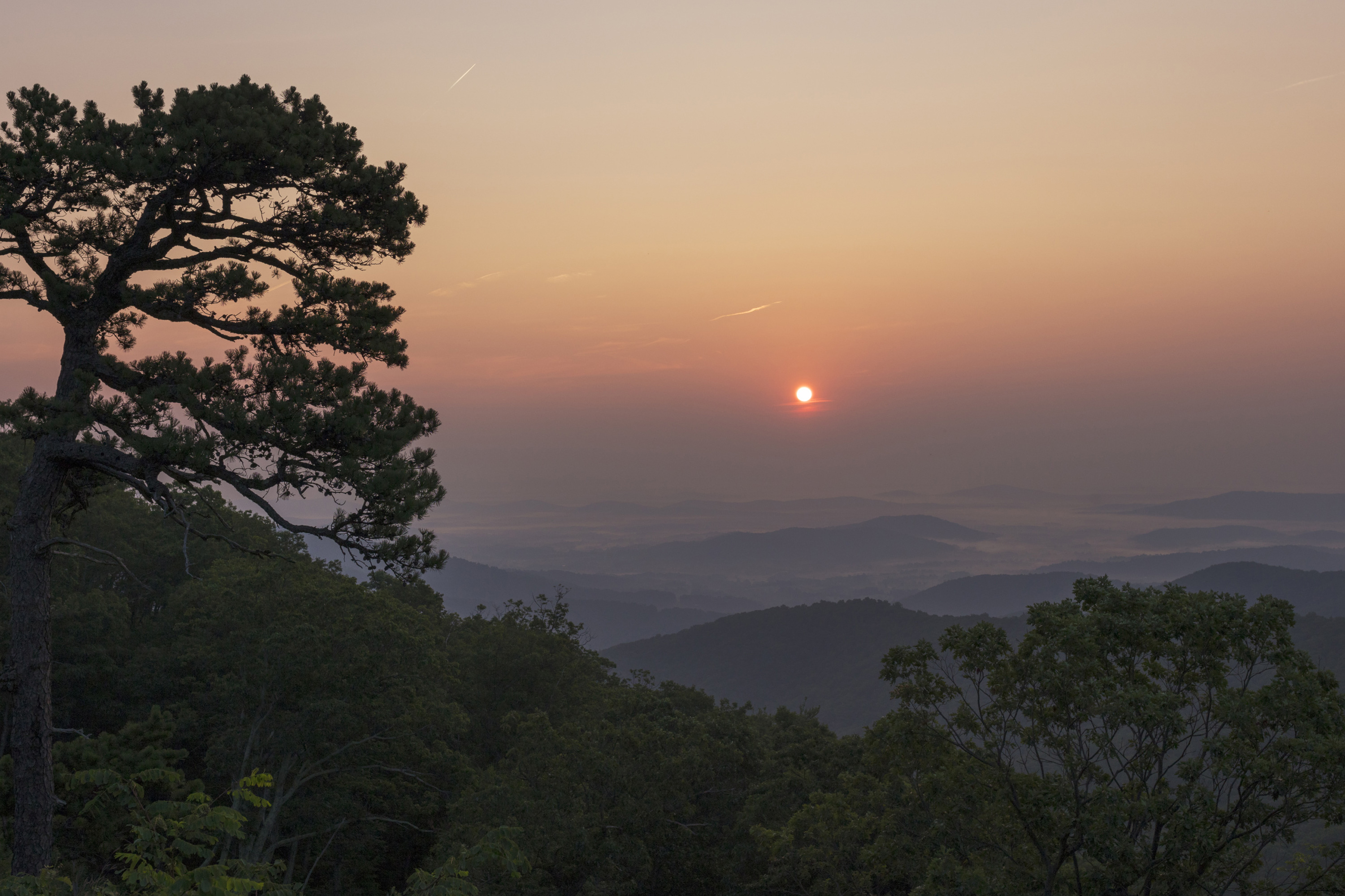
A trail that leads you into the Shenandoah Wilderness to an exceptional waterfall.
Distance: 5.3-mile round trip hike
Difficulty: Moderate ( hiking difficulty scale )
Hiking Time: 5 hours
Elevation Gain: 1,070 feet
Hike Description
From Meadow Spring Parking Area (mile 33.5), take the yellow-blazed Hazel Mountain Trail past the Buck Ridge Trail.
At the fork, go left onto the yellow-blazed White Rocks Trail.
At the next trailpost, go right and continue to two small waterfalls.
Turn around and retrace your steps back to the parking area.
Accessibility This trail does not meet ADA accessibility guidelines.
Marys Rock From Meadow Spring 2.9 mi round trip · the Park Service's write-up
2-3 Hours · dogs allowed
Start Central District (Mile 33.5)
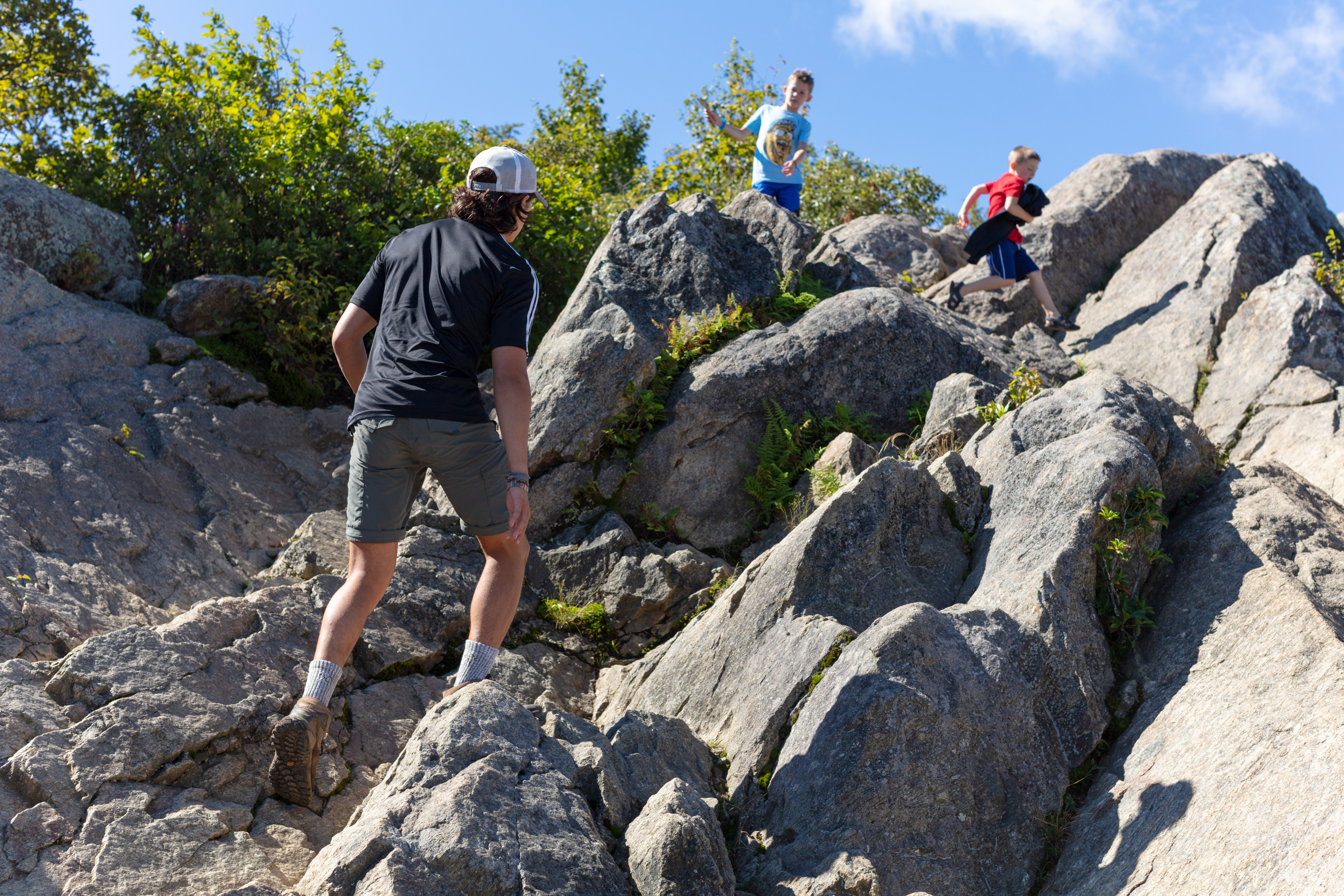
This alternate route to Marys Rock Summit offers an easier and shorter trek to the same incredible westward views of the Shenandoah Valley. Along the way, hikers will pass by the remnants of the former Meadow Spring Shelter as well as beautiful azalea blooms in season.
Note that very limited closures are in effect in an effort to prevent further degradation of important outcrop ecosystems on Marys Rock.
Distance: 2.9-mile round trip hike
Difficulty: Moderate ( hiking difficulty scale )
Hiking Time: 3 hours
Elevation Gain: 830 feet
Hike Description
From Meadow Spring parking area at mile 33.5, cross Skyline Drive and take the Meadow Spring Trail to its intersection with the Appalachian Trail (A.T.).
Go right onto the A.T. and follow it to the next trailpost.
At the trailpost take a left to the viewpoint.
Retrace your steps back to the parking area.
Accessibility This trail does not meet ADA accessibility guidelines.